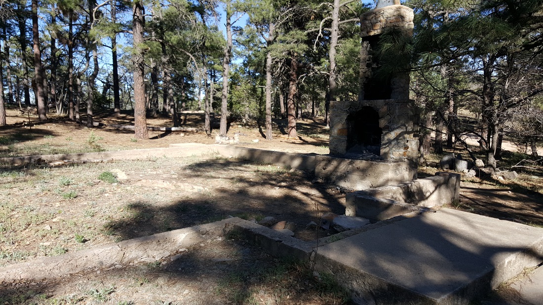
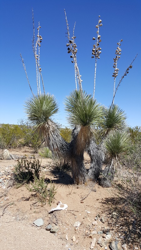
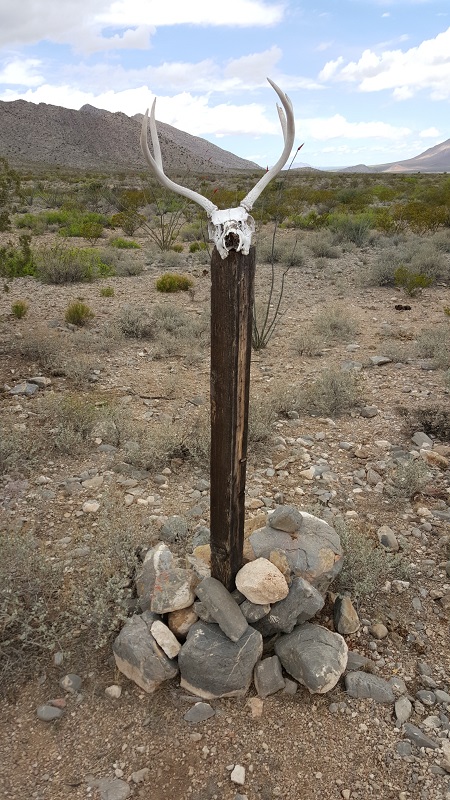
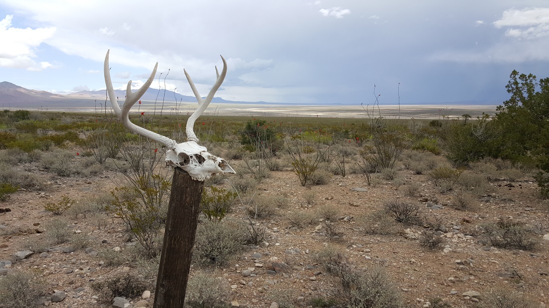
We found the foundation of a house on a small mountain. I recognized it from one of Joe Brewer’s trail videos.
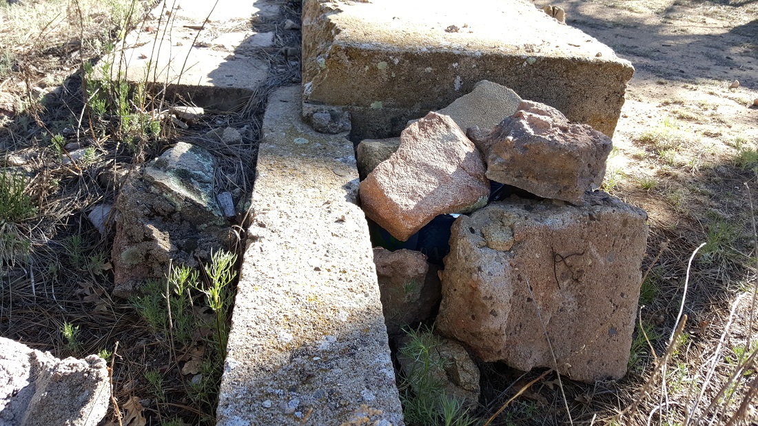
I waited at the foundation while Six-2 went to explore a communication tower nearby. While sitting here, I discovered an unopened 12-pack of Dasani water stashed beneath these rocks.
This water source was kinda eerie, as it was super cold and dark and it seemed to descend for forever. We cooked dinner here and then hiked into the night, trying to lose elevation and then walking alongside a dry riverbed for several miles. We were off-course, I think because we’d gone to this water source, so it was comforting to reach a road before we made camp in the dark.
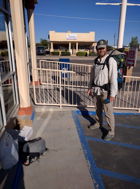
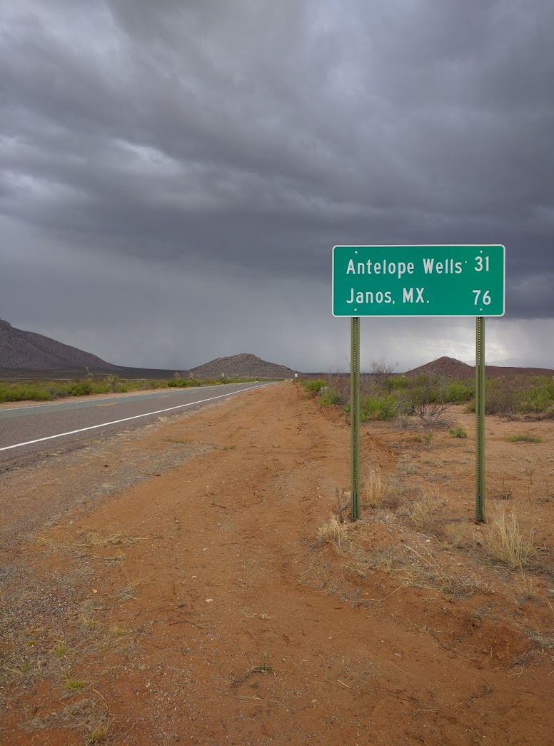
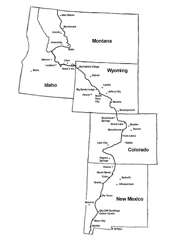
We hit the post office at opening so Six-2 could “bounce” his work laptop ahead.Finally escaping Lordsburg and headed to Silver City.
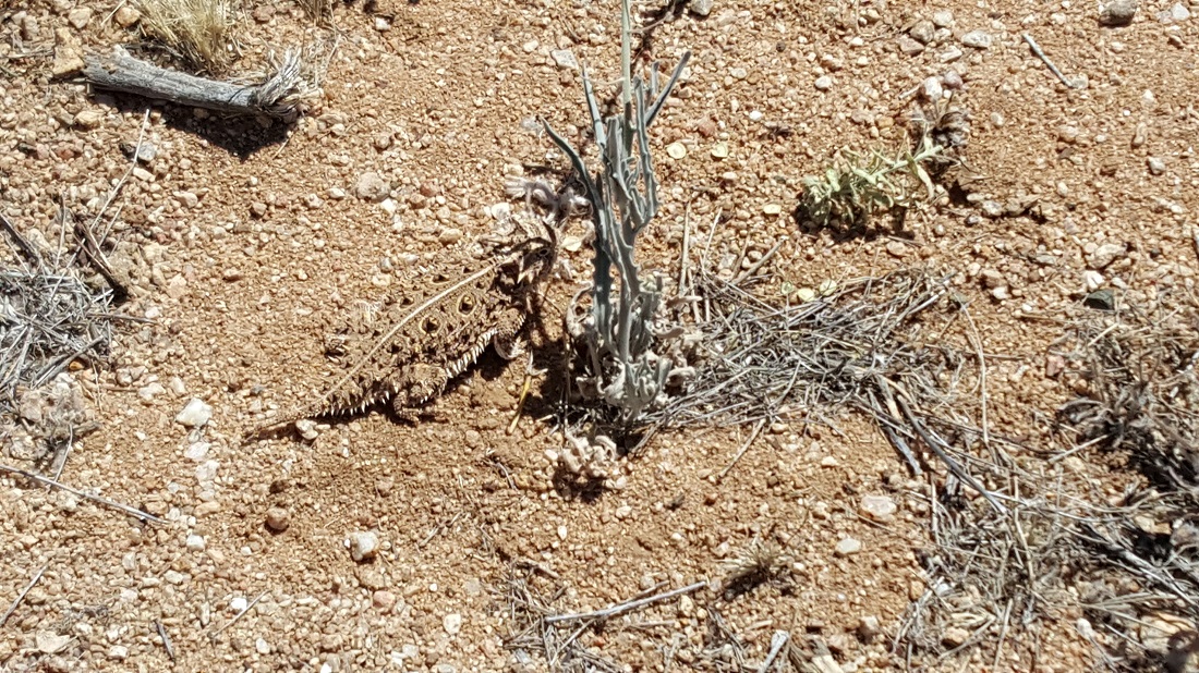
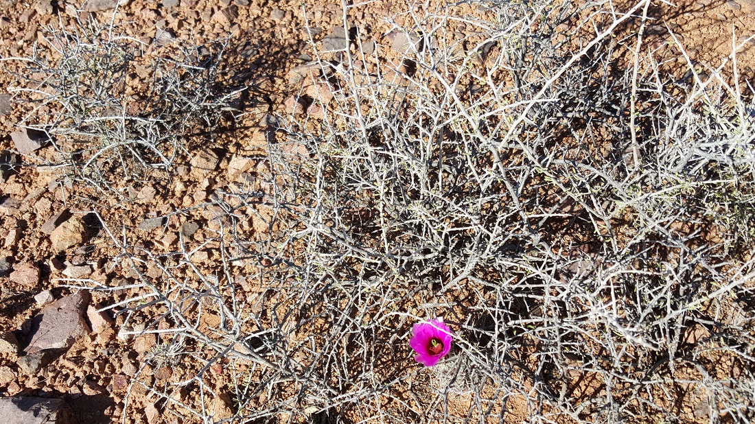
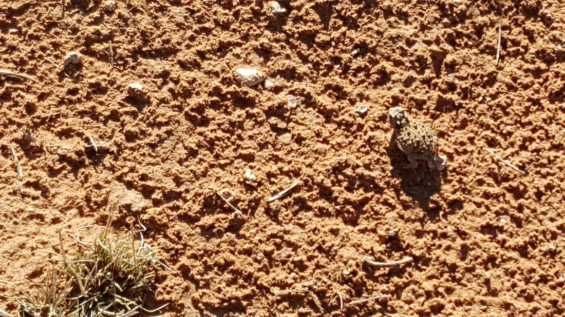
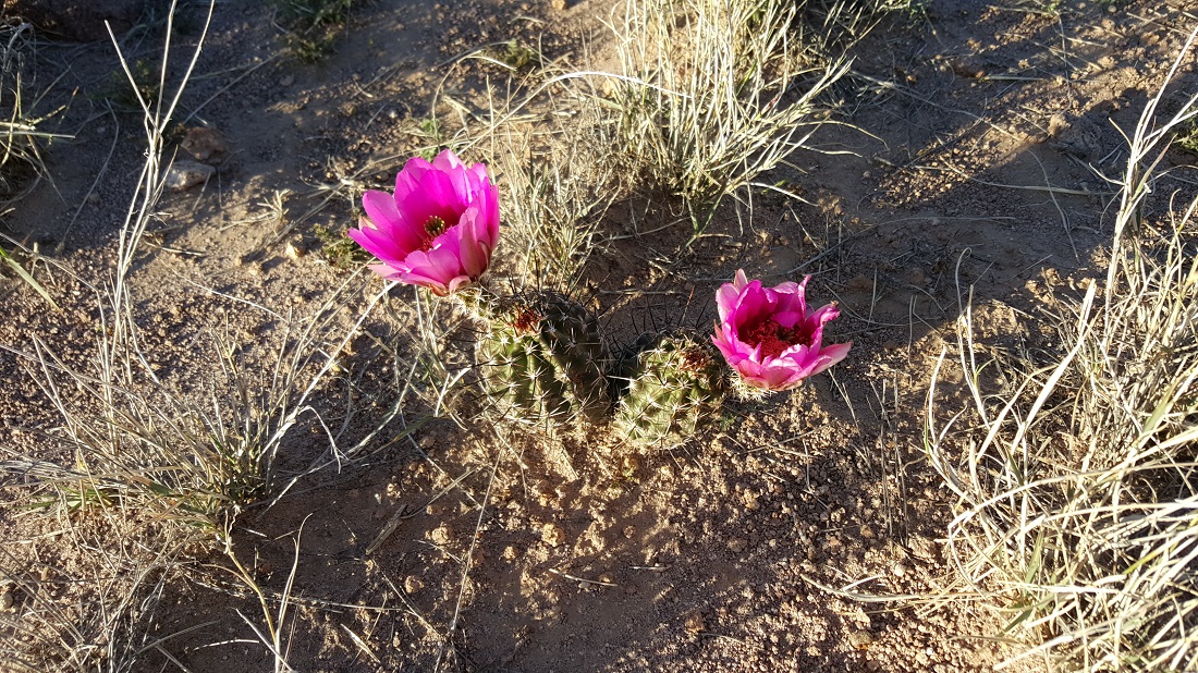
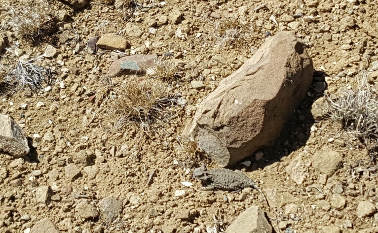
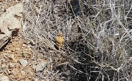
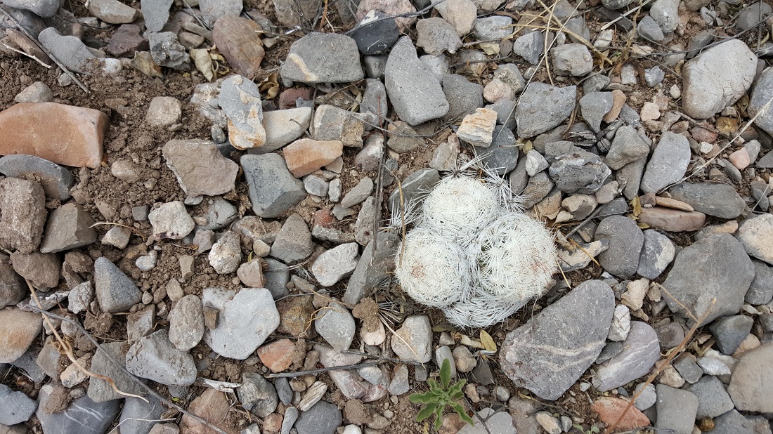
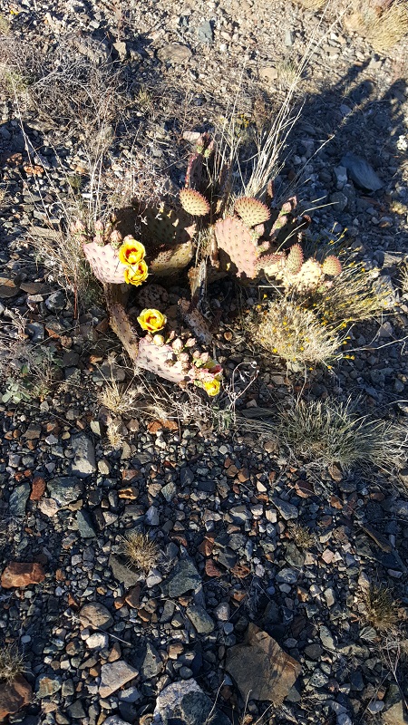
A horned toad (harmless lizard)
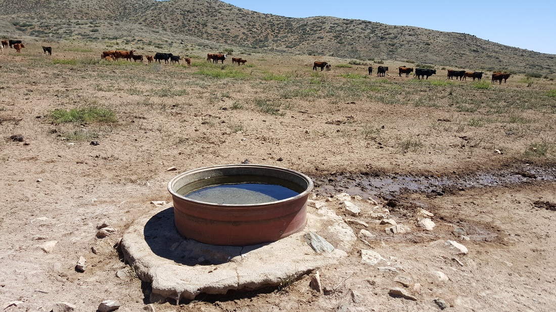
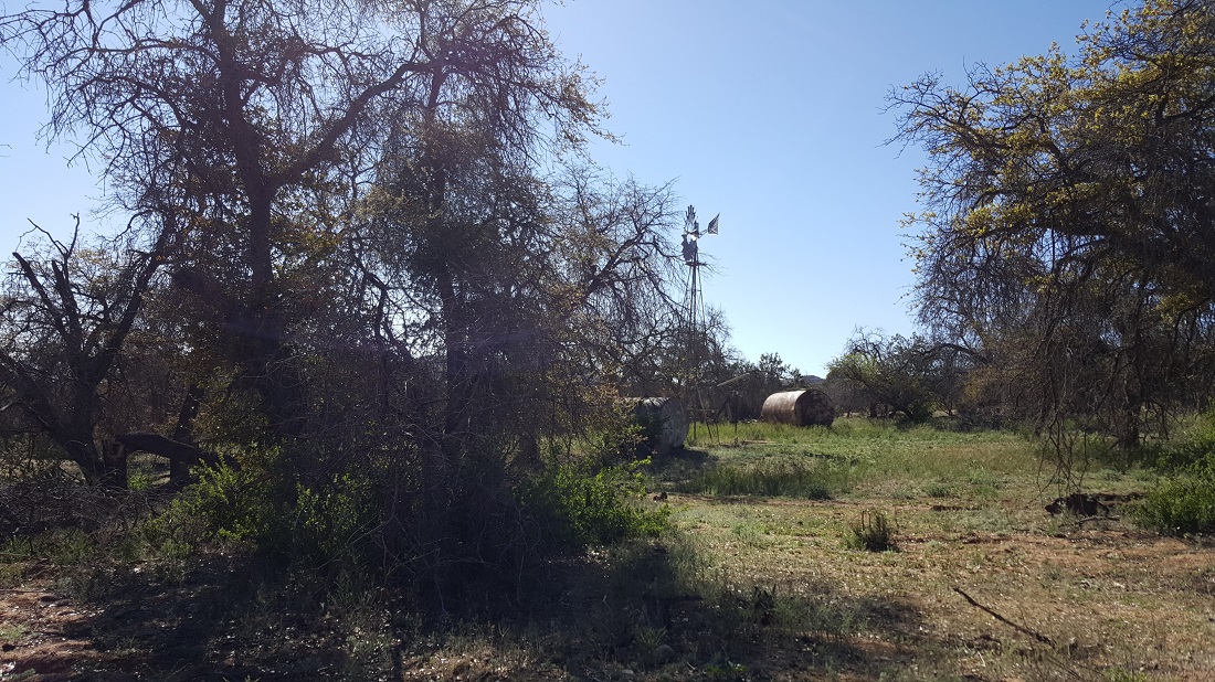
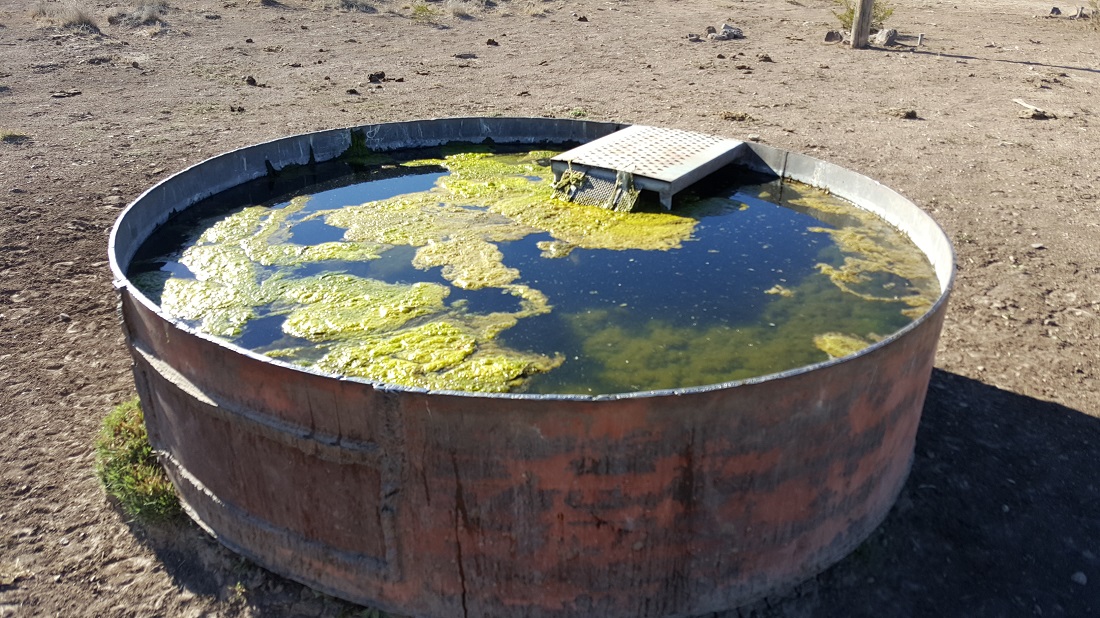
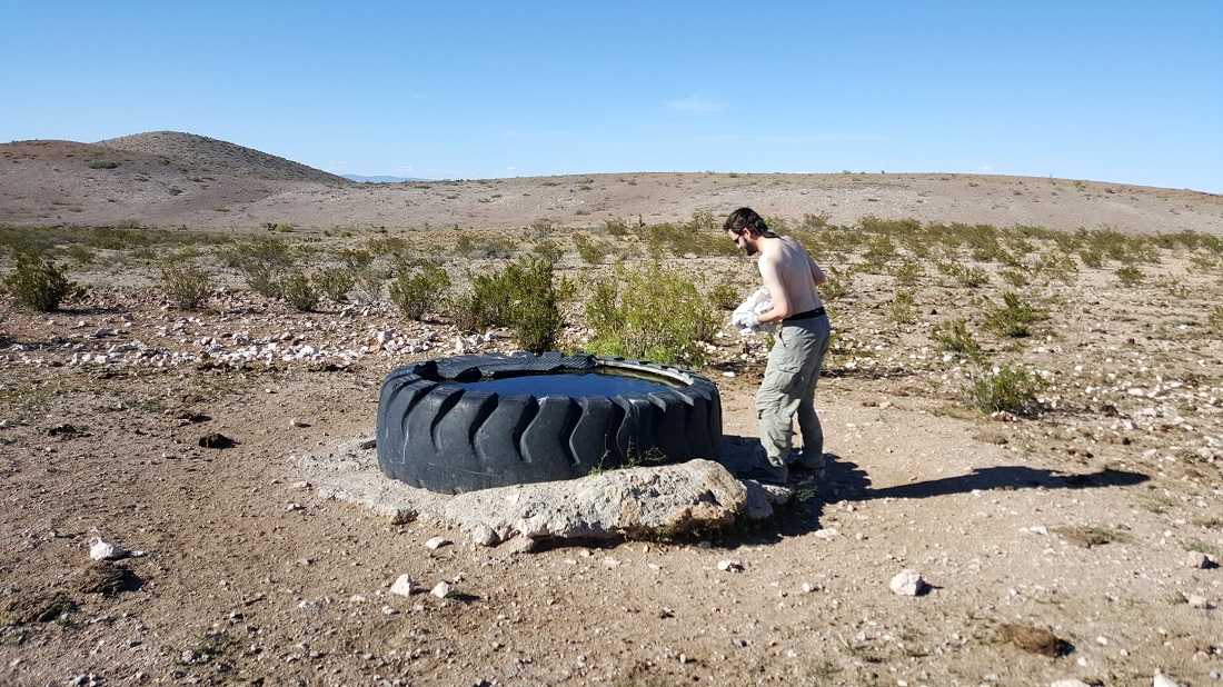
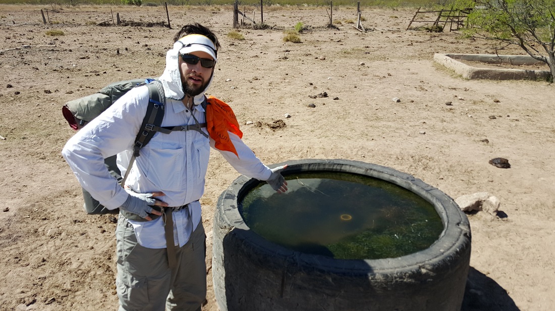
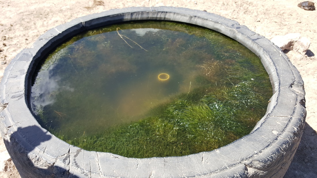
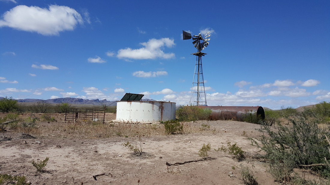
We had planned to use this trough, and I believe Six-2 did. But I carried enough from town that I thought I’d take my chances later in the day (and was glad I did).Near the end of the day, we hit upon a working windmill well, which was wonderful. There was a motion-triggered camera at a trough there to film the natural fauna use it. Six-2 made sure to give the camera some interesting footage.
We were all quite excited for a town day. It’s amazing how you can crush the miles if you know you’re going to be rewarded with an ice-cold Coke.
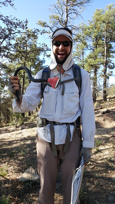
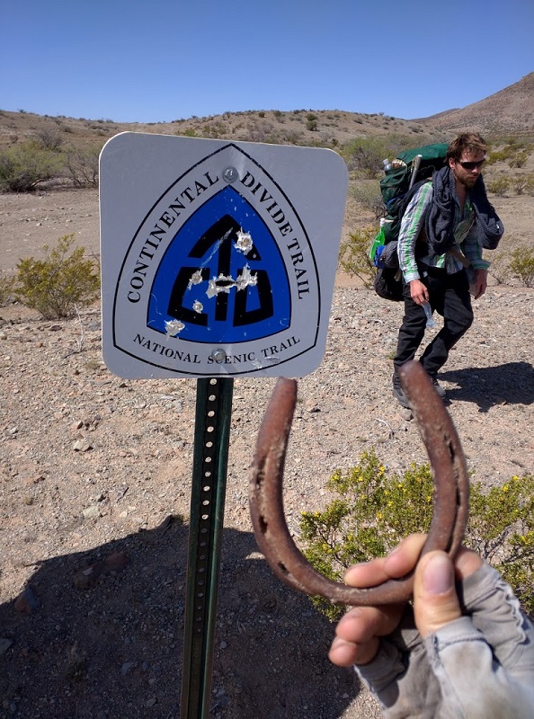
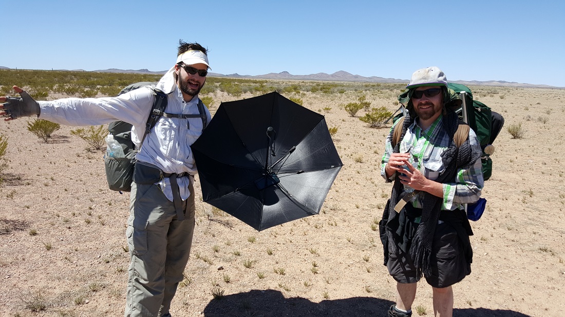
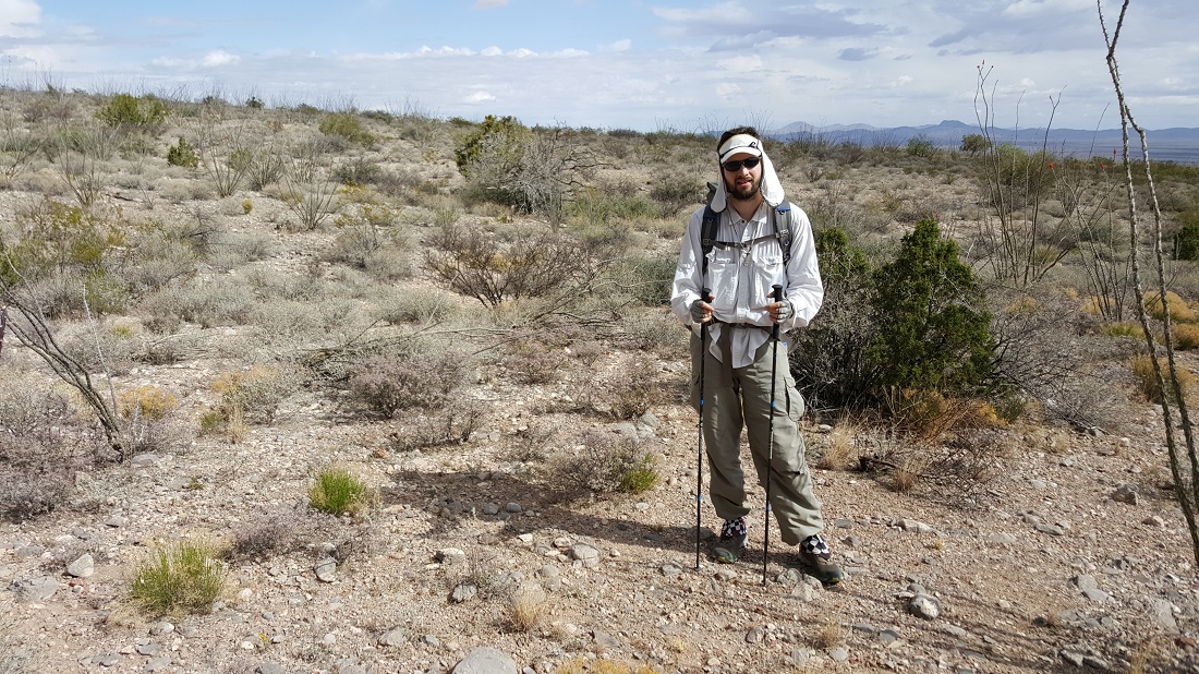
Six-2, NOT the Husk, tyvm.
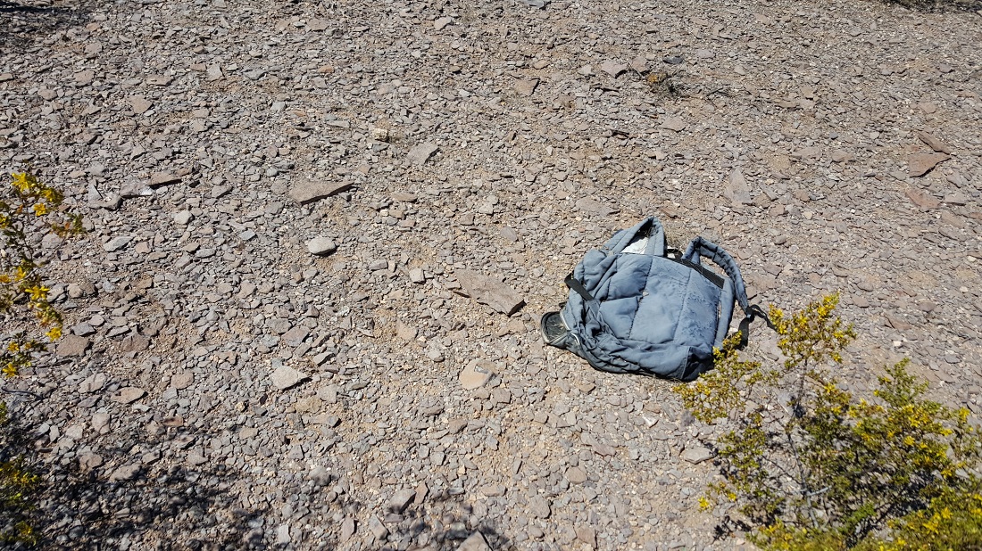
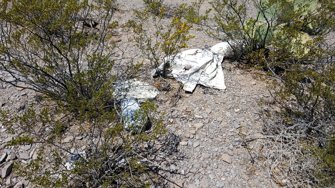
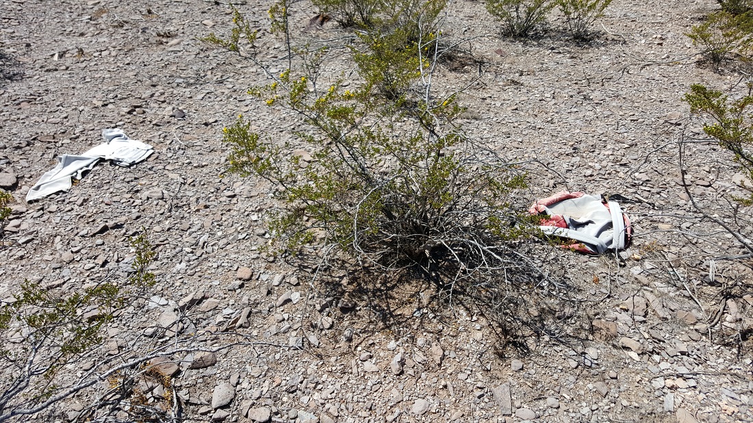
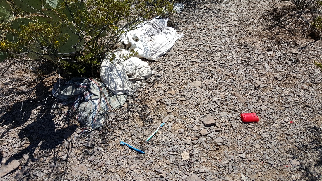
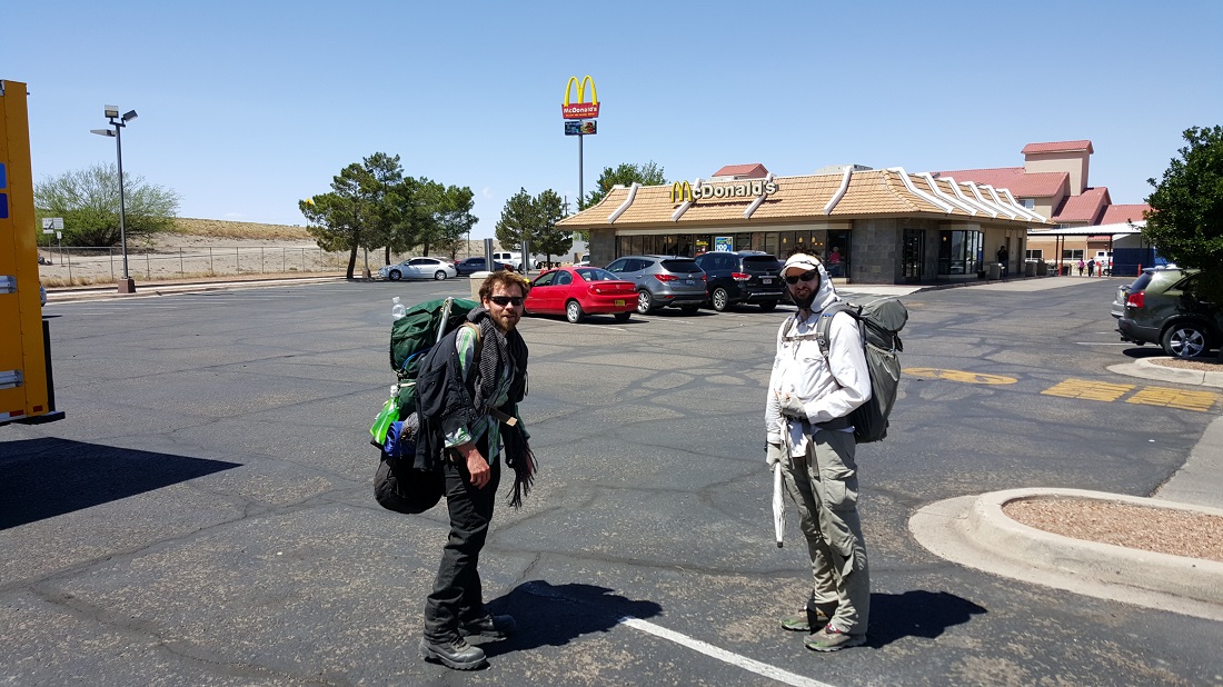
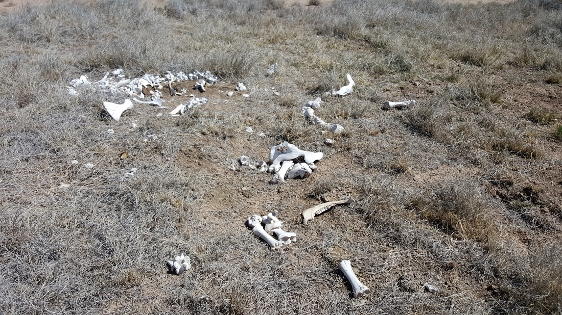
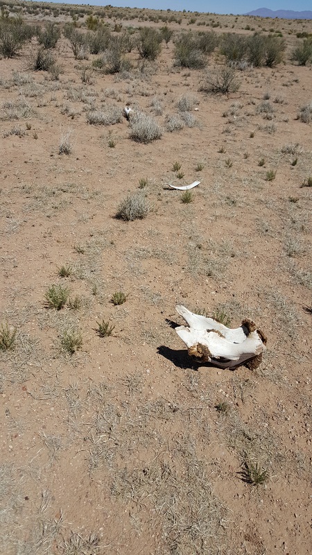
Around this time, we could just make out the golden arches in the distance. It was like a mirage, and seemed like it should have been 2 miles closer than it was. Along the way, we passed a Catholic cemetery on the outskirts of town, and near there, we saw two abandoned backpacks, two toothbrushes, two sets of clothes. Looks like maybe some immigrants from Mexico reached this area and then jettisoned their travel clothes, put on clean clothes, and walked into town. But we don’t know.
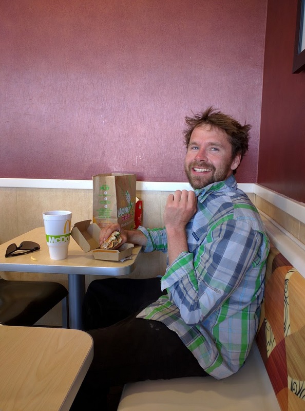
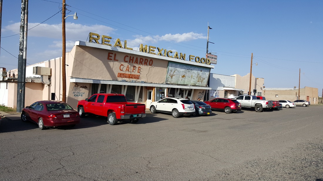
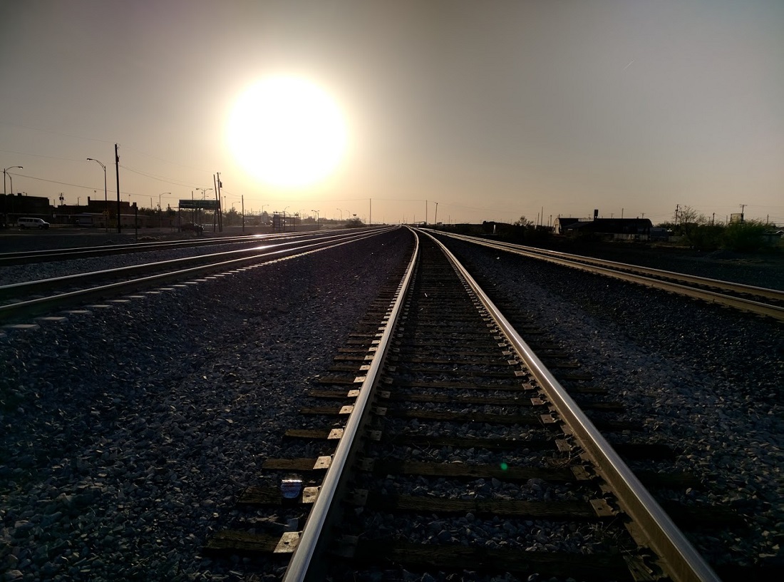
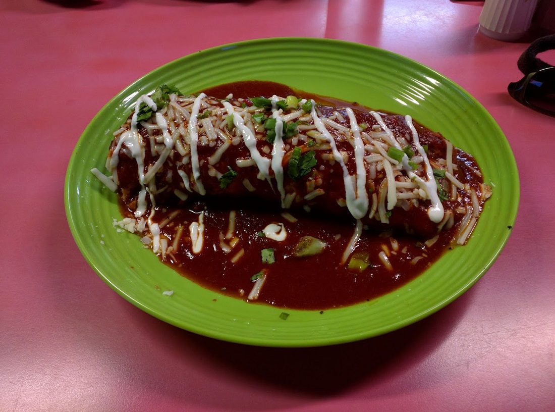
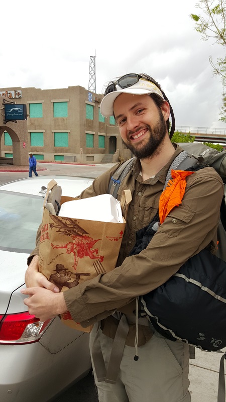
This was Lordburg’s only fast-food option.Not gonna lie. We really hit the free refills hard.We returned here for dinner.The tracks of Lordsburg, now a mostly shuttered town. Several photos by Six-2.
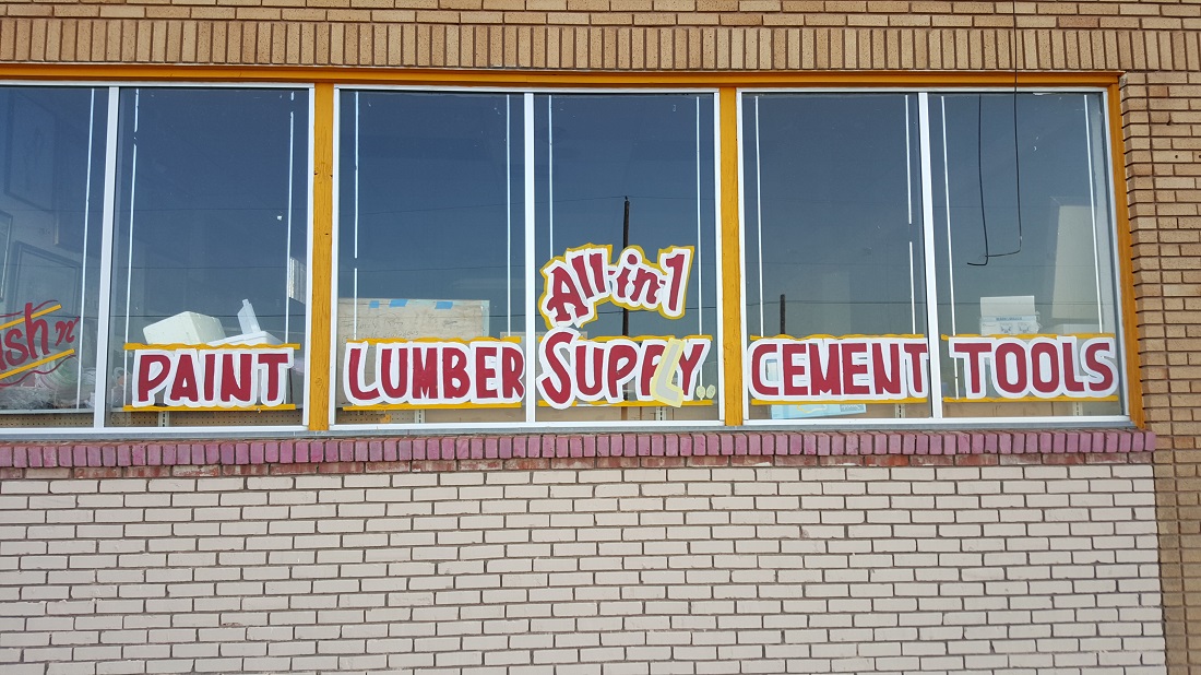
We got the sense that spelling wasn’t really anyone’s forte.
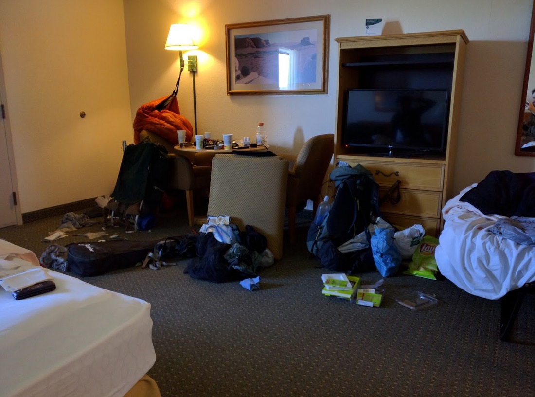
Our hotel room was soon a disaster. A very common sight in trail towns. 🙂 Six-2 now needs to take two days for work. After he’s done, we’ll push on to Silver City.
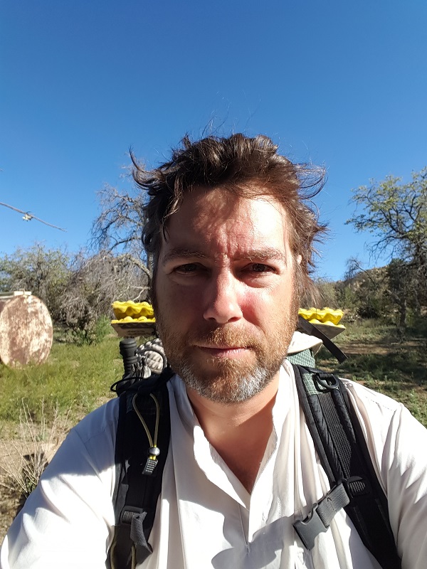
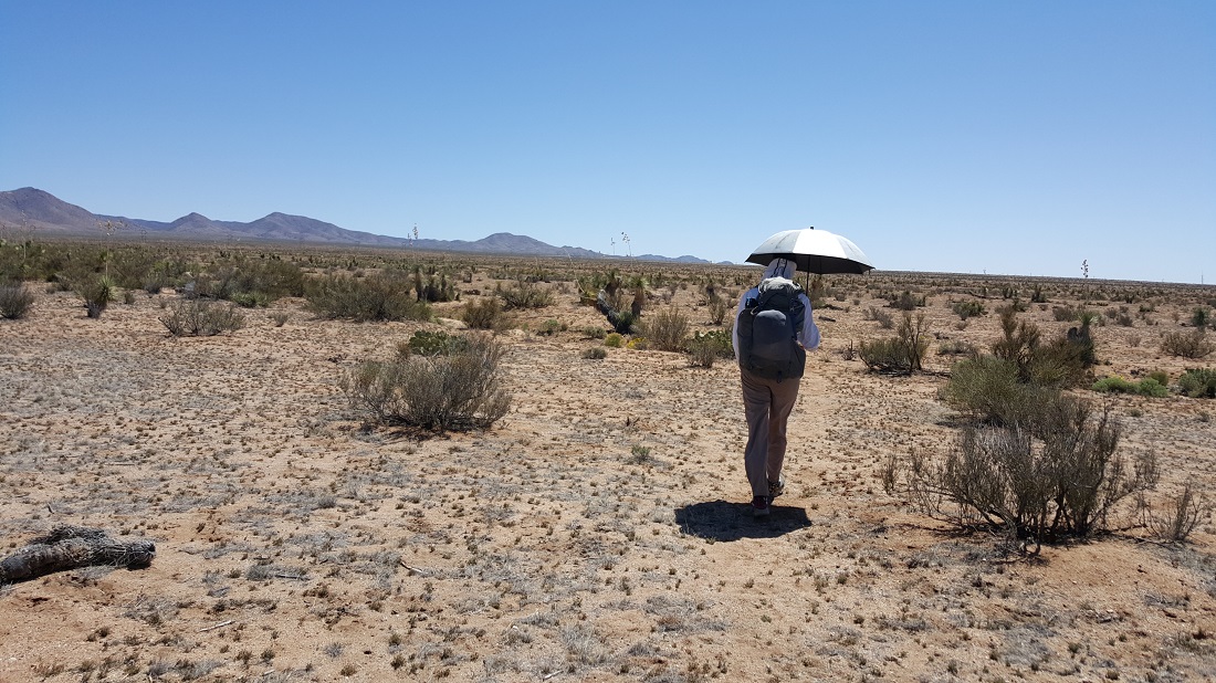
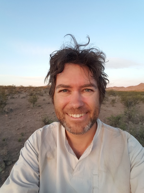
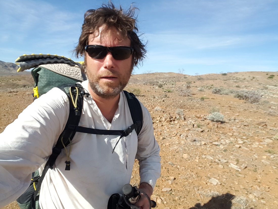
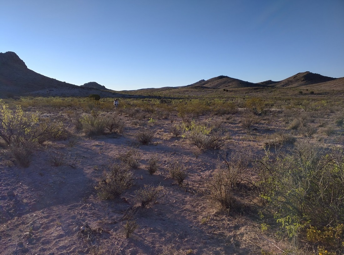
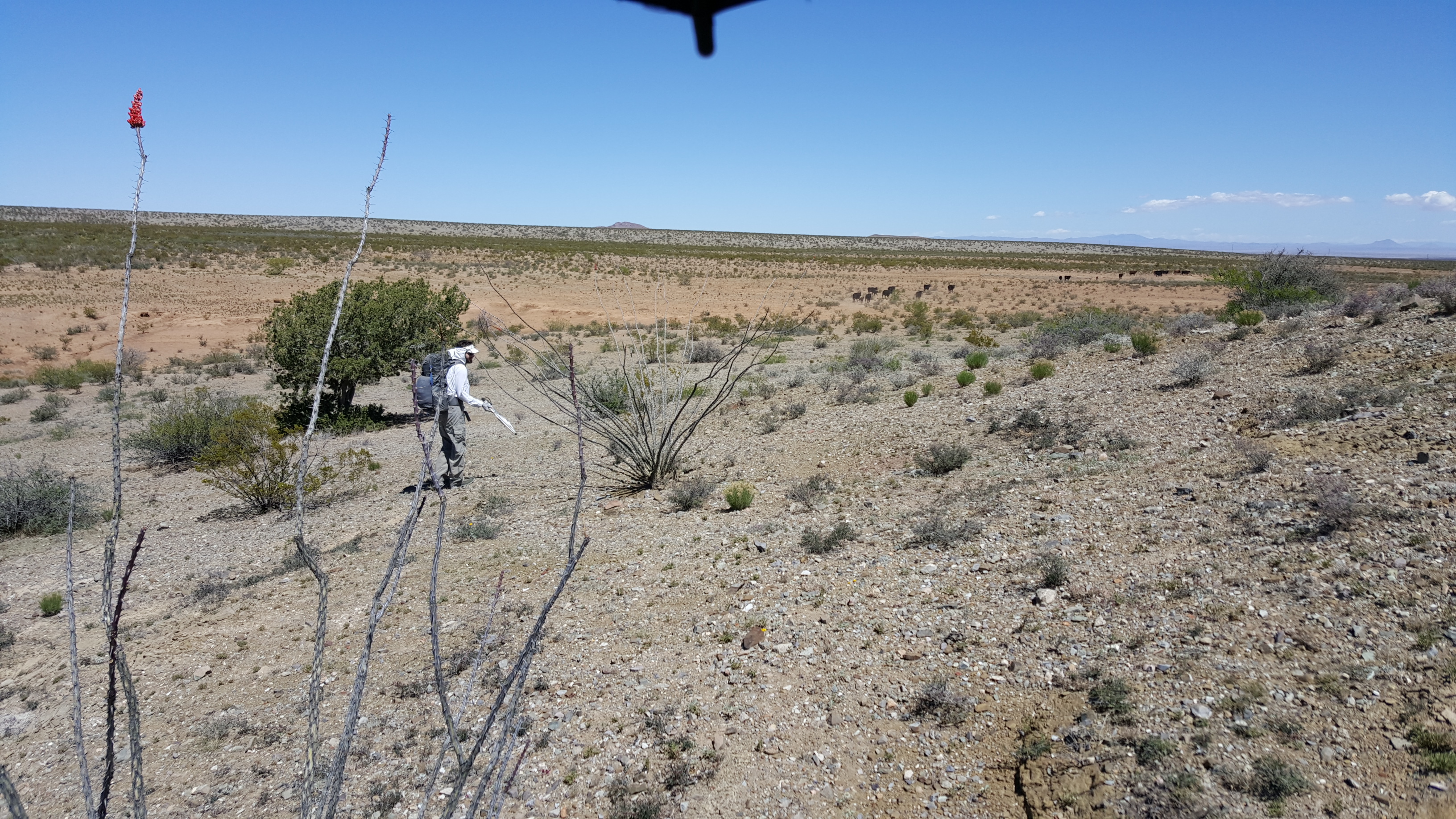
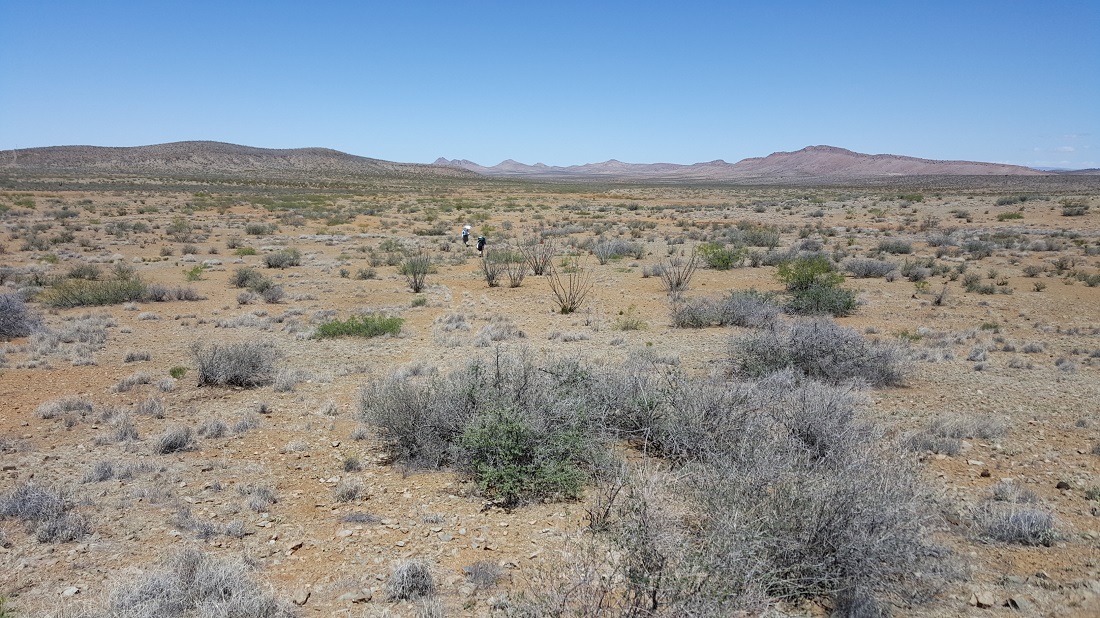
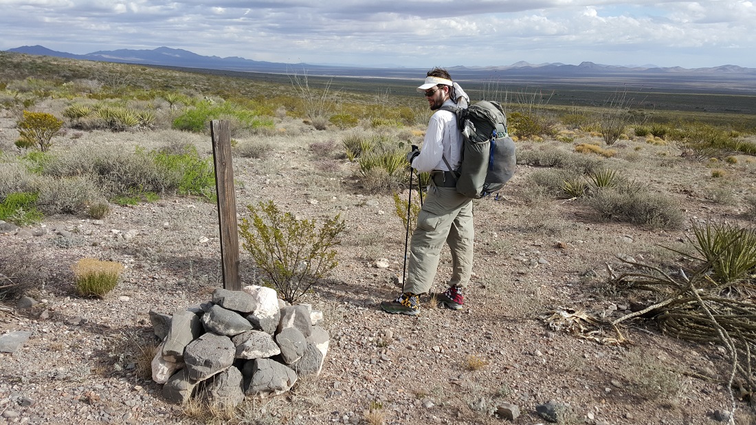
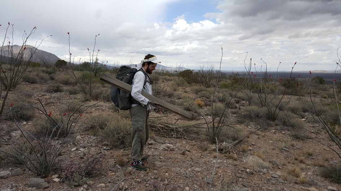
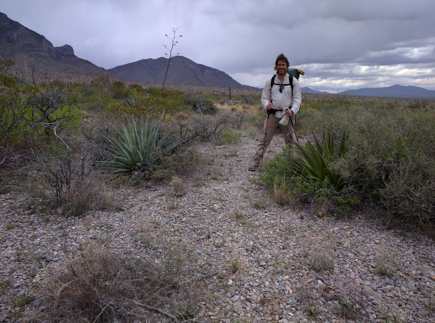
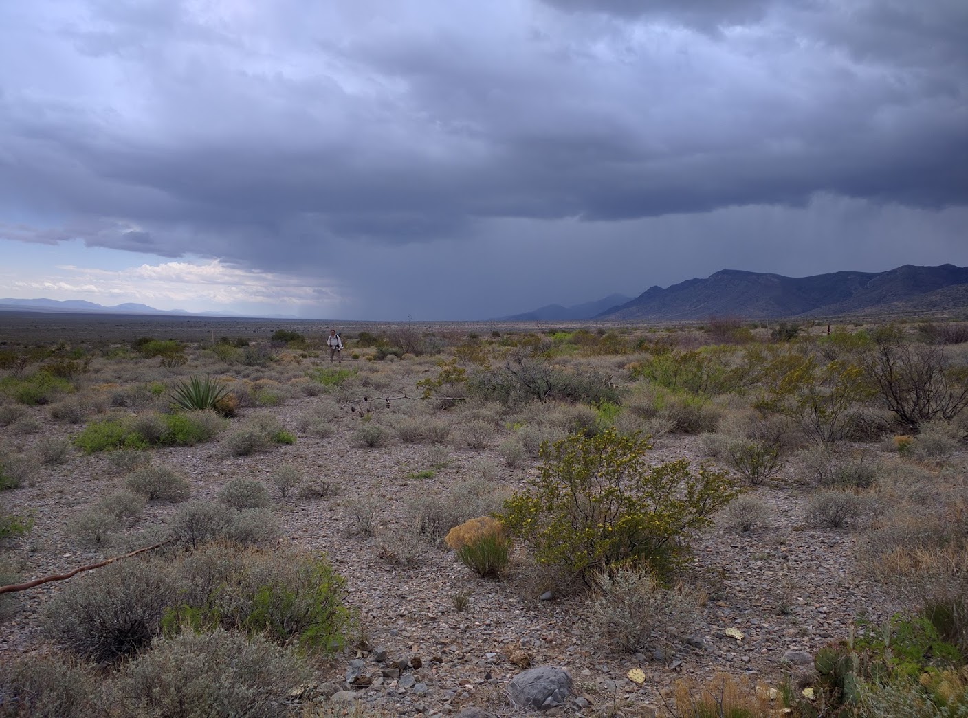
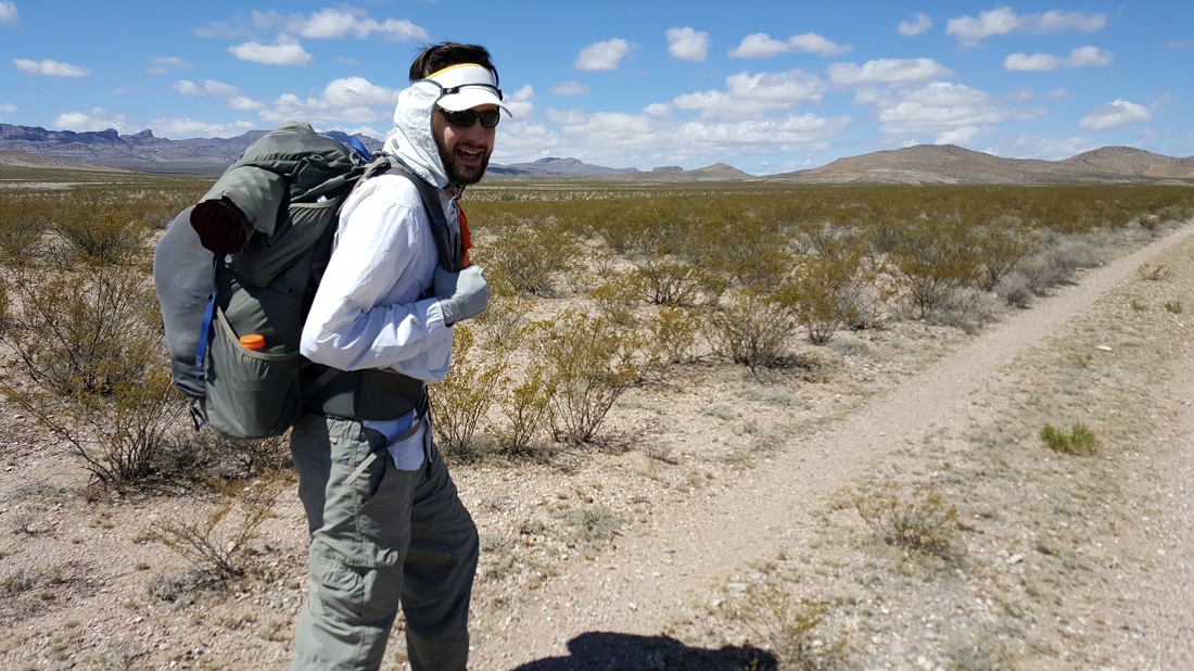
Yours truly in the distance. Photo courtesy of Six-2.
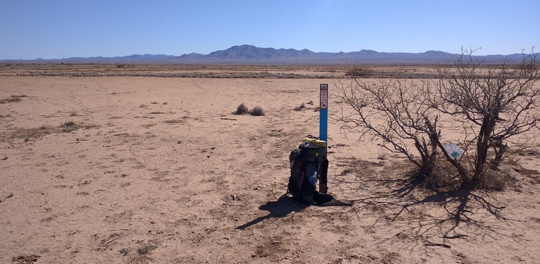
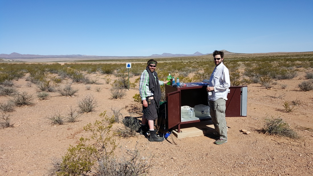
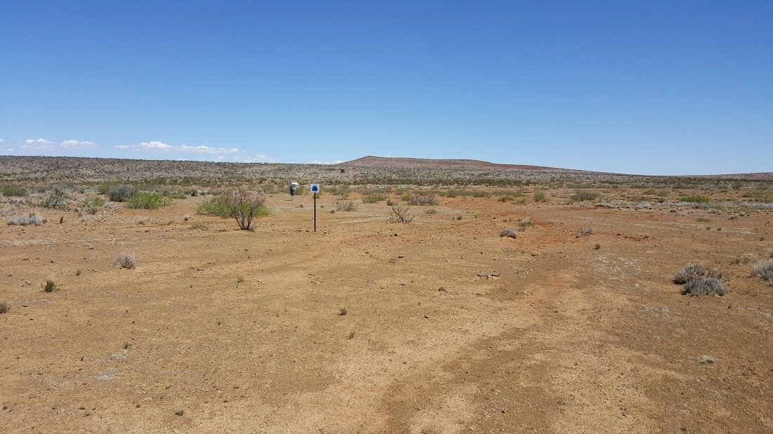
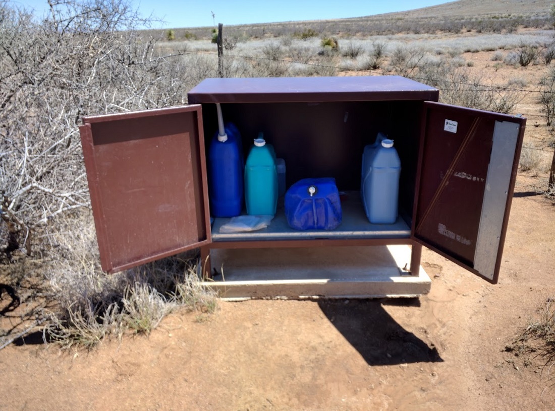
Water cache #4 for the week.
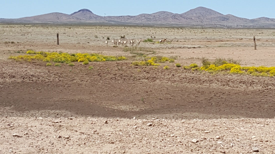
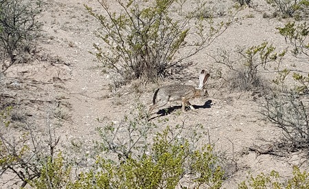
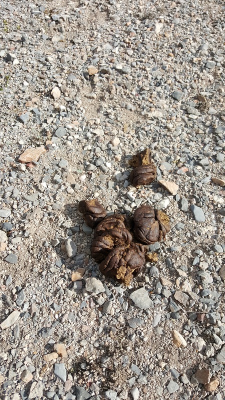
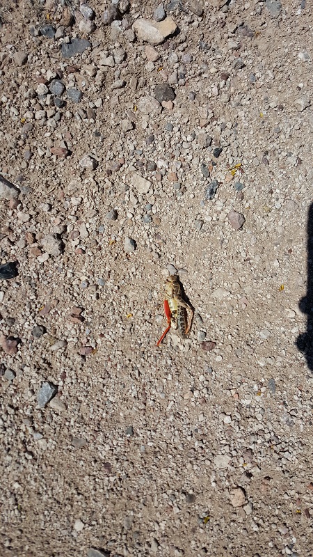
We saw a bunch of pronghorn (akin to antelope), and even 3 wild javalinas (boars) later in the day.
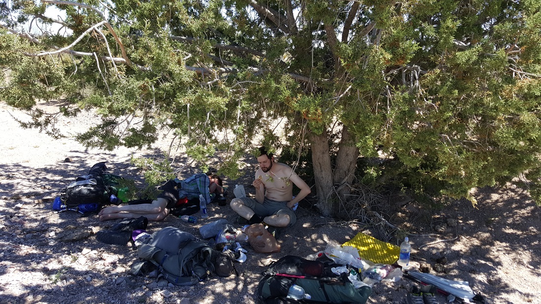
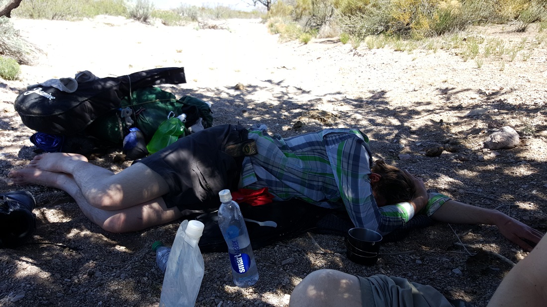
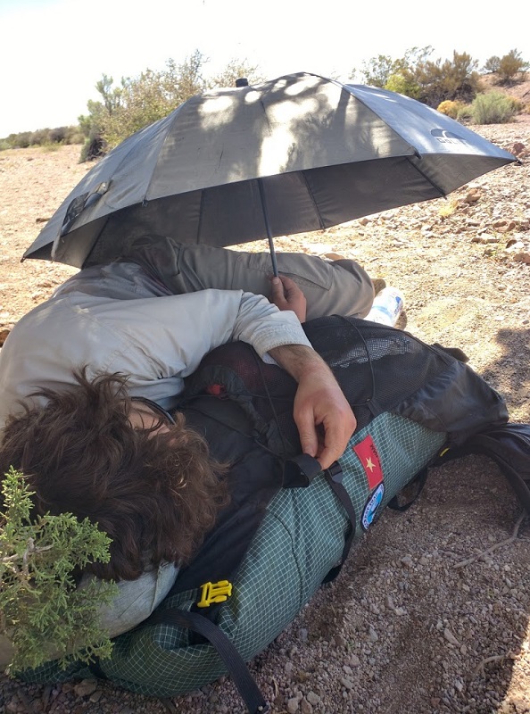
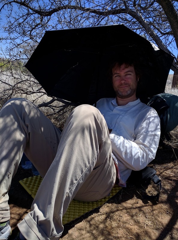
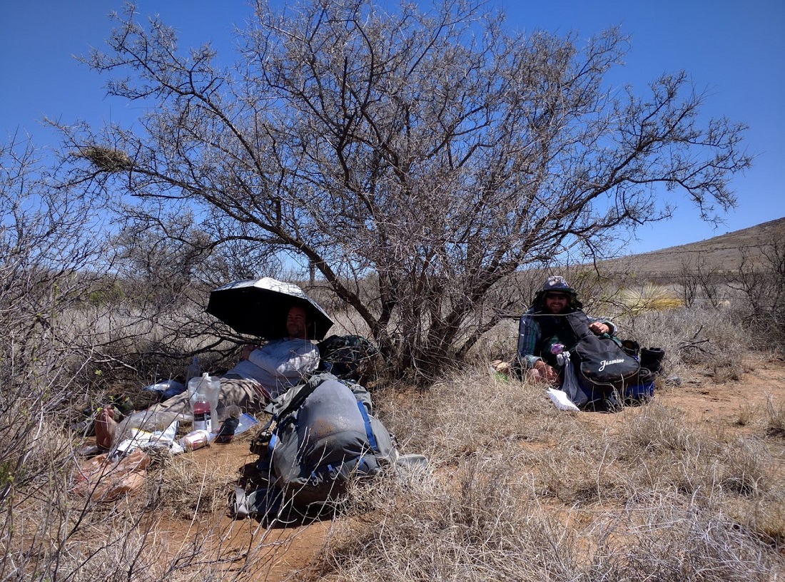
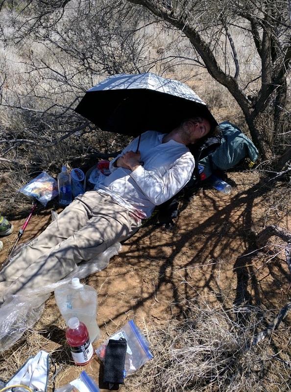
It was a terribly hot afternoon. We went through a small gully and found this tree, which was perhaps the only tree of any real shade for the entire day. Six-2 declared he was taking a 2 hour siesta, but Jasmine and I decided we would just push on. We climbed out of the other side of the gully and saw only desolation as far as the eye could see. It didn’t take much for us to convince ourselves to turn around and retreat to the tree of sanctuary. It was the right decision!
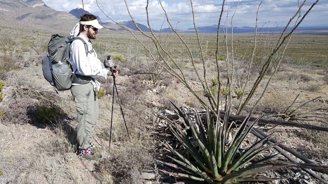
The shade beneath the tree was littered with cow dung. It was too much to worry about.Jasmine and Ironhusk in the distance.
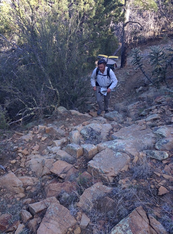
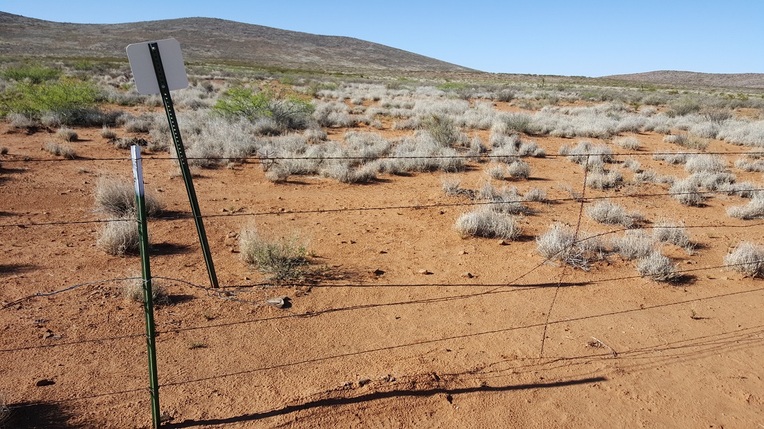
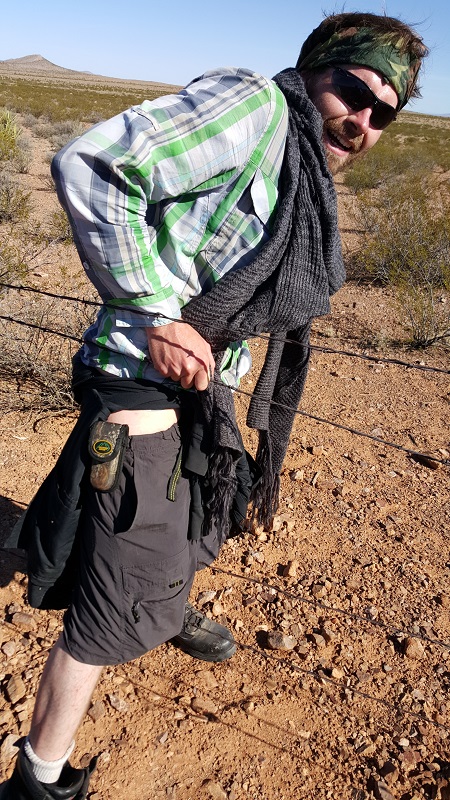
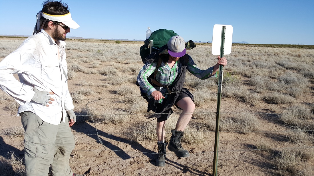
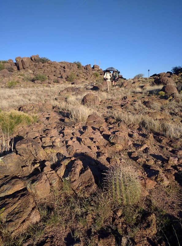
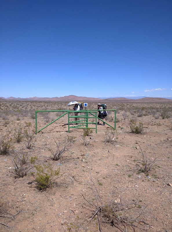
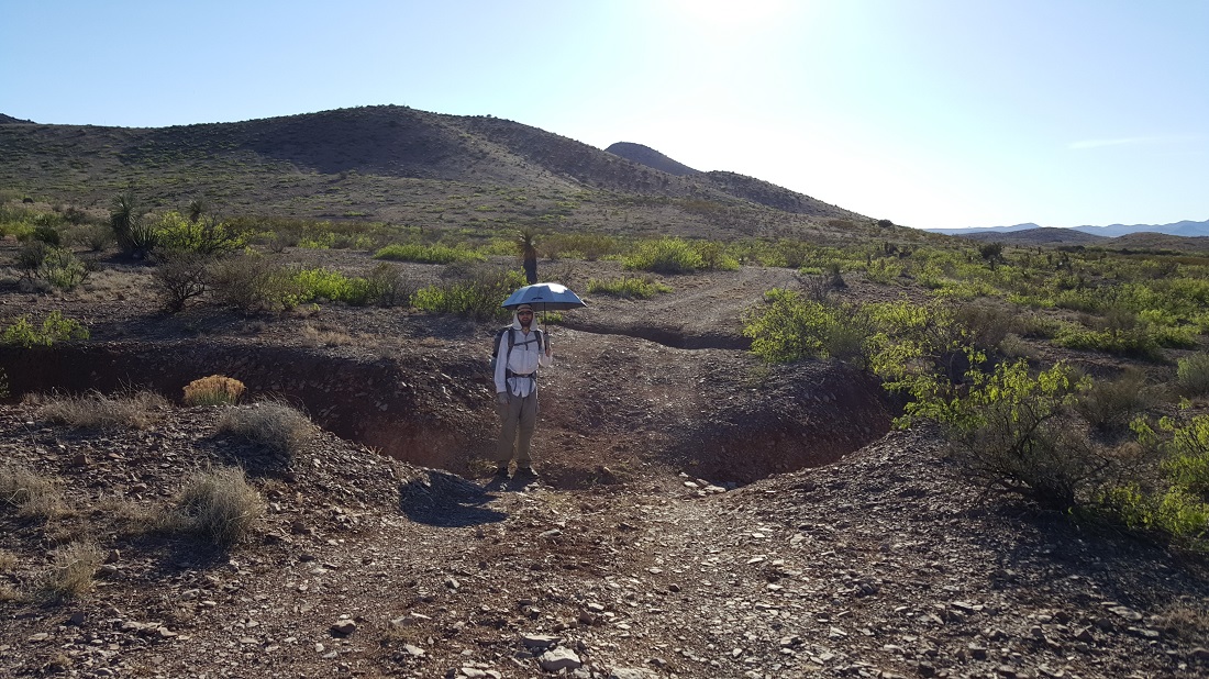
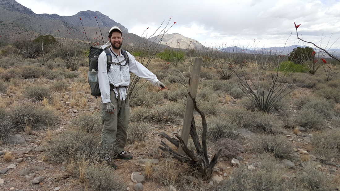
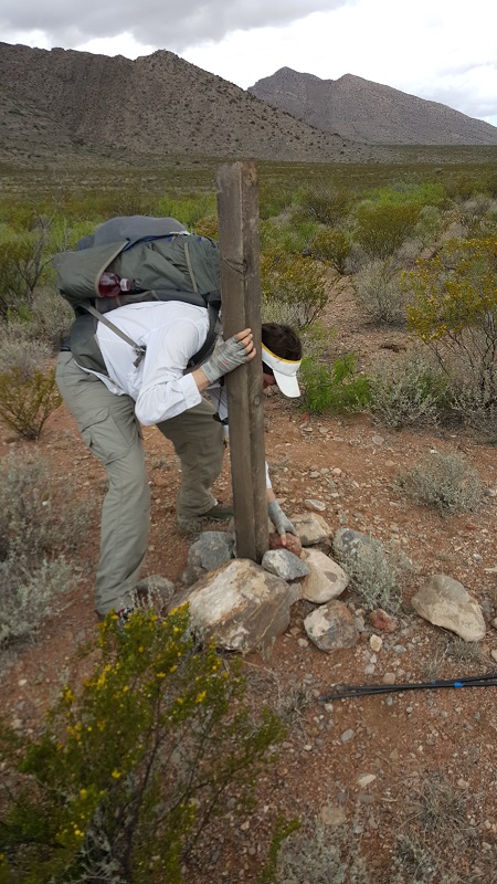
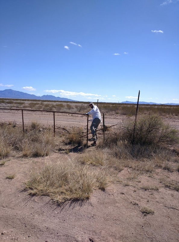
Very glad he didn’t wreck his eye or face on the barbed wire (video at top). The CDT map calls this a “gate”.
Six-2 encouraged me to cowboy camp outside with him tonight, gushing about how beautiful the Milky Way was. But ever since our first night of getting caught in the rain storm, I was once bitten-twice shy. 🙂
We ran into Jasmine early this morning, who had made a camp replete with a campfire and traditional coffee. It was hard not to snicker when he admitted to having spilled half a bottle of honey in his pack. I imagined his paper maps all stuck together. It was nice to hike with him, however, and we continued together until Lordsburg.
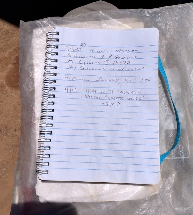
Every cache has a register like this, so friends can communicate back and forth. It’s useful at times to know how hard you need to push to catch a friend, for example.
The 3rd water cache for the week.We took a siesta to try and mitigate the midday heat.
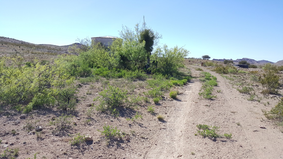
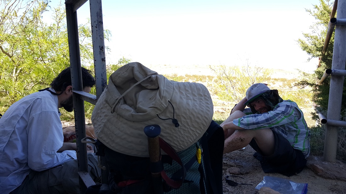
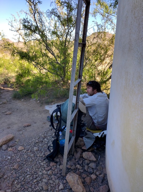
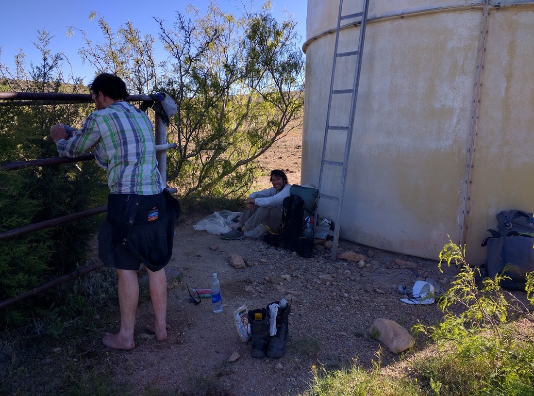
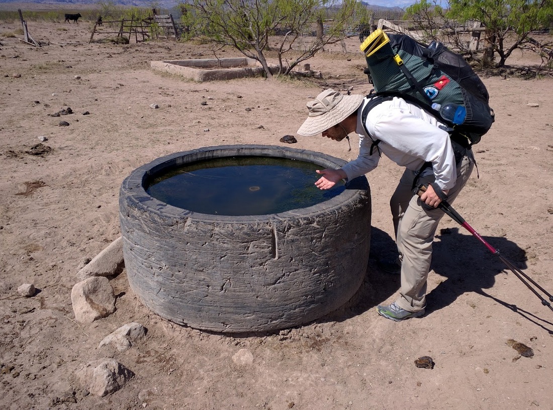
We were delighted when we reached this water tank, which was not a guaranteed source of water. The boys both cooled their feet with the accessible hose.
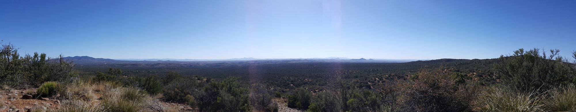
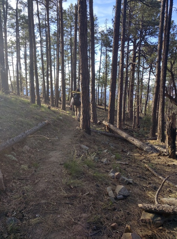
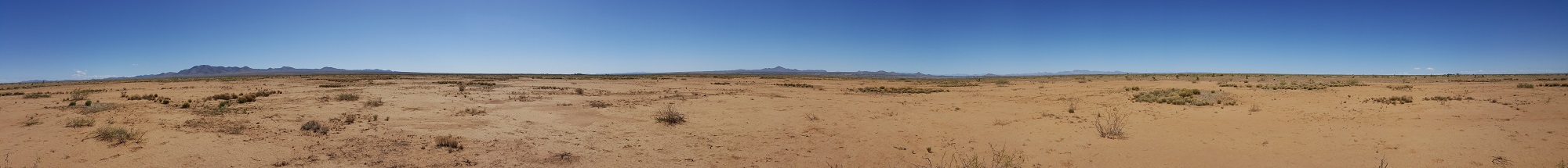
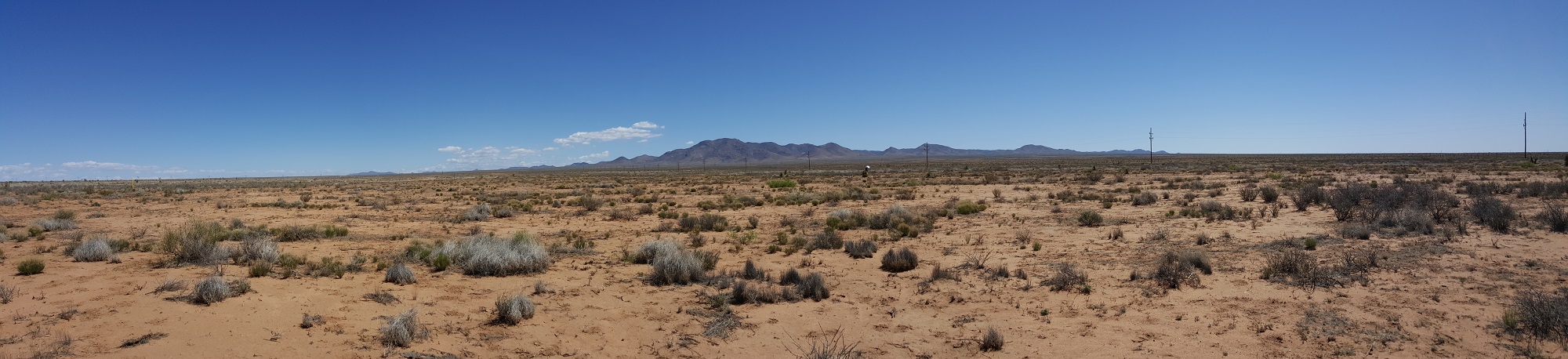
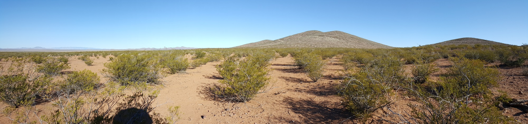
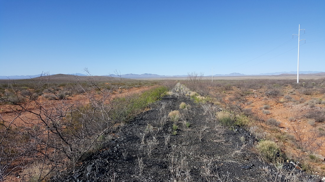
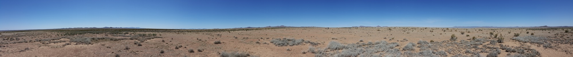
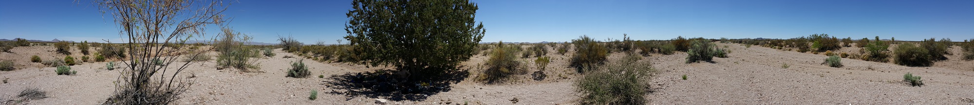
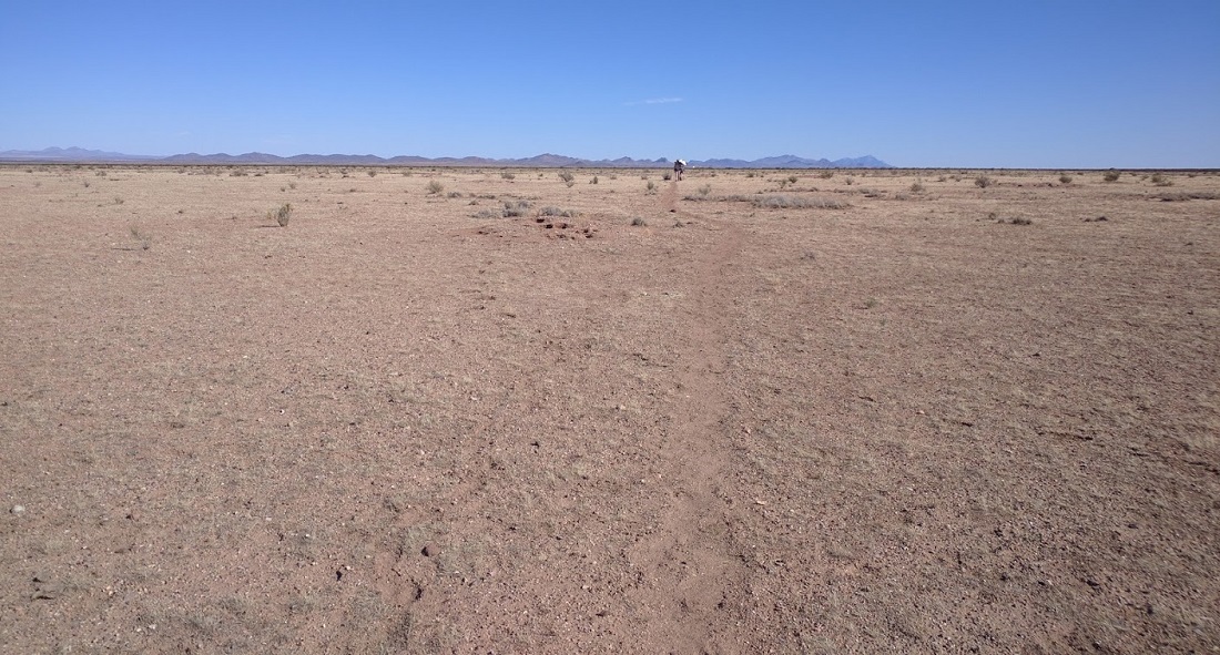
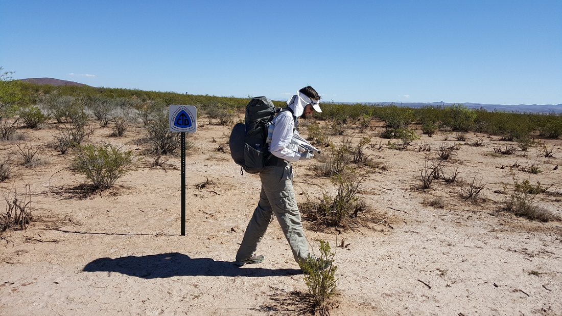
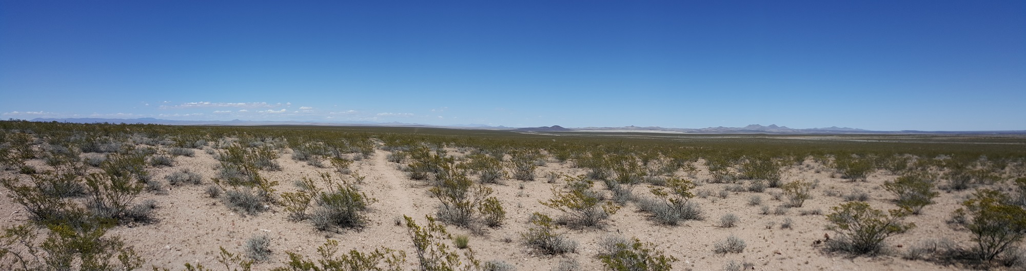
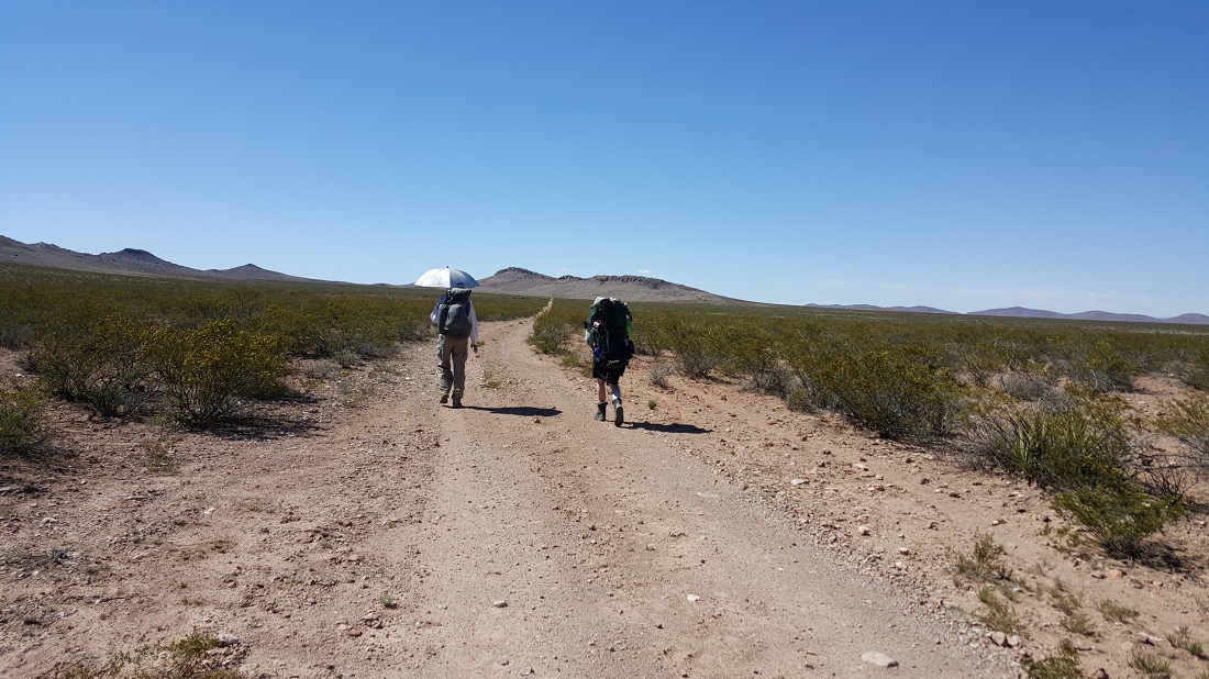
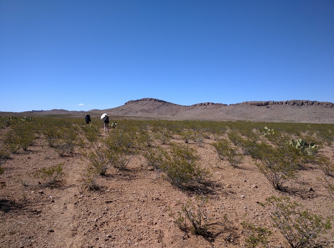
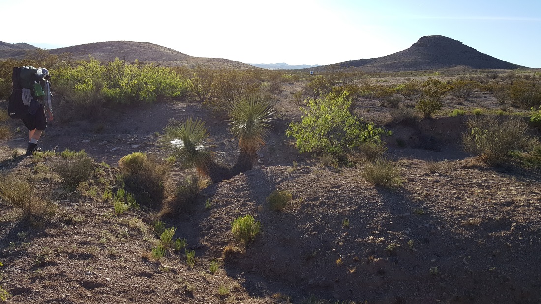
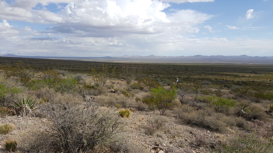
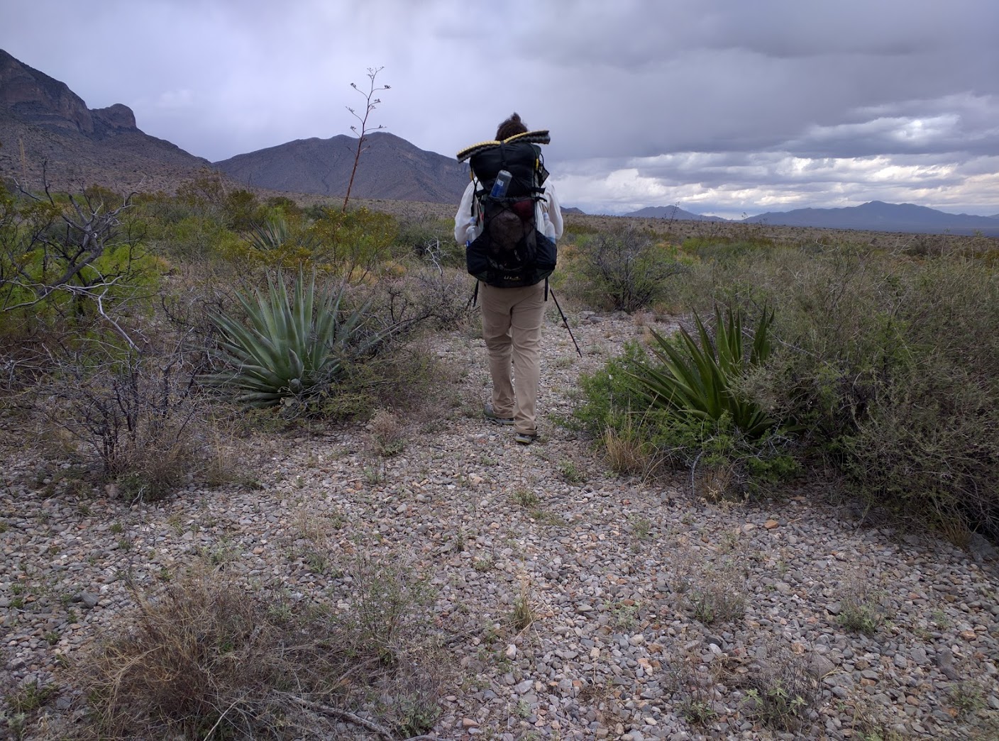
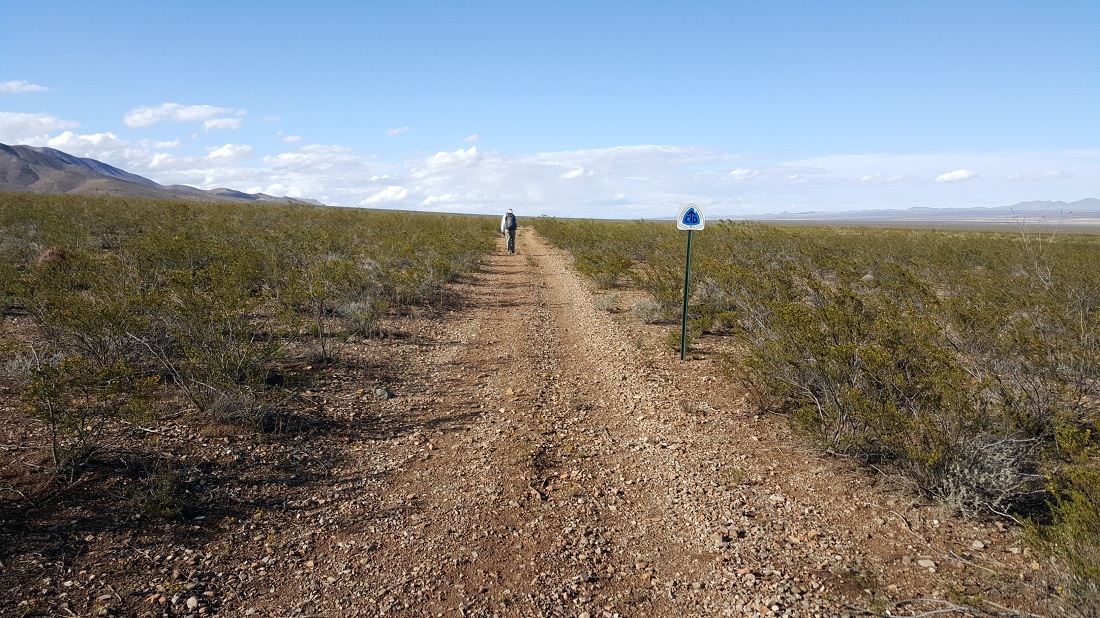
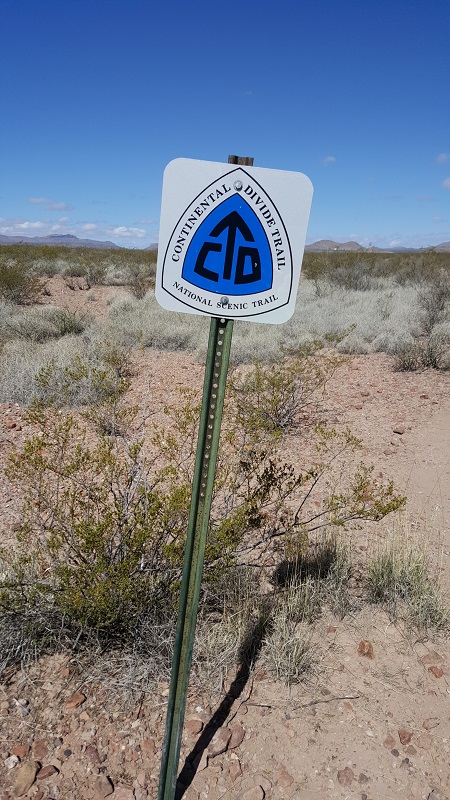
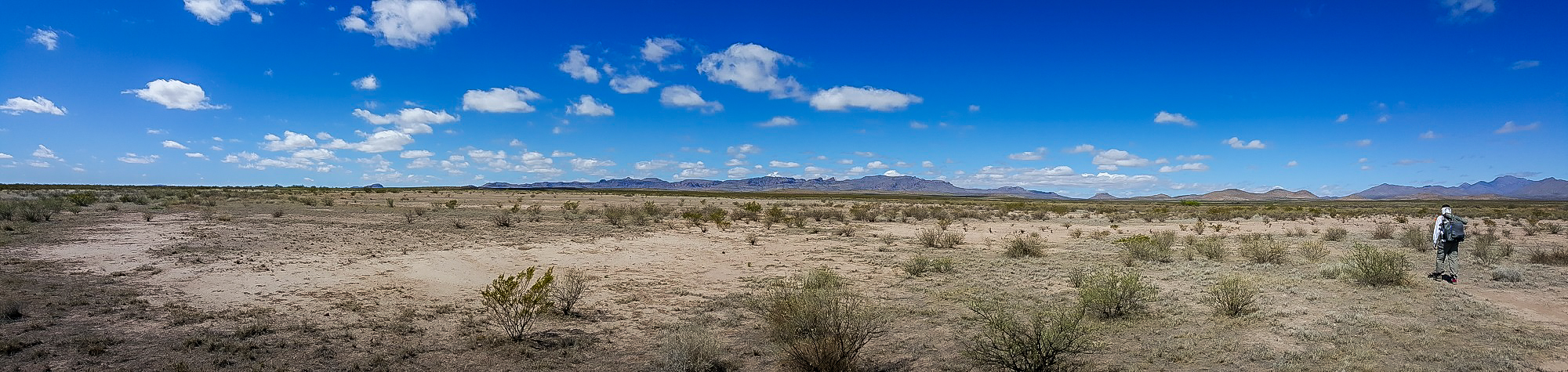
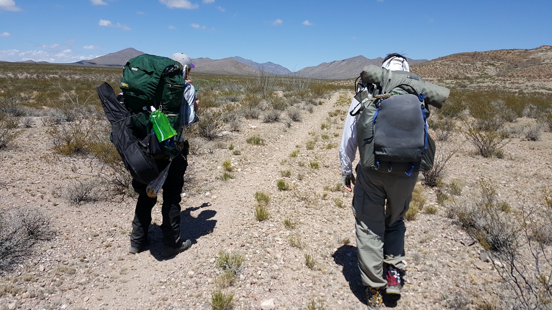
Today there was no proper path and the only dirt service roads we had were at the end of the day. (We would actually prefer to bushwhack over service roads, although the gullies are time-consuming.) It was odd and the miles were quite slow at first, as we went up and down small gullies throughout the day, searching for infrequent sign posts. Frequently we had to rely on navigational aids. There simply was no trail.
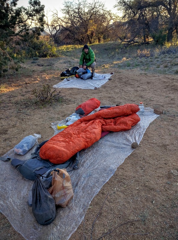
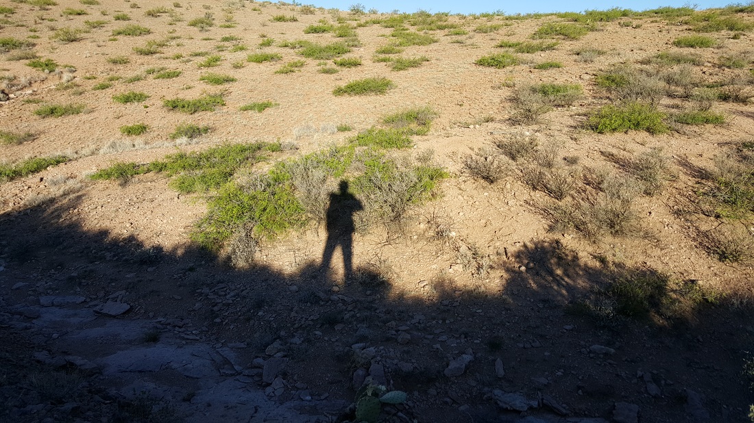
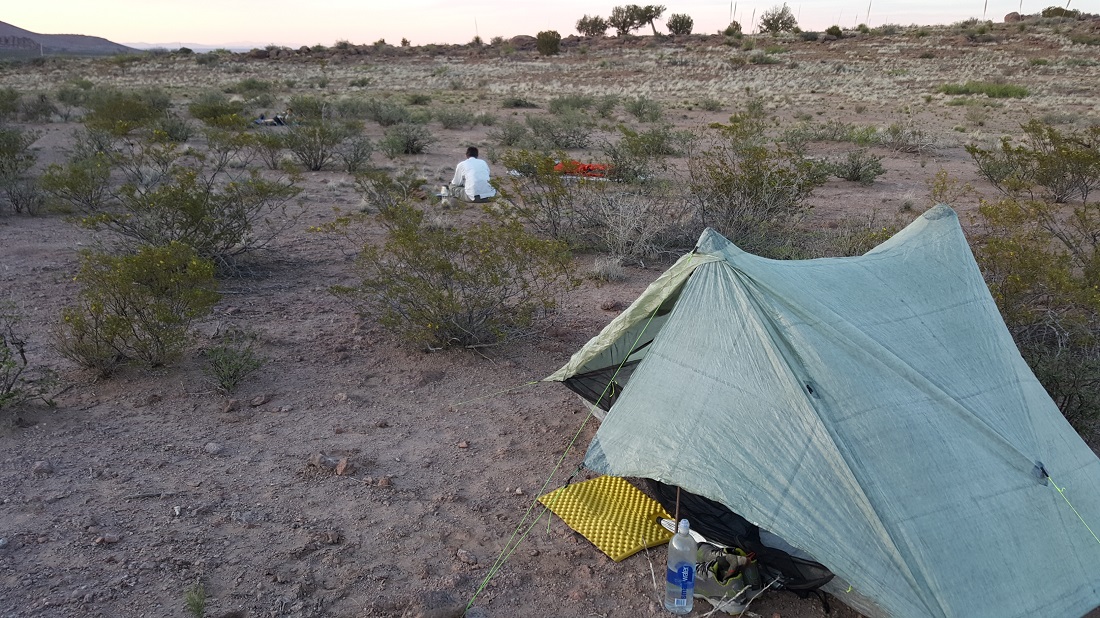
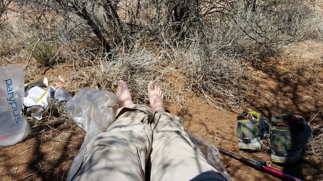
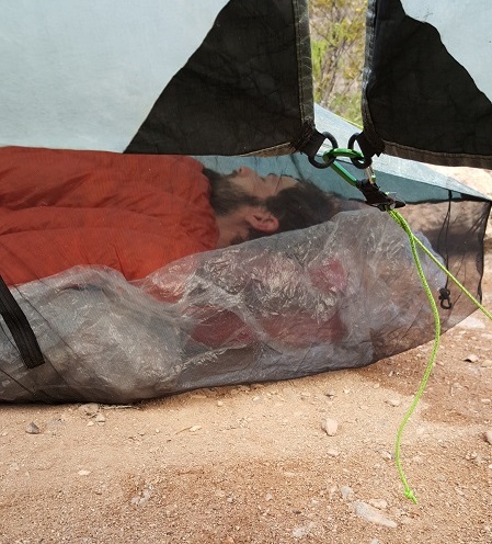
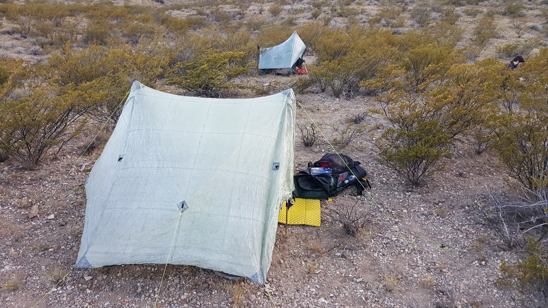
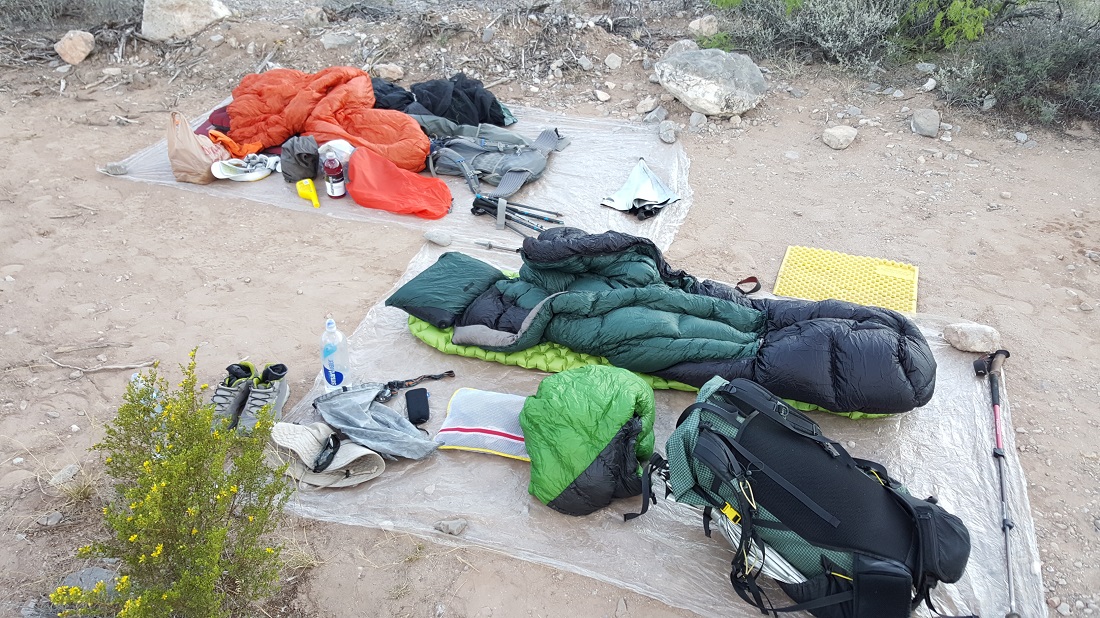
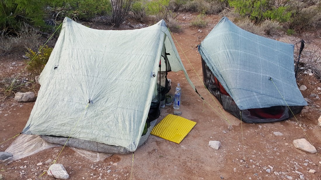
As you can see, our ultralight shelters don’t provide much in the way of privacy.
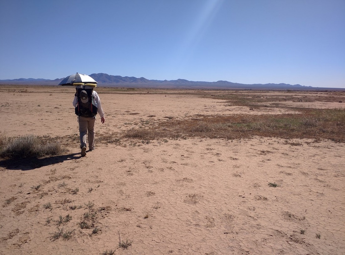
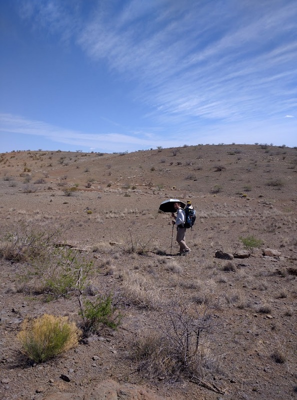
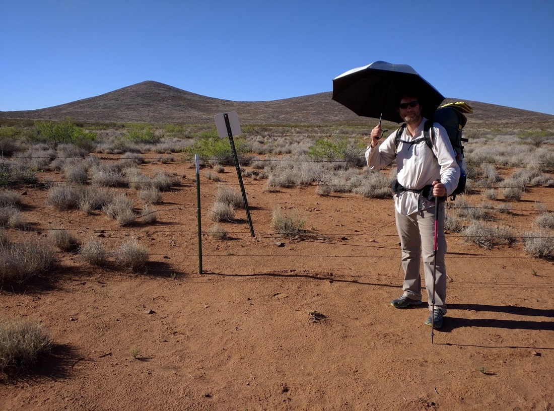
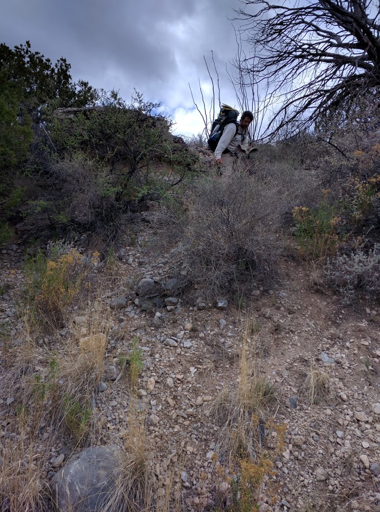
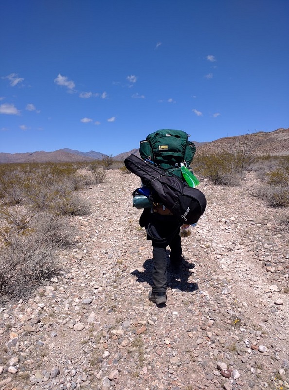
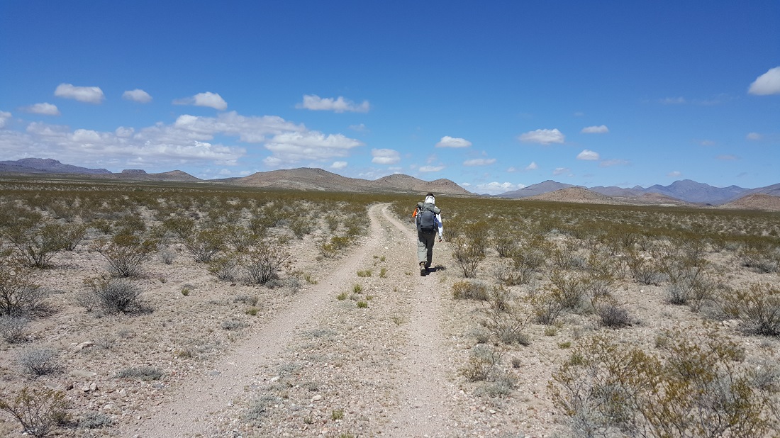
Yours truly descending a small gully. Photo courtesy of Six-2.
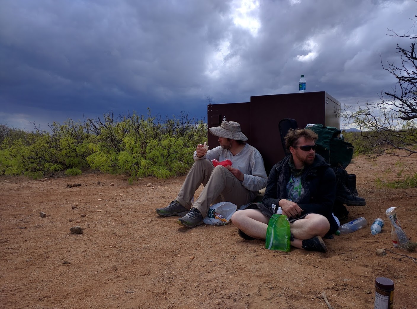
We ate lunch at the 2nd water cache of the week. The shadow cast by these cache boxes often provided the only respite from the Sun. Today was an exception, hah!
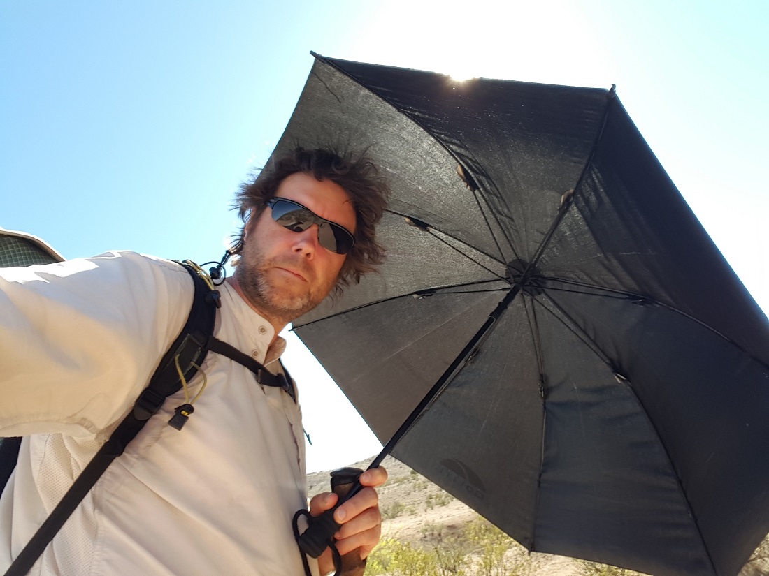
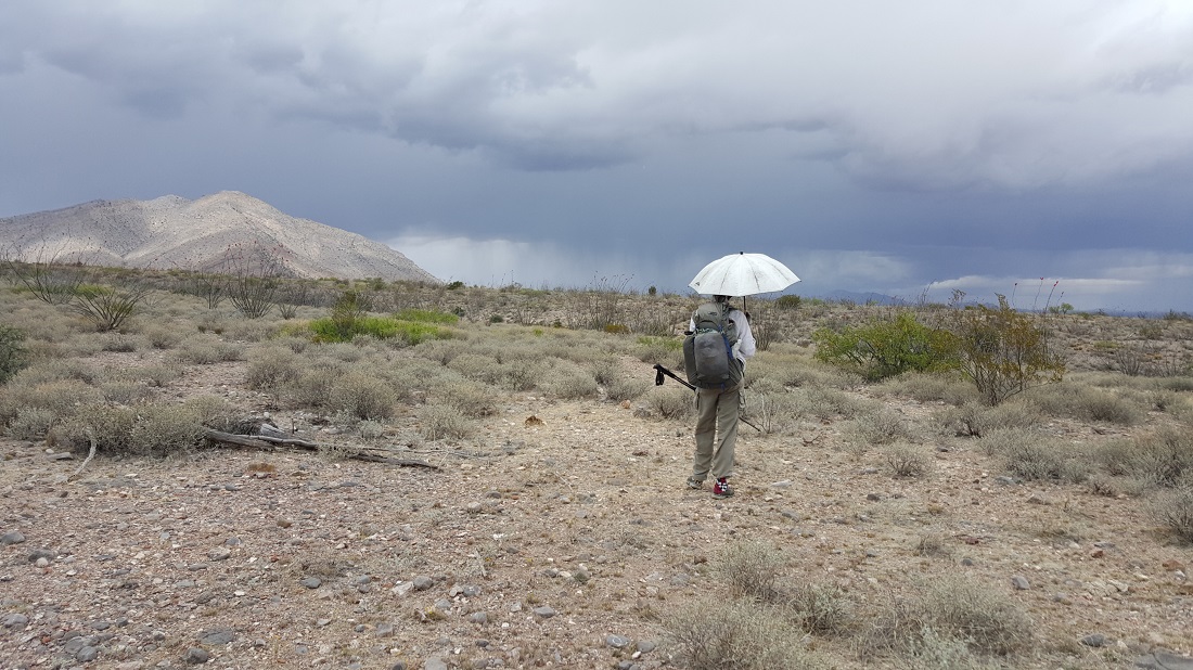
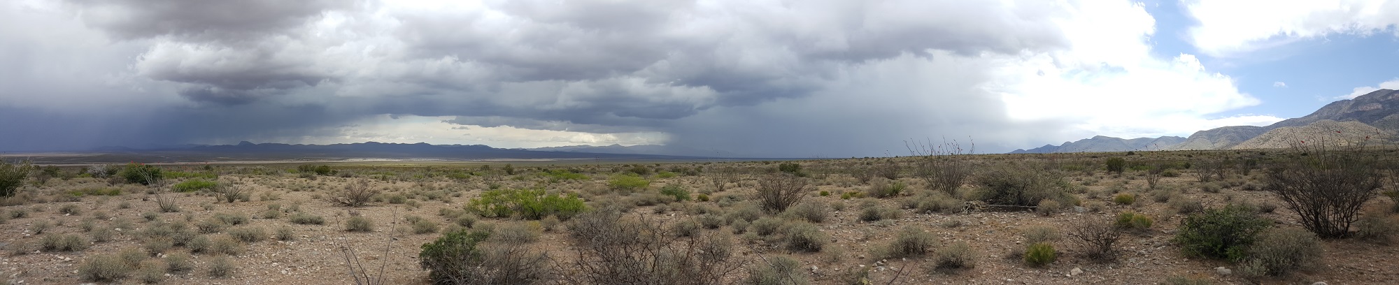
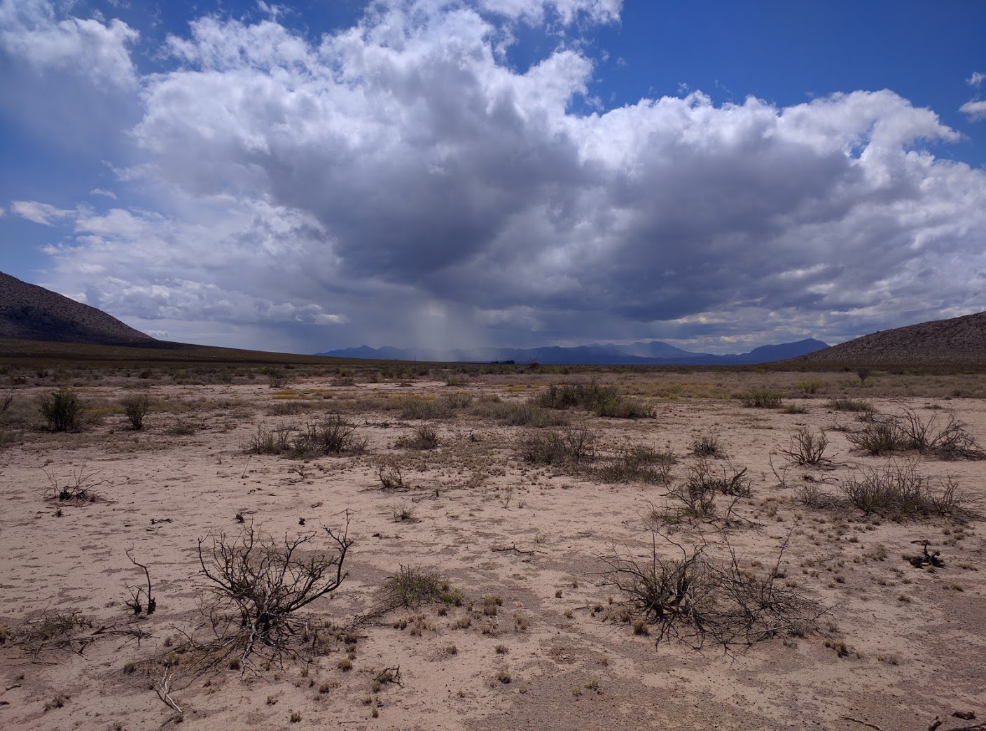
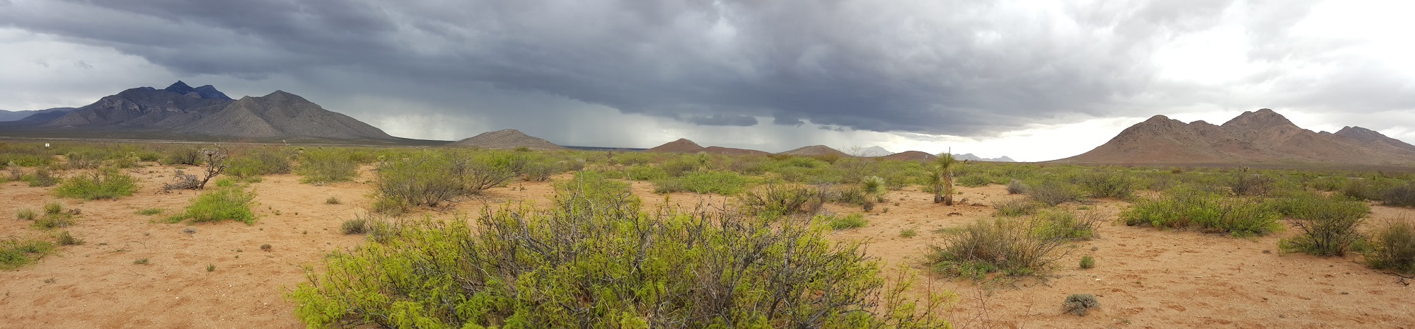
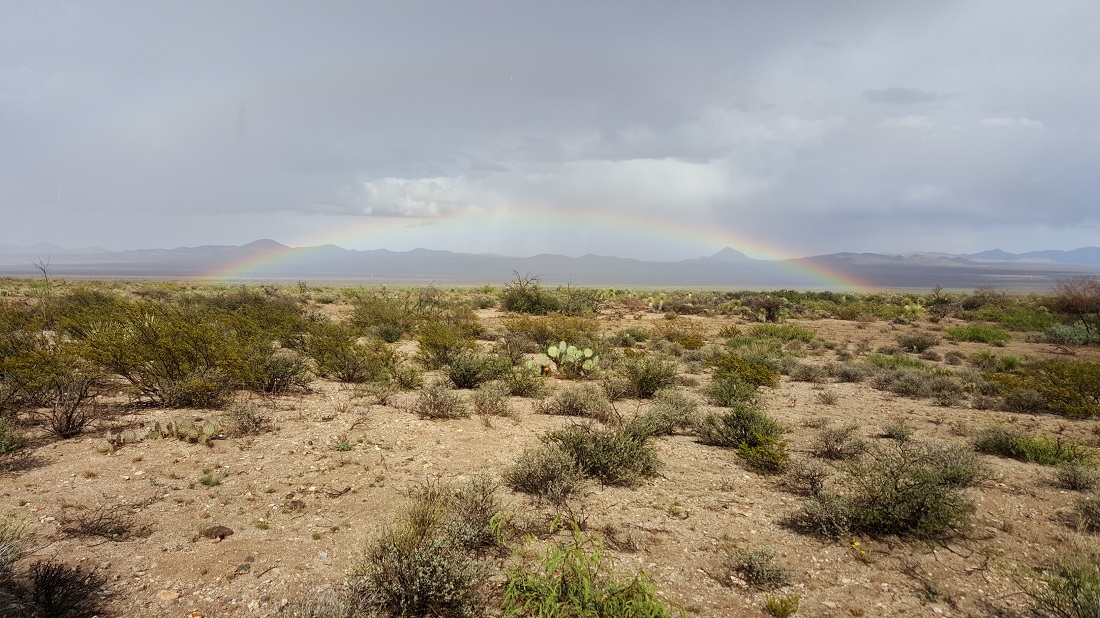
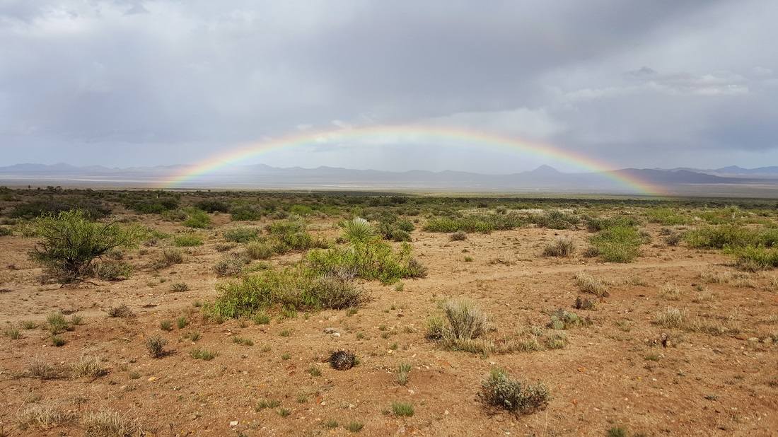
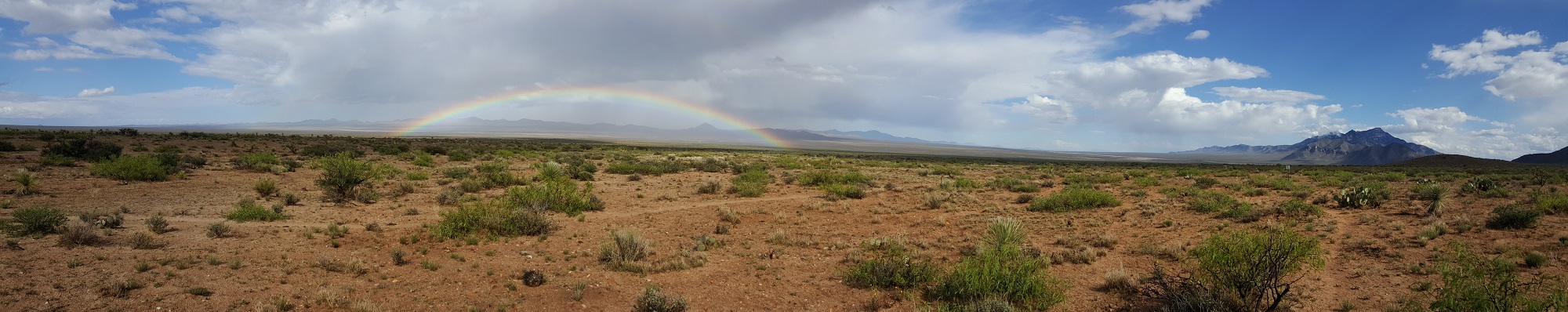
We could tell that inclement weather was coming, and could even see lightning in the far-off distance. We pushed hard to avoid it, but got caught in a heavy hail storm for 15 minutes. At the time, I was miffed to be so wet and cold, but funny how just two days later on trail, I was wishing for another hail storm. It’s also the first time that we’ve ever had our umbrellas out for hail/rain and then just kept it up because the transition to sun/heat was so fast.
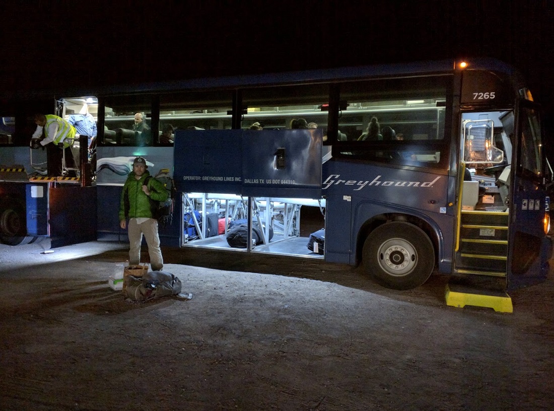
We rode two Greyhounds throughout the night and kept vigil over the El Paso bus station.
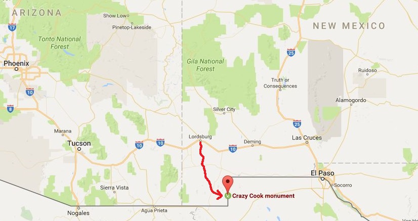
After barely making the 6:15 AM shuttle, we rode for another 4 hours to the US/Mexico border. They charged $120 each, which I think is fair, given that they also manage 5 water caches along the first 5 days of hiking, and round trip entails 8 hours of driving. It also required a raised rig to manage the washed out road.
The drive down was quite slow at times due to the conditions of the dirt road. We saw abandoned cars that were pointing north. Our driver, Juan, was quite a character, full of stories of a life thoroughly lived. He had choice words to say about one of America’s up and coming political candidates, boasting that pinata effigies of him were available in every border town. This gives you some sense of the road.
Fatigue from the sleepless night before hit me a little during this time, and relief that we’d made the shuttle. I sat next to a young guy from Montana who was wearing denim jeans and four or so layers of flannel/cotton. Far be it from me to judge, as I’m not the most experienced guy on the block, but inside I found myself thinking, “Huh…denim jeans in the desert? Hmmm.”
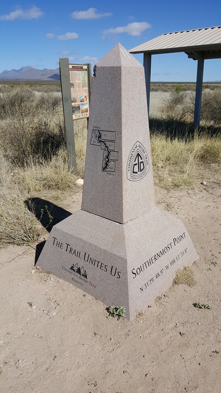
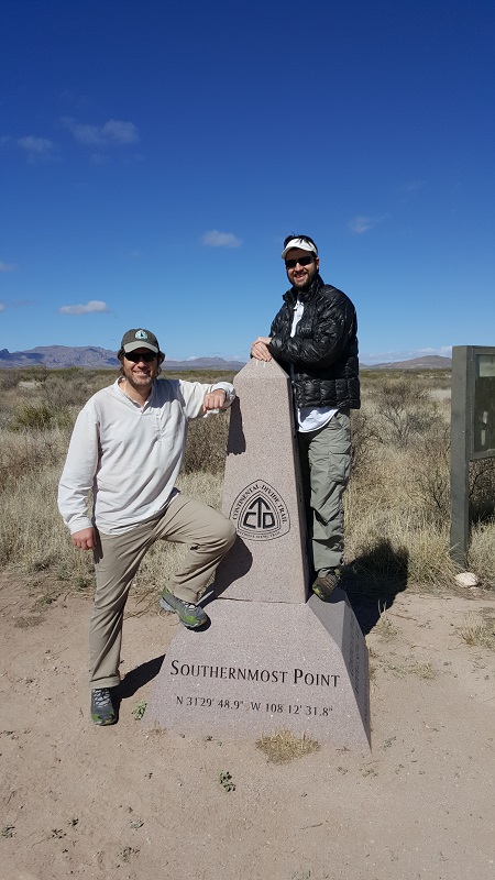
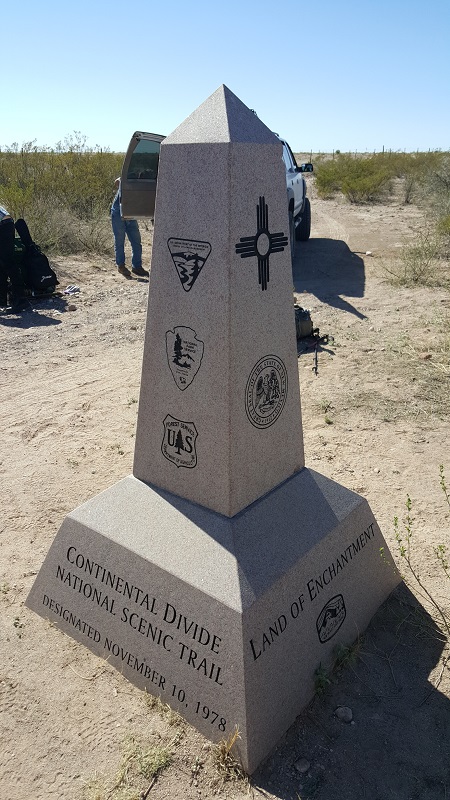
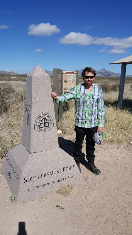
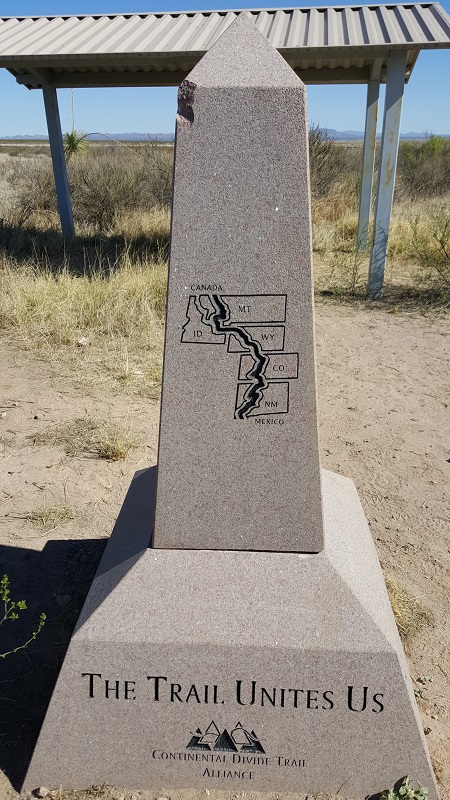
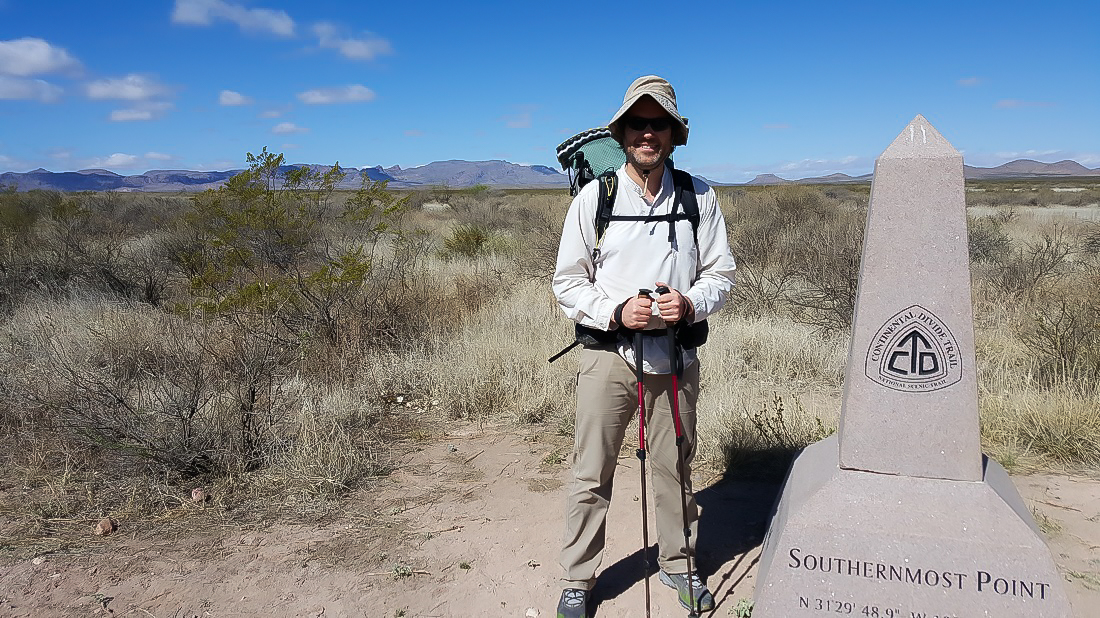
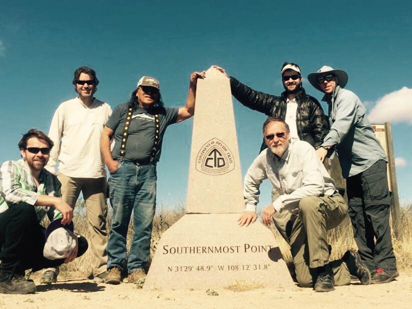
We reached the Crazy Cook monument around 10:15. It honors a guy who was killed in cold blood in 1907 by a cook with an axe while (ironically enough) working on a fence between the two countries. It wasn’t a very good fence.
Six-2 doing the obligatory step into Mexico. The days of this are probably behind us all.
Honestly, you wouldn’t know it was a border. It just felt like a nondescript cattle fence and a road. (I’m not advocating for a wall, just saying there isn’t much of anything there.) Way off in the distance on the Mexico side, you could see a Mennonite compound, which is rumored to produce cheese from goats milk. We were told the government uses seismic monitoring devices to track movement in the area, but who knows. We certainly saw our share of helicopters over the coming days.
Our new friend from Montana.
(left to right) Jasmine, Husk, Juan (our driver), Garageman, Six-2 and Ben.
The 5 of us were more or less in the same vicinity with each other throughout the day. The young guy from Montana didn’t yet have a trail name, and after staring at the Jasmine logo on the guitar that he carried, it wasn’t long before we started naturally calling him Jasmine, hehe. It was done mostly in jest but after awhile, it did kinda stick. 🙂
Jasmine’s story is a powerful one. He began hiking this day with suboptimal gear, mostly because it was heavy. The longest hike he had ever previously done was 20 miles. The previous season, he had met a hiker going through his hometown in Montana and his interest was piqued by this epic journey, and so he just decided to do it.
He used a backpack from the 70s that he bought at a garage sale for $1. He carried a guitar which he didn’t yet know how to play. He intended to learn at night, sitting around the fire. (The thing about distance hiking is that there is never enough time to sit around and learn an instrument, imo.) He didn’t have a GPS-capable device. He didn’t own a foam or air mattress. But despite these challenges, he had grit and tenacity, and always seemed happy and at peace.
UPDATE: Spoiler-alert: He would go on to find odd jobs in most of the trail towns that the CDT passed through to pay for his journey, and he successfully made it 2,400 miles all the way back to Butte, Montana! Unfortunately, in mid-September, his pack was stolen at a film festival. He tried to cobble together gear to finish the trail but had to punt to some future season. (It also sounded like the snows had already come and hiking through Glacier National Park was probably no longer in the cards.)
Photo courtesy of Six-2.
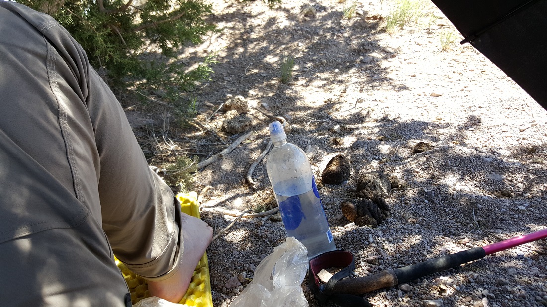
Fortunately, we did not need to filter and treat this water. We carried enough liters to reach the main water cache later in the day.
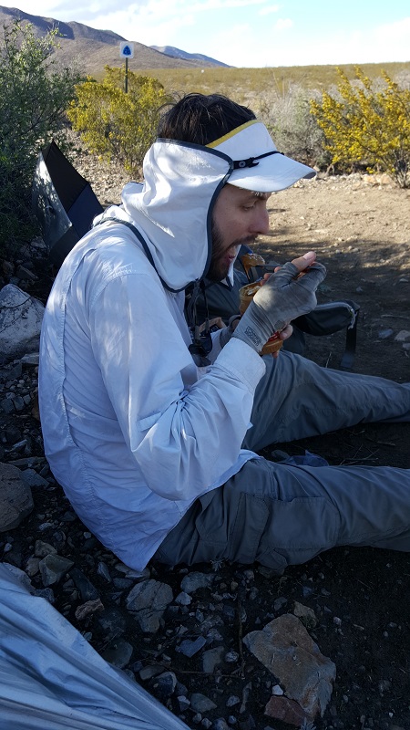
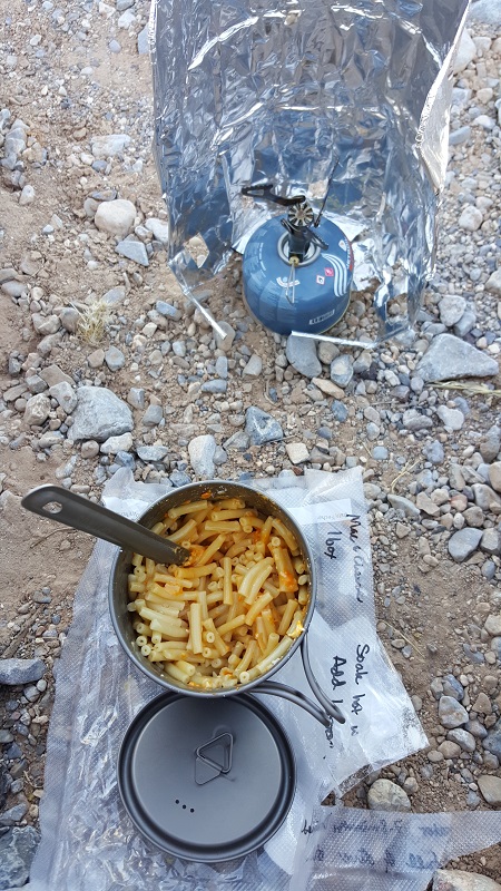
Precooked and dehydrated Kraft mac-and-cheese. I realized it takes far less fuel if the noodles have been previously cooked at home first…you can get by with two cups of boiling water without simmering. Also pleased to be trying out my lighter cookware: 3.8 oz pot and a .9 oz stove.
We ended at the first water cache, which was something like 14 miles. Under ordinary circumstances, we could have easily hiked more, but having had zero sleep the night before due to Greyhound’s transit mess, I was ready to drop. I think I was in bed at 8 or 8:30, and fast asleep despite the last throes of the sunset.
However, it was another eventful night. At 11:30, I woke up with Six-2’s headlamp on my face and him in a flurry of activity. “I’ve been watching the clouds, I think it’s gonna rain.” He was about 4 minutes ahead of me in setting up his tent. His solemnity got through to me, and I scrambled to set mine up as well as the first drops began landing. No sooner had I gotten my tent pitched and my gear in then the sky unloaded on us. I had a sense of smugness that all that protected me from the elements was a thin layer of composite plastics…and that all was ok again.
We went to bed with the setup above (cowboy camping), but our midnight scramble to get shelters up turned it into this.
We met Six-2 in Albuquerque, were he’d previously lived for six years. It was fun to visit his old haunts, including a Lebanese auto maintenance garage that doubled as a restaurant. Like a quikimart with a couple of booths inside. The food was delicious.
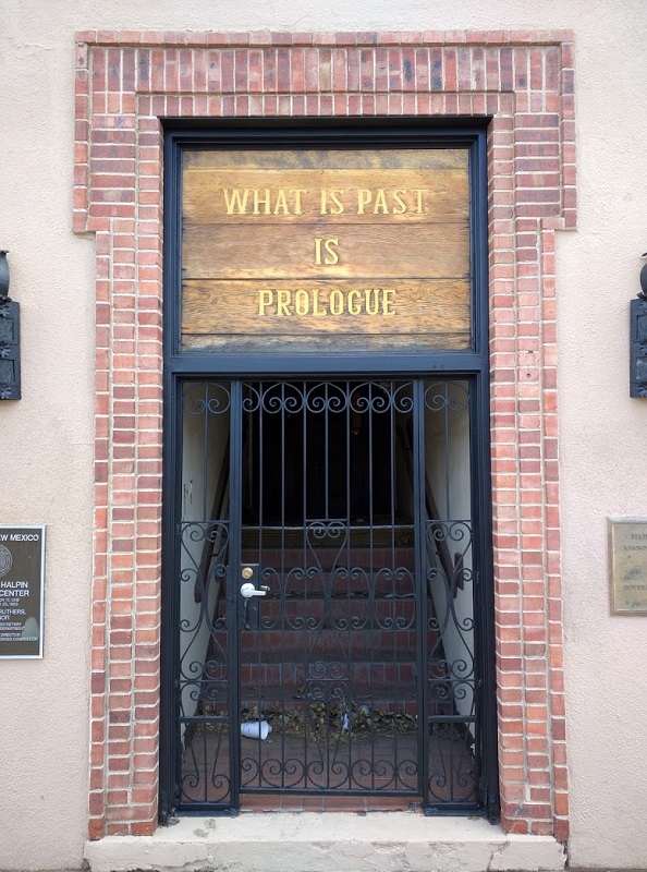
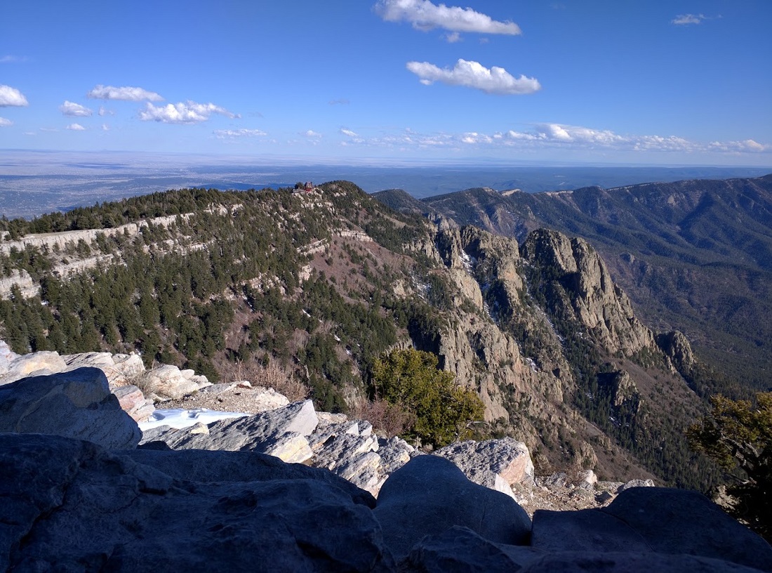
We took a cable car up the local mountain range, and even briefly made it to Santa Fe, where we enjoyed even more tasty New Mexican food. Briefly stuck my head in George Martin’s cinema, which was fun to see. Also saw a nondescript doorway (not below) which was the portal for all employees to reach Los Alamos during the war years.
In Albuquerque, Six-2 and I boarded a Greyhound bus, which was supposed to take us to Las Cruces, where we’d catch a connecting bus to Lordsburg. Unfortunately…it didn’t work out that way.
The bus dropped us off in the middle of nowhere, behind a gas station on the outskirts of Las Cruces. We’d missed our connecting bus by 5 minutes. They suggested we could wait until morning, but we implored him for a different solution. He agreed to take us further south to El Paso, on the US/Mexican border.
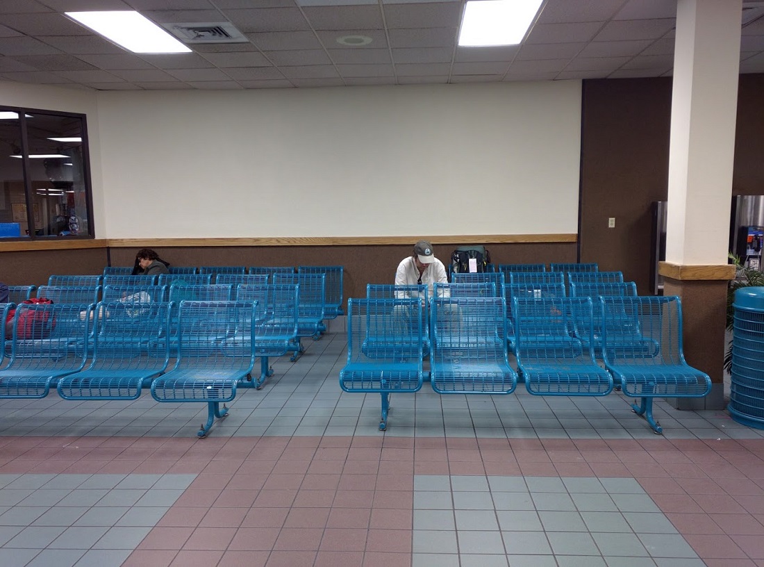
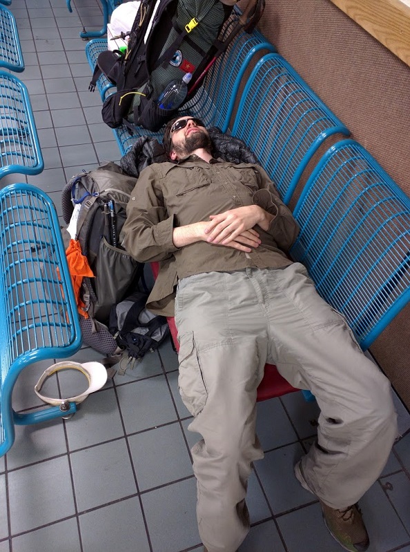
We spent about 4 hours in this waiting room, where the guard frisked and checked the carry-ons of everyone but us. He said just a week or two before, he’d seen a man shot behind the depot. I stayed awake, mostly due to lights and loud TVs.
Fortunately, the Econolodge in Lordsburg was sympathetic and allowed us to bump our reservation 5 days forward. We caught the connecting bus to Lordsburg and arrived at a gas station there at 5:45 AM. We were two miles from the Econolodge (where hikers are supposed to rally for the shuttle to the border), and we had 30 minutes to make it. We desperately sought a hitch from every car that came through and were lucky to soon get one with a man driving a utility truck. We made the shuttle with only minutes to spare.
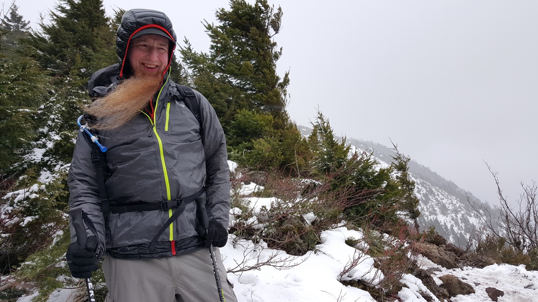
Undertaker and I attempted to summit Mailbox Peak, and we got oh-so-close, but the moment we got above the main timberline, the weather really took a turn for the worst. As the Undertaker said, “My fun factor went from an 8 to a 3.” I had terrible traction myself. We decided it was best to turn around about a 1/4-mile from the top.
We saw a small white toy dog on its own, just barking in the middle of the rock field below. Undertaker tried to reach it, but the dog didn’t want to be helped. During the long descent to the car, we heard from two male hikers that a woman was looking for her lost dog. We felt badly about the situation. Worse still, she was out there without a headlamp looking for it. We reached the parking lot in practically full darkness and were relieved when she and her dog (a tripod, no less) came bounding down the trail. She was using her cell phone flashlight and was nearly out of battery. She said she’d called friends and said to call the police if they don’t hear from her within the hour. Crazy stuff. Fortunately, it all ended happily.