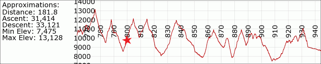
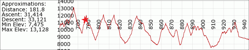
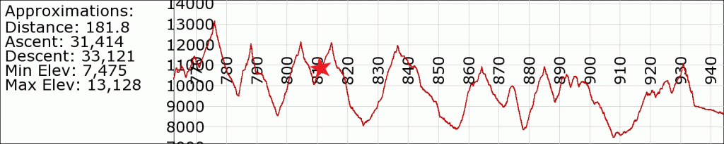
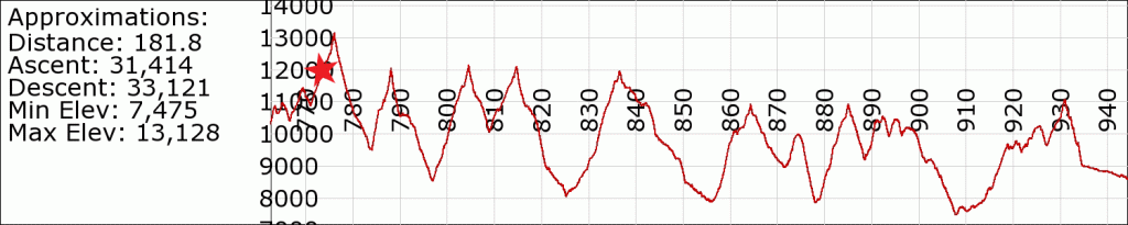
Day 62: Pinchot Pass

June 15th
Total mileage: 811
Today’s mileage: 11
PCT-Section-H_811

Another frustrating long day with low mileage. first serious mosquitoes. We heard there was a bear sighting on the north side of the wooden bridge we crossed, but were lucky enough to not see one. Here is a video demonstrating the bridge limit, hehe. At night, we had our 2nd campfire of the trail! I read a short story for friends.


Day 61: Glen Pass

June 14th
PCT mile: 800
today’s mileage: 11 (?)
PCT-Section-H_800

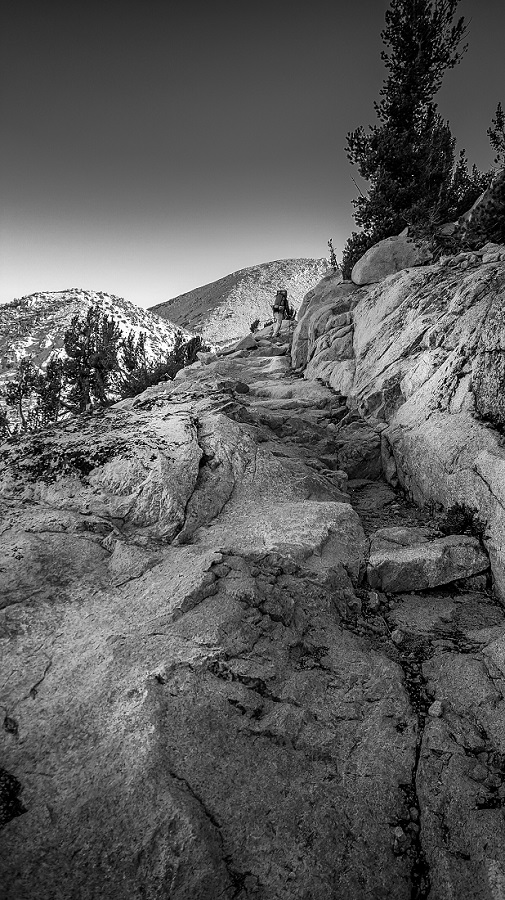
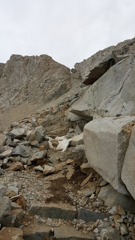
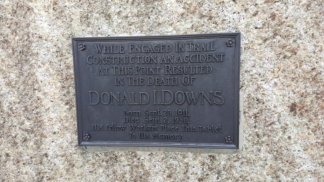
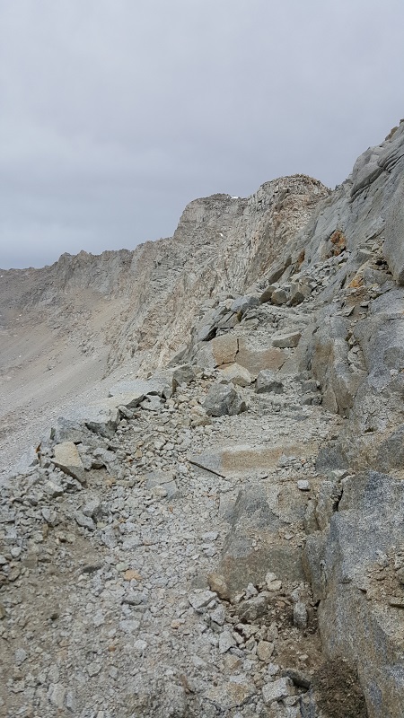
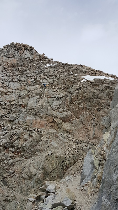
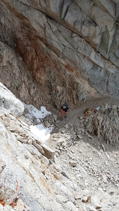
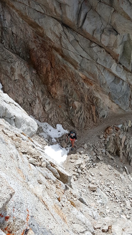
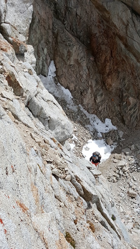
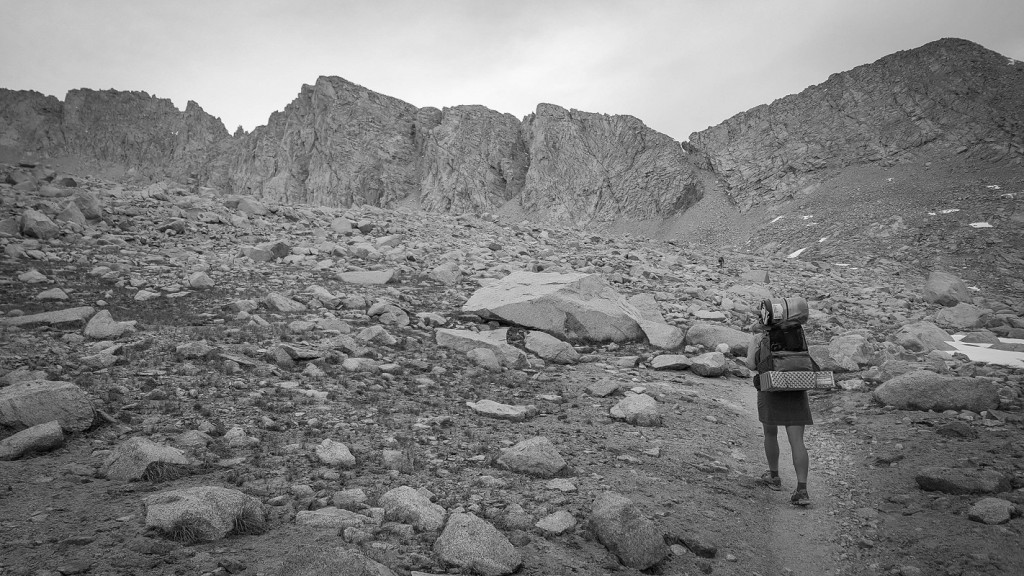
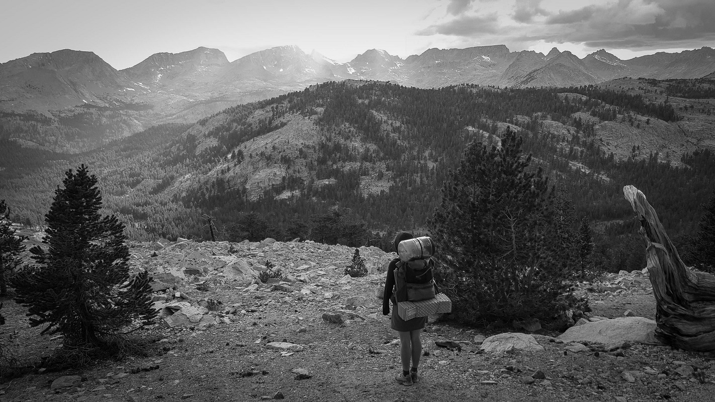
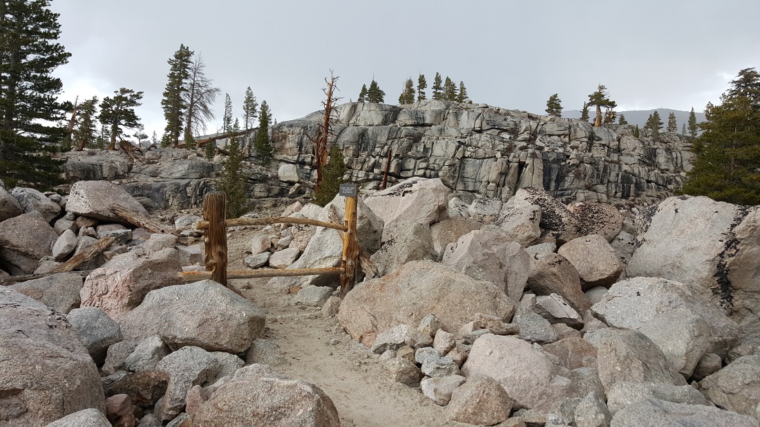
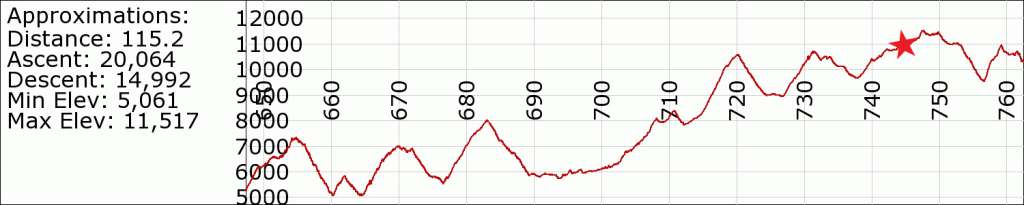
Frustratingly slow today, and we’re buckling beneath the weight of our packs. Yogi’s guide says that Glen Pass is the most dangerous. It was fine. Must be much worse in serious snow. It is strange and a bit intimidating to be so far now in the backcountry. I think we saw only a single other hiker during our entire ascent and descent of the pass.

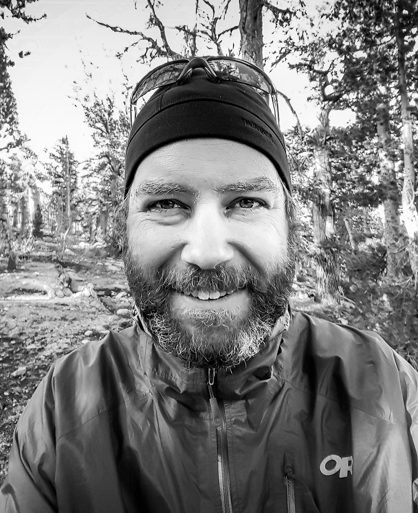
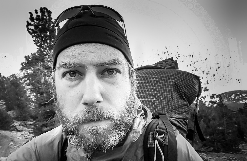
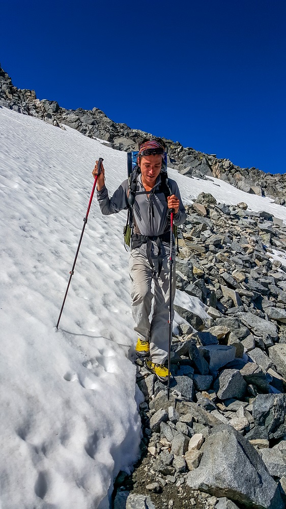
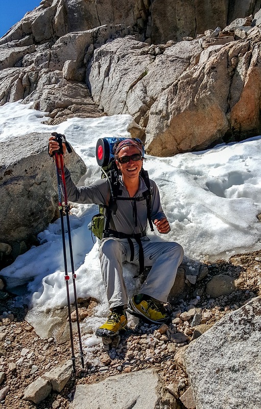
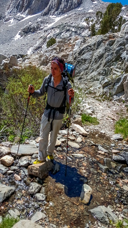
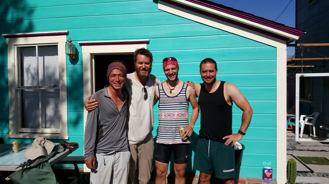
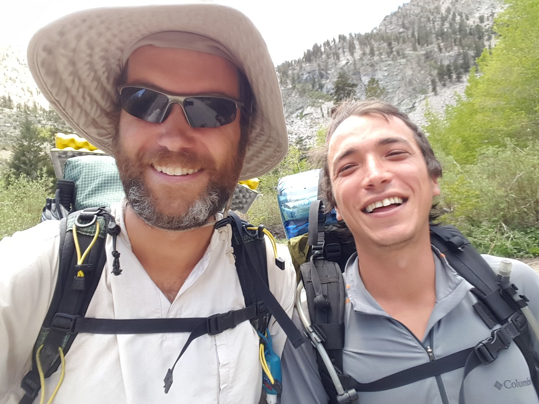
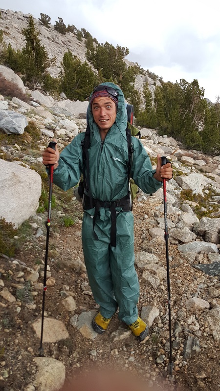
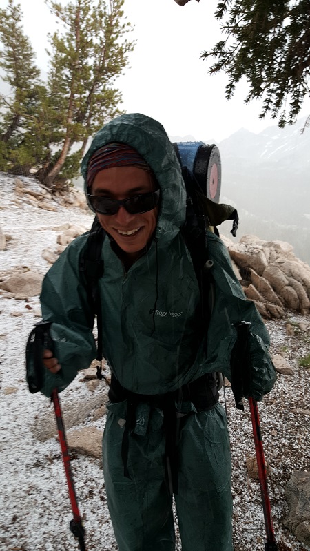
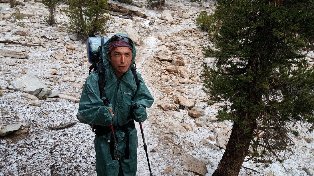
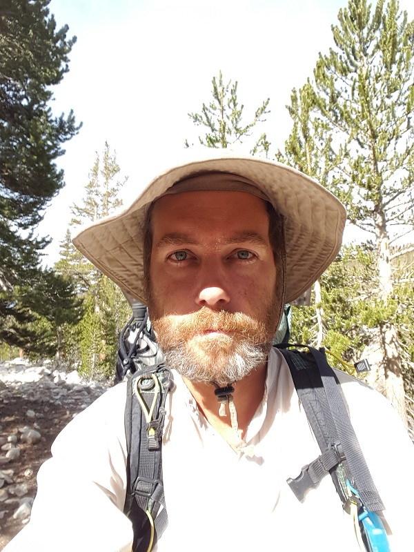
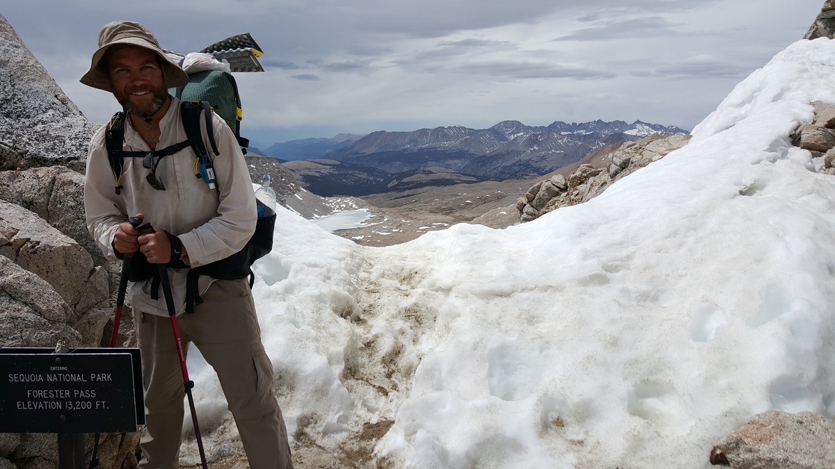
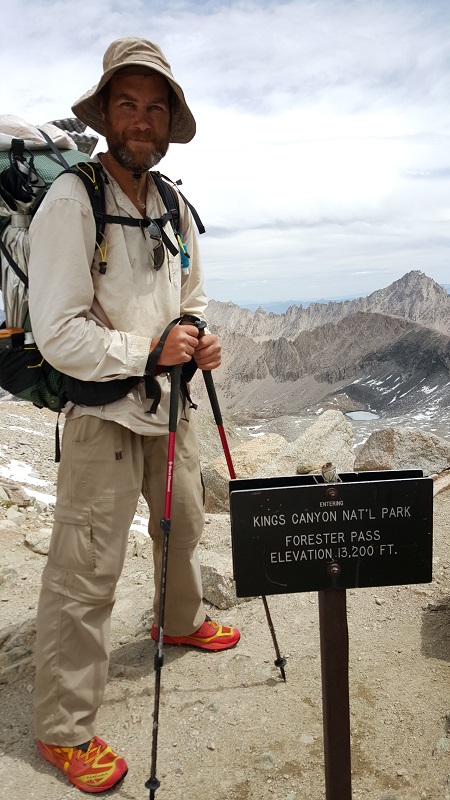
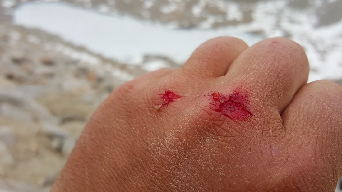
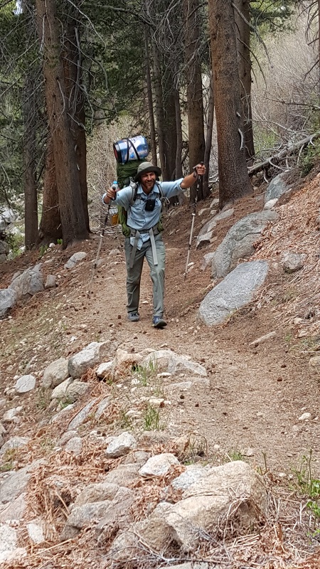
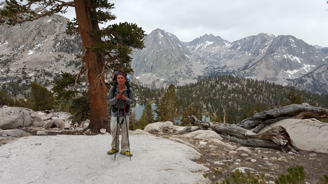
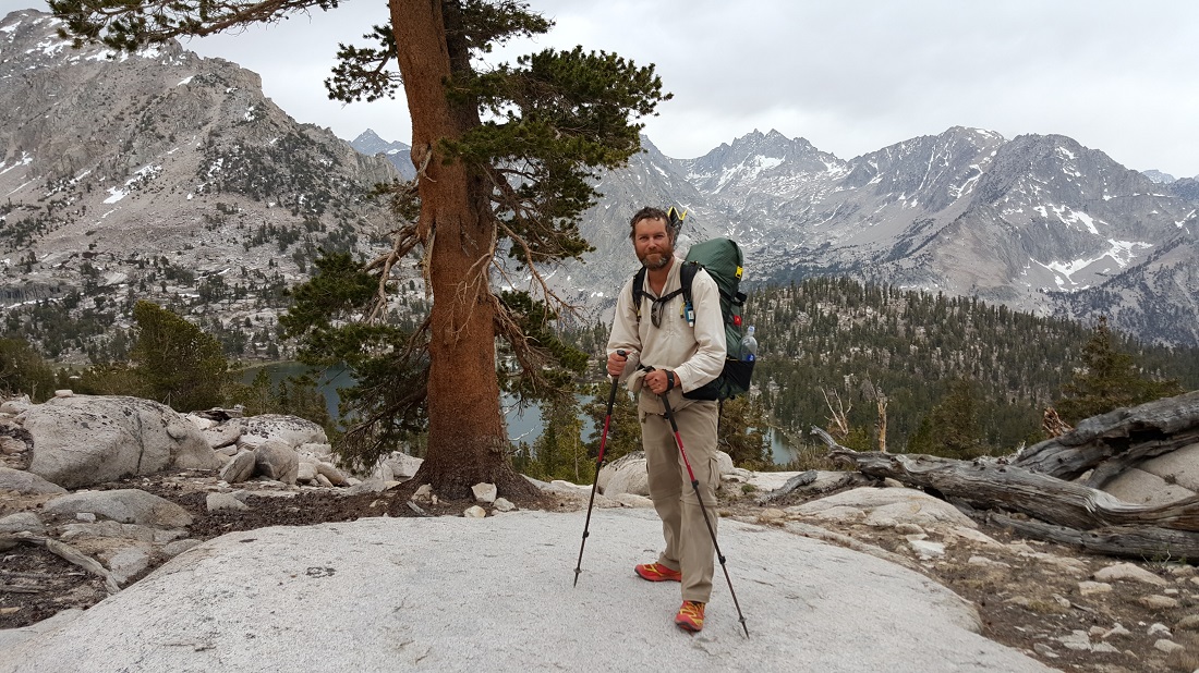
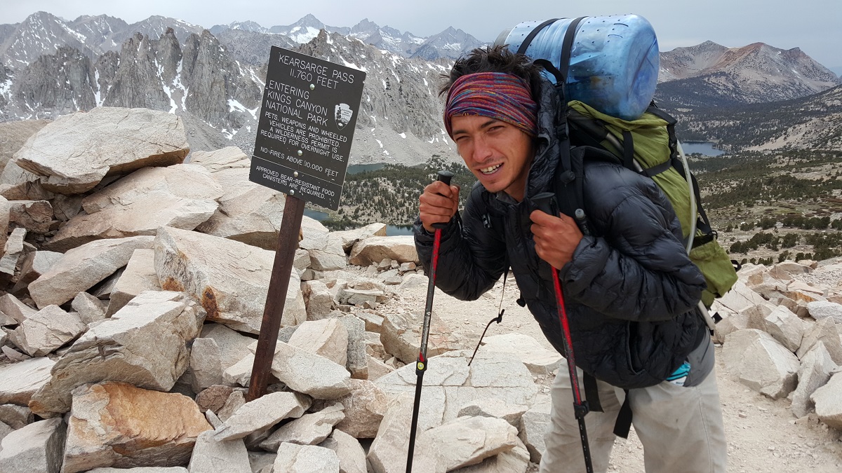
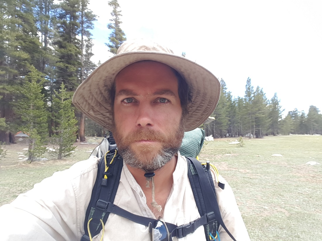
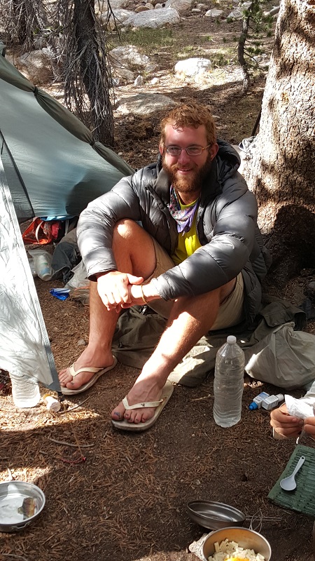
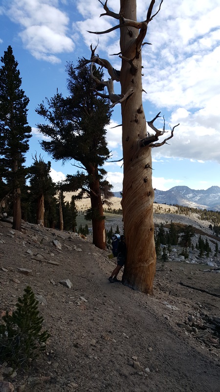
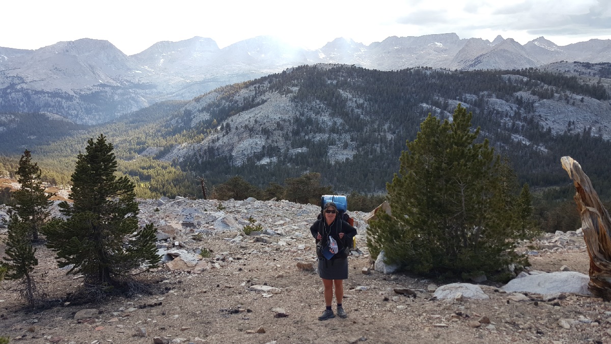
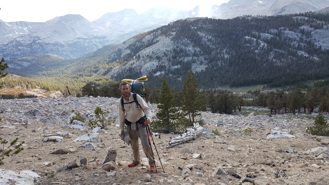
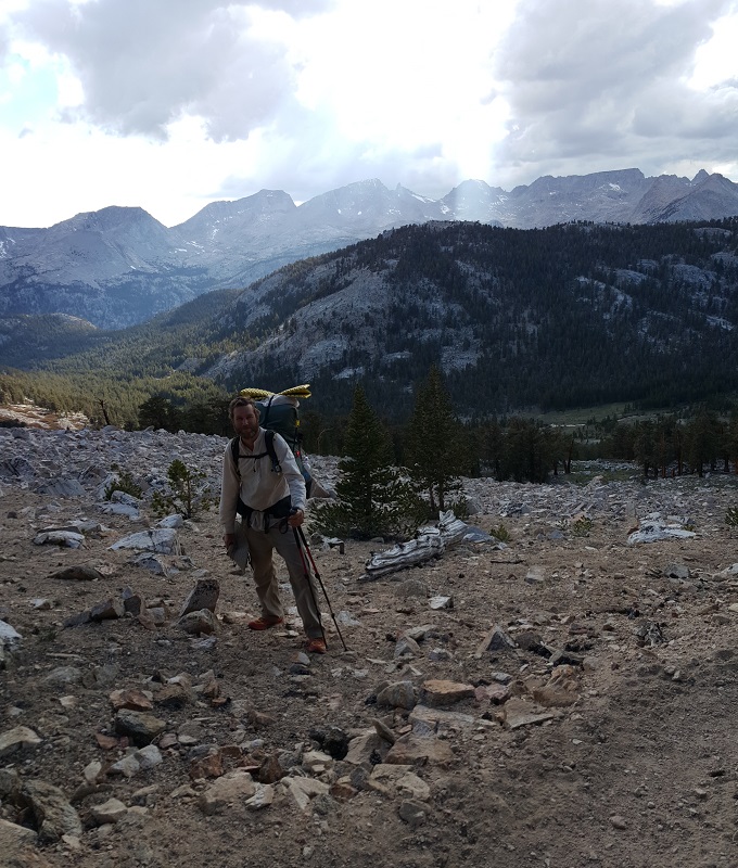
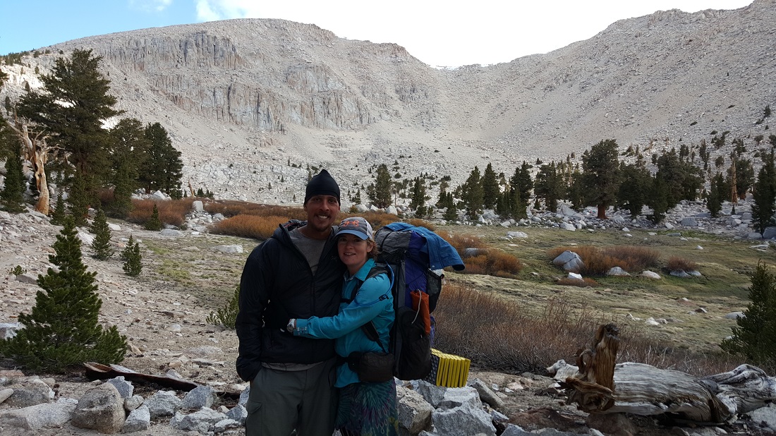
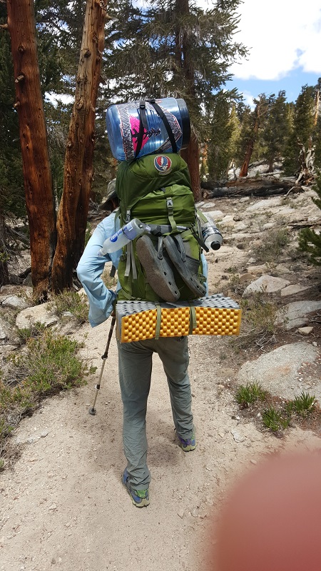
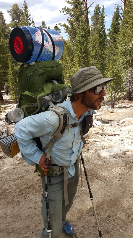
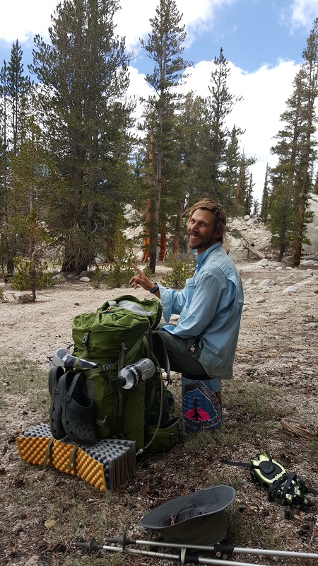
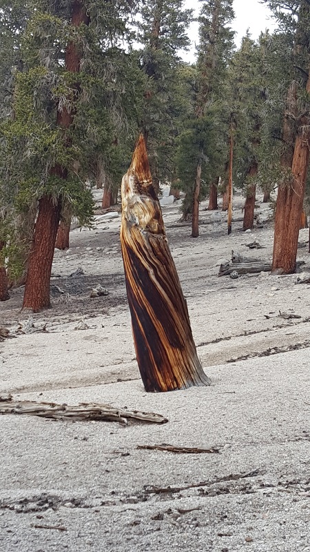
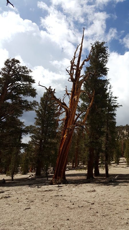
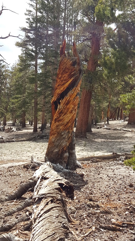
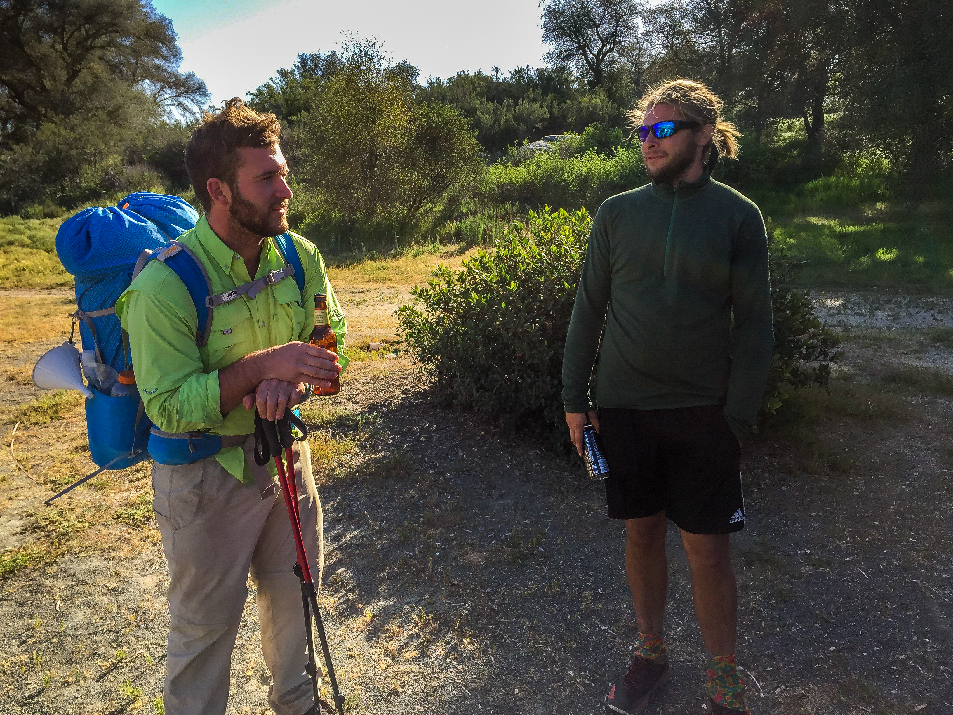
A couple of portraits, in case the day got the best of me.

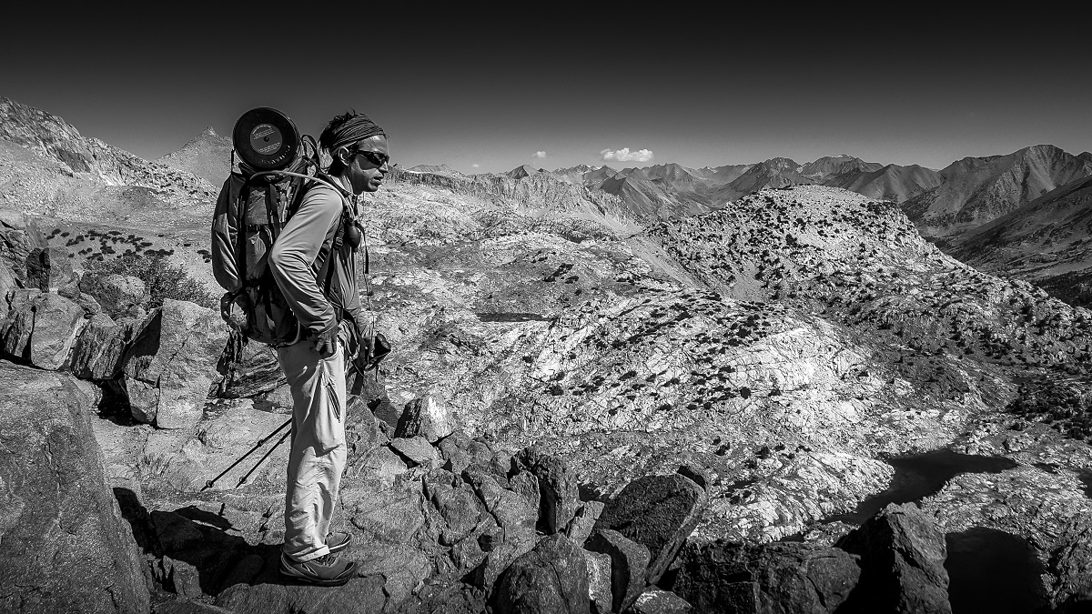
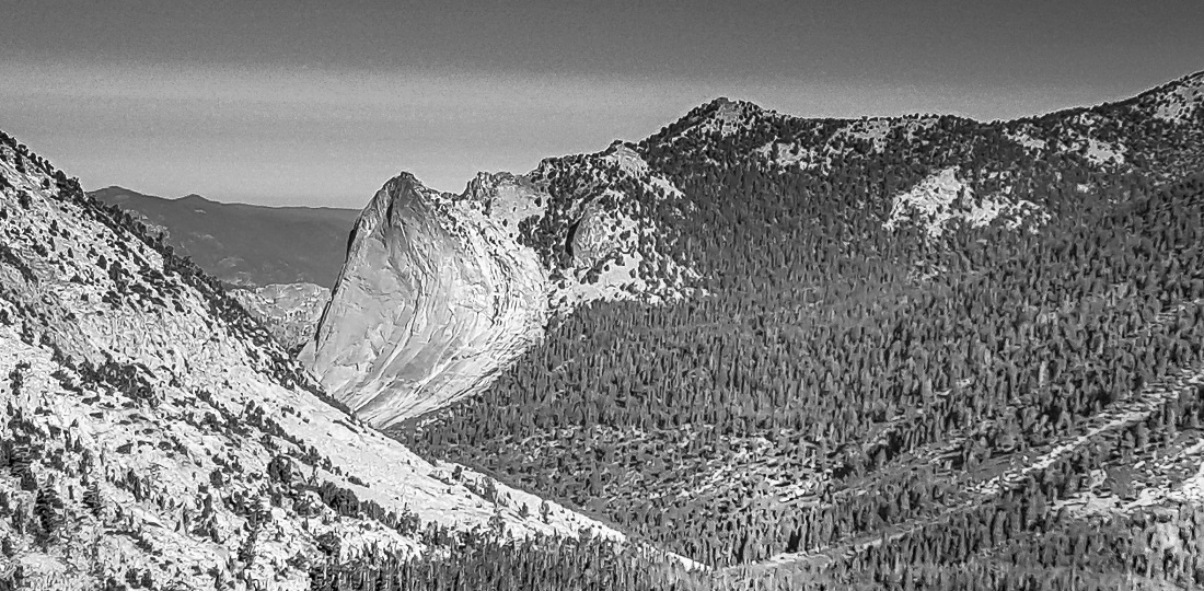
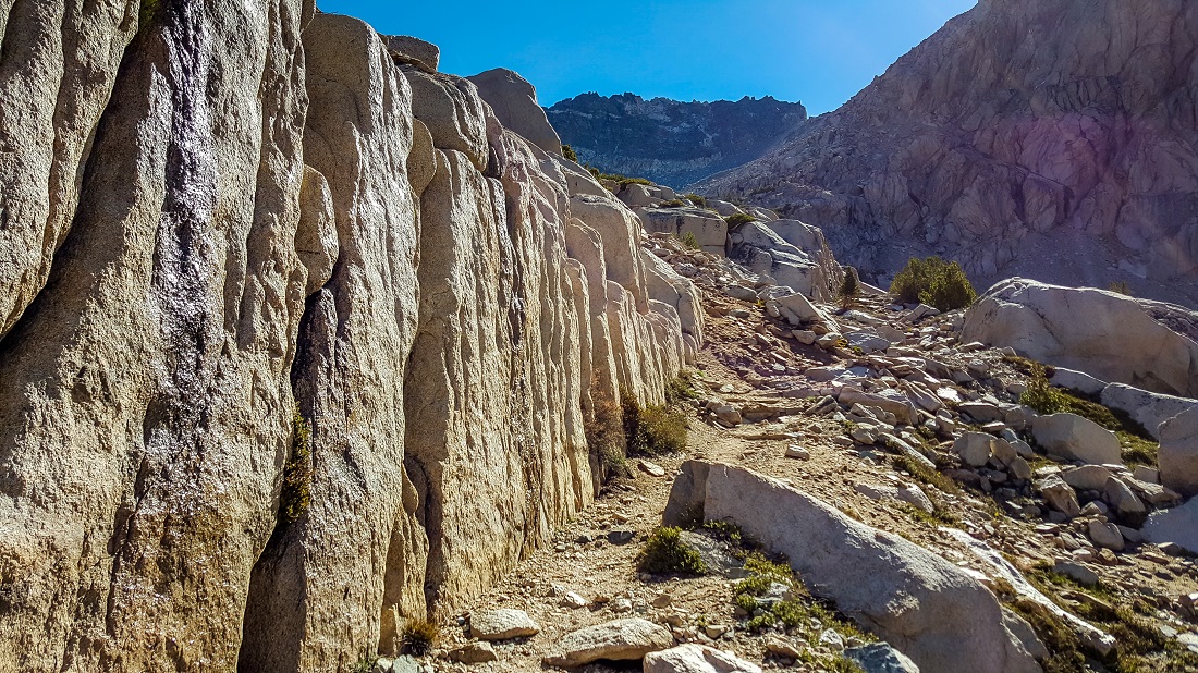
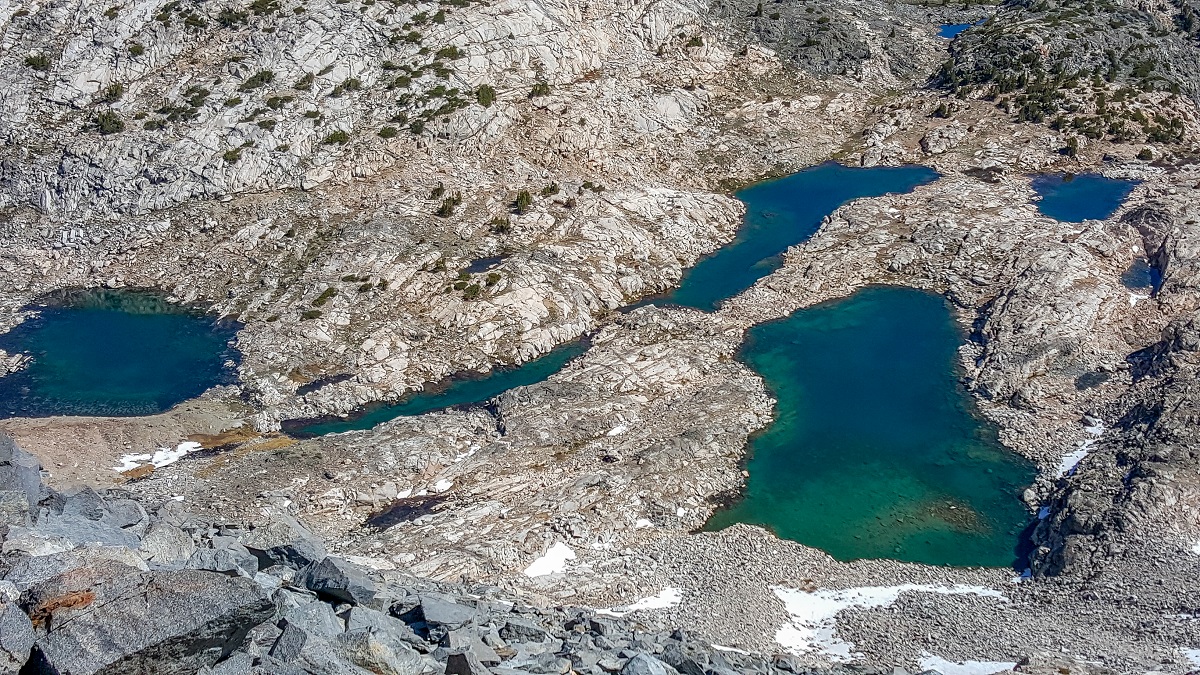
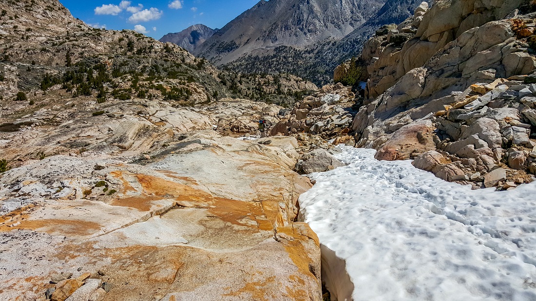
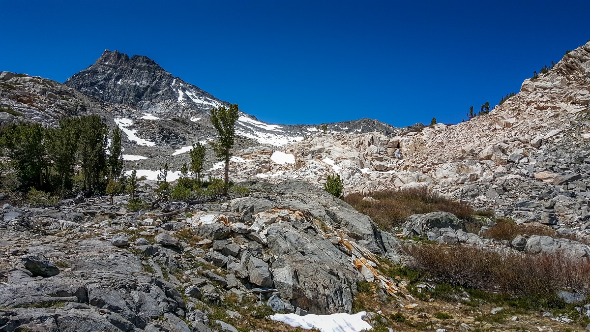
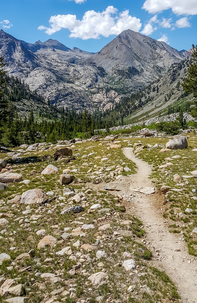
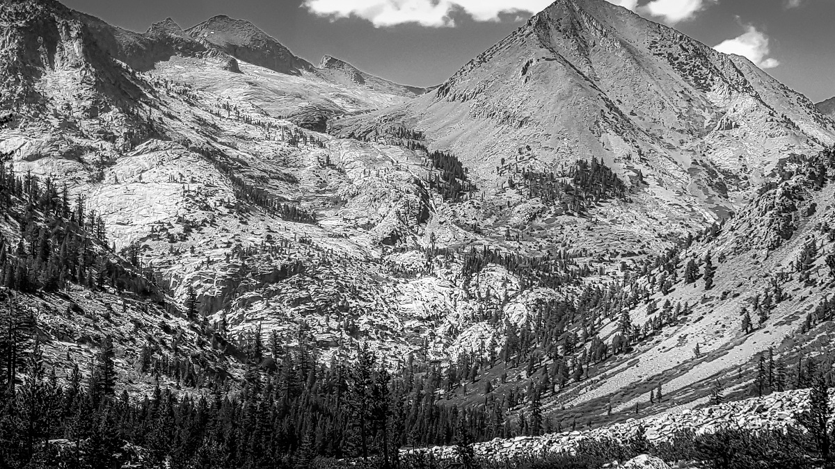
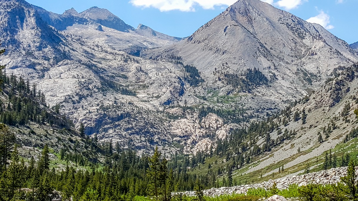
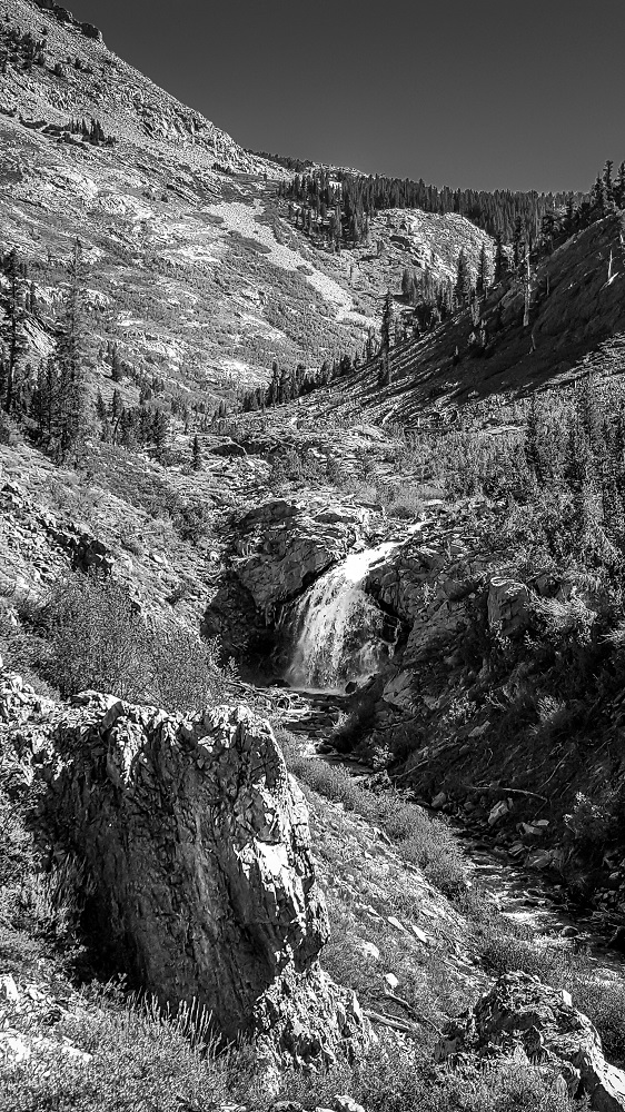
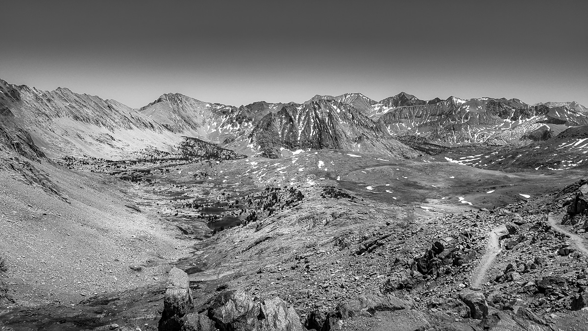
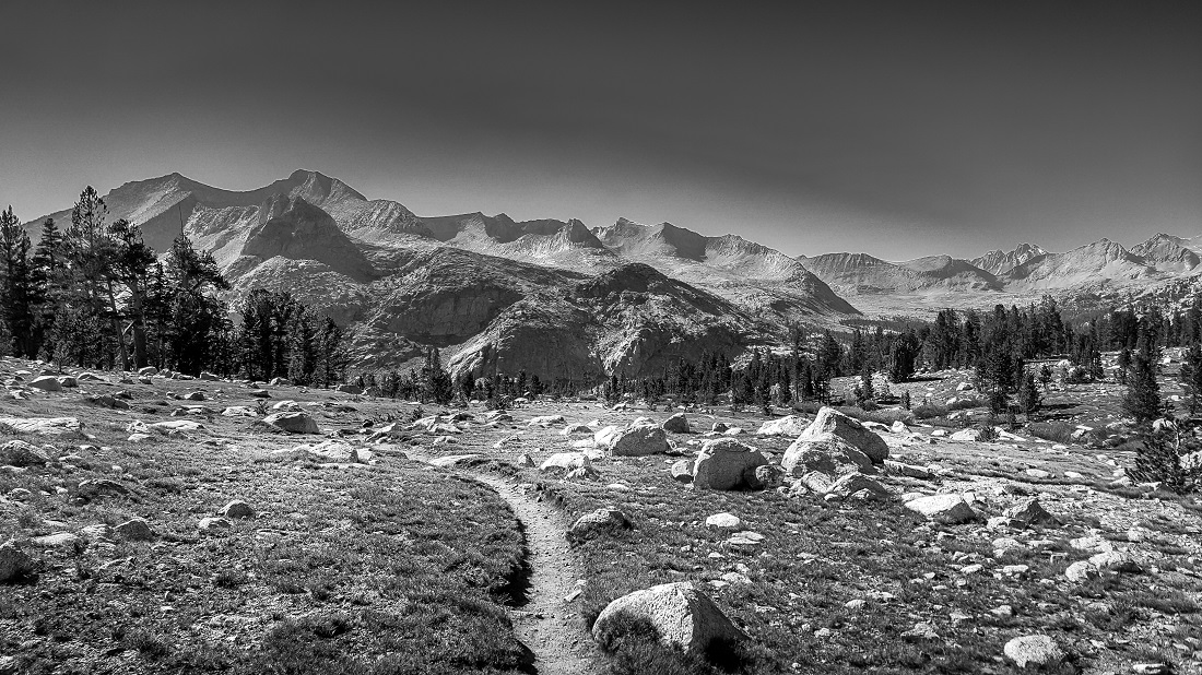
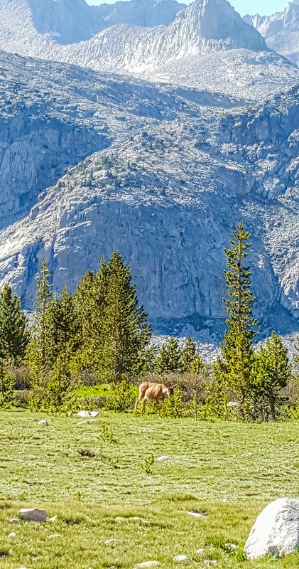
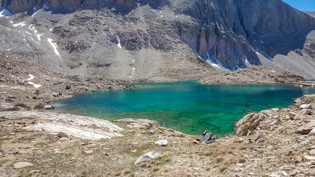
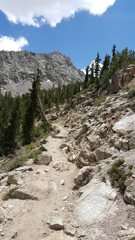
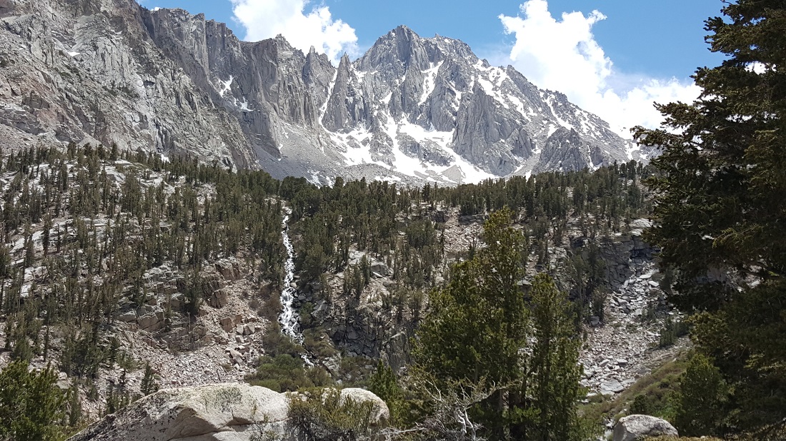
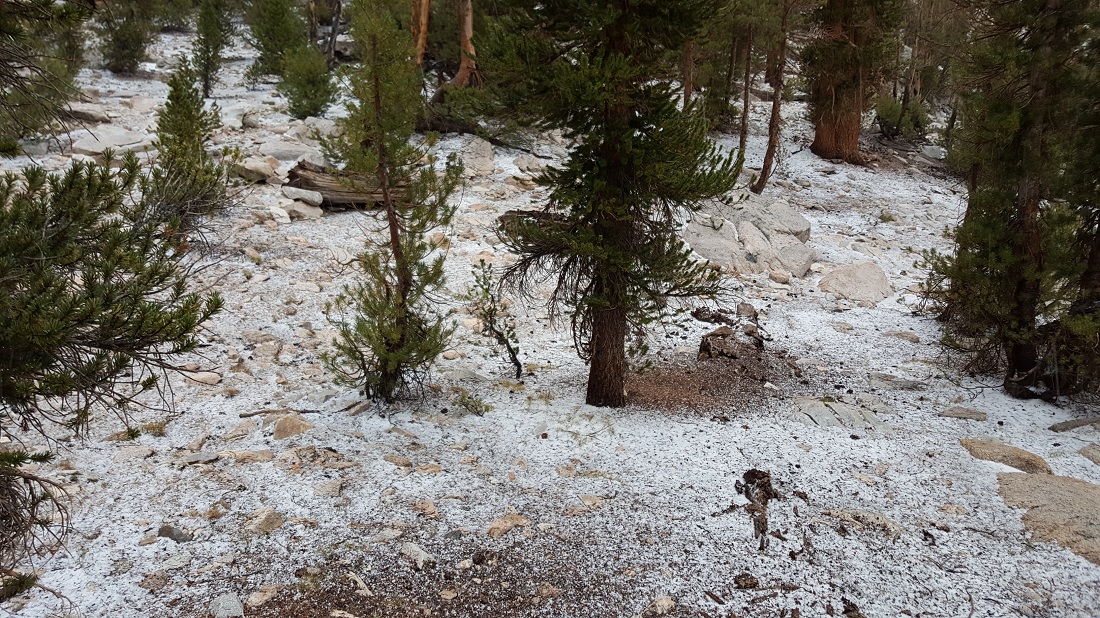
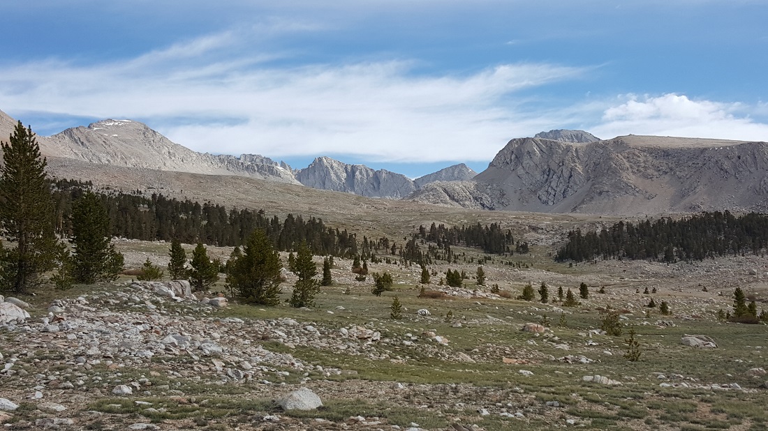
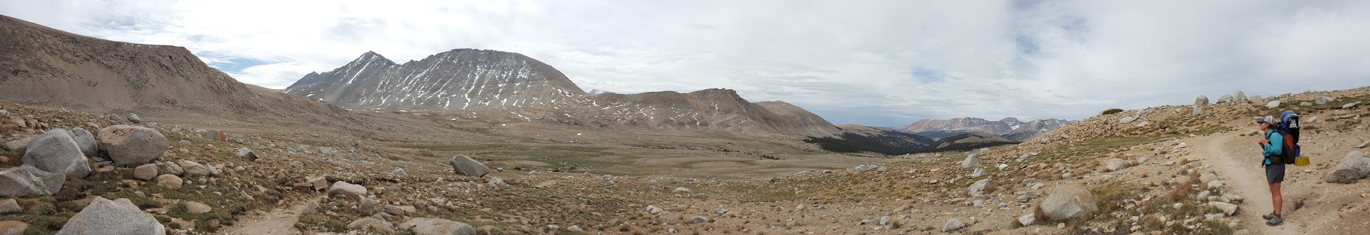
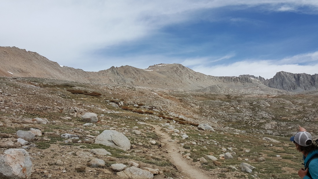
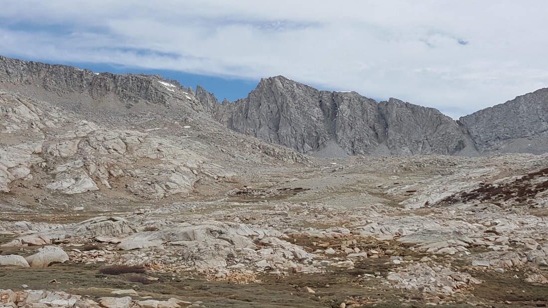
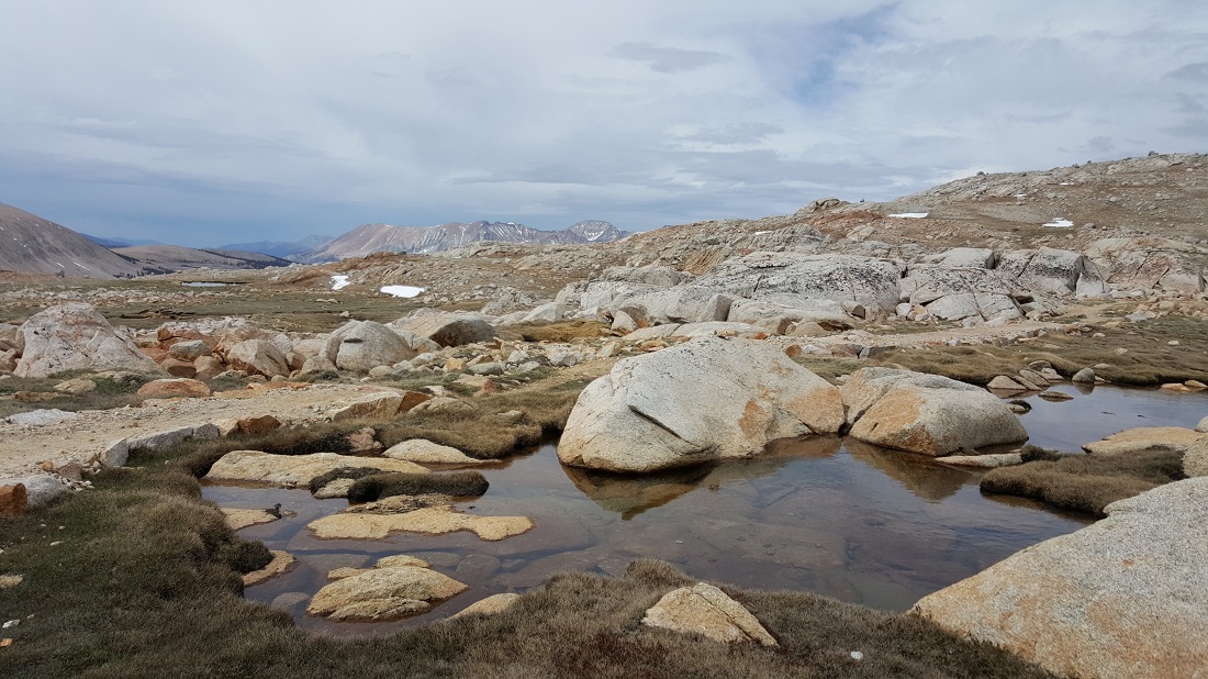
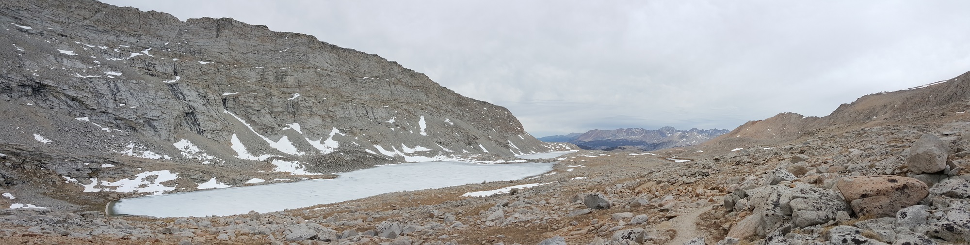
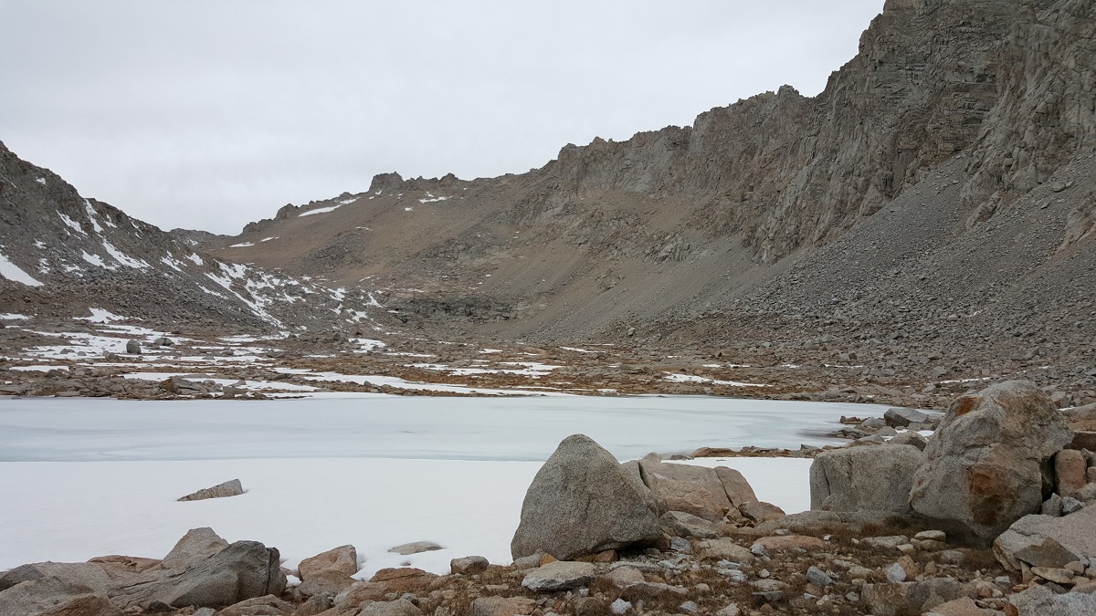
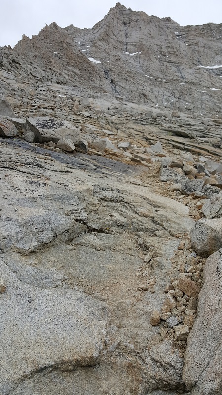
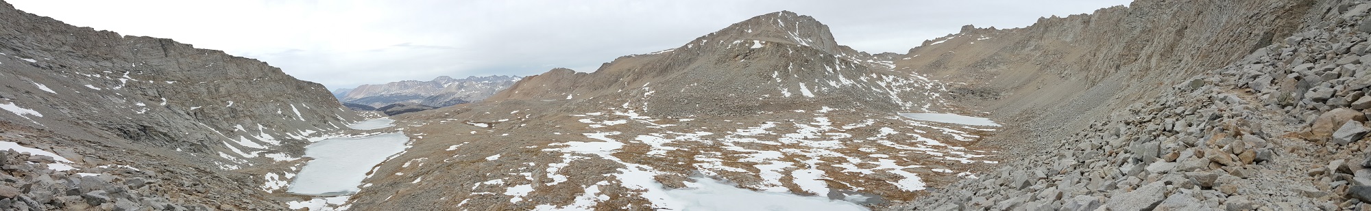
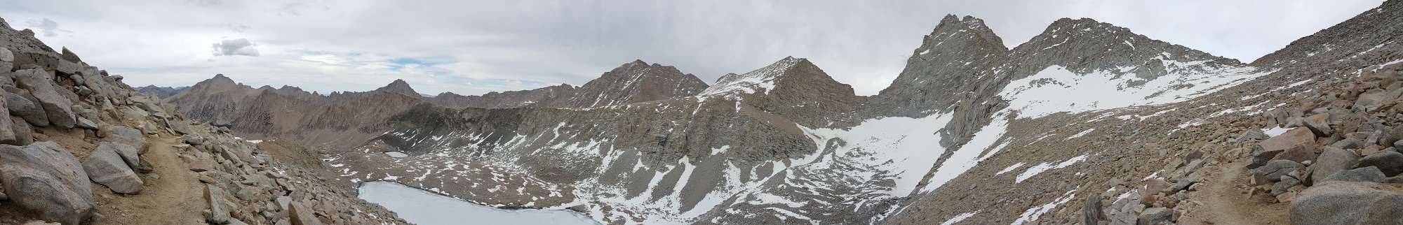
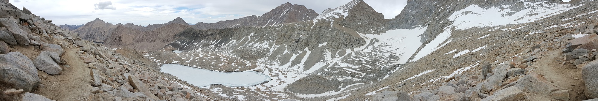
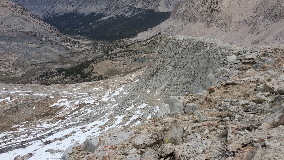
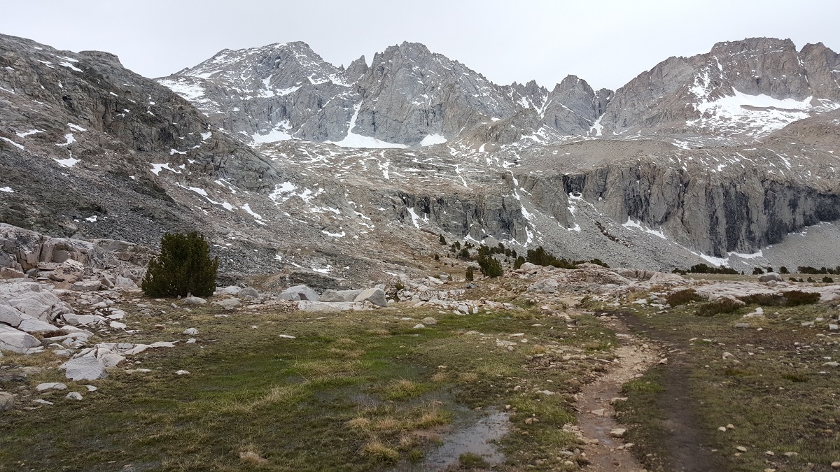
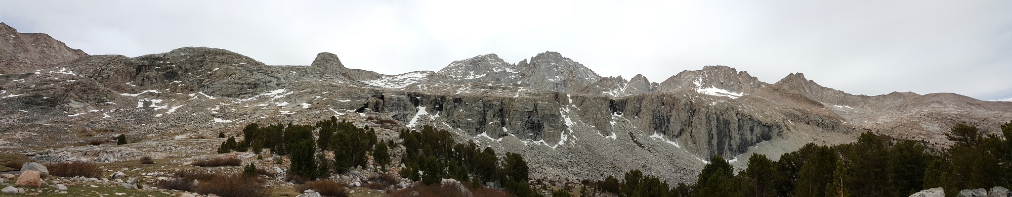
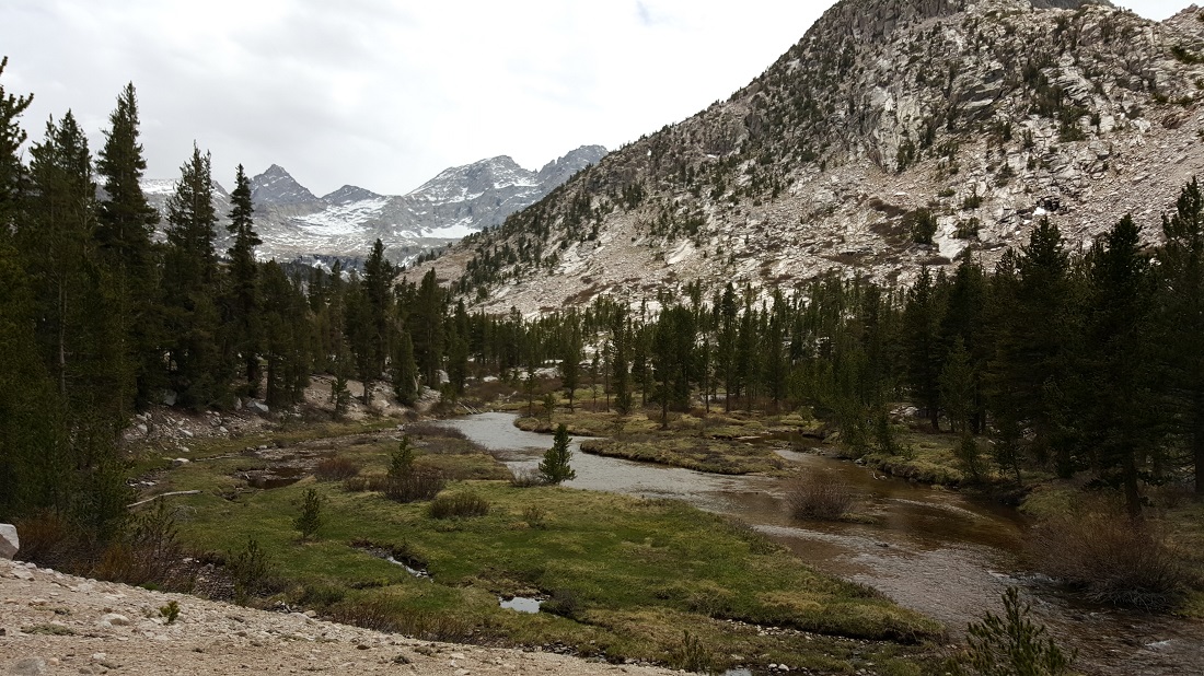
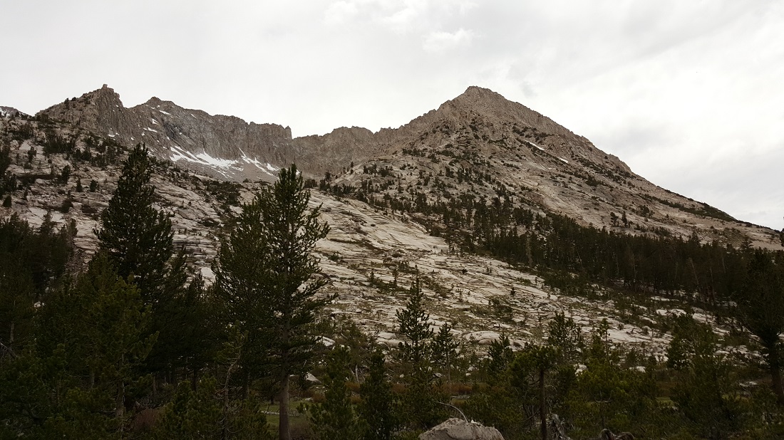
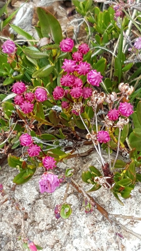
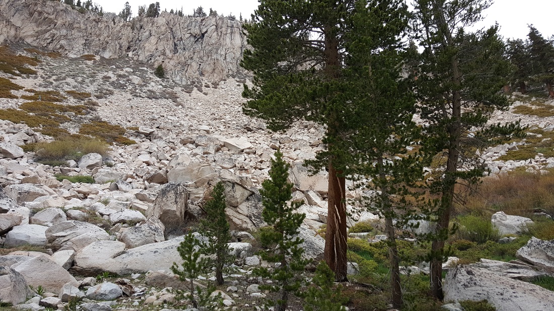
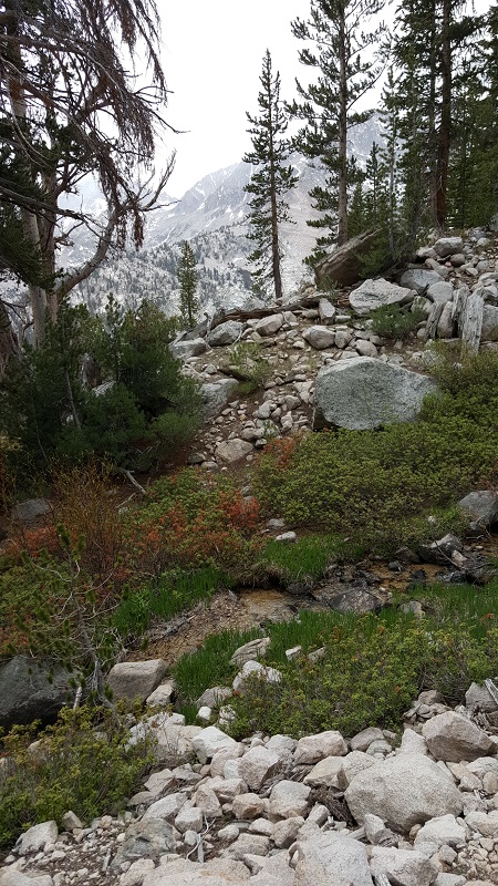
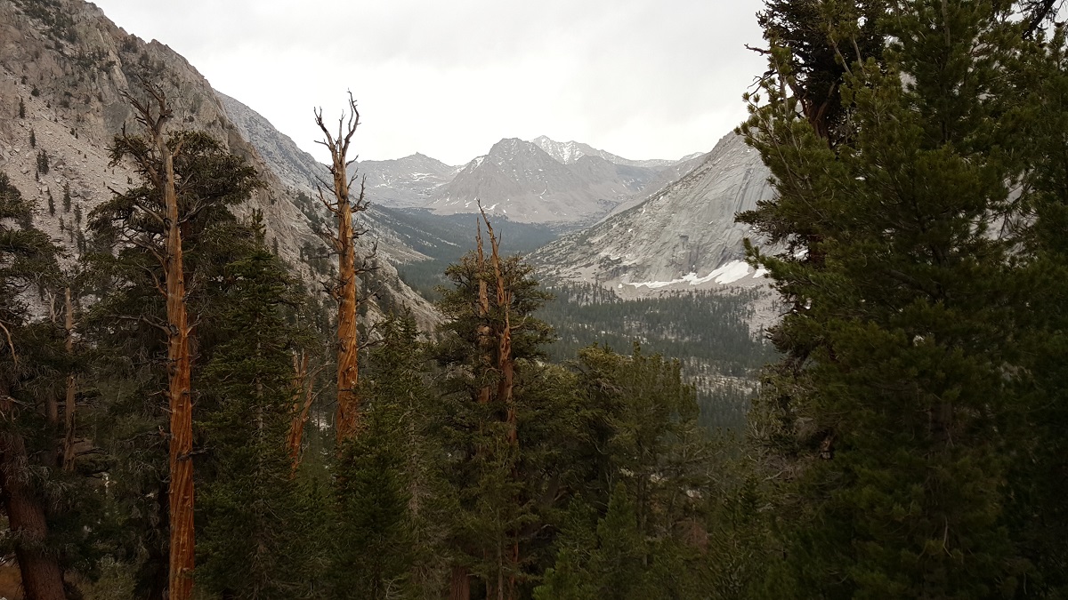
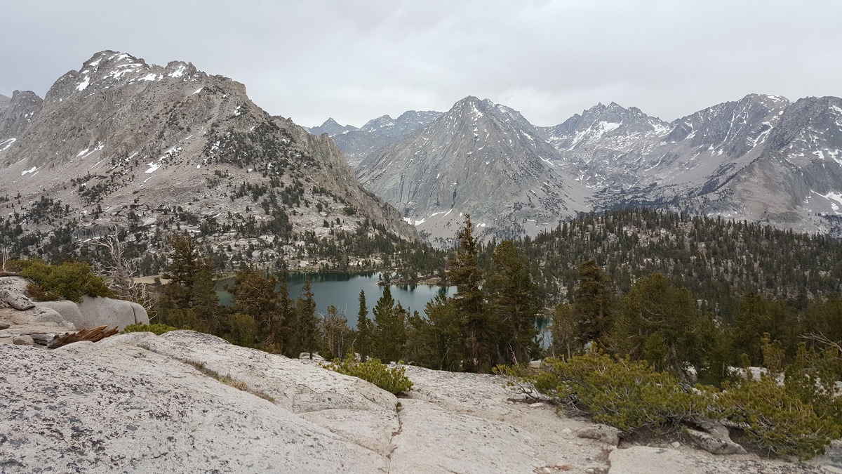
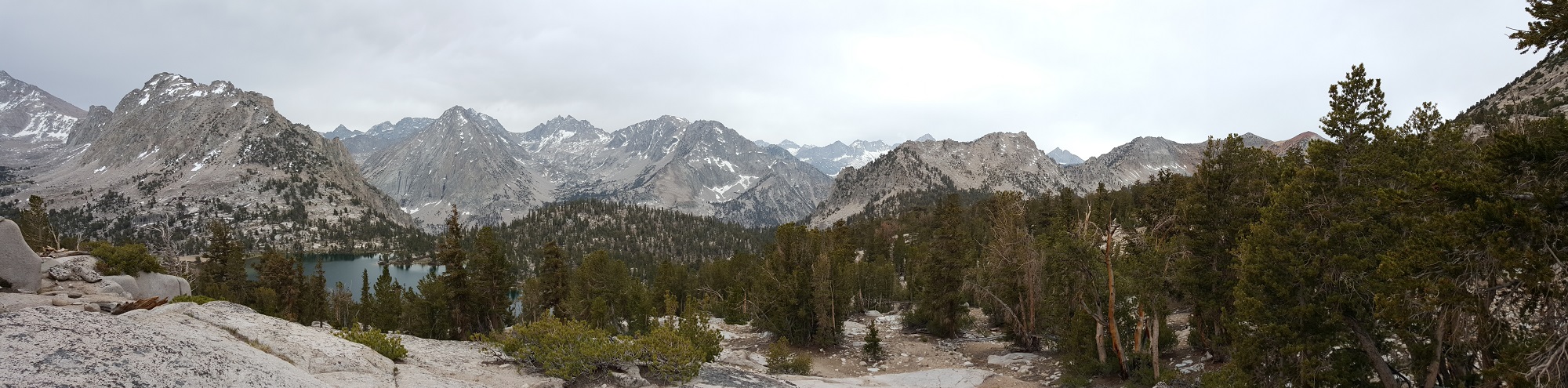
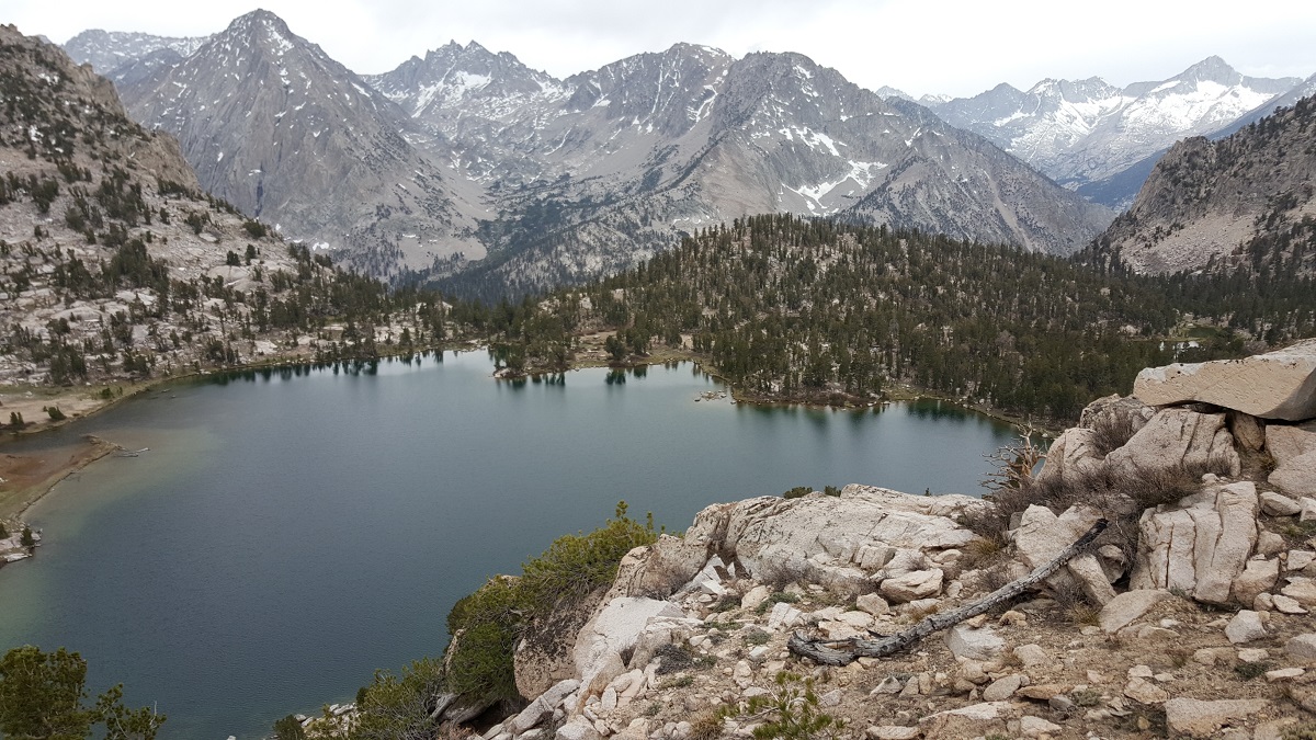
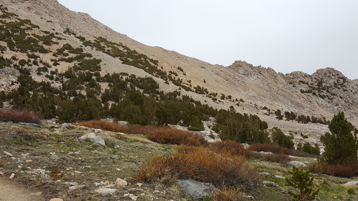
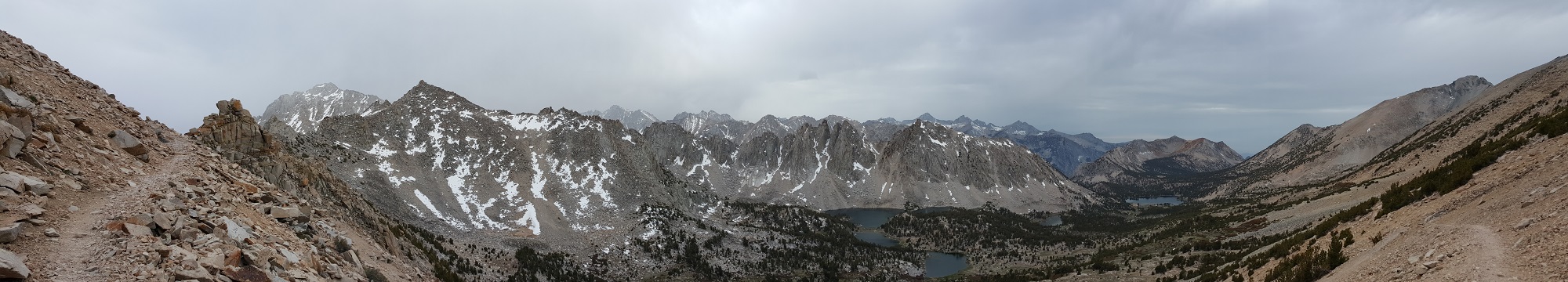
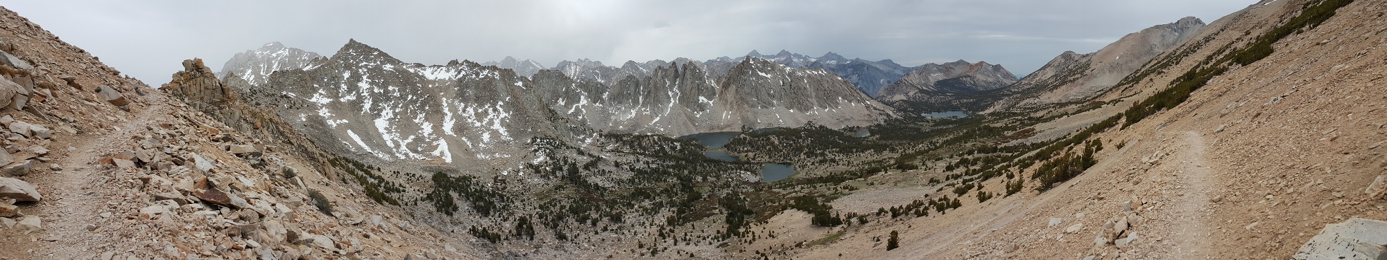
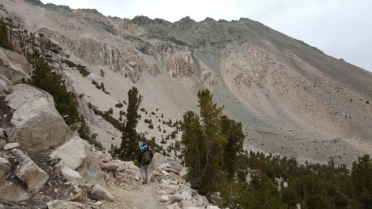
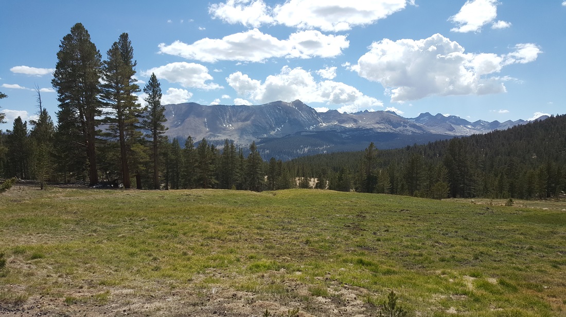
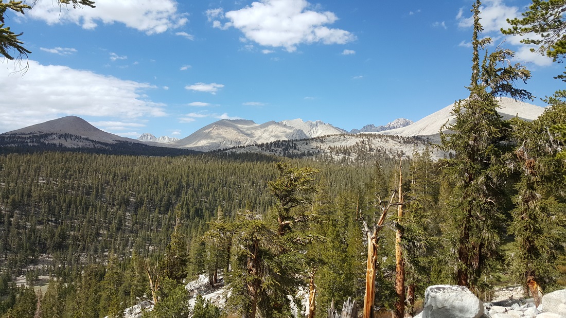
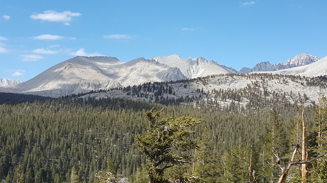
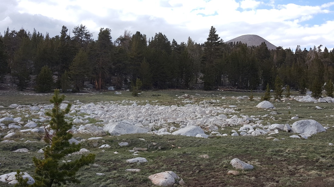
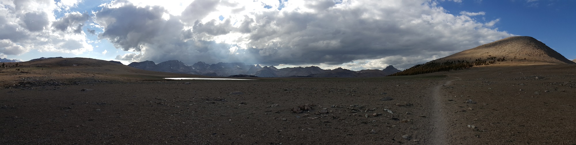
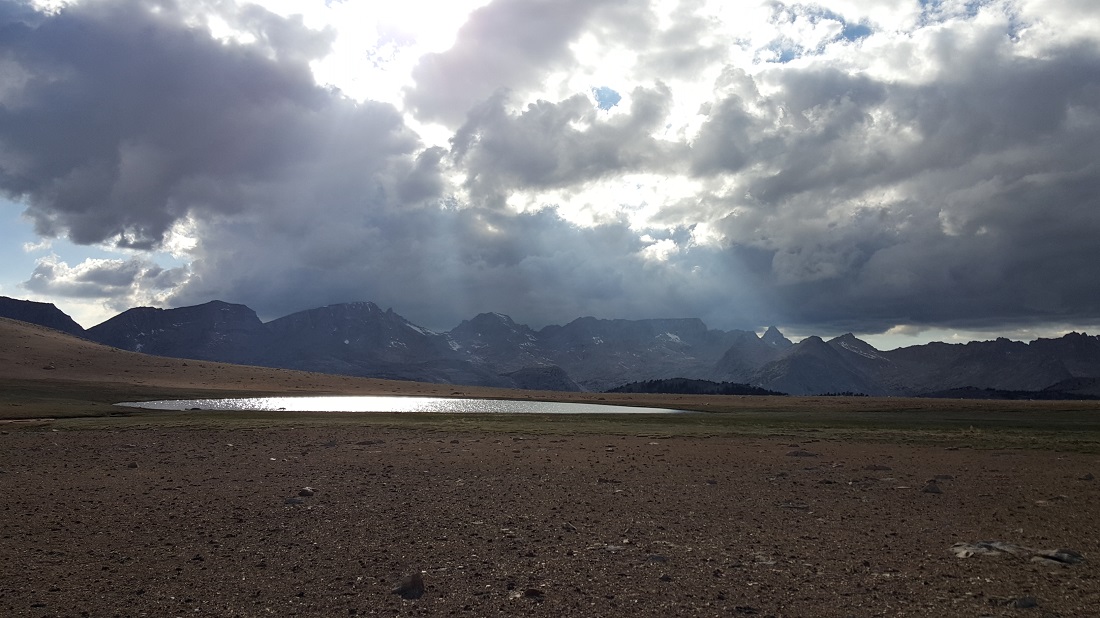
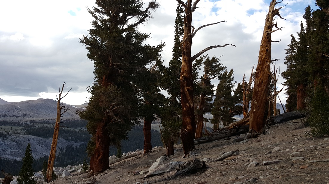
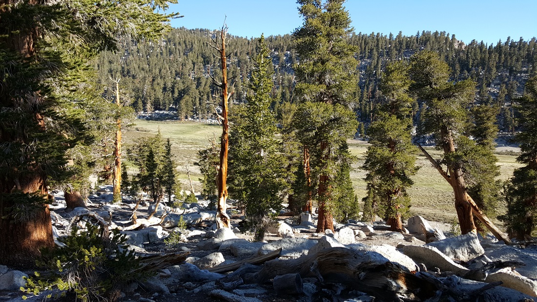
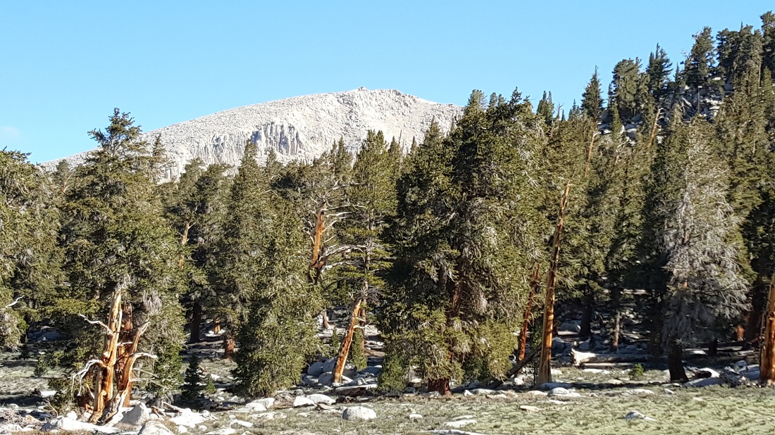
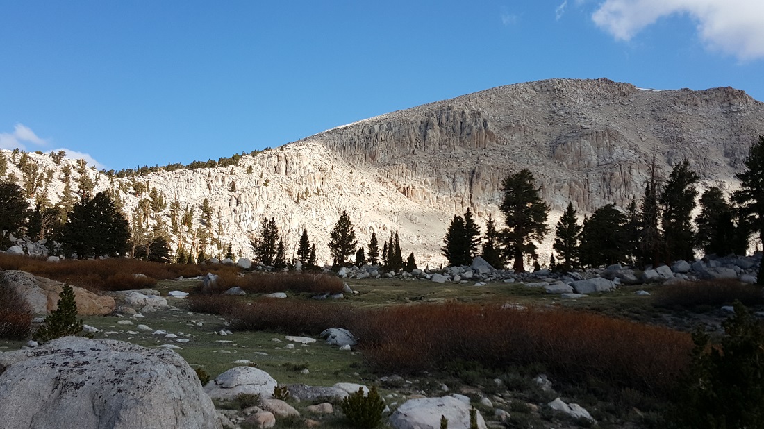
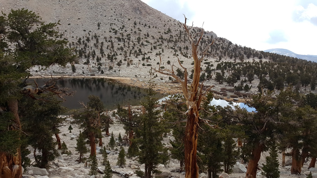
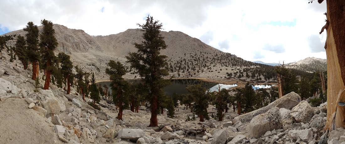
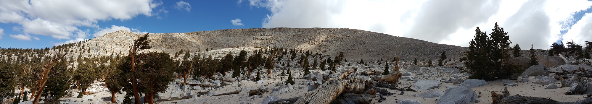
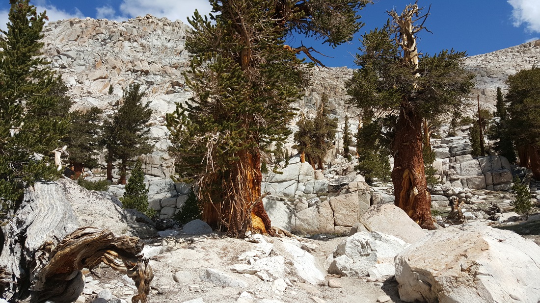
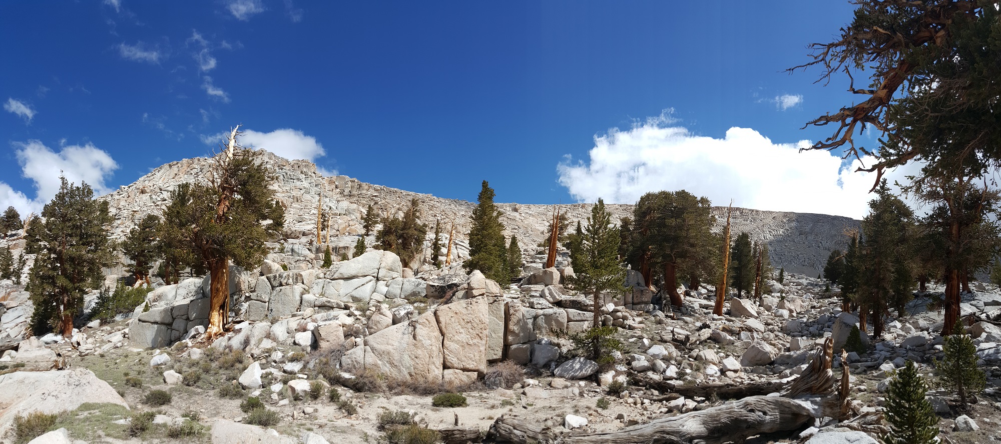
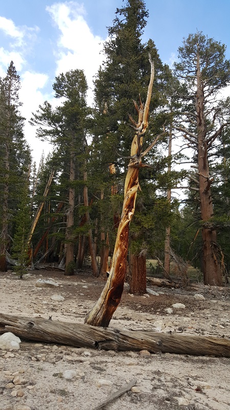
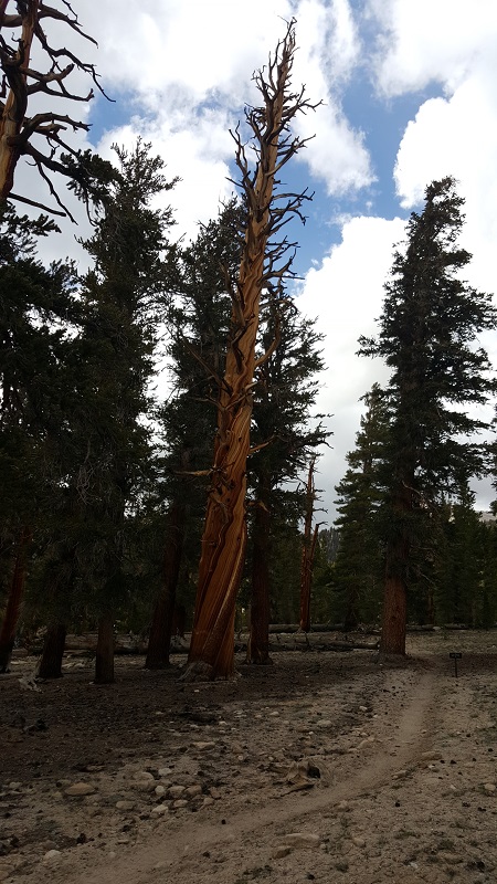
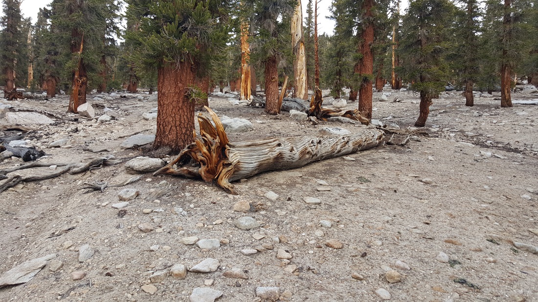
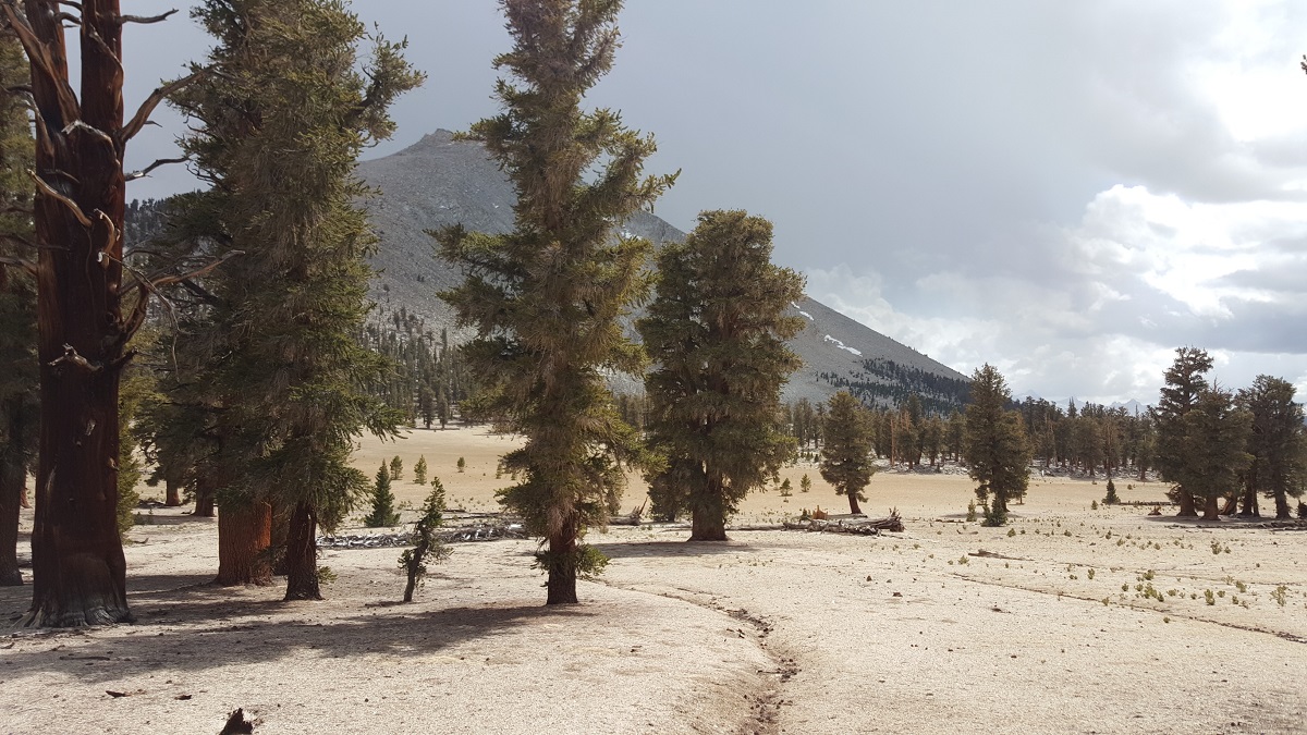
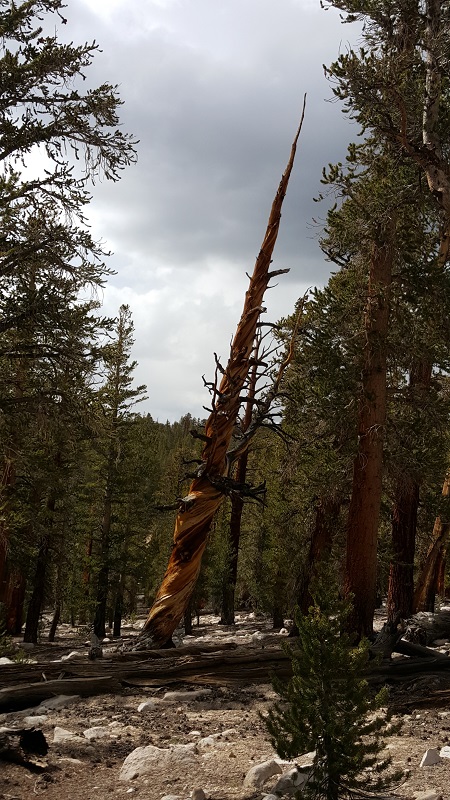
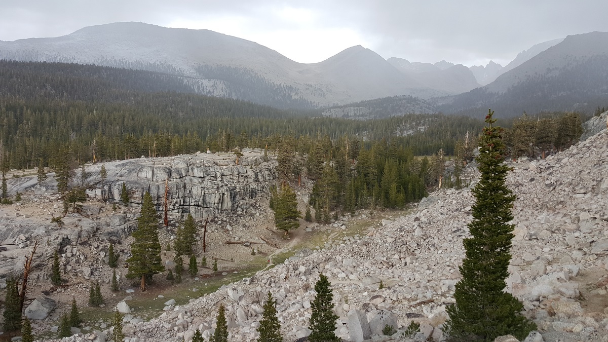
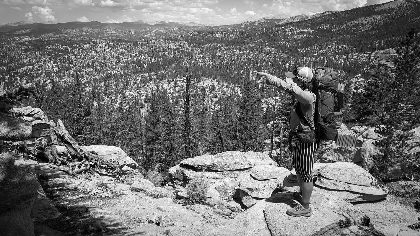
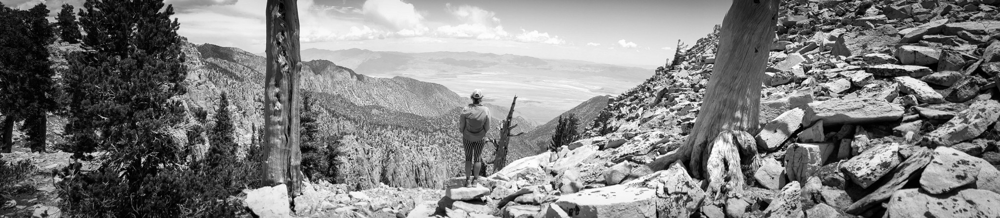
We were surrounded by beautiful scenery during the early part of the ascent.

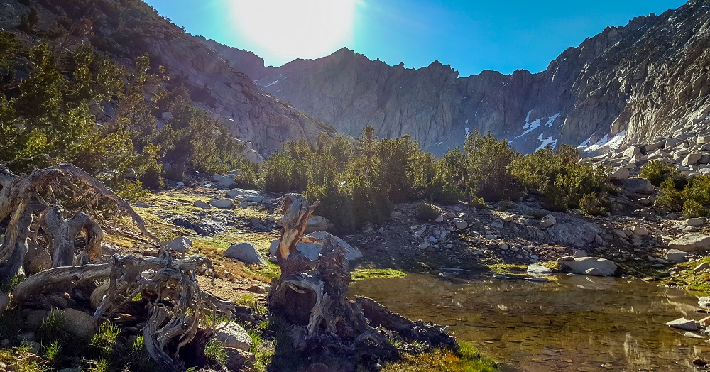
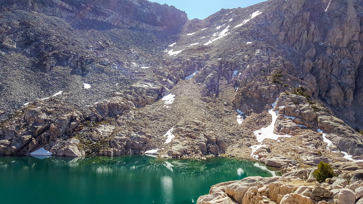
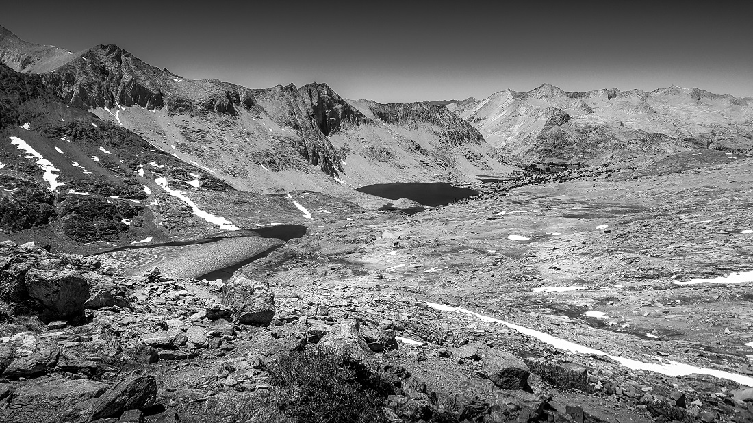
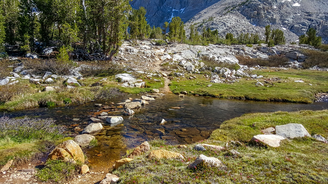
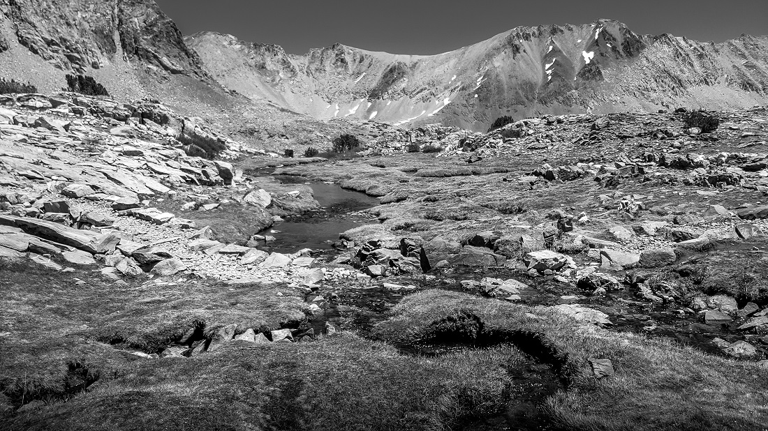
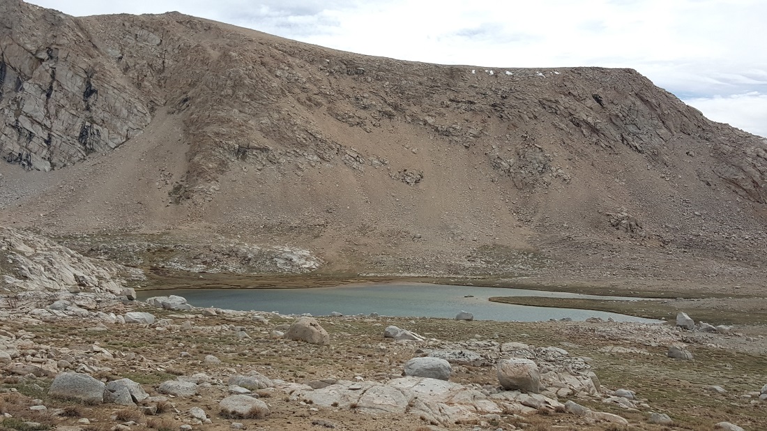
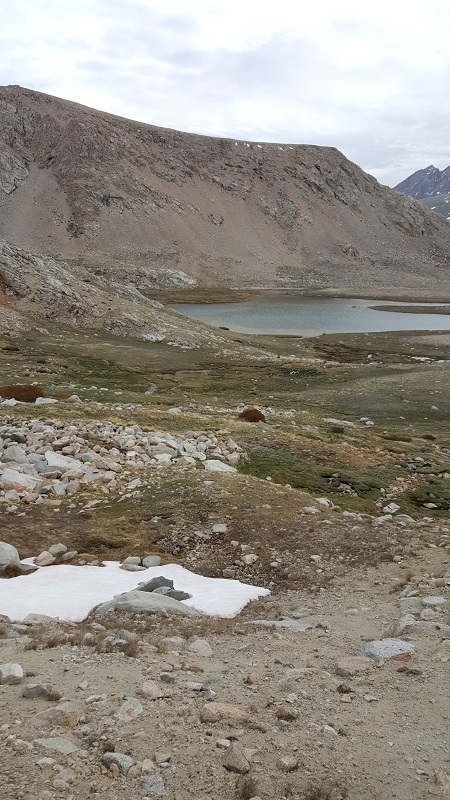
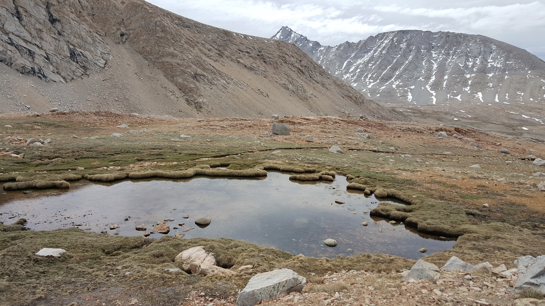
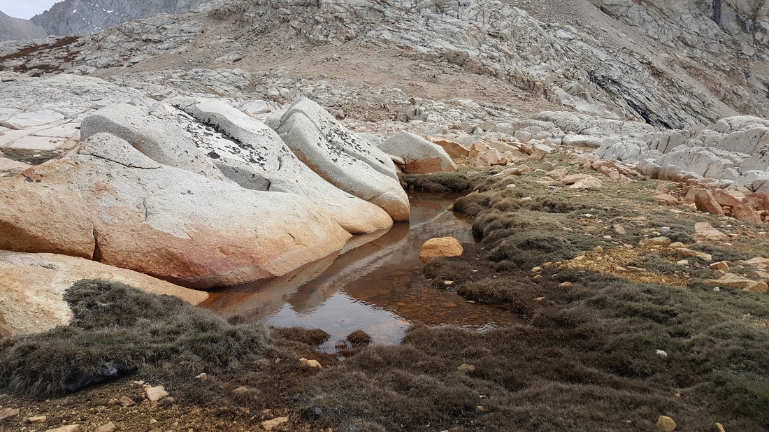
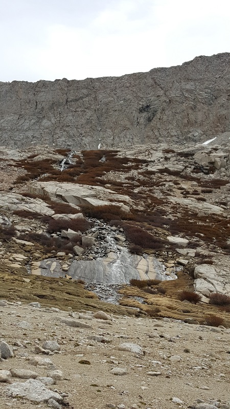
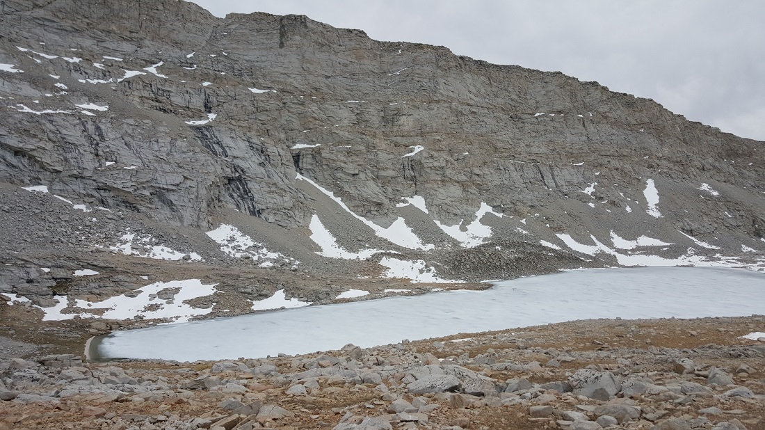
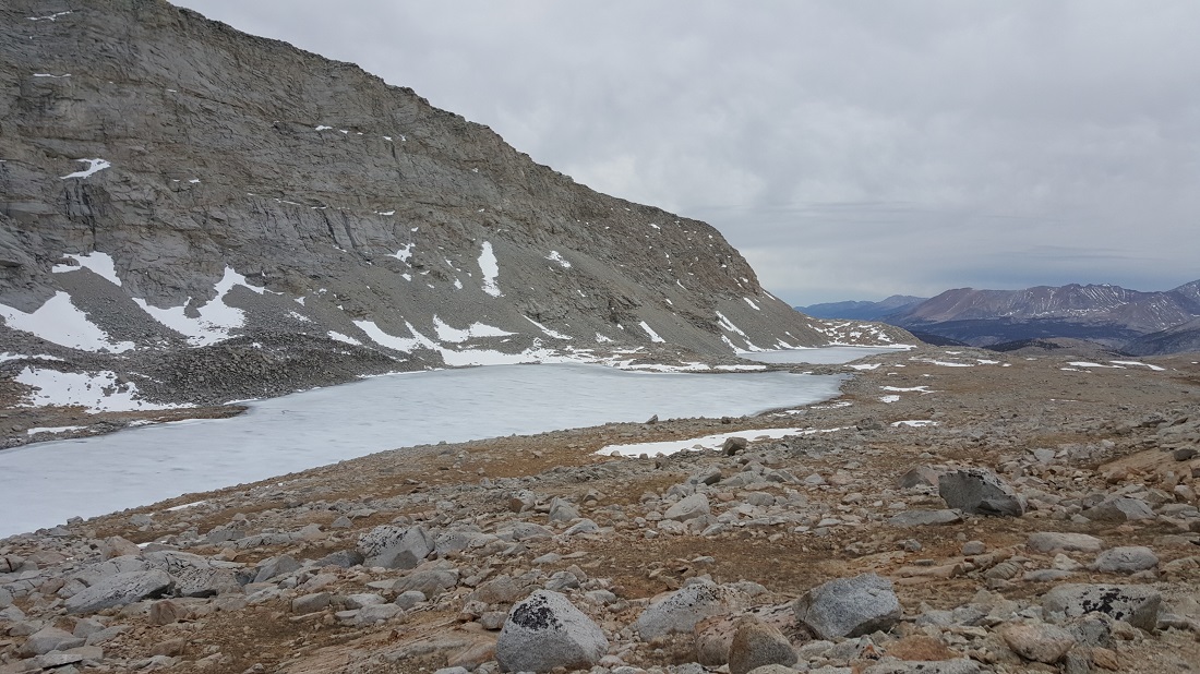
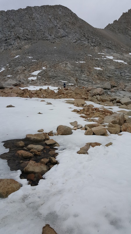
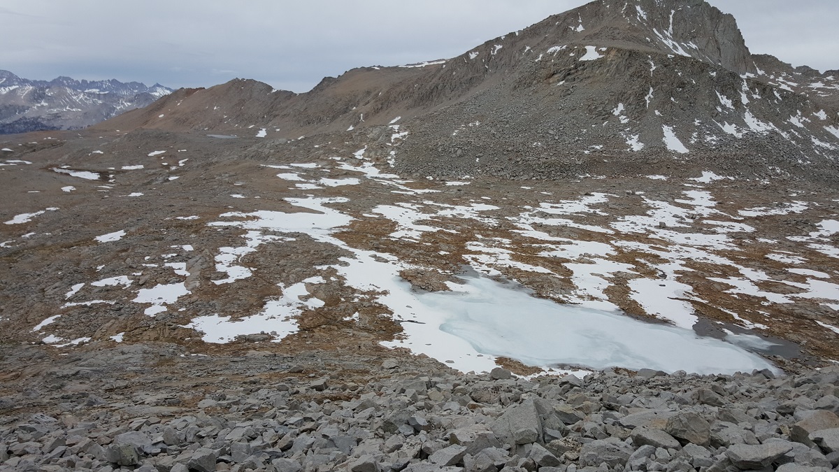
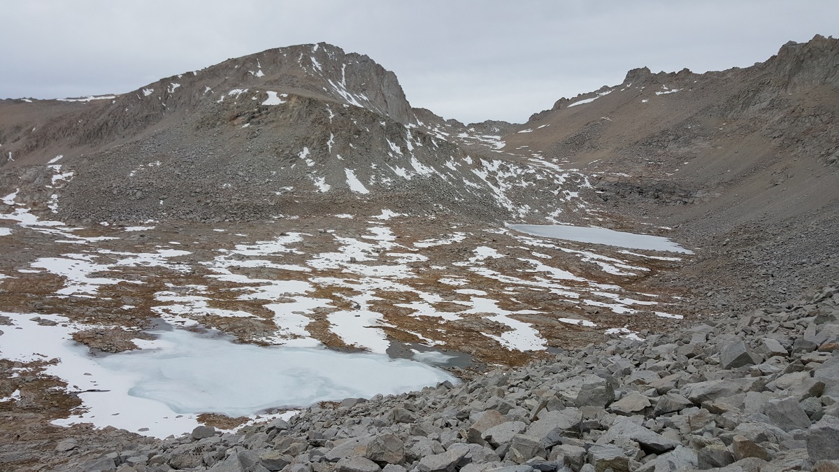
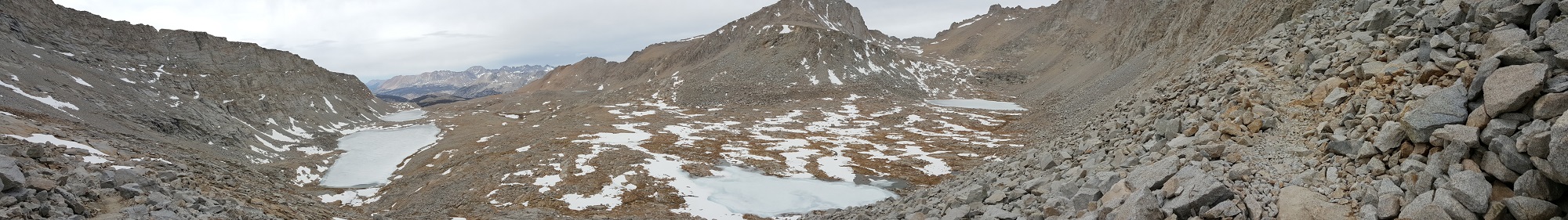
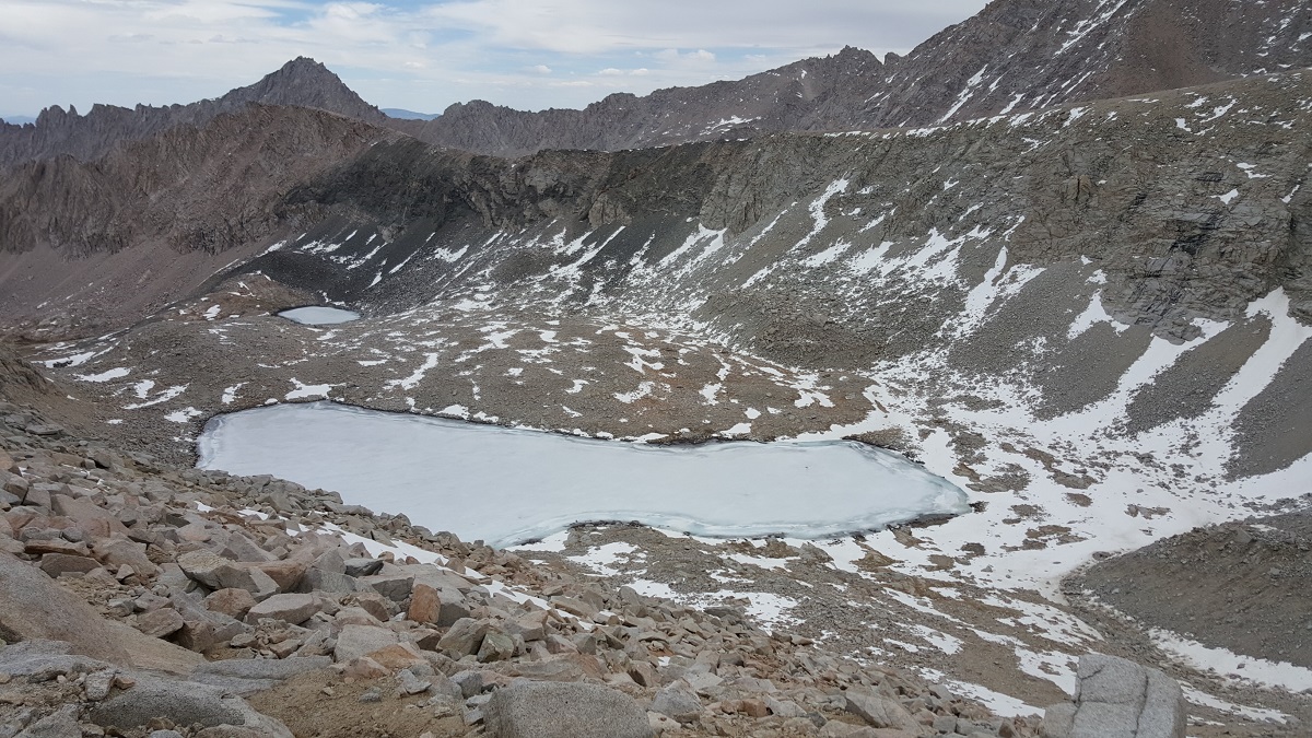
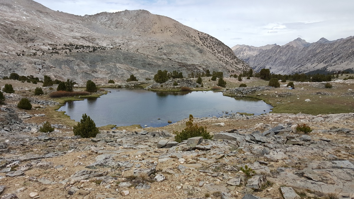
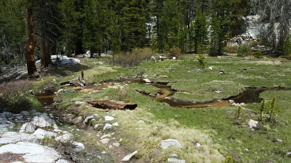
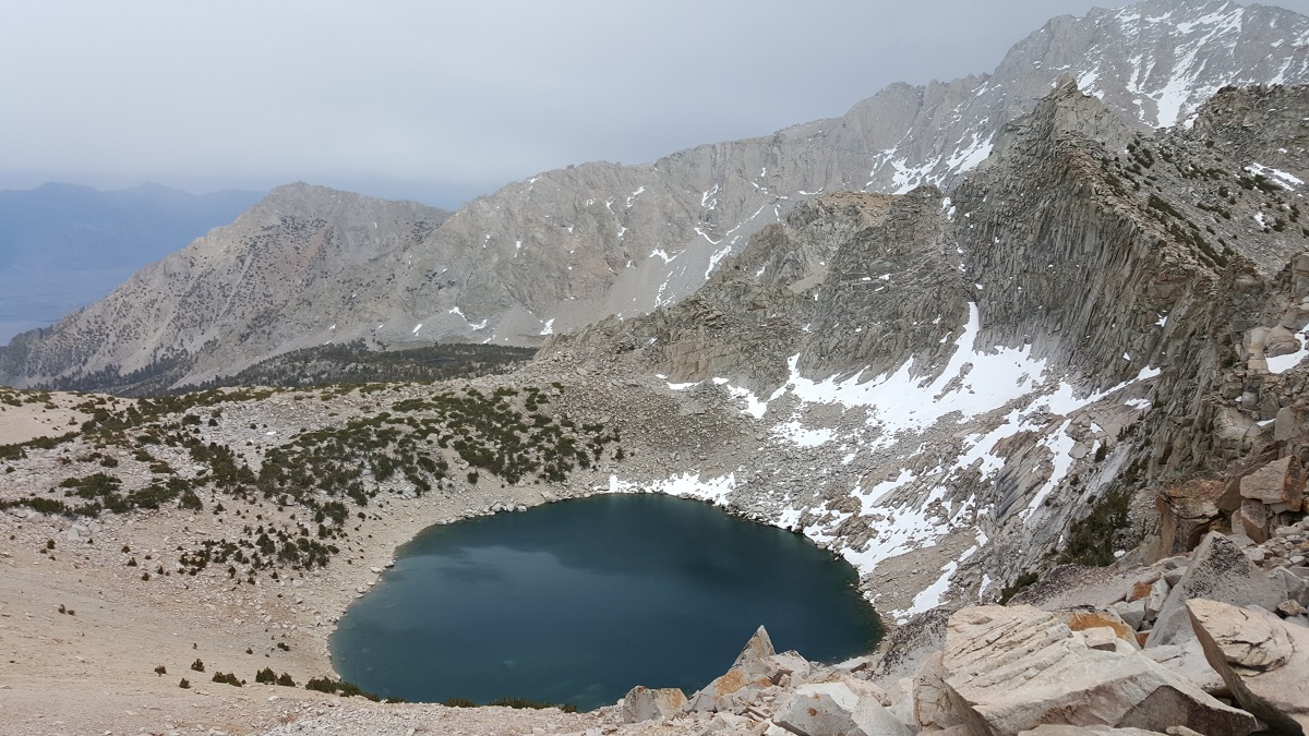
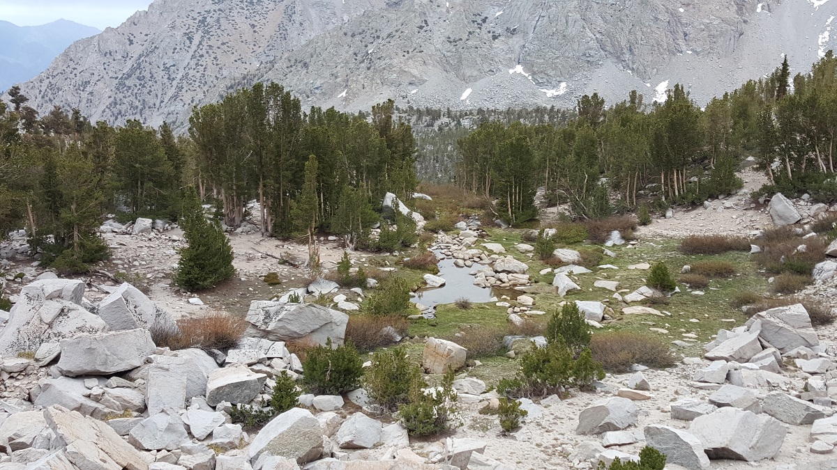
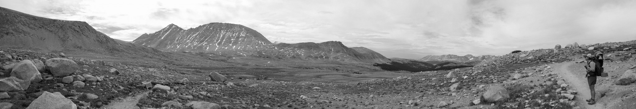
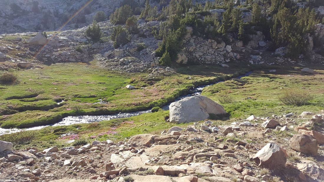
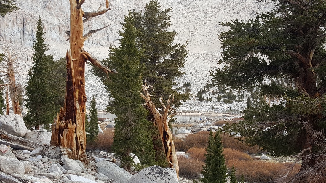
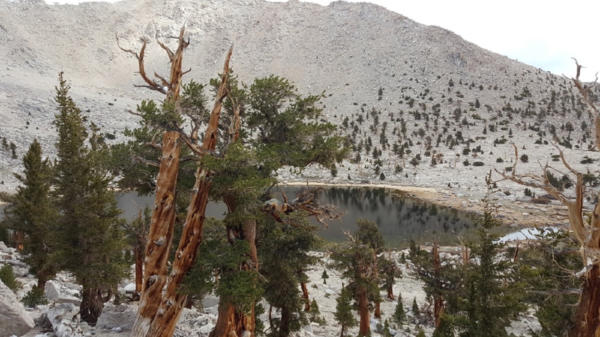
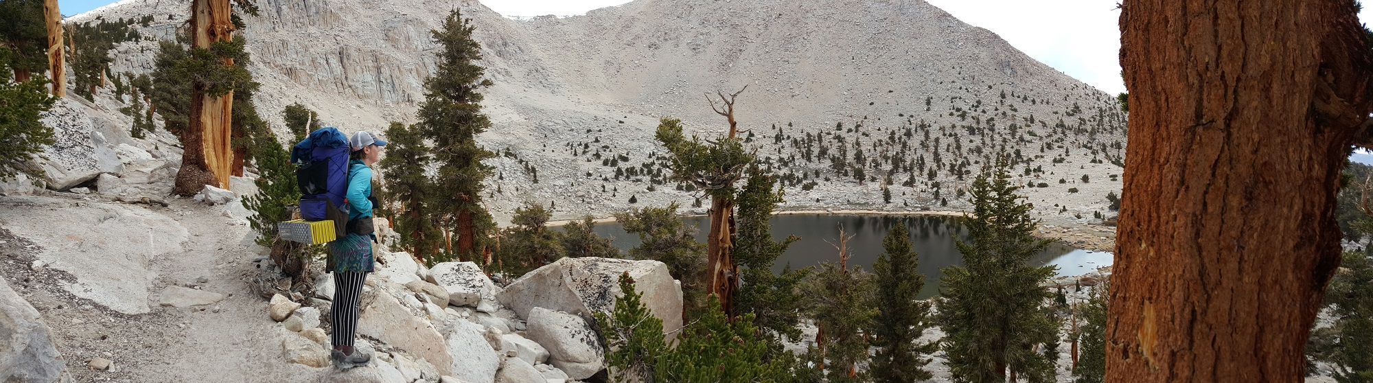
This was our last water resupply before the real push up Glen Pass, and our “staging point” for breakfast, filtering, bio, etc. You can see the upper bowl in the background. The pond had some chatty frogs.

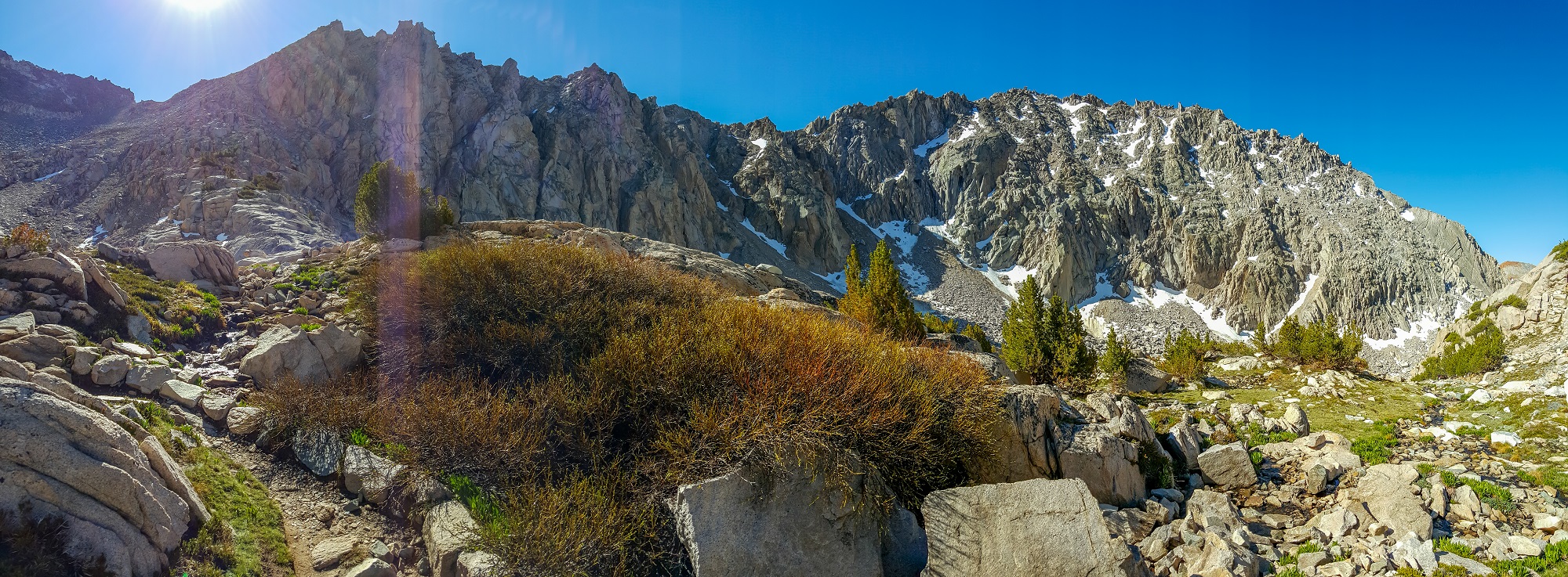
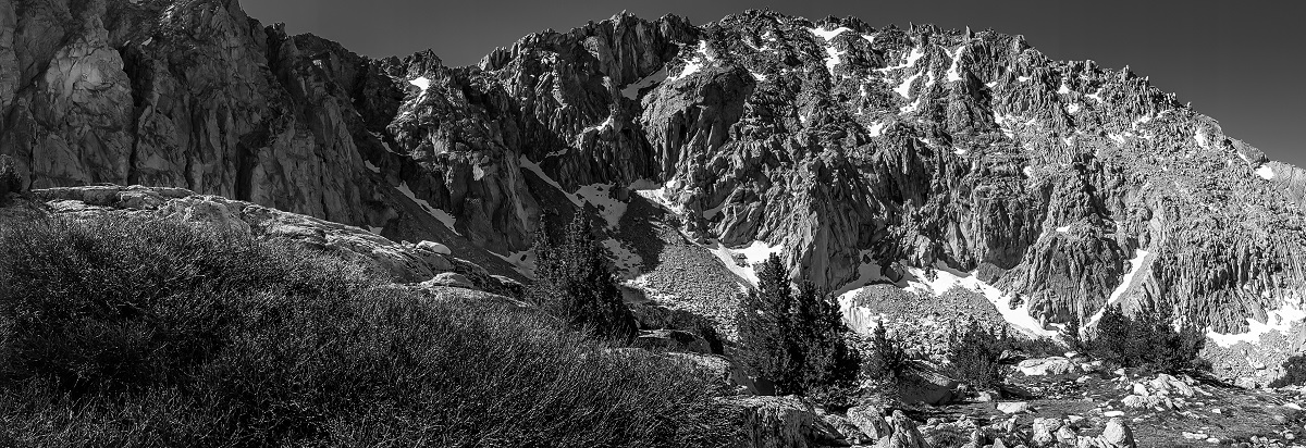
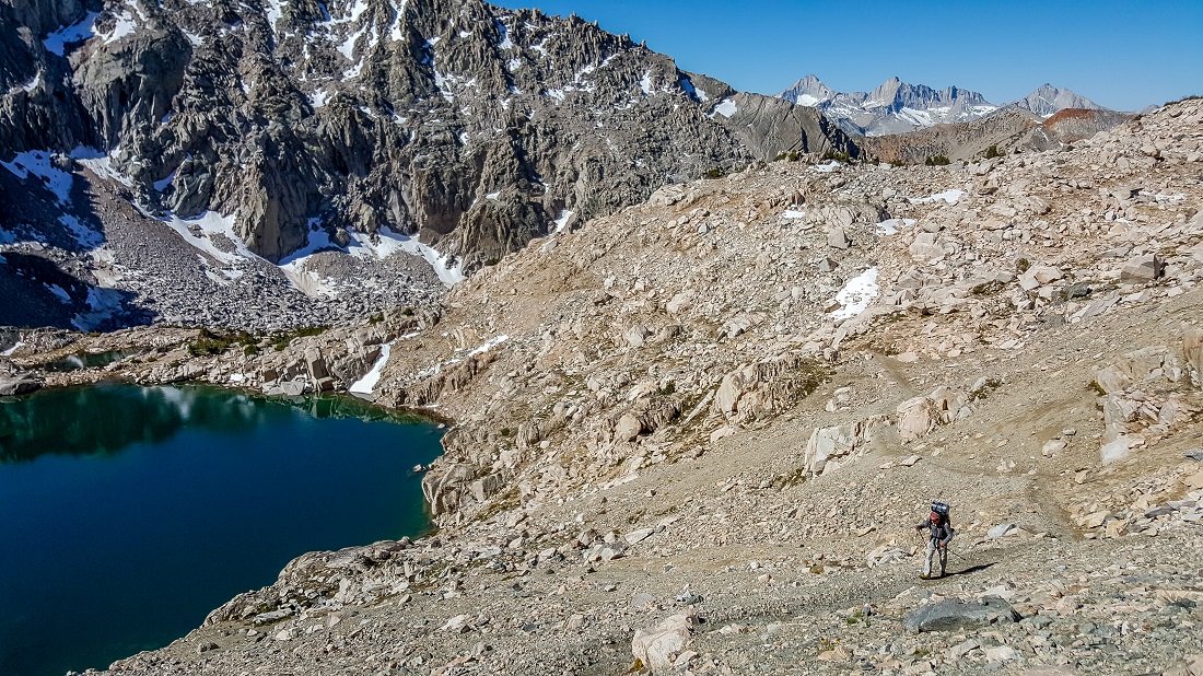
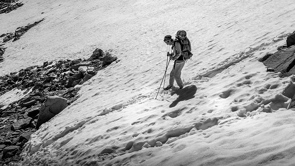
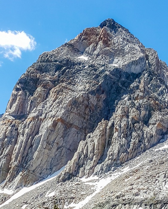
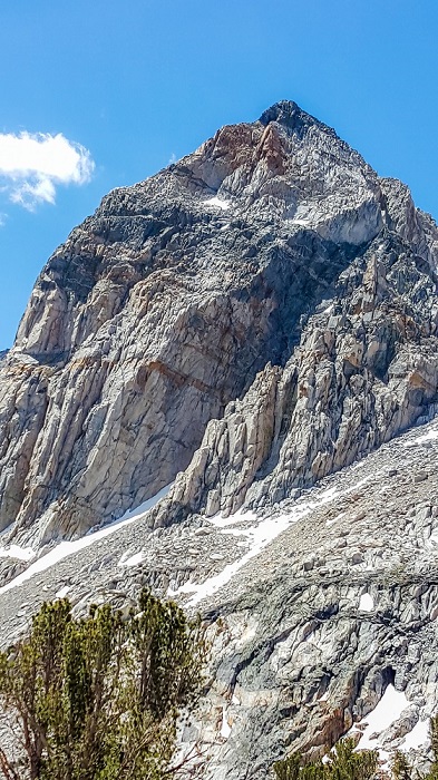
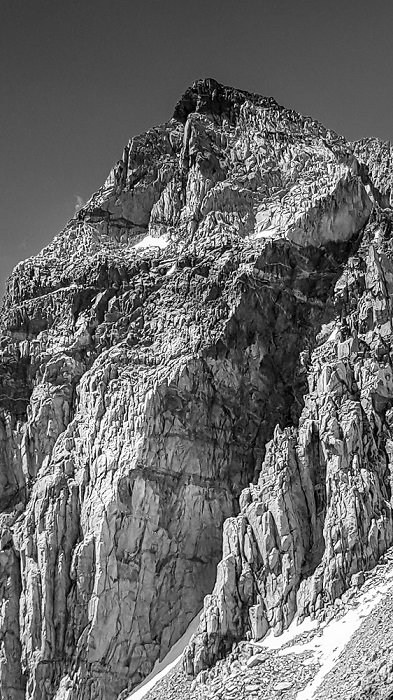
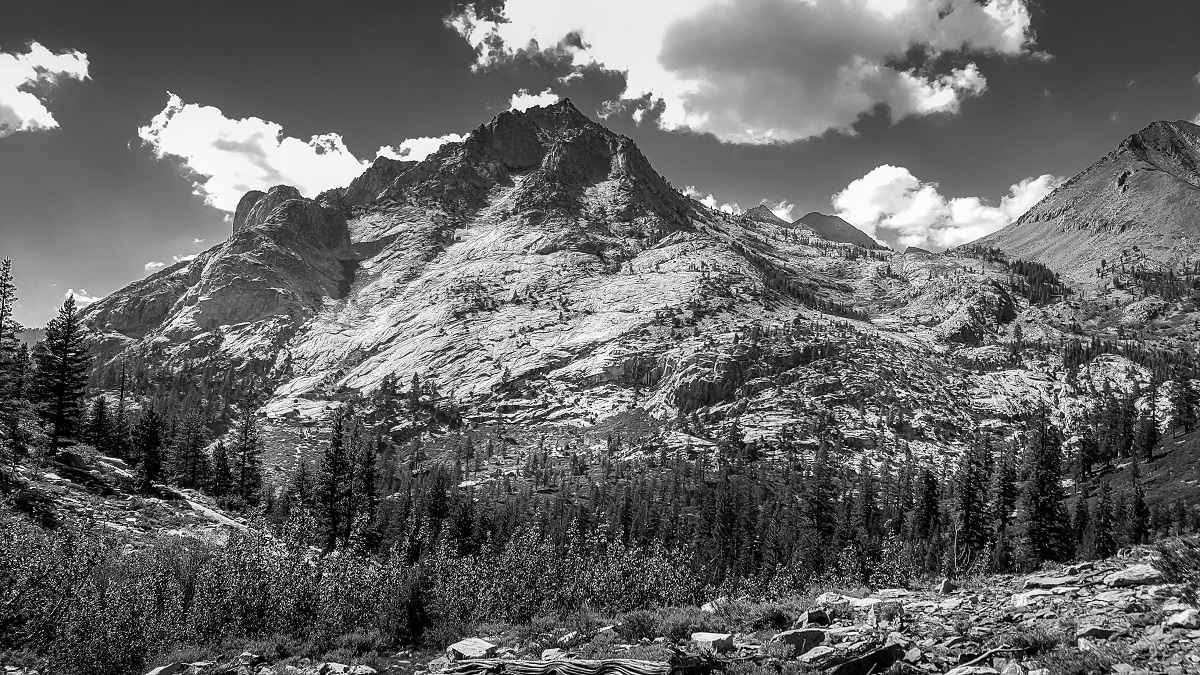
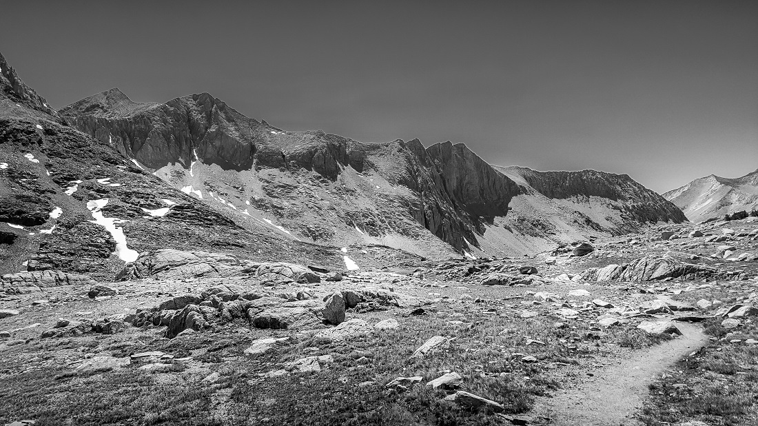
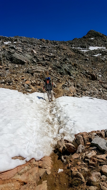
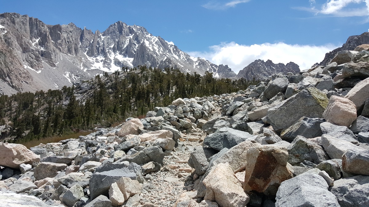
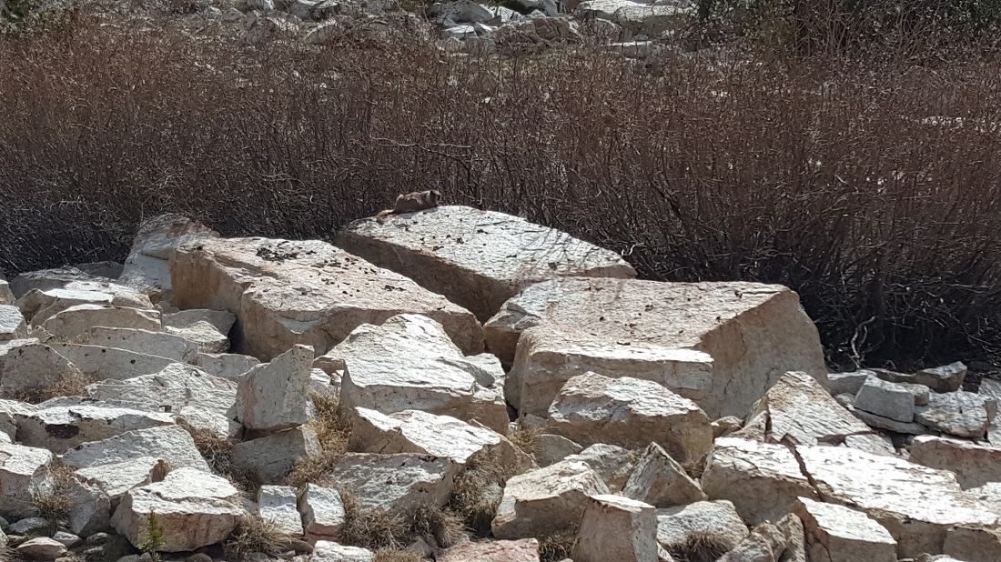
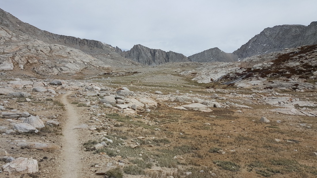
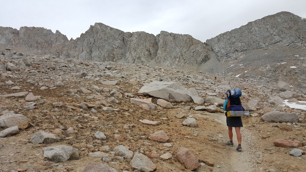
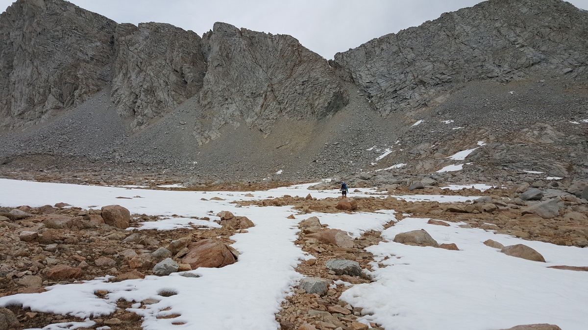
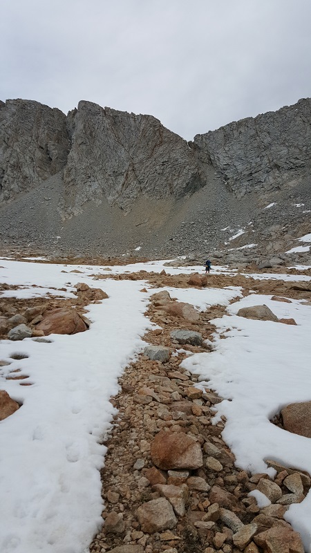
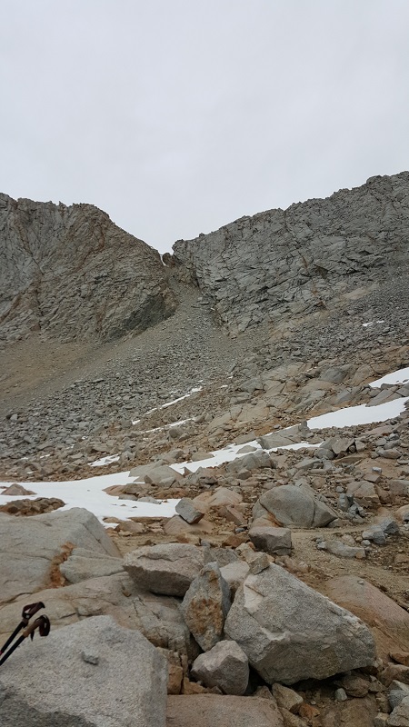
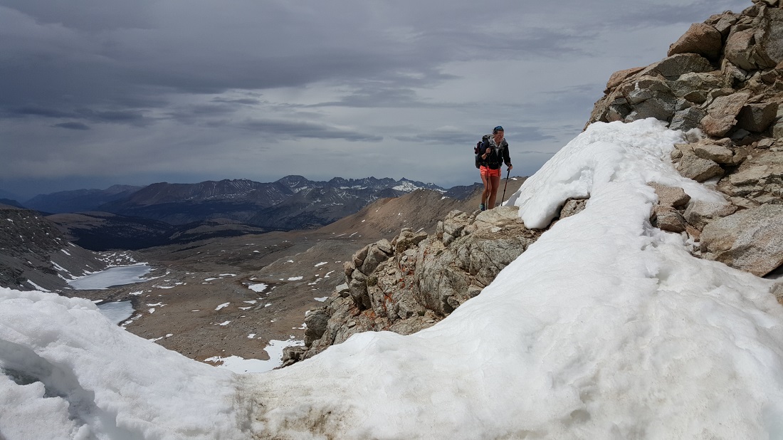
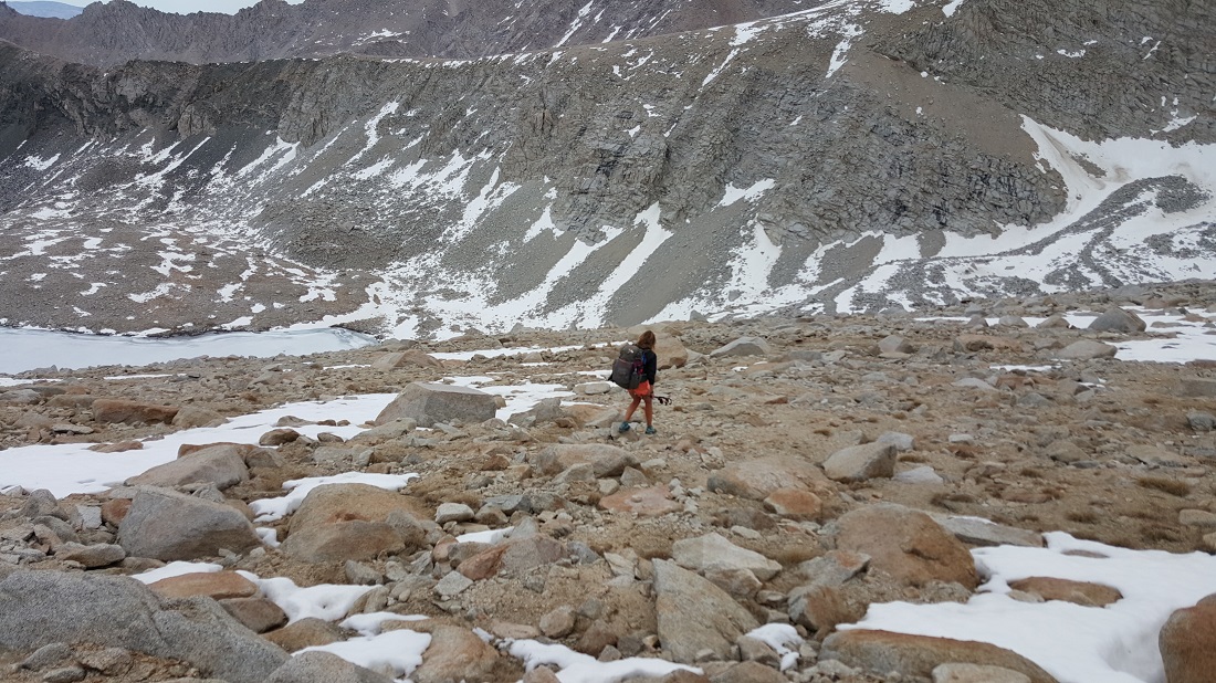
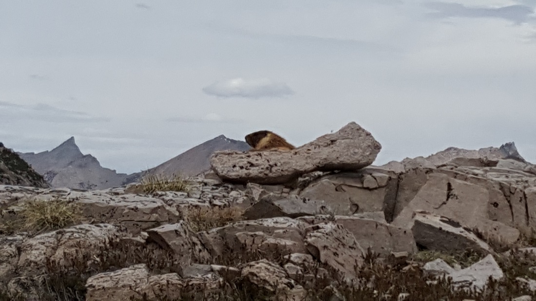
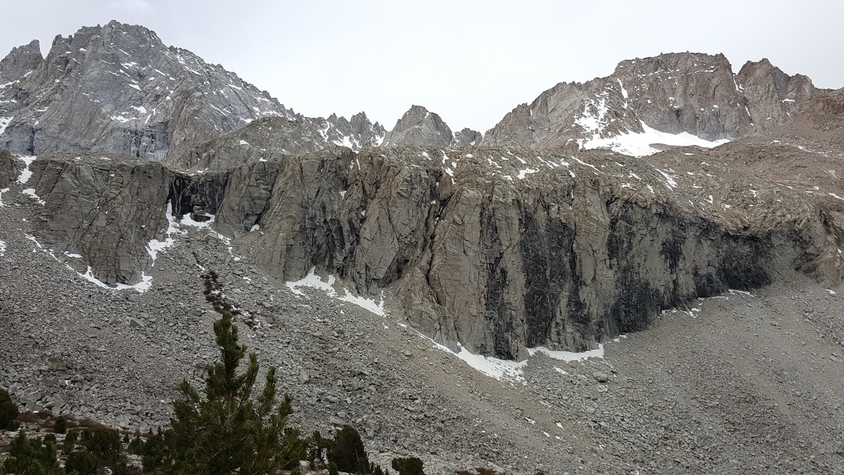
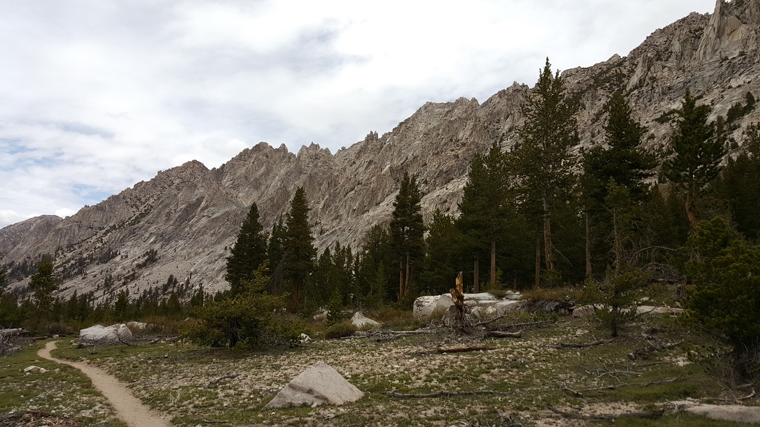
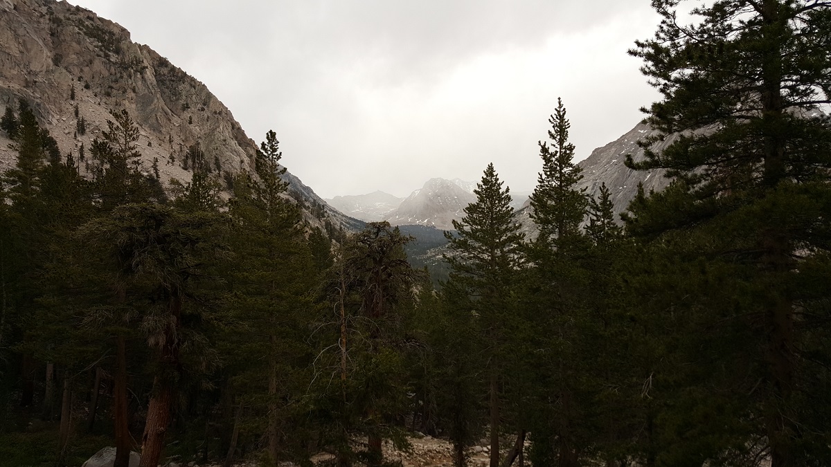
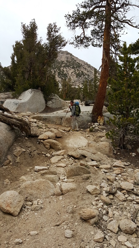
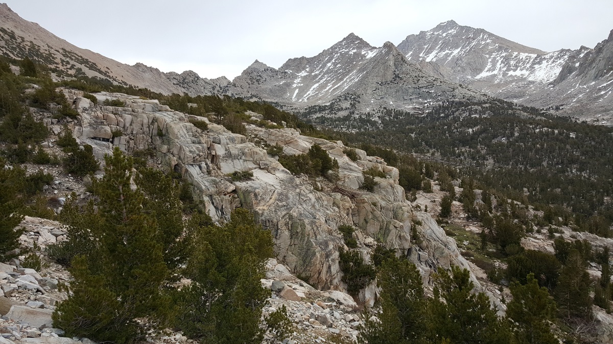
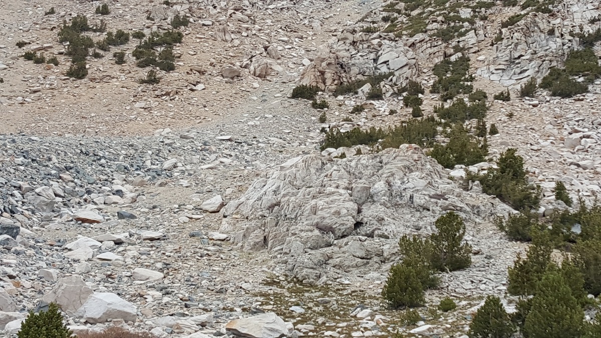
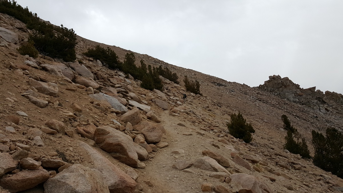
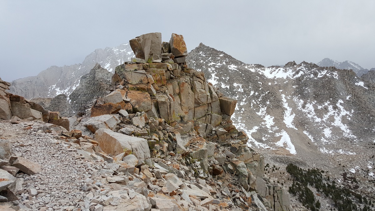
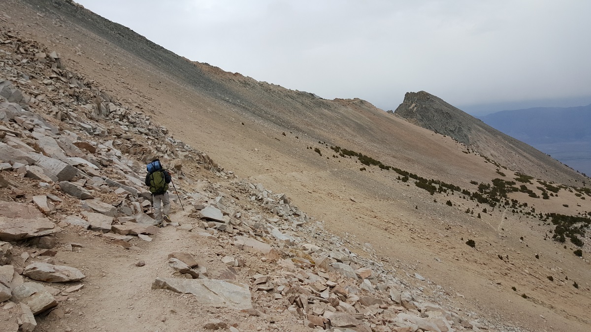
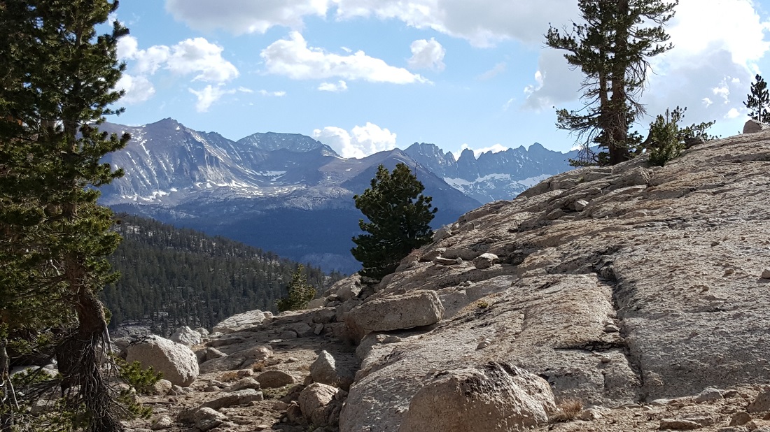
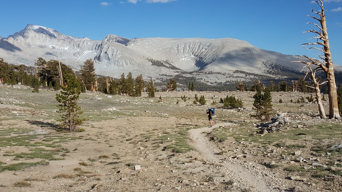
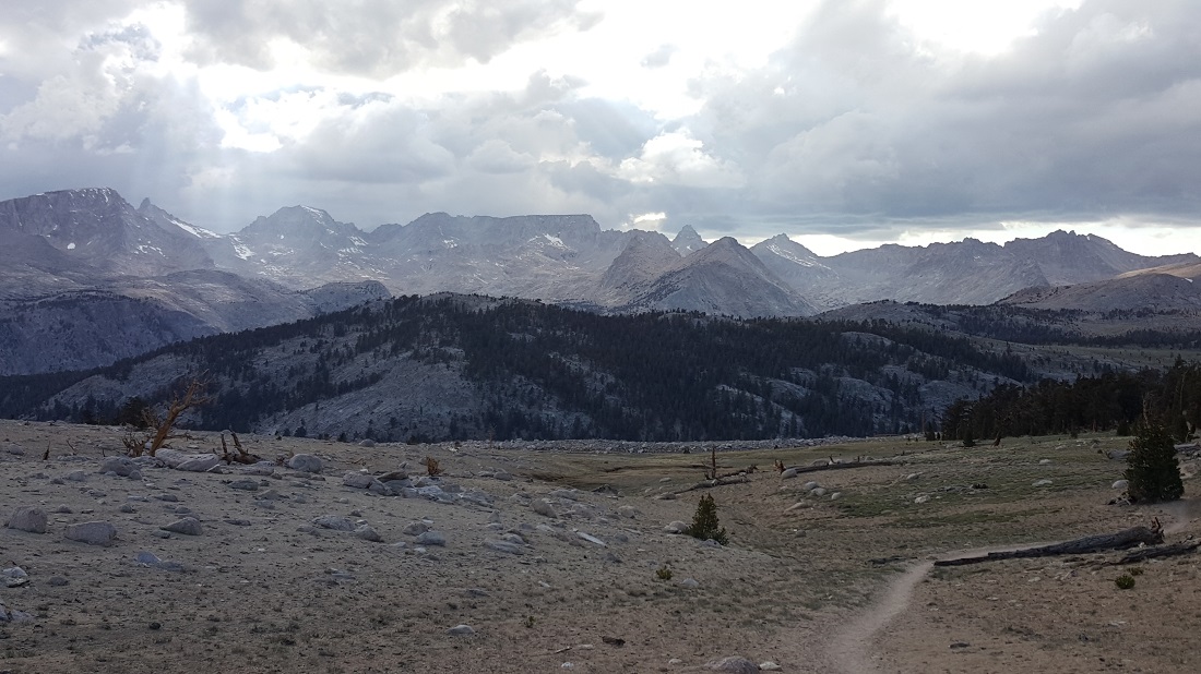
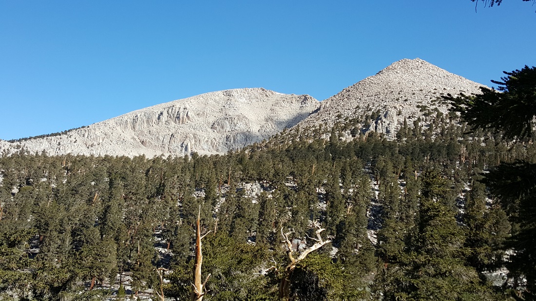
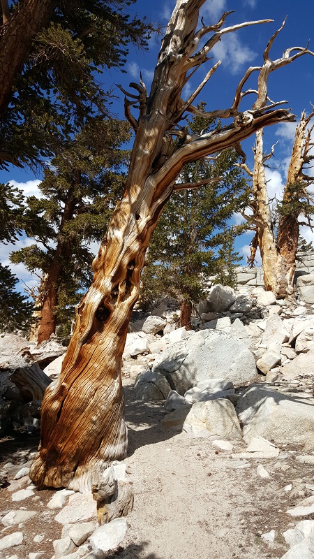
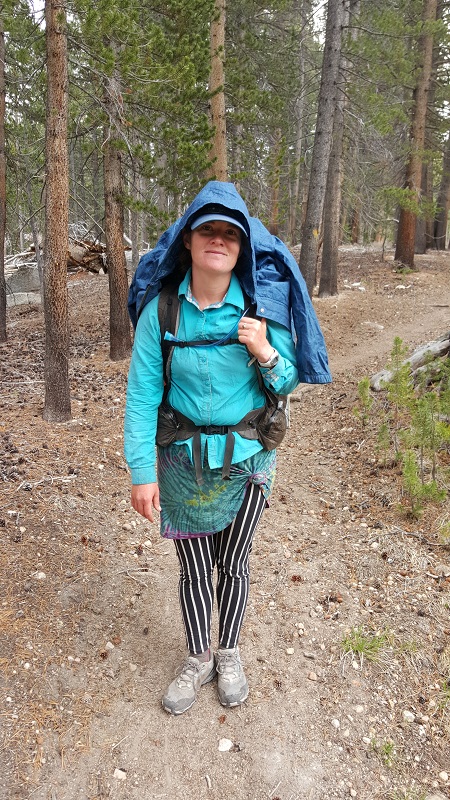
Howly seen midway during our ascent of the southside.


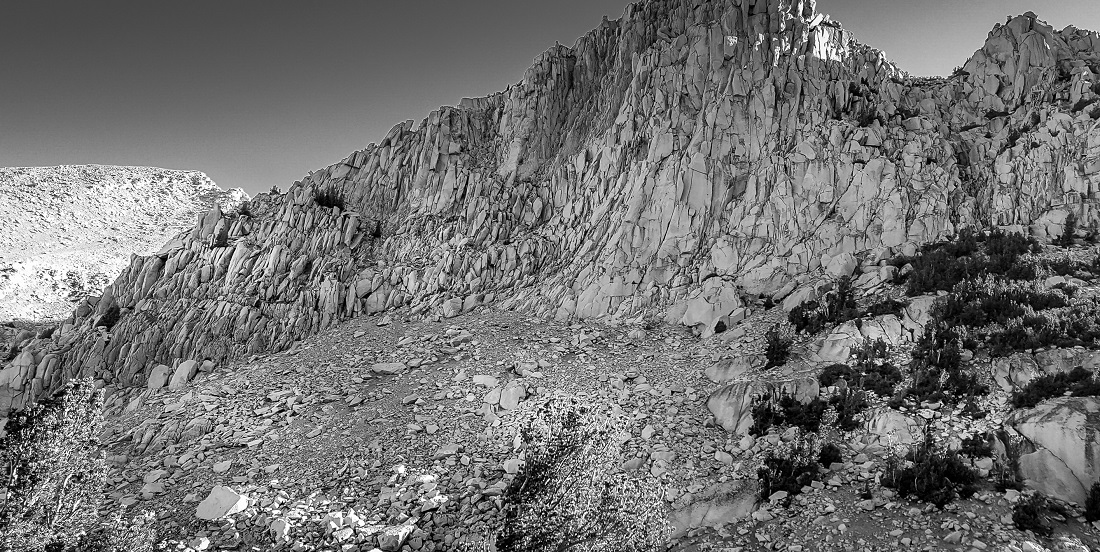
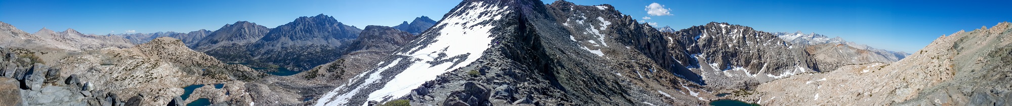
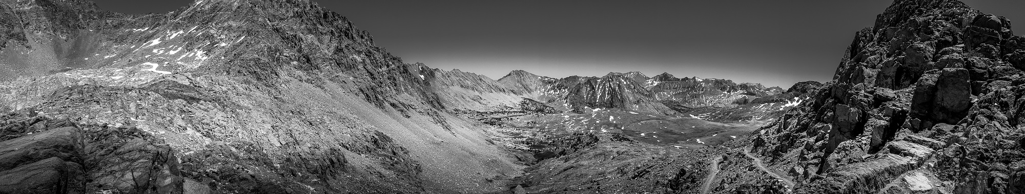
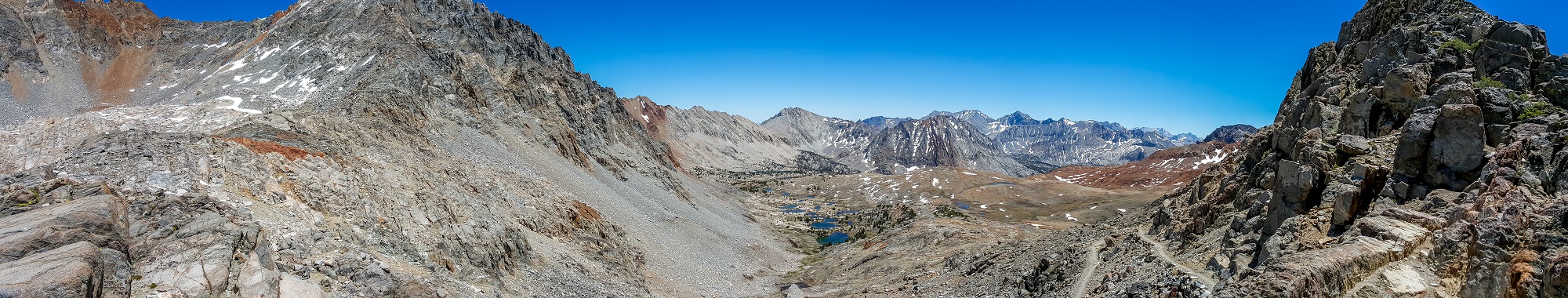
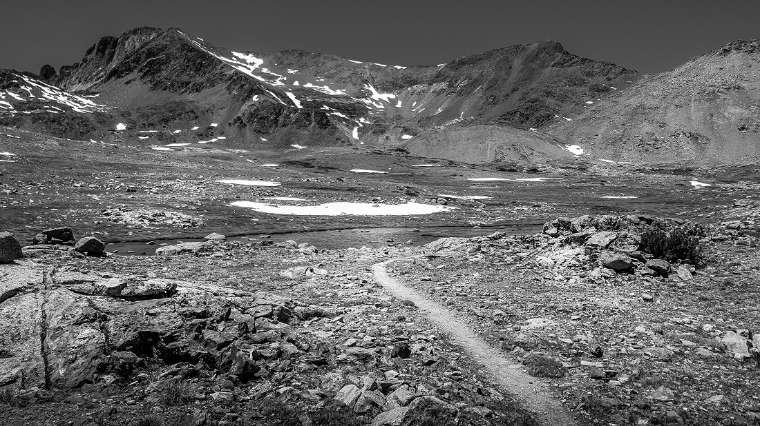
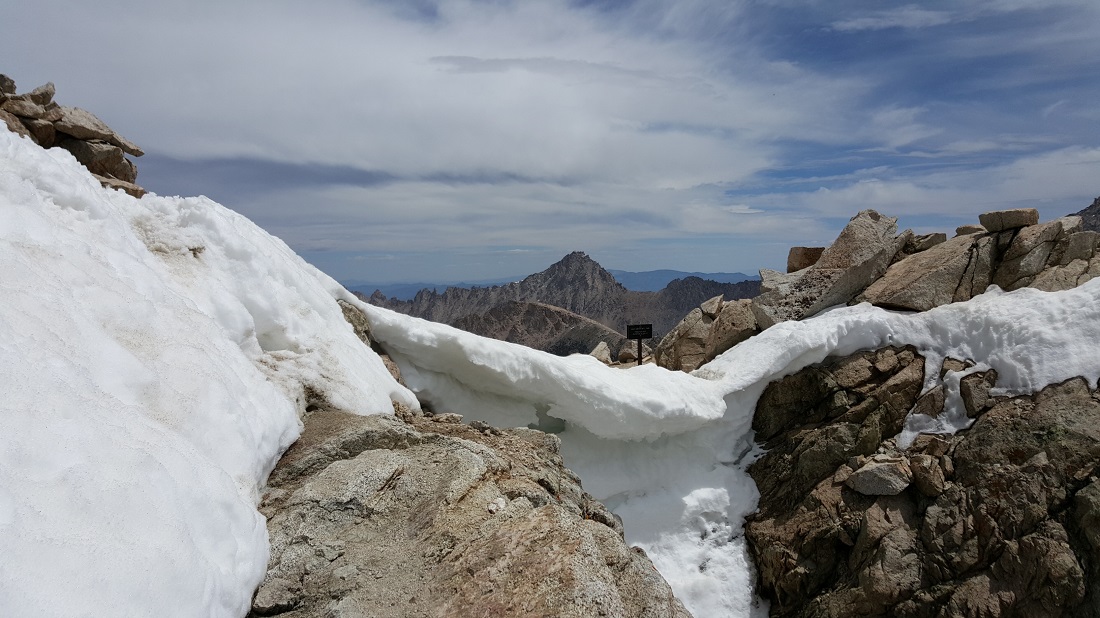
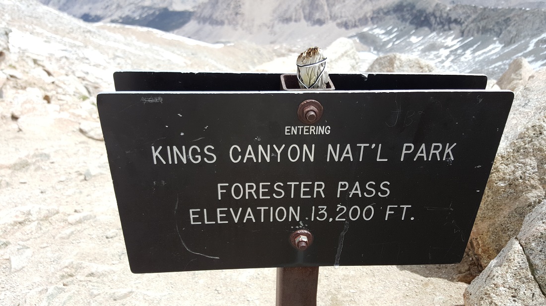
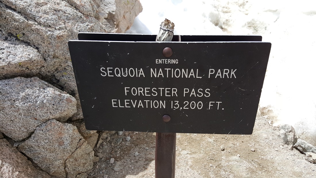
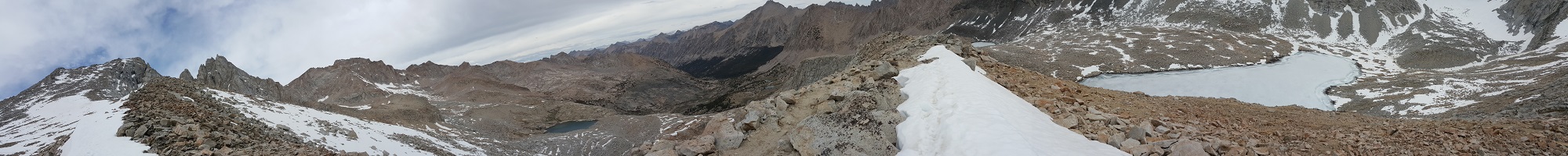
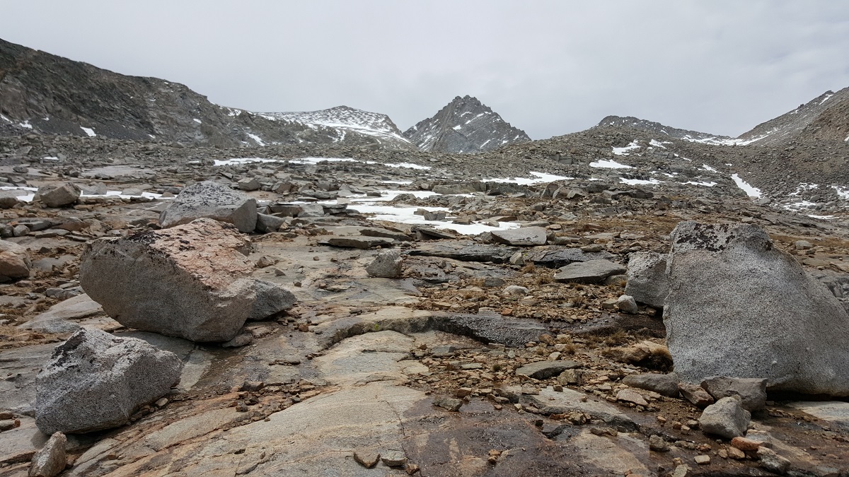
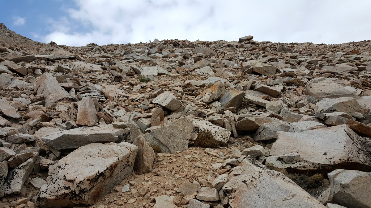
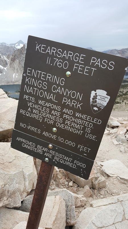
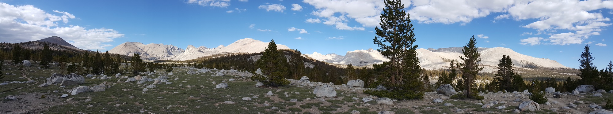
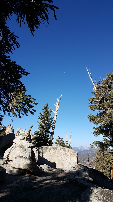
The summit of the pass:

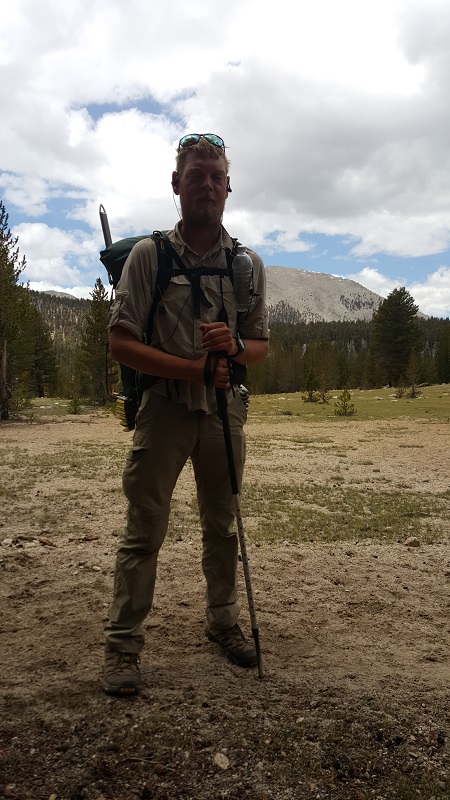
First time the Hawaiian sees snow (joking):

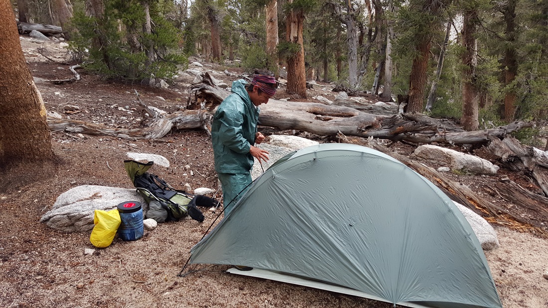
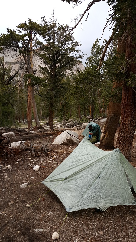
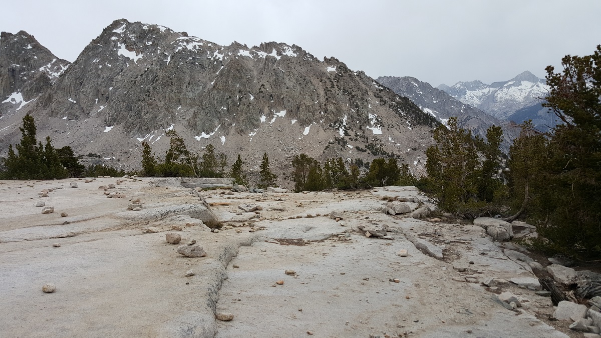
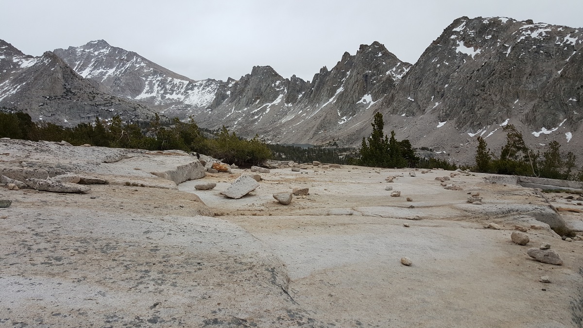
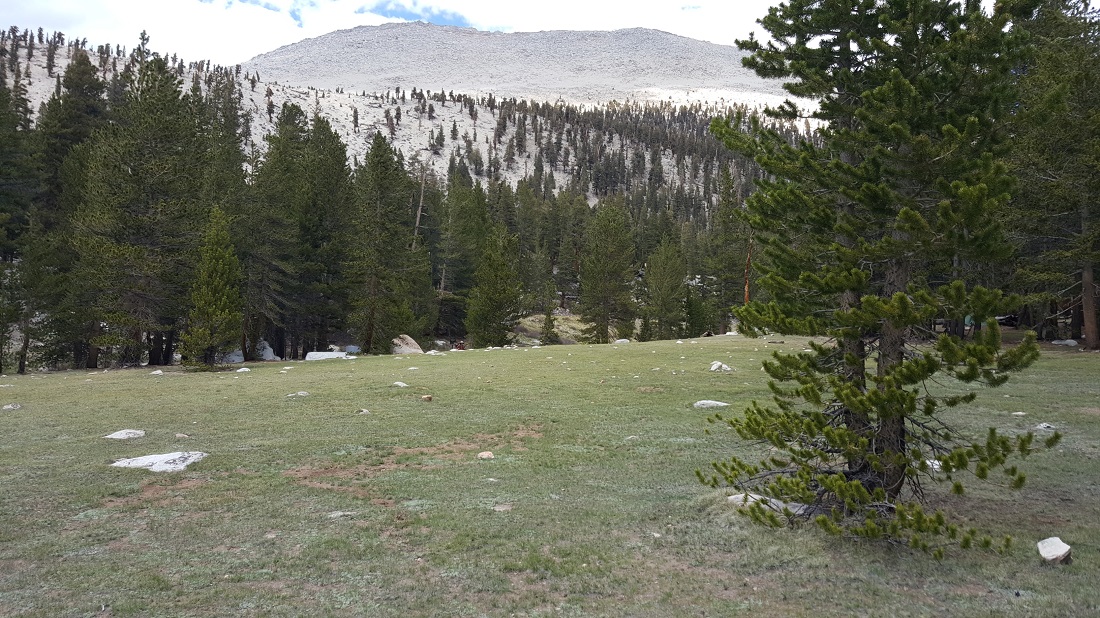
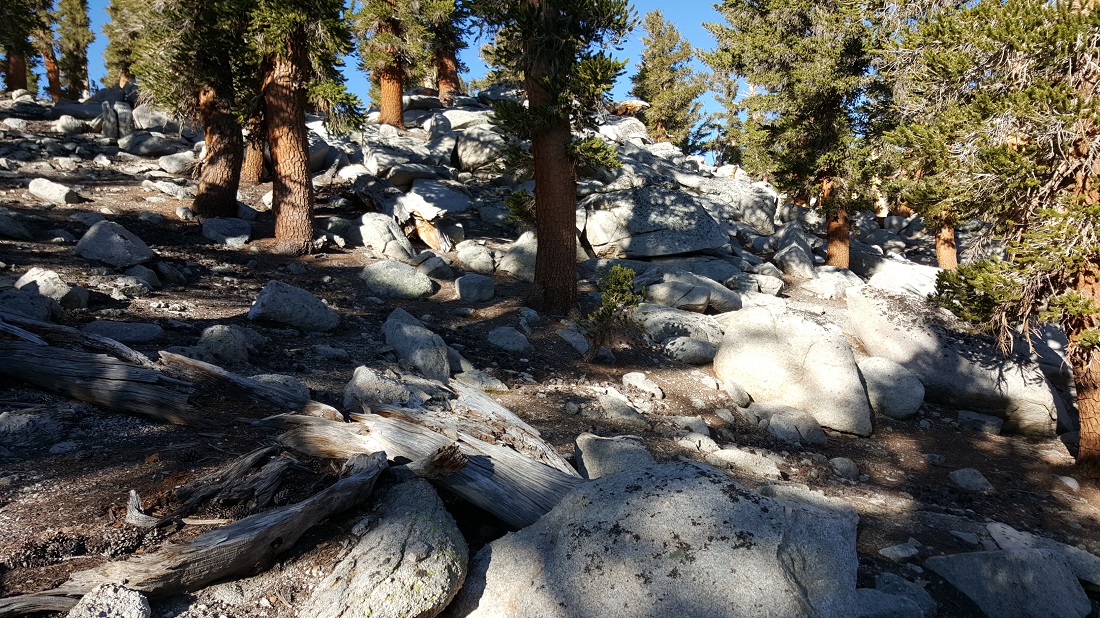
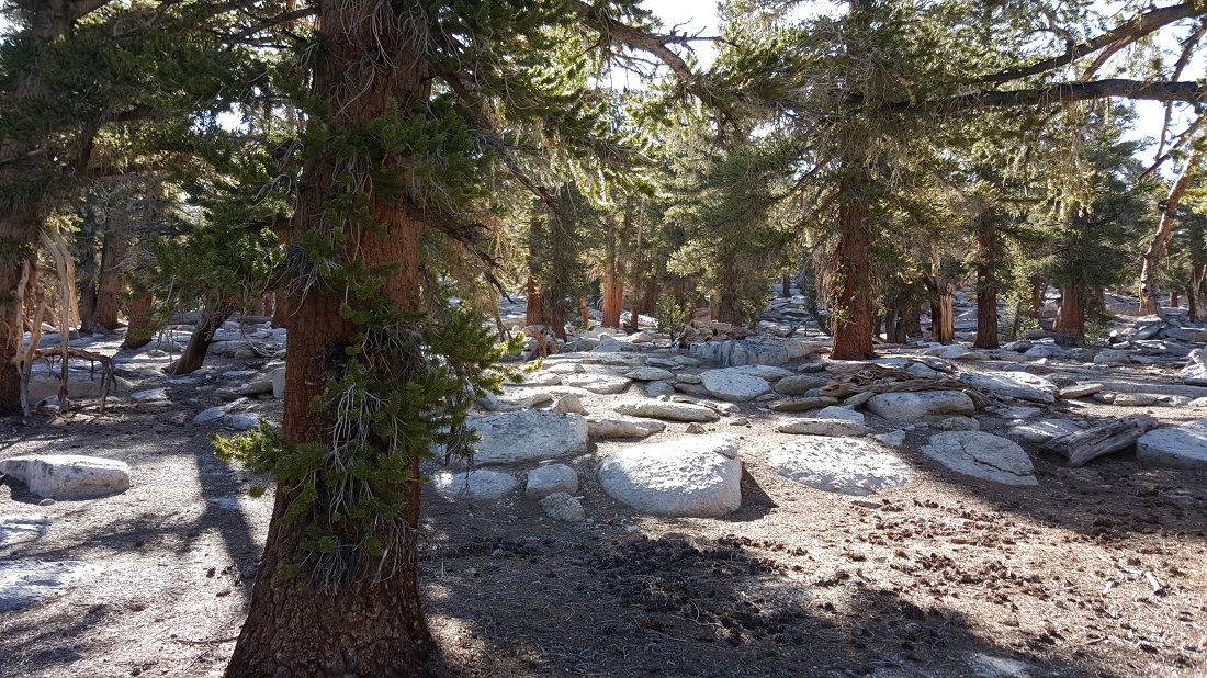
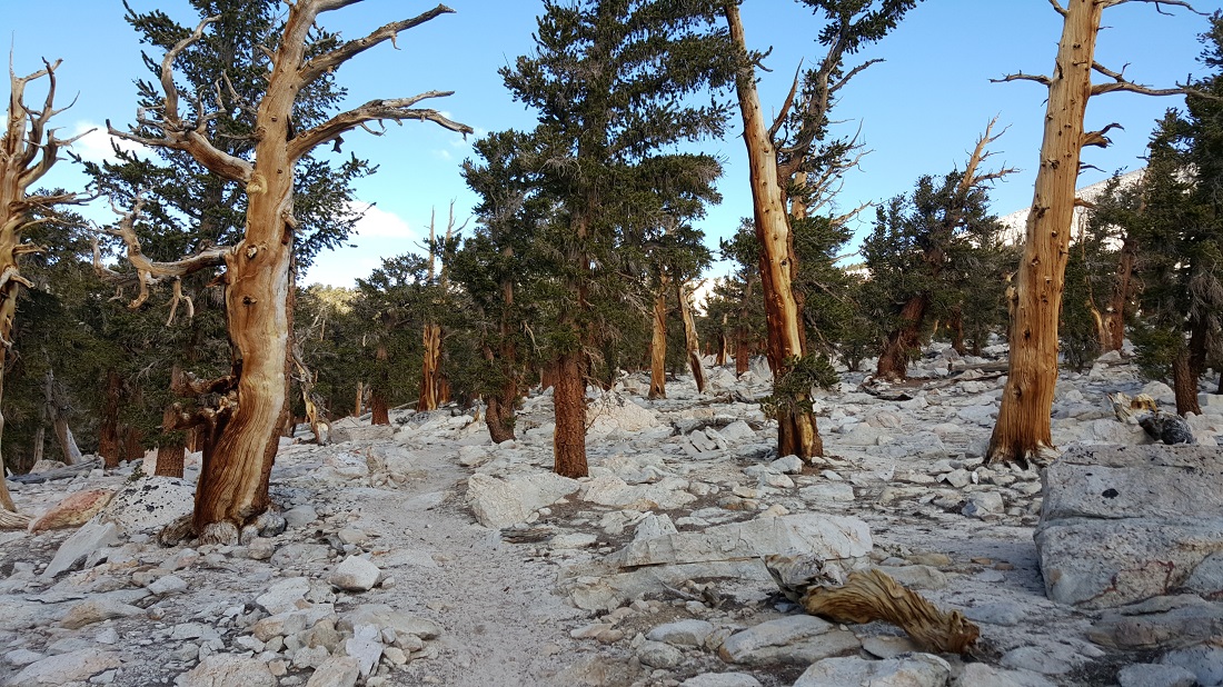
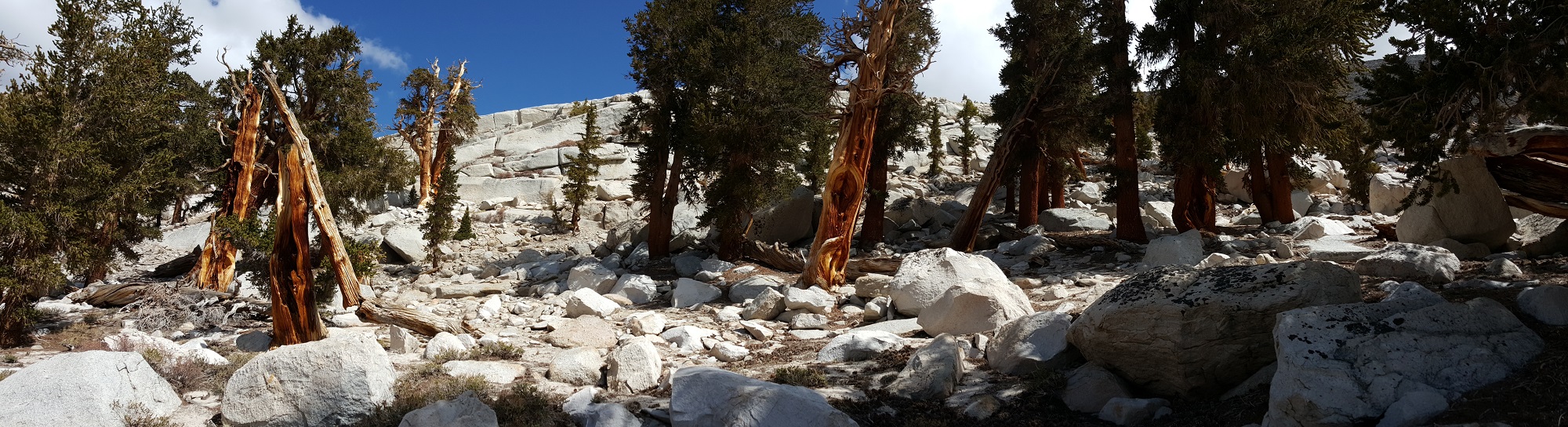
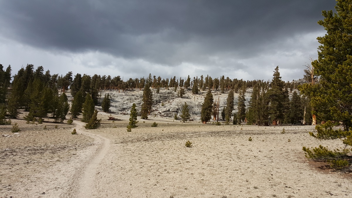
The rest of the day was spent “setting up” for the ascent on the morrow. (ie. We weren’t fast enough to do two passes in a single day, so we would try and get as close as possible to ascend the next pass in the morning.)

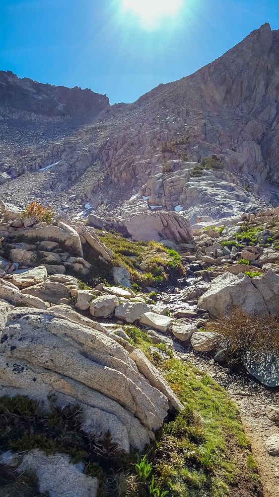
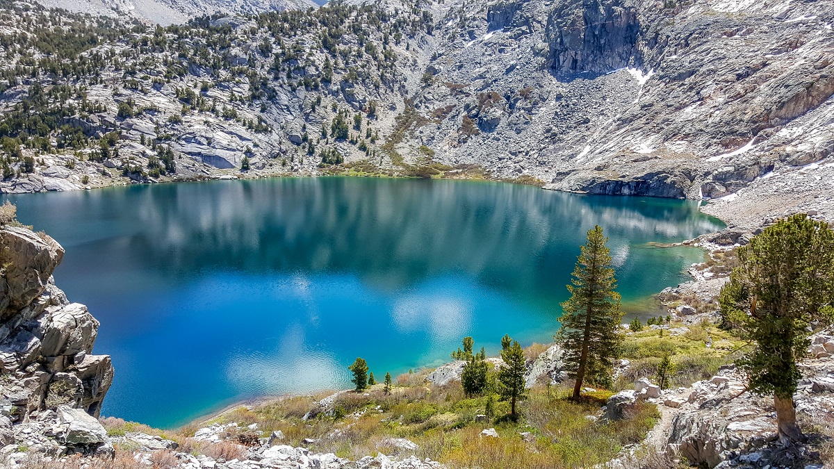
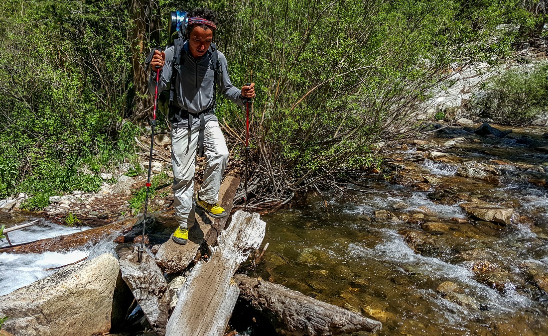
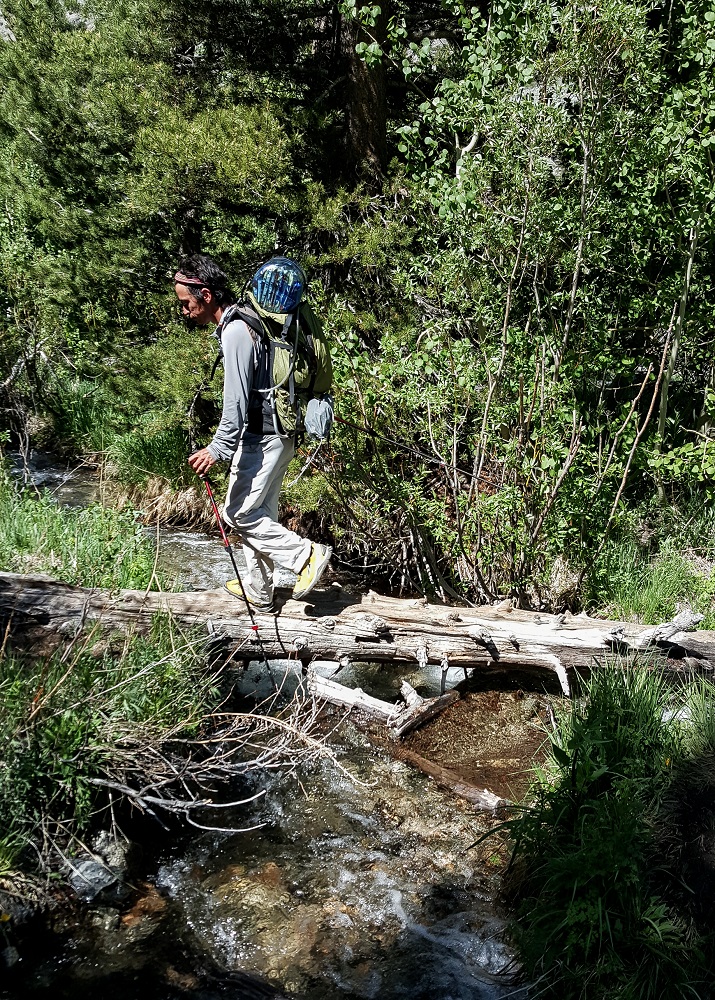
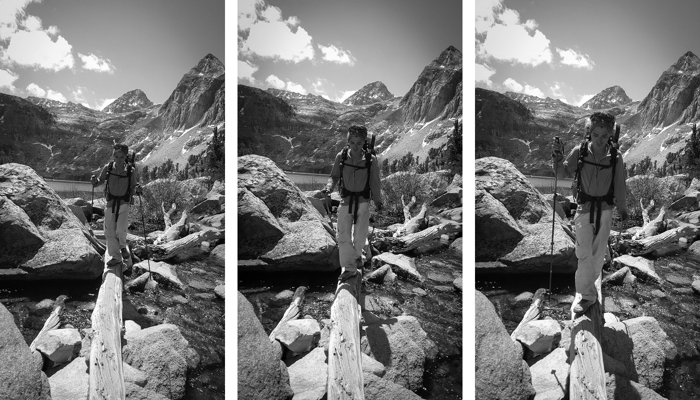
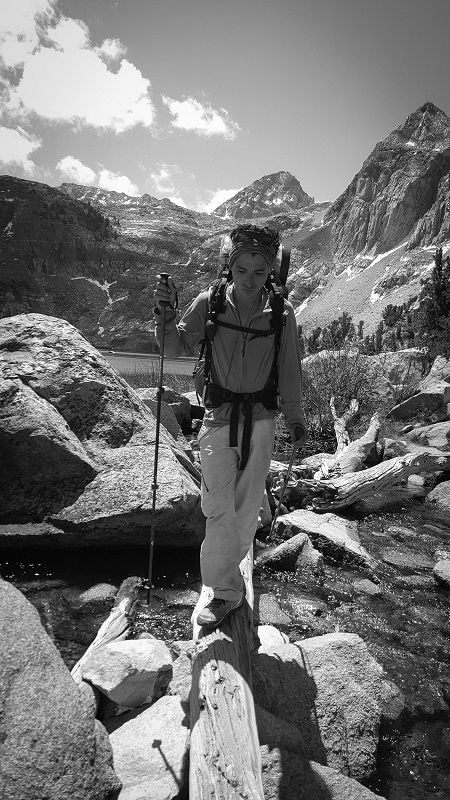
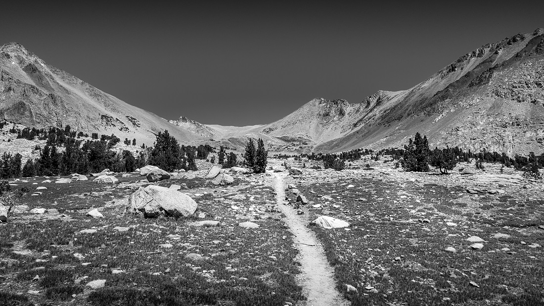
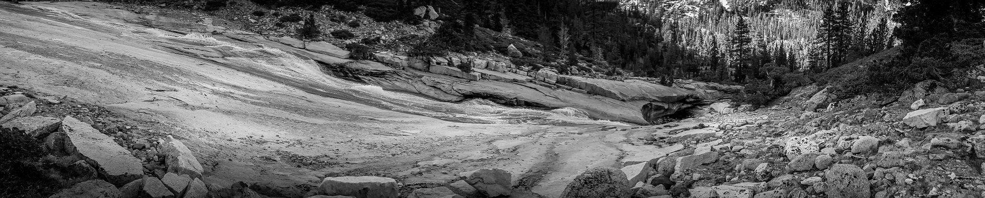
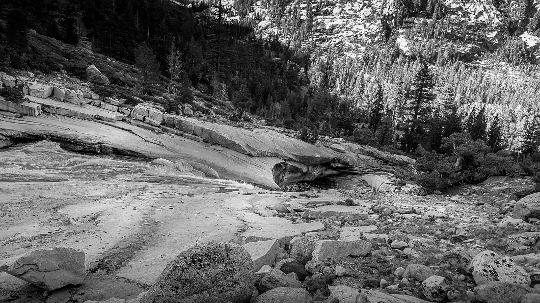
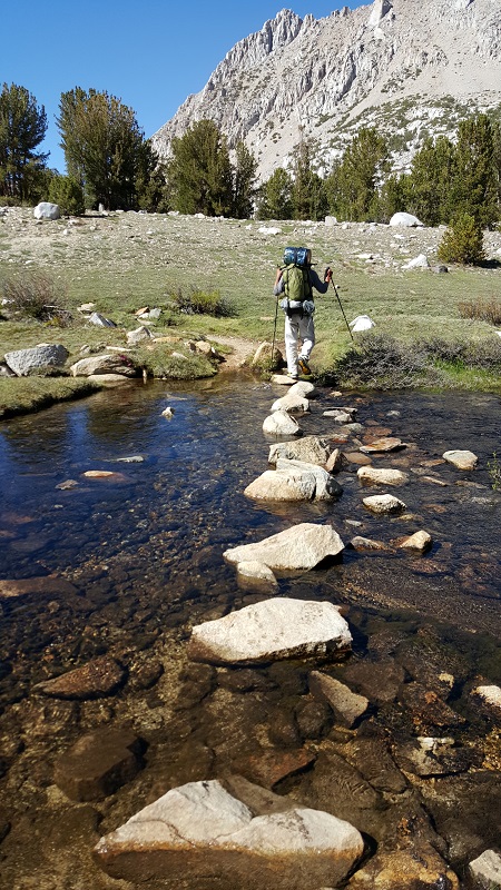
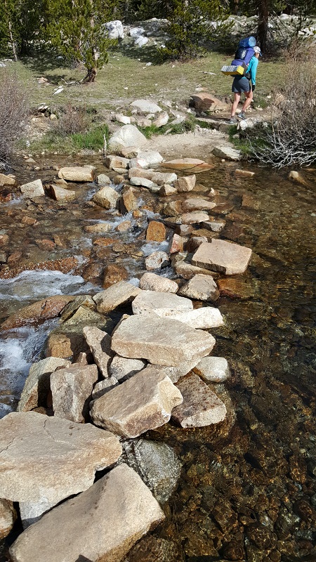
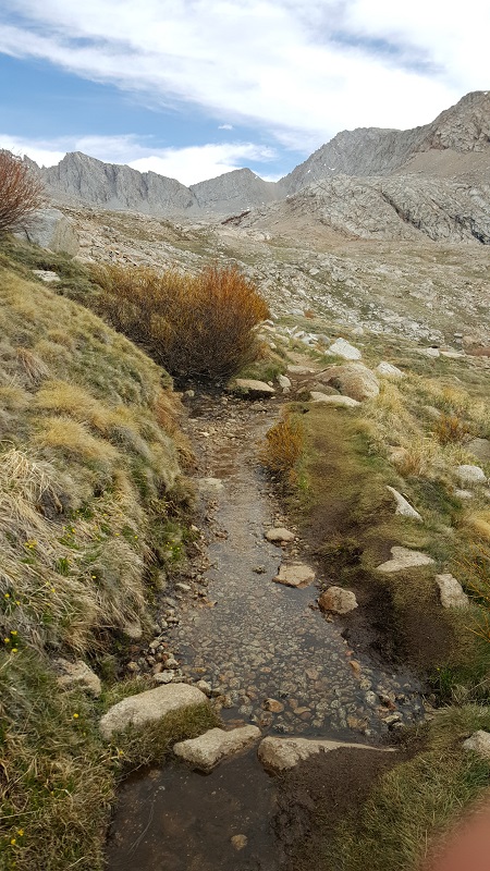
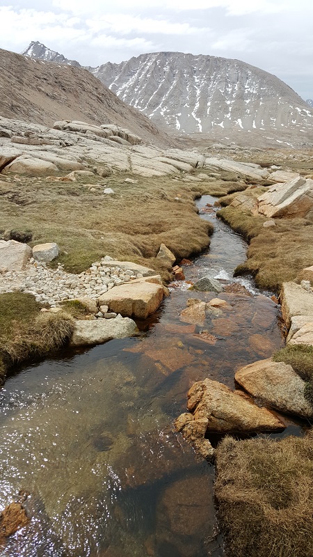
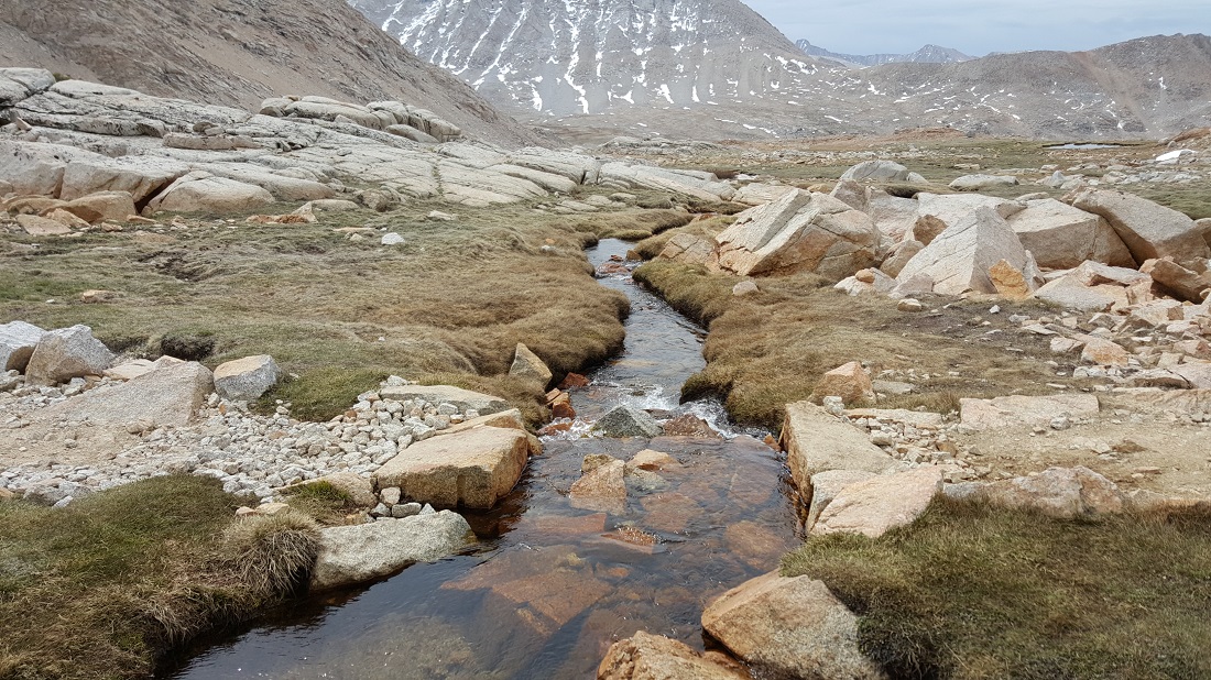
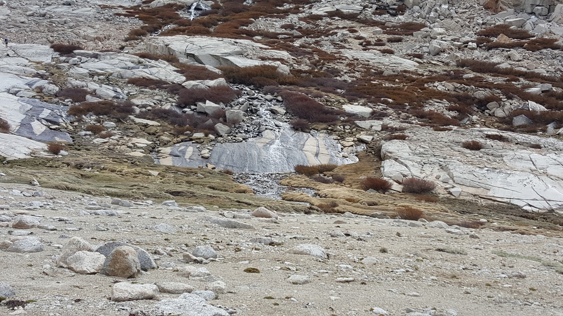
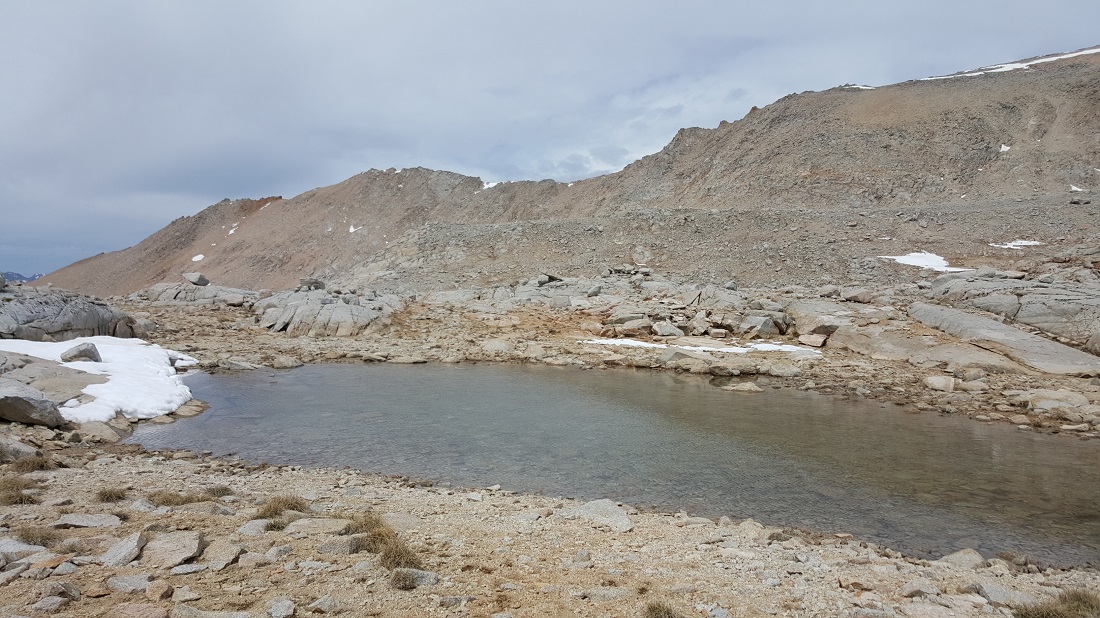
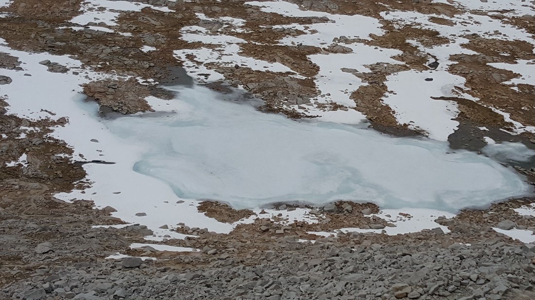
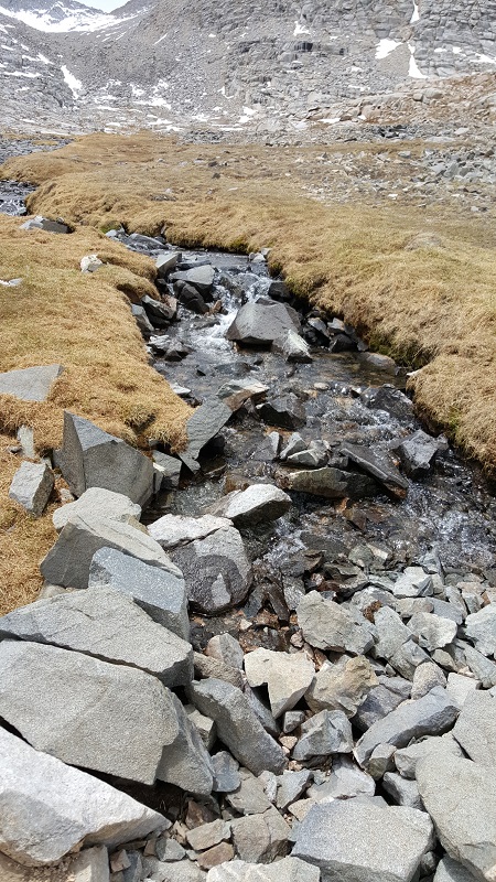
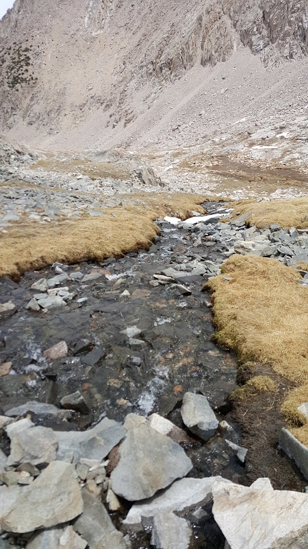
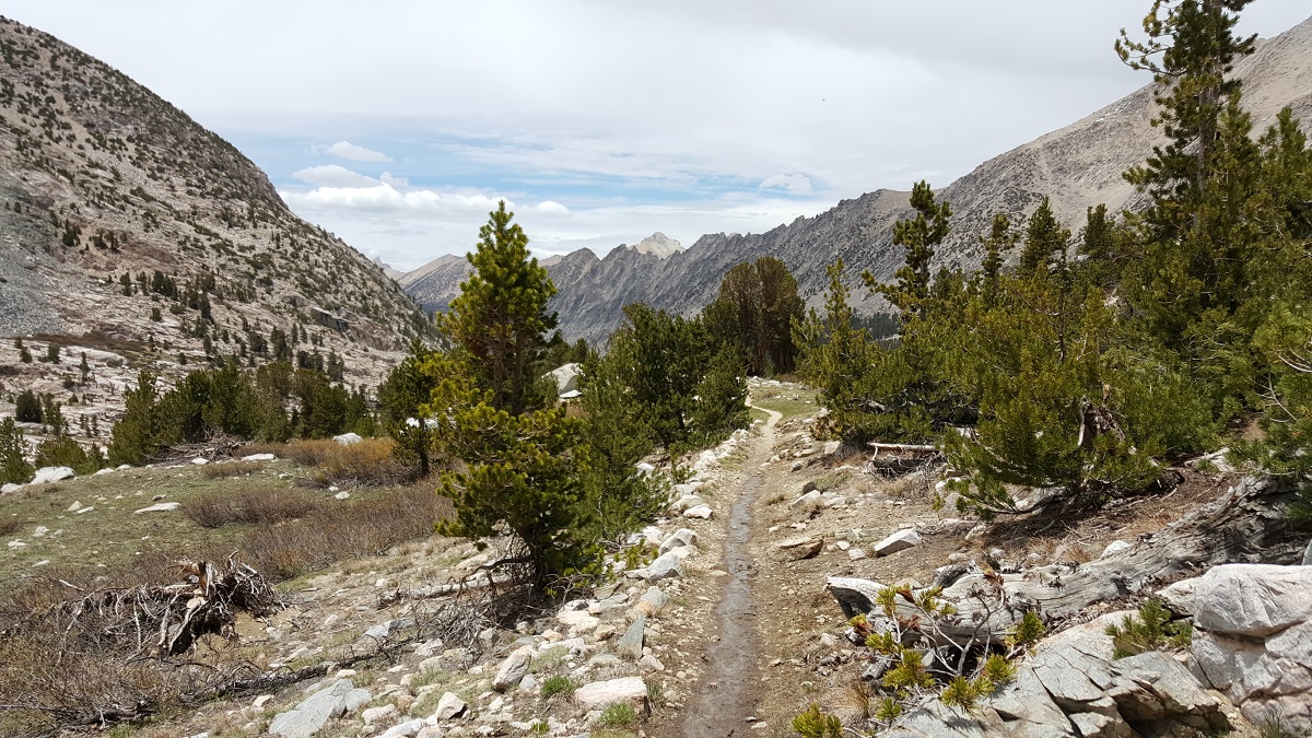
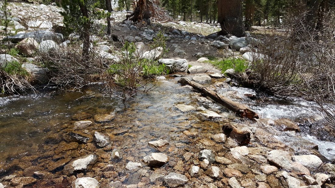
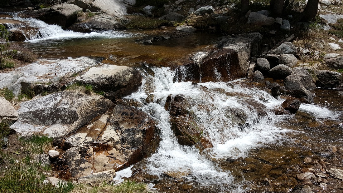
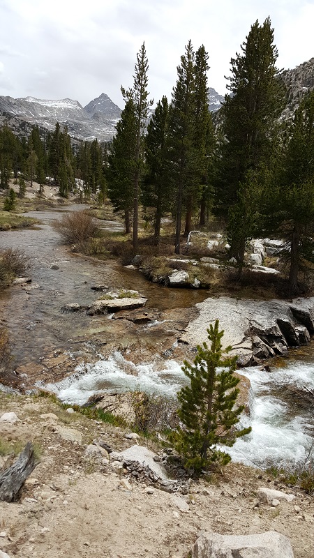
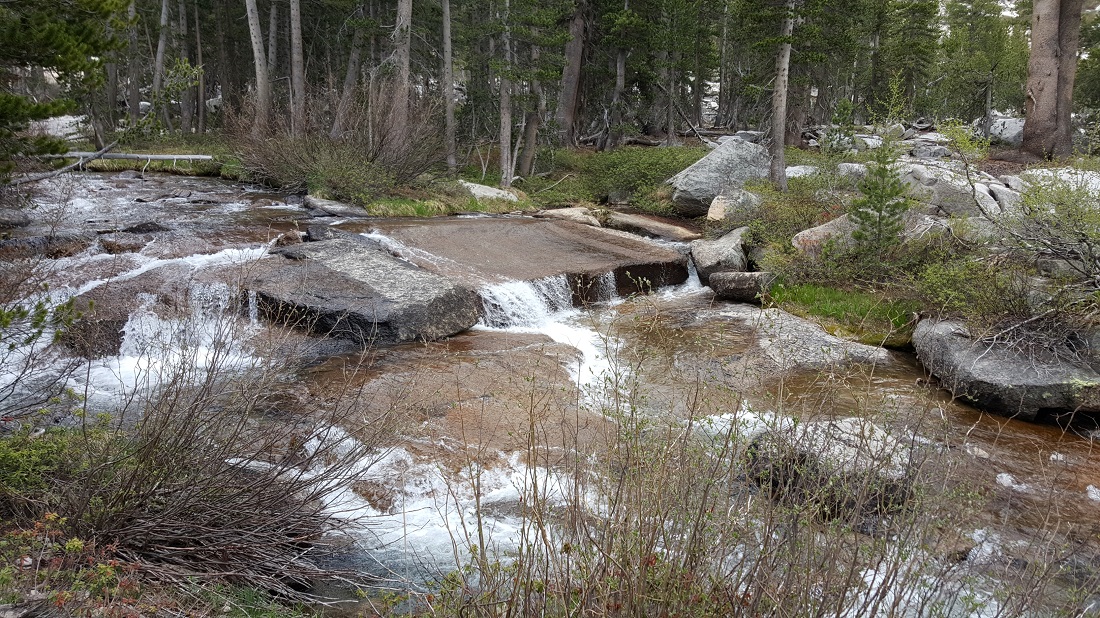
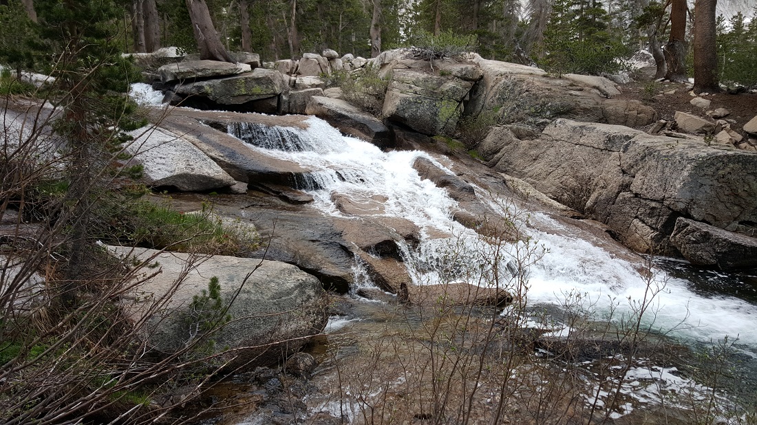
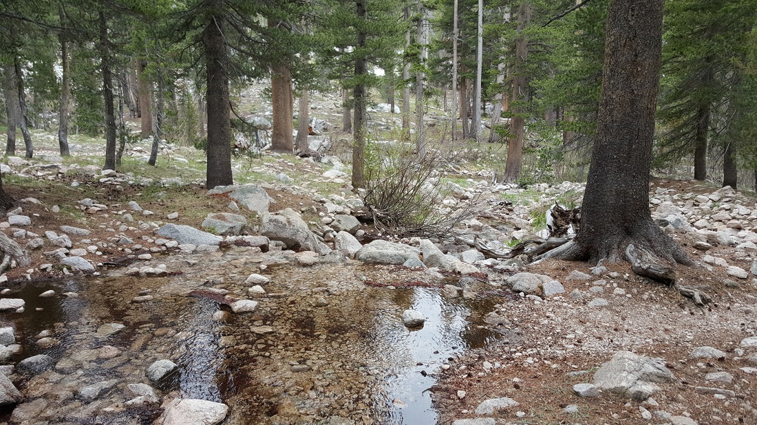
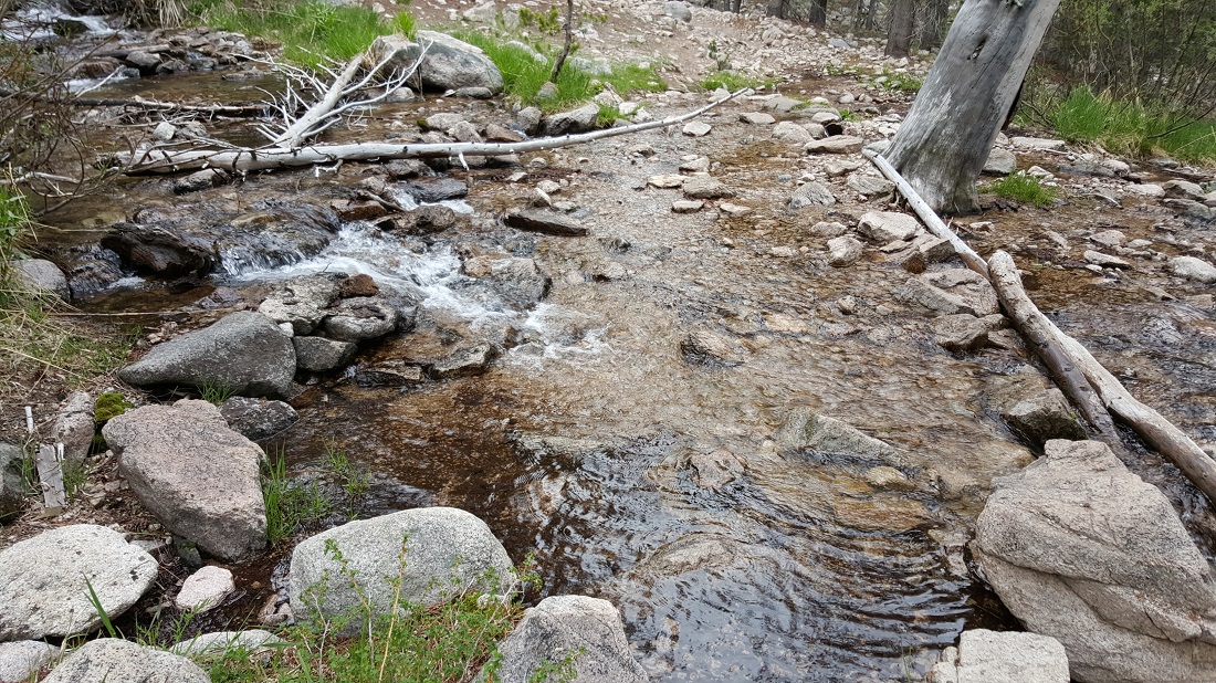
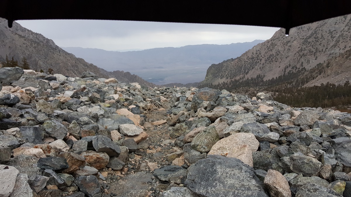
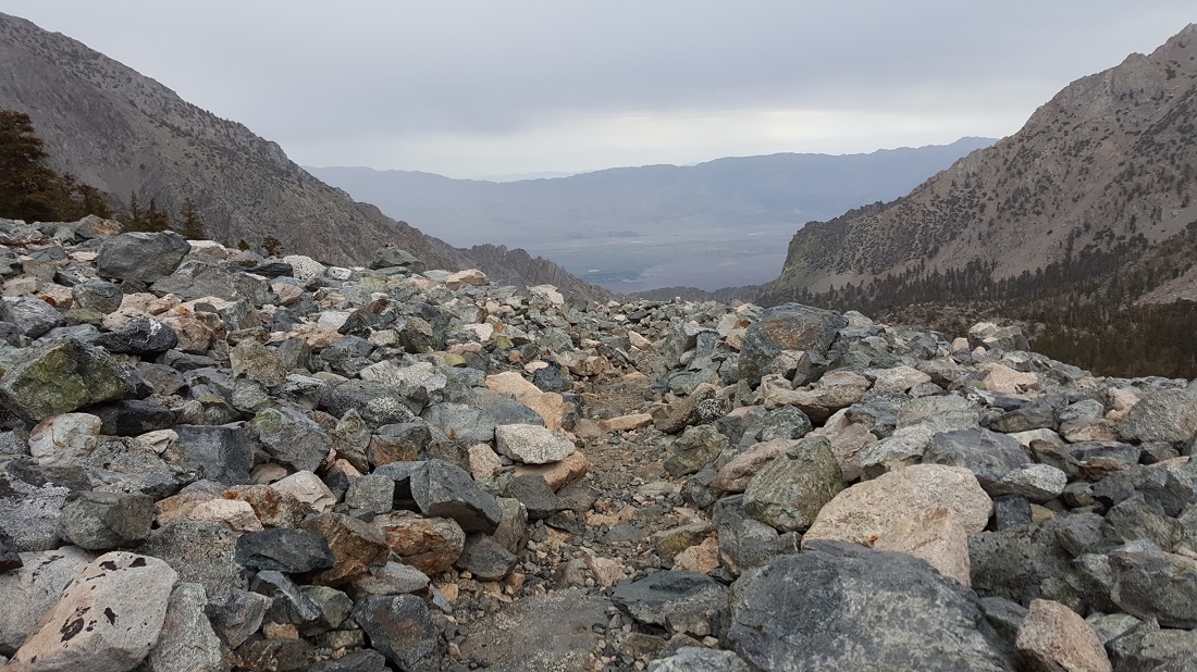
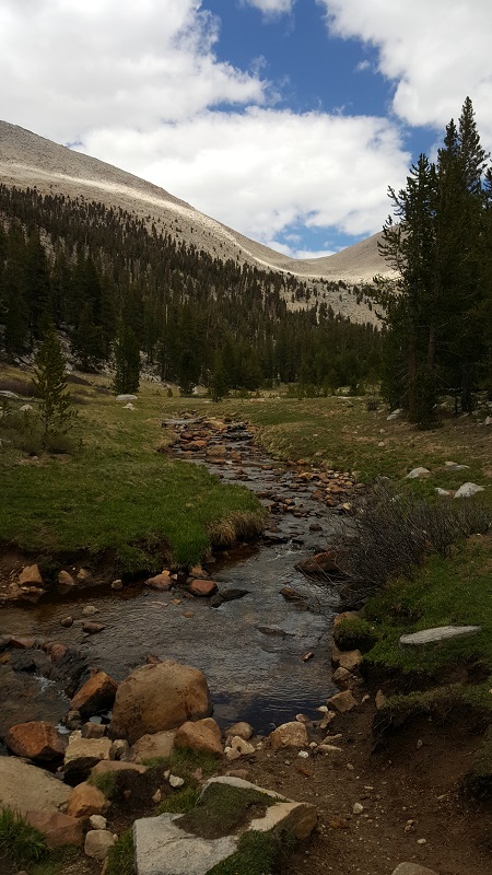
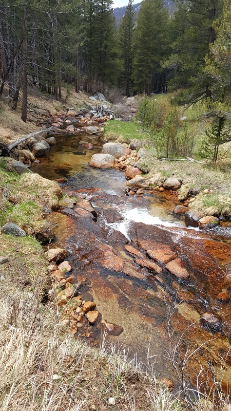
Several examples of the myriad of small water crossings we were constantly encountering. A nice respite from the dry days before.

Howly crossing log - 3 frames

Sierra Crossing Log #3 - B&W

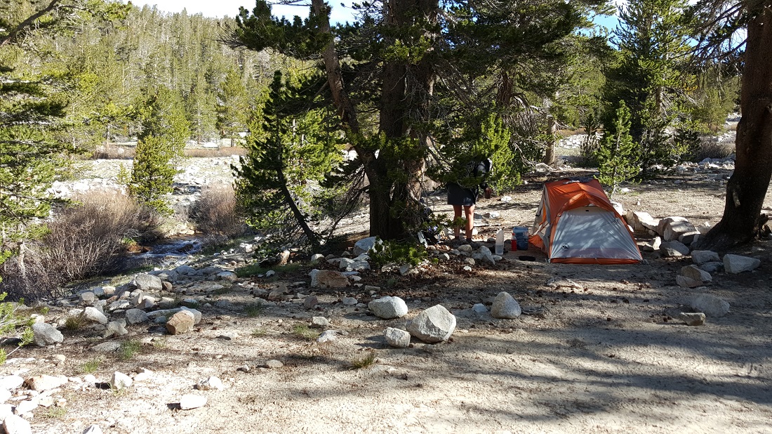
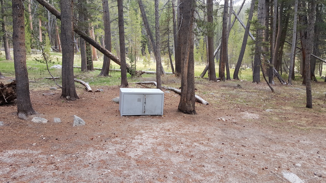
We enjoyed our first campfire of the trail, and met Shuffles and RebelBiscuit, just a skip and a jump away from the mile 800 threshold.


Day 60: Time to get back to work

June 13th
Total mileage: 795
Today’s mileage: 7
PCT-Section-H_788


Howly and I caught a ride to the Onion Valley Trailhead to climb the Kearsarge Pass again. Someone thought it was wise to buy a 6 pack of glass bottled PBR (not me!), so his excellent hiking partner waited for him to consume them. We did the 7 mile trek to get back to the PCT, nearly breaking under our heavy packs. We carried 8 days’ worth of food to reach Mammoth. No sooner did we complete the challenging pass then it began raining and hailing. We quickly got our shelters up and called it an early night.

At times, this pass was a bit steep, as it isn’t rated for horses and mules, as the PCT is. But I think exiting via Kearsarge has harder moments than entering. In retrospect, unfortunately, this is the moment where Howly believes he got a hairline fracture to due to the excessive weight he was carrying.

When Howly adorned the Frogg Toggs rainsuit, he assumed the persona of Froggy Fresh. I can’t explain it.


A man, waiting under a tree for the rest of his party, admonished us quite seriously, “Boys, get your shelters up fast. Bad weather is comin’.” Well…it did. For about 15 minutes, and then it left. And it was only 5:30 or so. And neither of us felt like putting away out wet tents and hiking on, although it was weird to quit with so much daylight left.


EXTRA: Joe Brewer has an excellent video showing this stretch of trail from Kearsarge Pass (Mile 790) To Reds Meadow (Mile 907). I highly recommend subscribing to his channel:

Day 57: A zero in Bishop

June 10th
Total mileage: 788
Today’s mileage: 0!

I’ve showered and am now sitting in the laundromat in my rain kilt and raincoat, heh. We rode bikes from the hostel to the Burger Barn, a much hyped burger joint.

We woke up this morning at 5:30, afraid that the sprinklers would kick in, or we’d get in trouble for vagrancy. (After Tehachapi, one learns quickly to be suspicious of green lawns….) We packed and caught a 6:15 shuttle for an hour long ride to the town of Bishop.

Bishop is wonderful! Plenty of cheap options. Tons within walking distance. I’m sharing a room in the backpackers’ hostel with Howly and Recon.

image

image

Day 56: Forester Pass & Kearsarge Pass

June 9th
Total mileage: 788
Today’s mileage: 21 (counting Kearsarge Pass)
PCT-Section-H_788

We crossed the highest point on the PCT today! Weather was very cooperative. It was a very long day though, mostly due to all the elevation changes. Ran into a Boy Scout troop doing a 50 miler toward Whitney Portal. Here is a brief video showing Sweetums as she reached the summit of Forester Pass. She was kind enough to take several photos of me on the summit.

Honeybadger on our approach to the southside of Forester Pass.

Honeybadger approaching the south side of Forester Pass.

Sweetums on the summit of Forester Pass.

I postholed only a couple of times, where the snow beneath me gave way and I plunged a few feet down on rocks. Unfortunately I instinctly put my knuckles down one time to break my fall. This cut wasn’t too deep, but would take a month to heal because I was always gripping trekking poles.

At this point, we have just left the PCT and have begun climbing Kearsarge Pass. It is a 7 mile trail to Onion Valley Trailhead, where hikers hitchhike into the town of Independence. From there, we will shuttle to the town of Bishop to resupply and rest. Seen here is Snackies.


Approaching Forester - B&W
Honeybadger approaching the south side of Forester Pass.

The landscape was amazing. I took close to 150 photos. The sky was gray the whole day, but it didn’t rain or snow. I felt a bit of anxiety about the entire experience. This day more than any other I was hoping for a close hiking companion. It is remarkable how few people you see out here. If it weren’t for the boy scout troop, I could have counted everyone on both hands. I also felt a palpable urgency to get off the summit, only moments after having reached it. Your view goes for miles and miles, and the pressing thought is, “I have at least 7 hours of motion to go before I am in tree cover or have some level of shelter from the elements.”

I met a new hiker today, named Howly, which is slightly ironic given that he is from the big island and not a “haole” in any regard, hehe. Howly and I reached the Onion Valley Trailhead with about 10 minutes of daylight left, and we were very fortunate to catch a ride with a local geology teacher to the town of Independence. The town has a Subway sandwich shop and a Chevron. And that’s it. I was able to order my sandwich just moments before they closed. Everyone bought 6-packs at the Chevron next door and we sat outside and enjoyed our libations in the Subway parking lot. Occasionally, large semis barreled down the main drag through town, but it was otherwise eerily vacant and quiet. We are camped right now like some bums on a park there. Taking a shuttle to Bishop in the morning.

Forester Day - B&W

Kearsarge Summit #1 - B&W
Howly on our second pass for the day.

Honeybadger on our approach to the southside of Forester Pass.

The Kearsarge Pass is a 7 mile detour from the PCT, which most hikers take to return to civilization to resupply. While the PCT is rated for horses and pack animals, Kearsarge is not; meaning it has a steeper grade at times. It wasn’t too steep though, just exhausting because the day was already so long.

I reached Subway only 5 minutes before closing. Had a terrific reunion with Swiss hiker, Recon, whom I hadn’t seen for days. I was absolutely unable to make decisions. I asked the sandwich artist to make it as they would for themselves. It was a pretty wet mess. Drank 4 or 5 refills of Coke, though.
image
Howly, Recon and I spent the night on a green lawn in the town of Independence. We weren’t certain whether it was a public park or not, and the grass was green enough to suggest in-ground sprinklers. Howly asked if I snored. I said “no,” to which he replied “good.” Moments later, we heard snoring coming from his tent.

Day 55: An on-trail nero

June 8th
Total mileage: 774
Today’s mileage: 10
PCT-Section-H_774

Oh, Canada, Where Art Thou- - B&W

Well, unfortunately Whitney didn’t happen for the Husk. It isn’t technically the PCT, but it is a 16 mile side day trip that most hikers attempt.

The night before, I got caught in an hour storm of rain and hail on my way to Crabtree Meadows, the setup spot prior to summiting. My safety/night clothes were dry within my pack, but my “work” clothes were hosed, even with a raincoat and umbrella. I just didn’t have it in me to get up at 3 am and begin a very cold ascent. I think I made the right decision, given the circumstances. There was no way to get stuff dry in time. No fires permitted above 10,000 ft.

My friends, Snackies, The Jesus and Honeybadger made the summit in 3 hours. They were super glad they did it, but said it was freezing the whole way up, and a little bit sketchy on snow in some areas. They returned with some beautiful photos.

I had a much needed day of recovery and did laundry in a zip lock bag, heh. We pushed on another 10 miles in late afternoon to be set for Forester the day after.


A surreal moment. We spoke with each other a few minutes before he realized we’d both met on Day 1 at the US/Mexico border! Neither of us recognized each other at first due to beards, weight loss and all around grime. (Photo of him from Day 2) He has changed his trail name from Miles to Highwater. He was camped here with Fancyfeet and Cobain.


EXTRA: Joe Brewer has an excellent video showing his Mt. Whitney Extravaganza. I highly recommend subscribing to his channel:

Day 54: Preparing for Whitney

June 7th
total mileage: 766
today’s mileage: 21 (+ 1.2 to ranger station)
elevation: 10,500
PCT-Section-H_766

If all goes according to plan, we’ll stash half our gear and attempt to summit Mt. Whitney tomorrow.


Marmots were everywhere. Adorable.

Snackies had the right system. Notice his empty bear canister, with all his food packed as normal in his pack. Much better idea than loading the canister vertically within your pack.

Taxi, another Seattleite. Last time I’d seen him was Day 15 in Idyllwild.


One of the first bear boxes of the trail.


EXTRA: Joe Brewer has an excellent video showing this stretch of trail from Trail Pass (Mile 745) To Kearsarge Pass (Mile 790). I highly recommend subscribing to his channel: