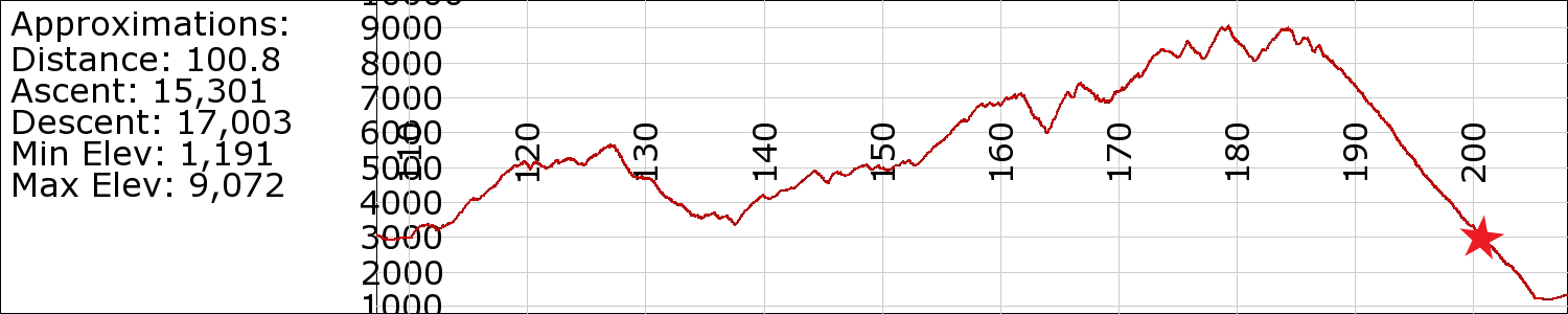
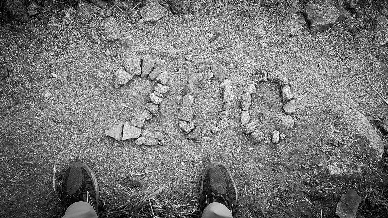
April 30th
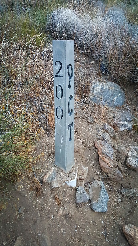
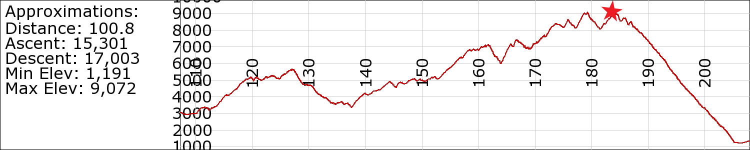
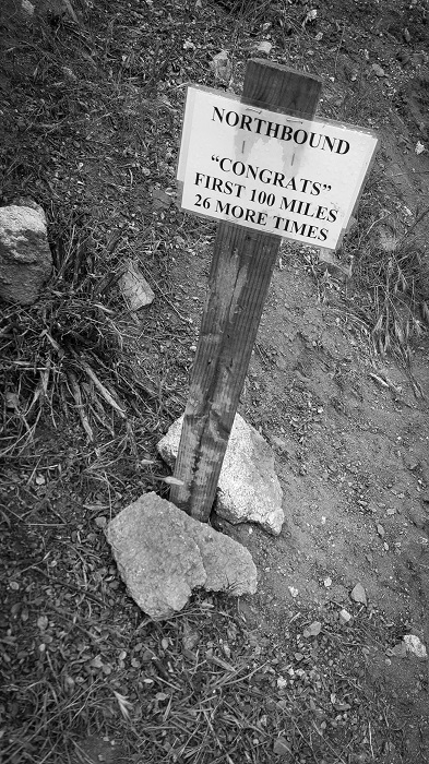
PCT mile: 201
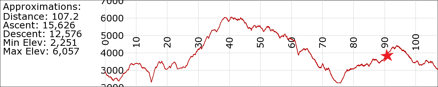
Today’s mileage: 19 (Near summit (mile 183.8) down northern escarpment (mile 201))
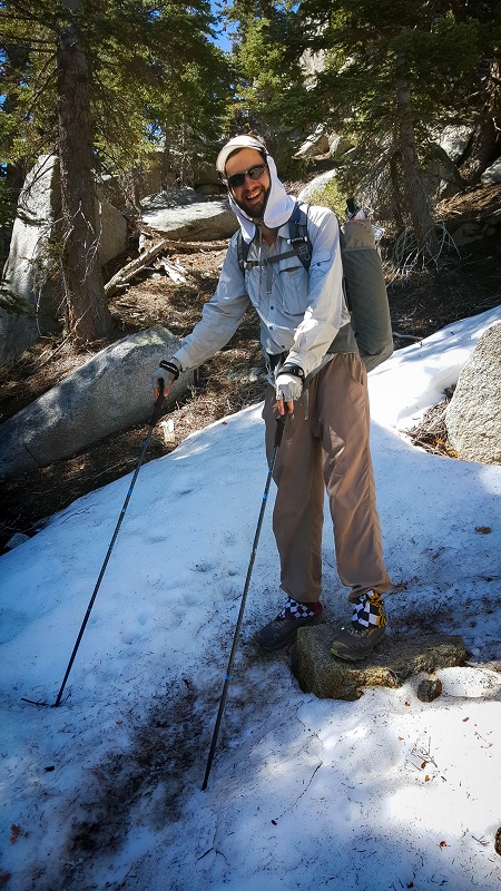
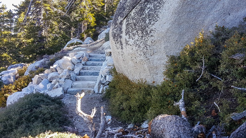
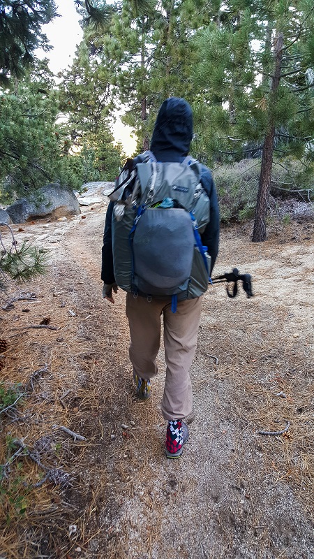
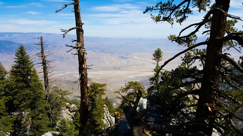
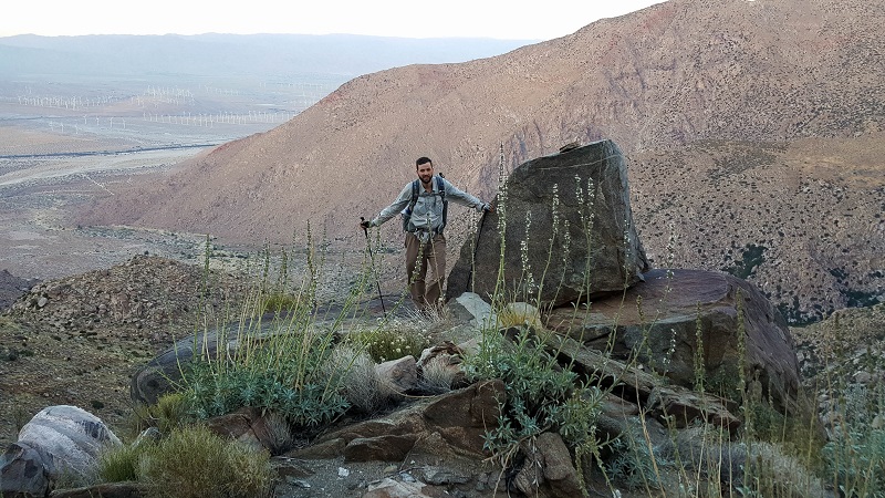
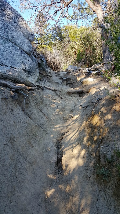
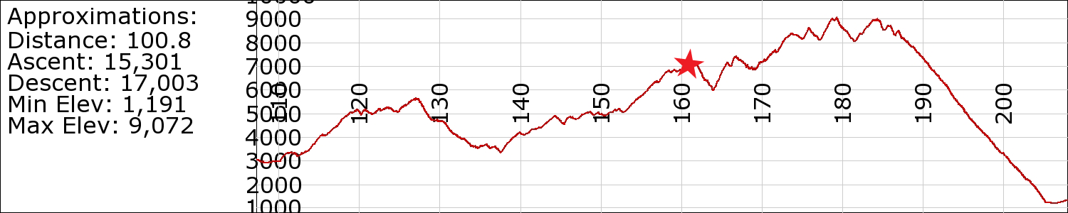
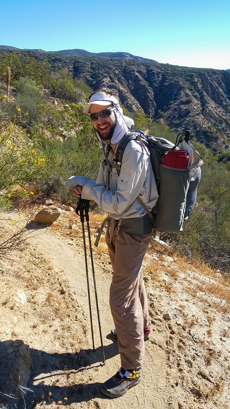
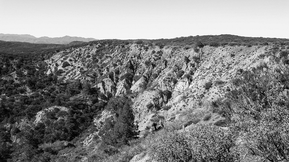
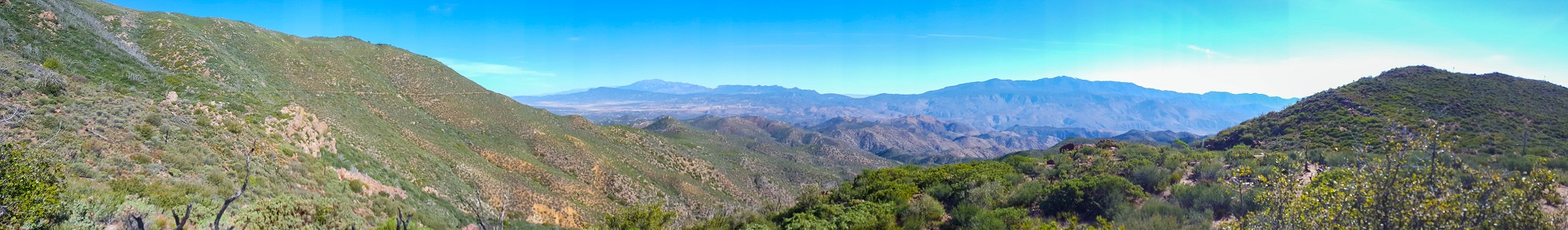
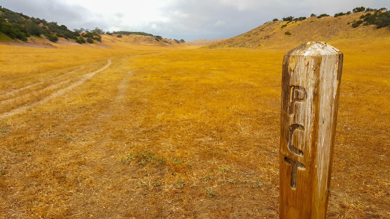
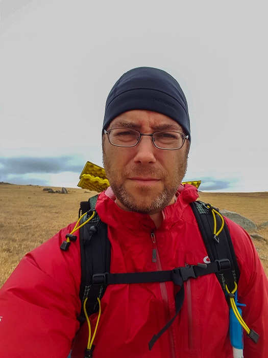
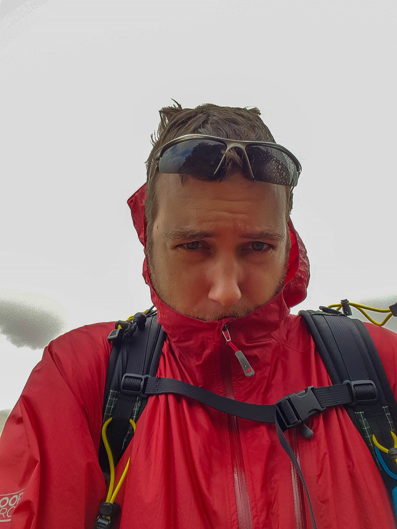
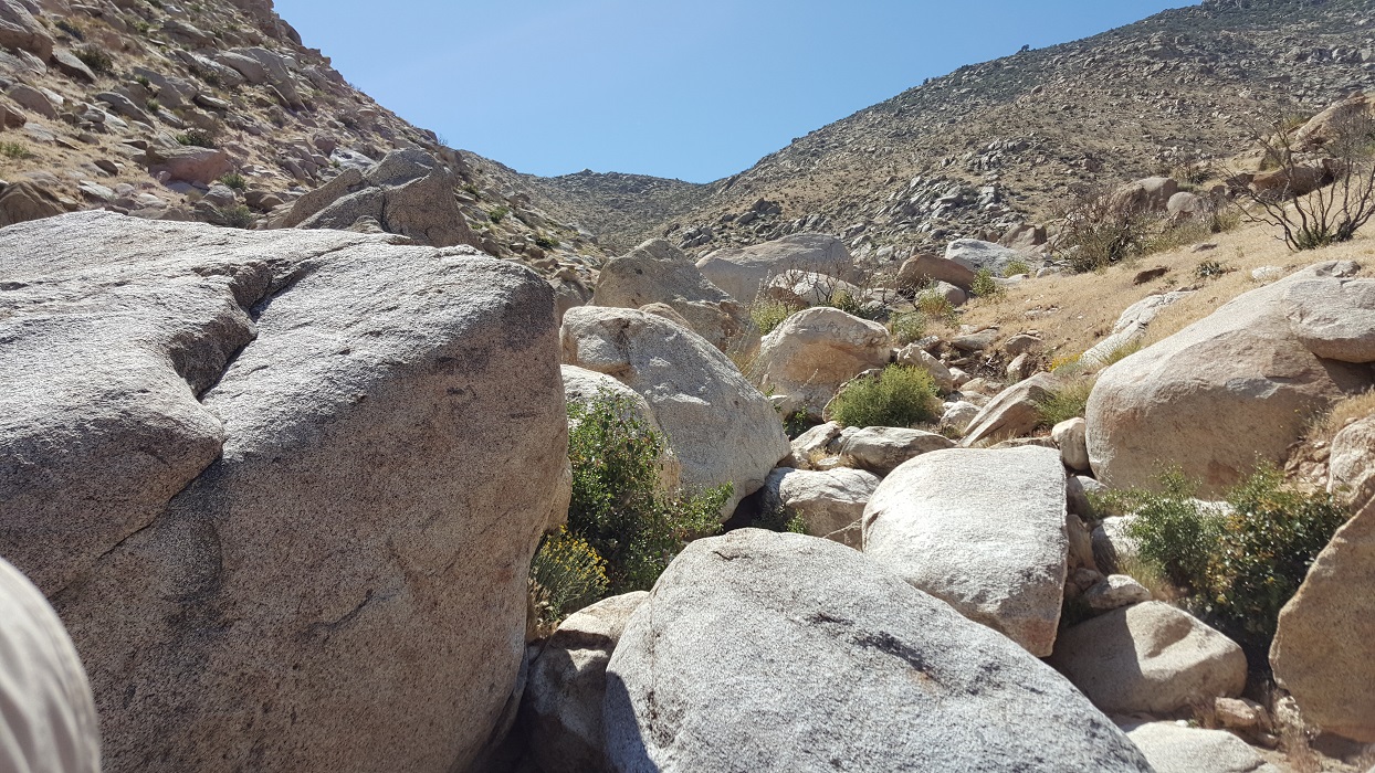
Lots of large black ants last night, but not a big deal. Haven’t seen any sign of large predators. We walked through our first snow today. It was a 20 mile dry stretch down, down, down. One of the sharpest escarpments in the US, supposedly.
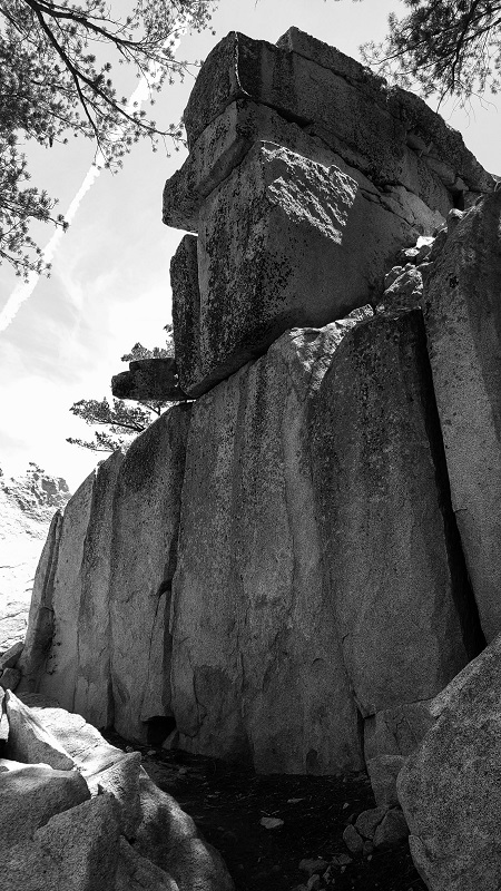
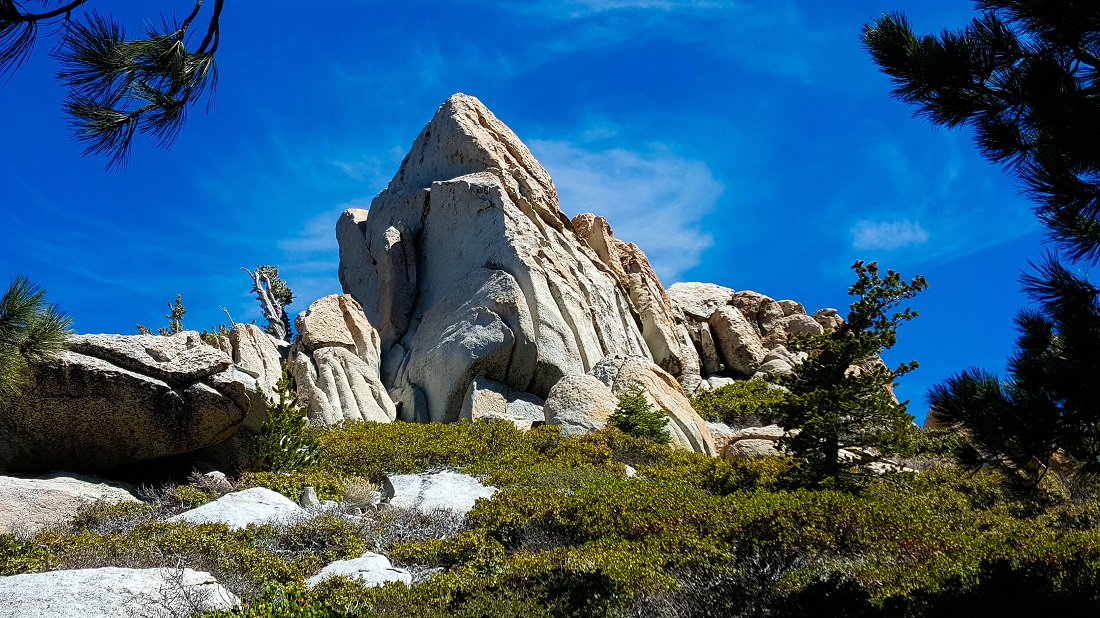
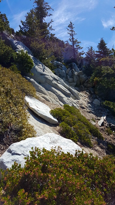
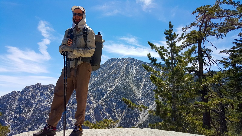
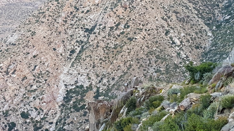
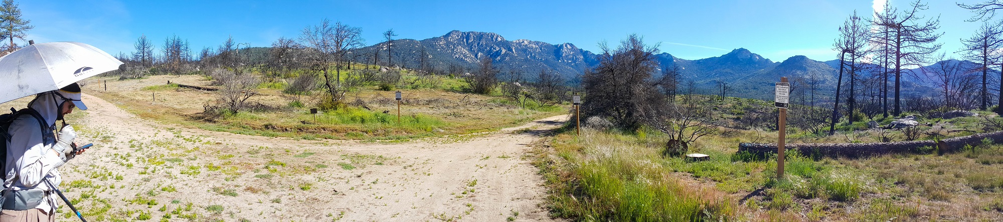
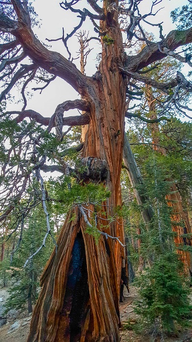
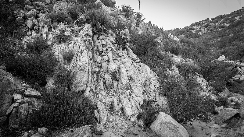
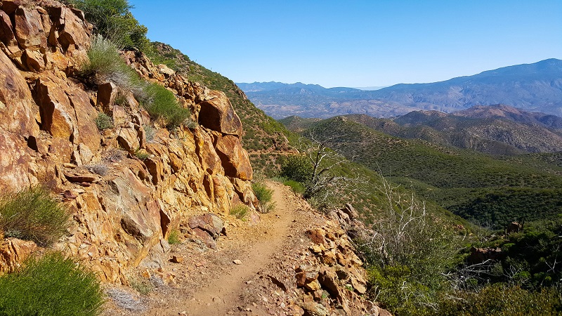
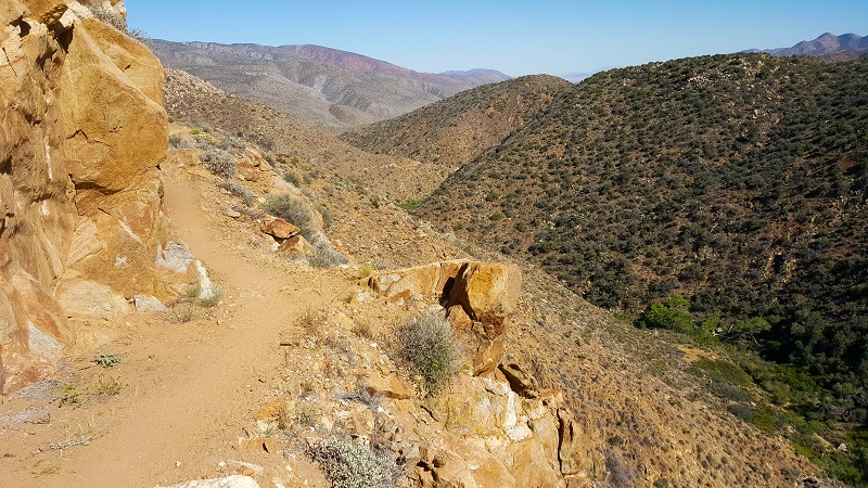
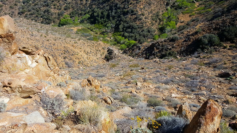
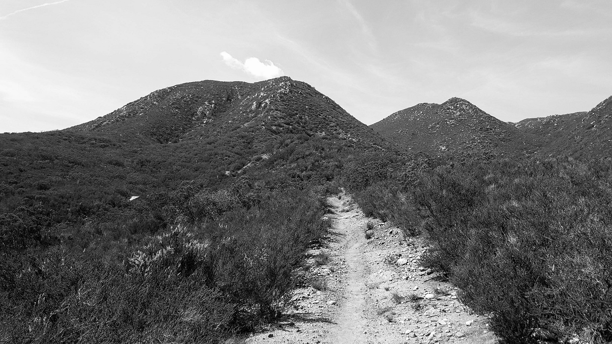
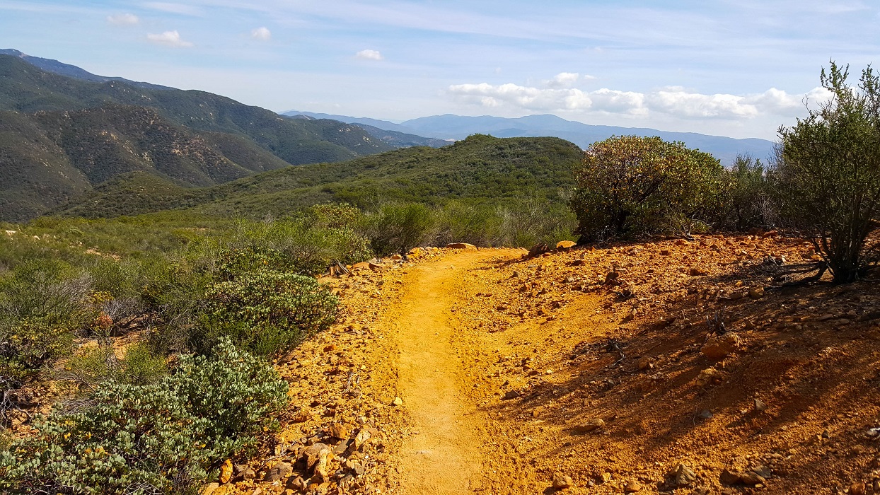
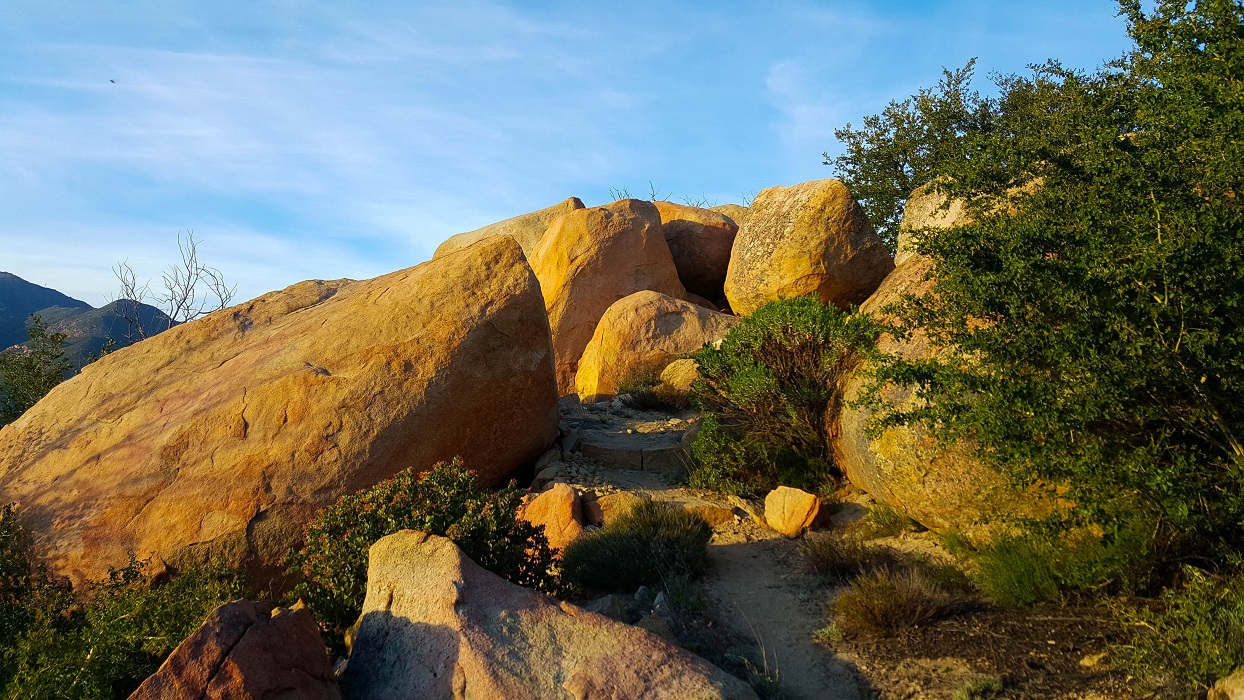
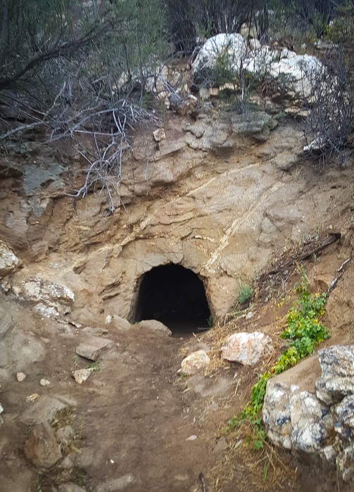
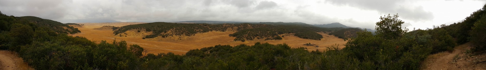
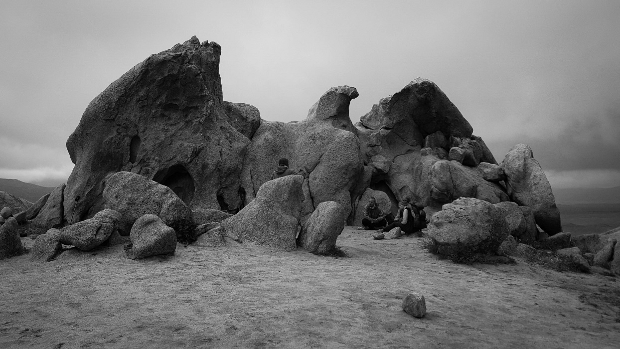
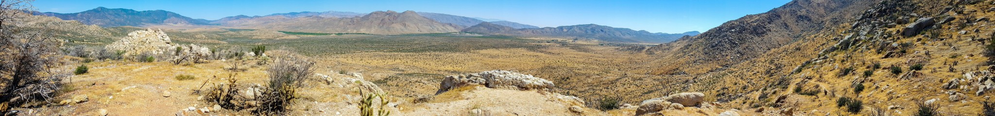
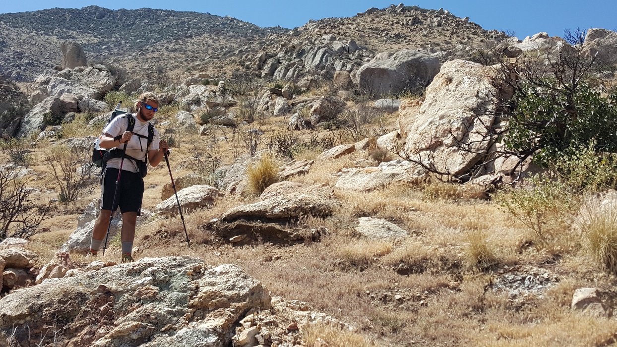
In the photo below, you can see Six-2 in a rather precarious position. No thank you!
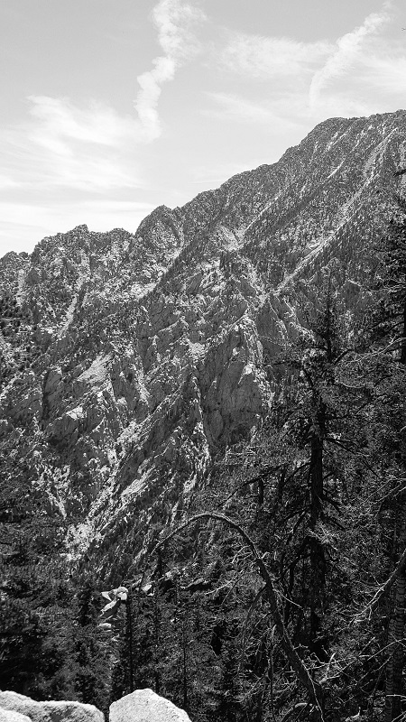
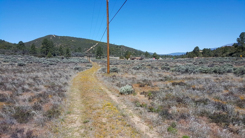
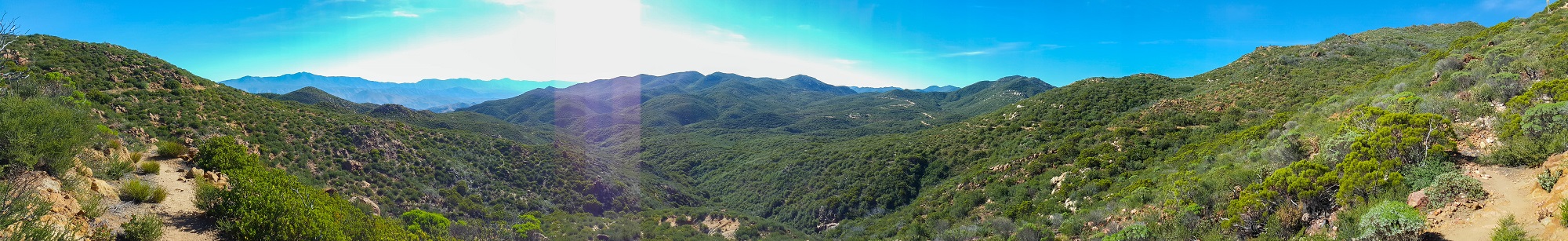
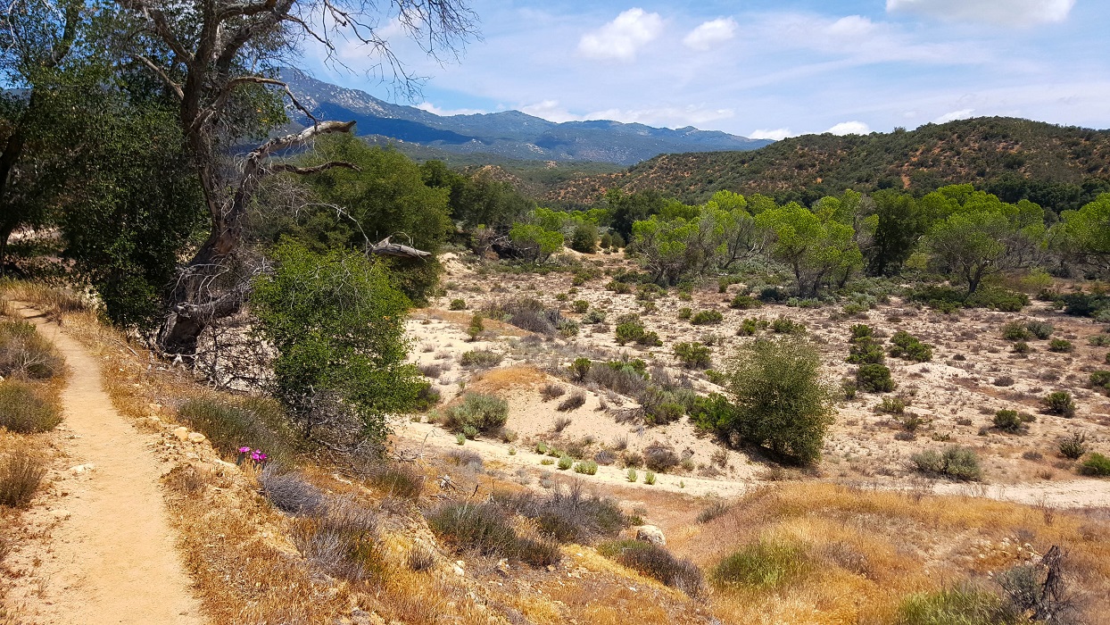
Earlier this morning, we were on Fuller Ridge, in the top-center of the above photo. As the day ended, we struggled to find a flat spot to camp upon. We both did a good job of managing our water for this stretch. I recall several previous blogs warning how long this stretch is and frustrating it can be, as you can see a water tank way at the bottom, but the trail meanders every which way, save down!
April 29th
Total mileage: 176 (although we’re around official PCT mile 183.8)
Today’s mileage: 15 (9 on May Valley Road + 6 on Deer Springs Trail)
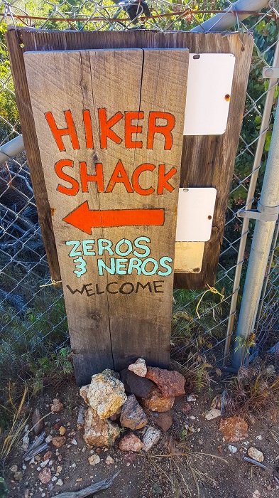
Six-2 and I got a very early start after a cold night of cowboy camping. He was reluctant to stop at Idyllwild, as he needed to reach Cabazon in a few days time. I had often seen Idyllwild on various lists of “best trail towns”, and I was reluctant to miss it. We worked out a compromise. He agreed to drop into town for lunch and a beer, and I agreed we wouldn’t get sucked into the vortex of staying the night at the hostel.
It was fun to see the town crawling with other hikers. We chatted with Taxi, at the local brewery, and several others at the gourmet pizzeria. This was also our first time experiencing eccentric locals. A woman stopped and chatted us up on the boardwalk of the pizzeria. She filled us in on everyone’s business–sometimes while the subject was arguably still within earshot; and given that every local greeted her as they passed, you really did get the sense that everyone knows everyone in this very small community.
The food and beer were good, but everything was expensive. In retrospect, we probably should have just pushed on through to Cabazon.
You can just make out the dirt service road that we followed into Idyllwild. It ended with us walking a mile or so on rural, paved roads that twisted and turned past rustic homes until we reached the town itself.Notice the signs facing us from nearly every direction.
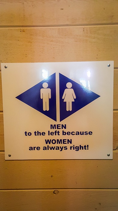
Signage at the brewery in Idyllwild. Terribly incorrect, of course. Unfortunately, this is my only photo from that town. I think I was tired and just focused on calories, hehe.
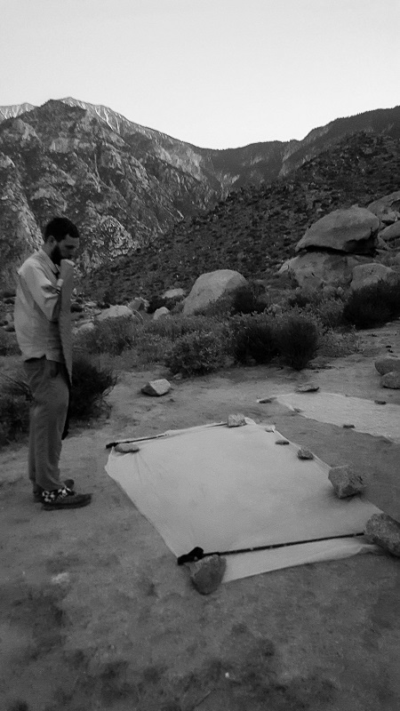
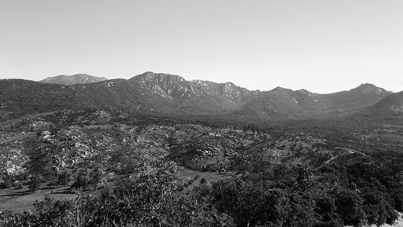
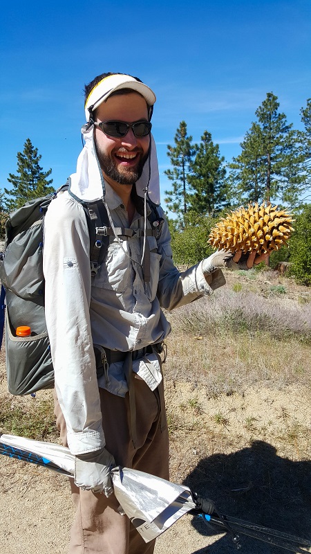
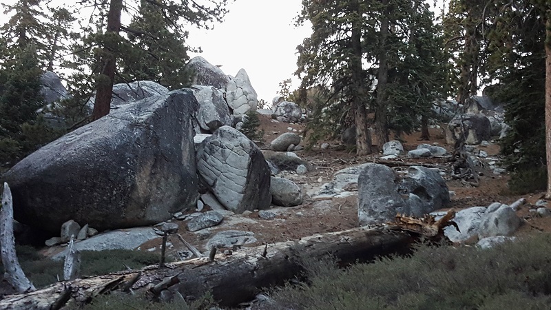
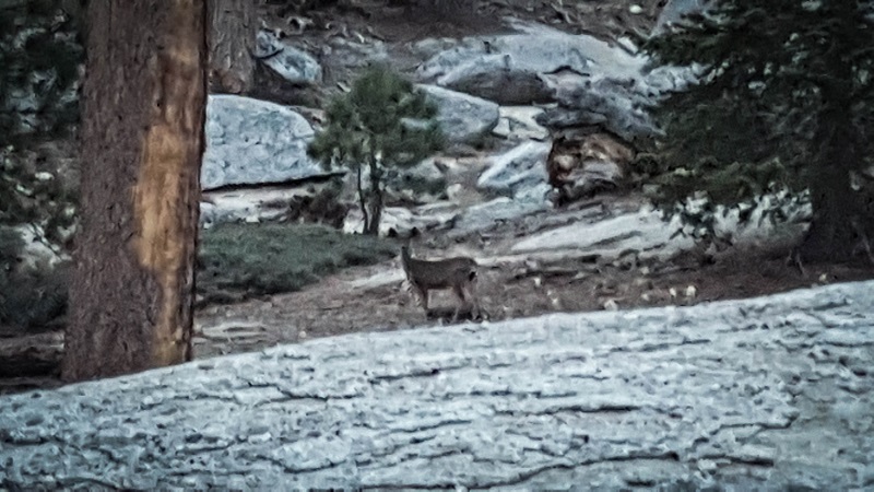
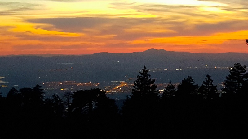
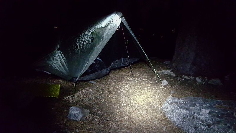
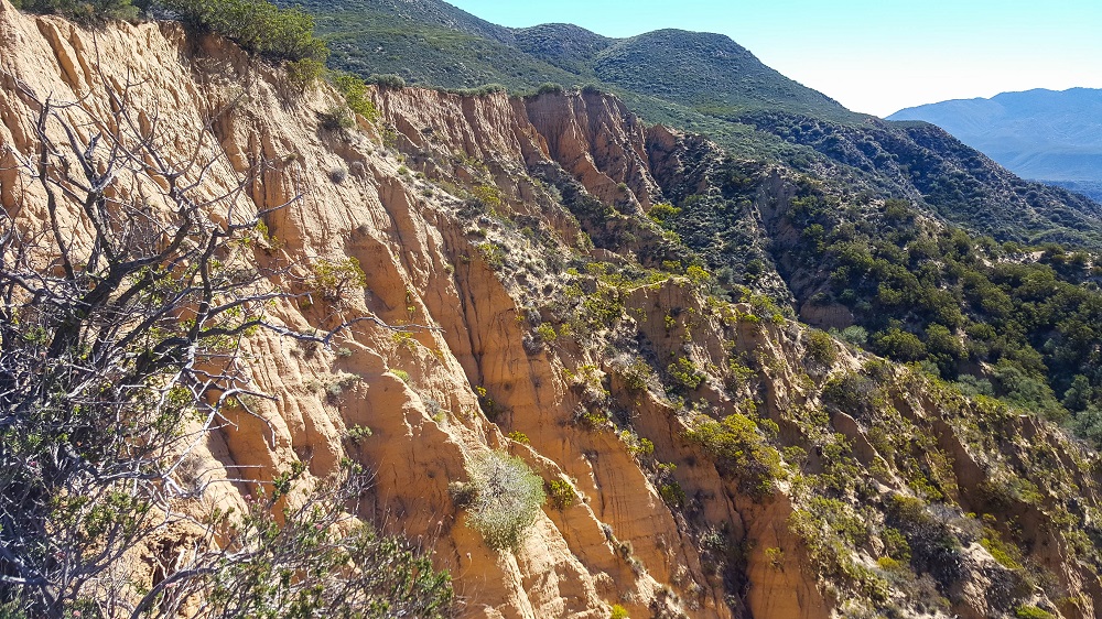
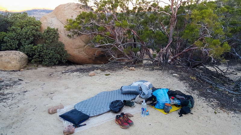
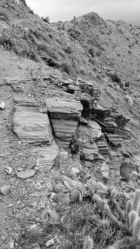
The terrain and geology took a radical change, and it felt like a precursor for things to come in the High Sierras.Lousy photo, but first deer of the trail we’ve seen.It was odd to see such big city lights to the west. I believe this is Ontario.We struggled to find flat space as it got dark, and I ultimately had to pitch literally on the trail itself. It was quite cold, as we were most of the way up Mt. San Jacinto. This photo was probably taken around 9,000 ft.
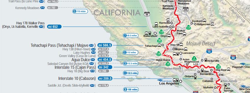
EXTRA: Joe Brewer has an excellent video showing this next stretch of trail from Idyllwild (Mile 179) To Big Bear Lake (Mile 266). I highly recommend subscribing to his channel:
Red Beard (Will Wood) also has a good video showing this stretch as well:
Mile 142 to 151, plus 1 to cafe, then 9 on to Hurkey Creek campground
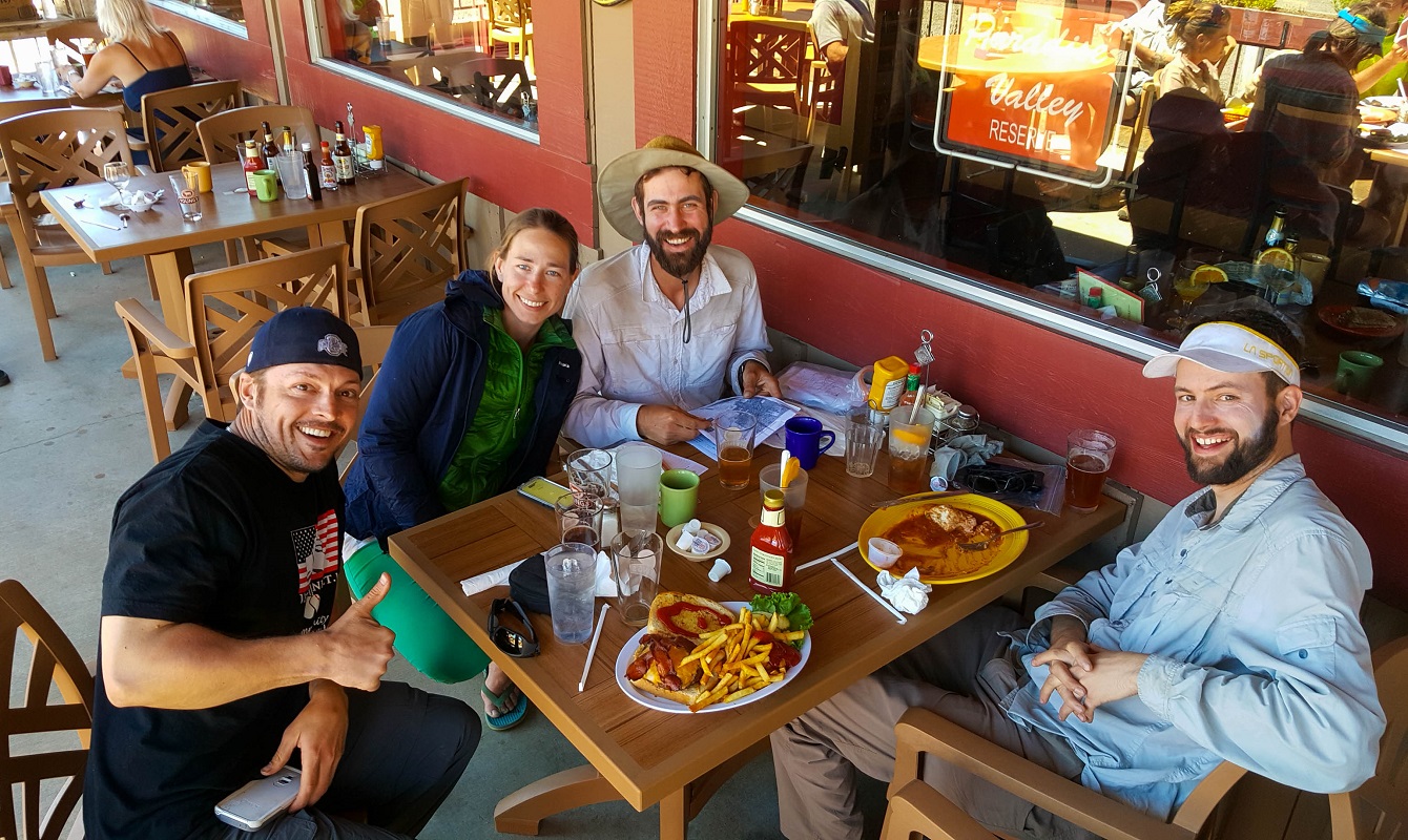
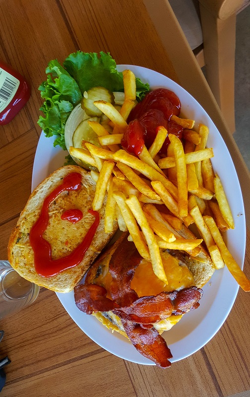
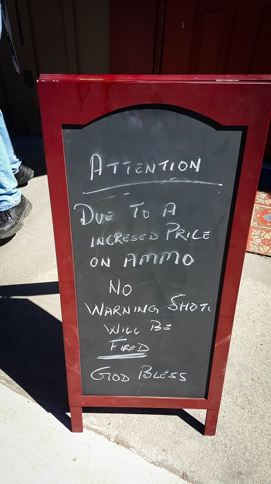
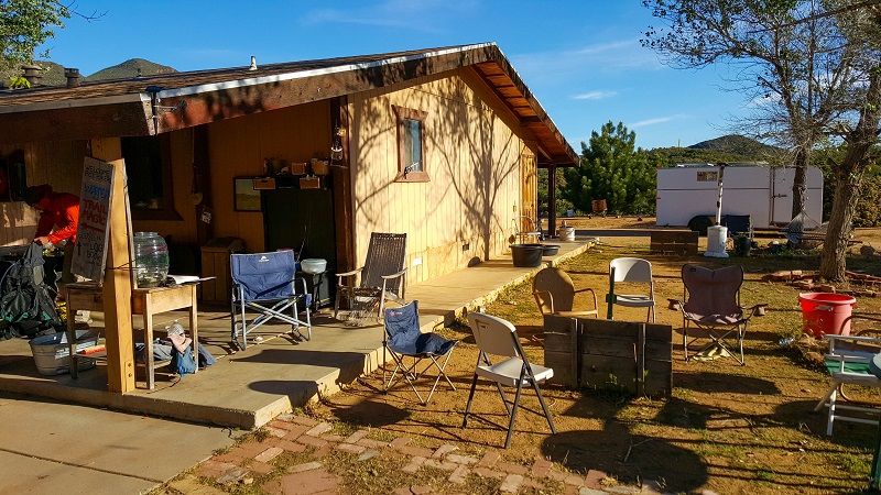
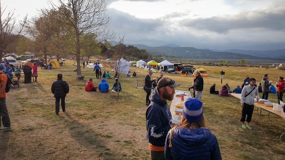
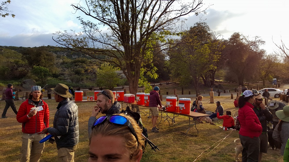
Reached Paradise Valley Cafe! Woot! Everyone was really, really looking forward to this pit stop. It is a little cafe on the edge of the desert with about 6 motorcycles on the side and 25 hikers here. There is already a sense of validity by reaching this place. I just enjoyed an enormous burger, fries, and am nursing my second blonde ale.
Right to left: Six-2, Darko, Taters and Skyline. This was the first time I met Skyline, a Navy vet from Ohio. We would see each other often all the way until Belden, and shared many great moments, including, surprisingly, the little town of Sierra City. The other two, Darko & Taters, I first met at the Senior Center in Warner Springs. We had great fun in Tehachapi, and later reunited again in Bishop.
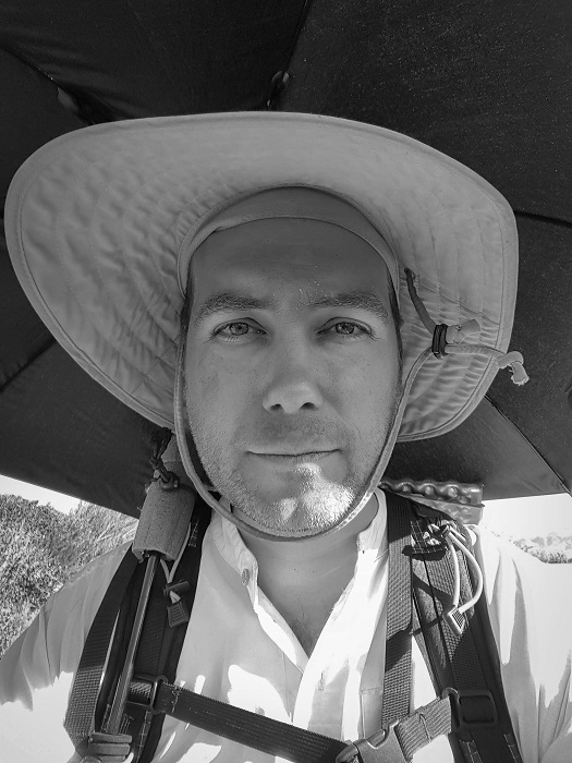
As we prepared to head back out, Taters read information to us about a possible alternative route around the closed segment of trail. I’m rocking my sunbrella already. Photo courtesy of Six-2.
It is remarkable how easy it is to hike when you know it’s a town day. The miles just fall by the wayside.
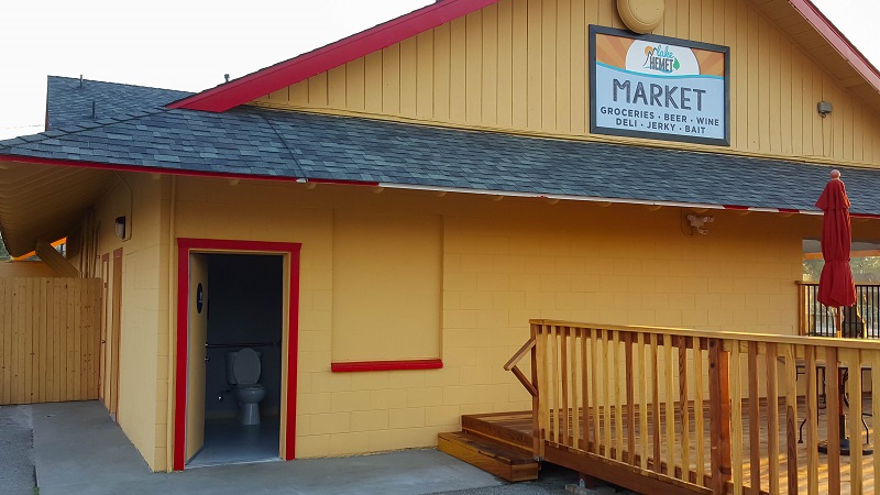
Funny that we spent good money earlier in the day at the Paradise Valley Cafe, and they still hid the key to the restroom (o.O) but here we found a very inviting throne for free later in the day. The differences that only 9 miles can make!Ragged around the edges.
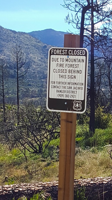
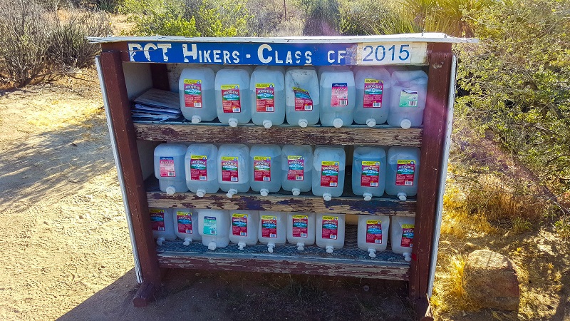
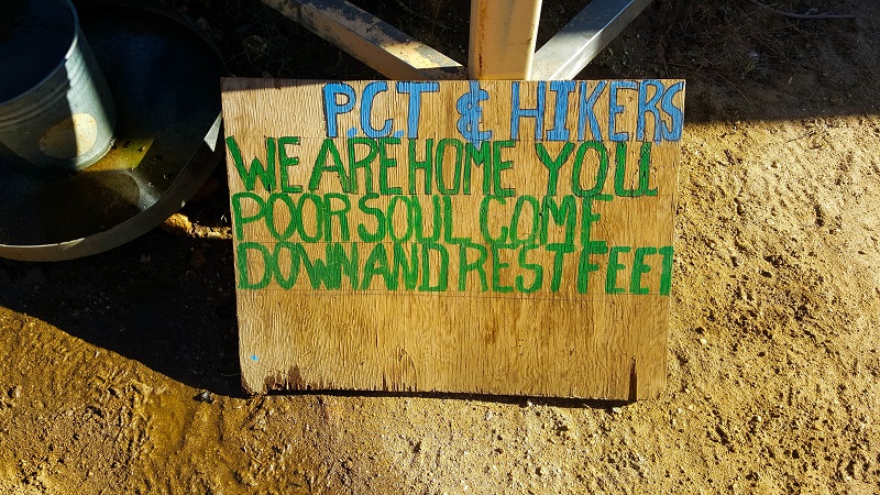
The next 15 miles are a little in flux. The official trail is closed for 3 miles due to fire in past seasons, so there is a series of alternate trails to make up ground. None of them are official alternate routes. Some hikers are taking an 8 mile road walk to Idyllwild. It is hard to know which route to take, as the alternate routes are not well documented at all on trail, so it requires course-finding and a huge water carry. The problem is that I’m not as fast as most of the other hikers, I just often catch them in the evenings…so I am reluctant to do a lengthy unofficial alternate ridge alone in this heat when there’s the very real possibility that I’ll reach a junction that has no signage and no one else nearby. I think the safest option is to do a dirt road that parallels the highway to Idyllwild, as it still maintains continuous footsteps.
Several past thru-hikers have told me that Idyllwild is one of their favorite trail towns, so we all have high expectations.
UPDATE: Two women pulled over and offered us rides to Idyllwild, even though we weren’t hitching. And yes, we declined. The locals are very kind and supportive.
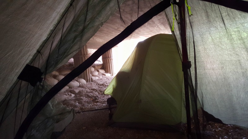
We hiked a bit further to Hurkey Creek campground and had a cold night of cowboy AND ninja camping. Quite a feat.
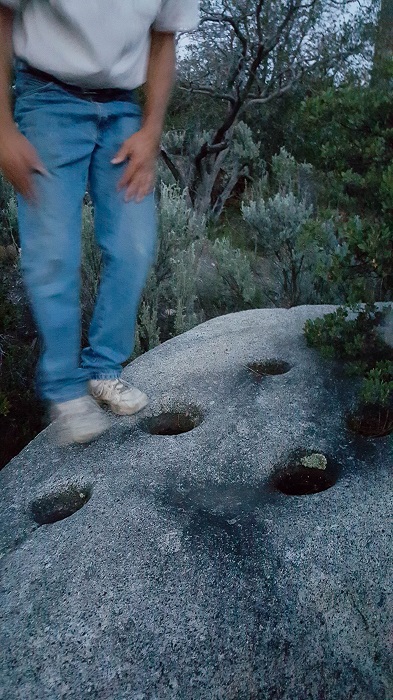
A kind local bought us a pack of deep-fried “donettes”. He then pulled his pickup over and waited for us to reach this native American mortar & pestle site. (I think the Cahuilla tribes call it a metate.)Due to the first fire closure of the trail, we had a partial road walk to Idyllwild. You could see and smell the smoke from forest fires on the horizon.
April 27th
Total mileage: 144
Today’s mileage: 17 + 1 for water at Tule Creek
This was the first day of ‘meh’. Up til now, there have been amazing views everyday. This was just a long hot day in the high desert.
One funny anecdote. Nearly everyone needed to visit Tule Creek, which involved a half-mile hike off the trail, down a steepish jeep road. When I reached it, there were already 10 hikers taking a siesta in the shade, including Darko, Taters and Six-2. Given that there wasn’t a lot of shade, I just decided to push on in the peak of the heat, with my ChromeDome Mean Umbrella Machine in swing. When Six-2 saw me preparing to head back out into the breach, he said with exasperation, “You’re not leaving now, are you?! In this heat?!” He later told me that goaded him into leaving soon after, hehe, and that he saw me up above on switchbacks approaching the ridge and did his best to give chase.
Six-2 and I cowboy camped on a hill with a nice view, near FM and a Scottish-Oregonian hiker named Toast. He was set up next to a large rock with several sizeable holes beneath it. We enjoyed watching him repeatedly throw things in there, trying to ascertain whether the recesses were homes to any critters. He was certain a snake was going to spring out. He gave us several memorable quotations over the coming weeks. One of my favorites was, “I’ve named my backpack Cheryl, so Cheryl can go farther than Cheryl did.” Hehe.
April 26th
Total mileage: 127
Today’s mileage: 18
Alternate title for today: Yavin 4.
Got a late start out of Warner Springs at noon. I was grateful that Maya was able to deliver my first main supply package of the trail. We had initially intended to mail it, but our plans were in disarray with The Breeze’s knee injury earlier in the week, and this locale was still within reasonable driving distance from James’ house that it made sense to not ship this time. Because trail towns are so frequent on the southern California portion of the trail, mailing resupply boxes is hardly needed. Generally, hikers prefer the freedom of buying food on the spot, because they know their preferences change, and also it prevents hikers from needing to waste a day waiting for a delivery that is late, or waiting for a Monday after having arrived in a town on a Sunday or holiday. My next resupply box will be to Kennedy Meadows South, the threshold into the High Sierras.
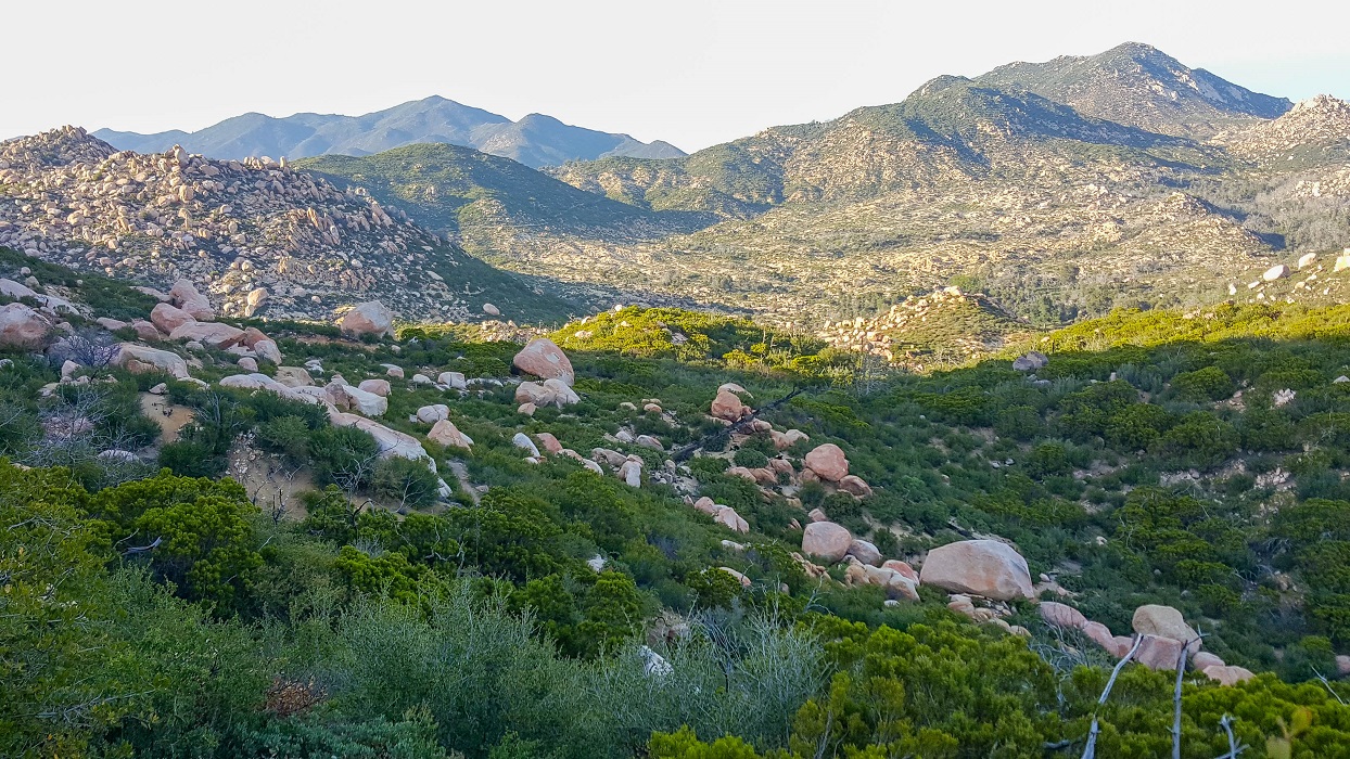
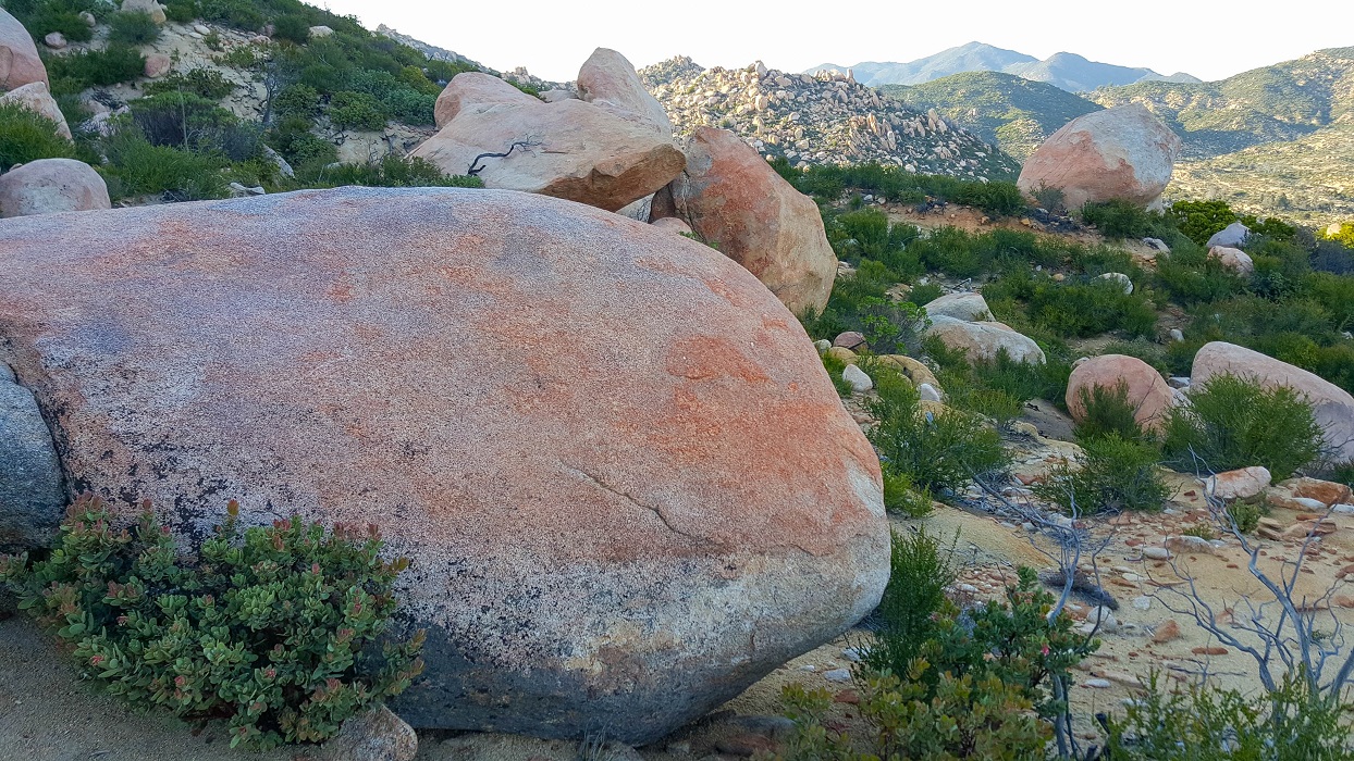
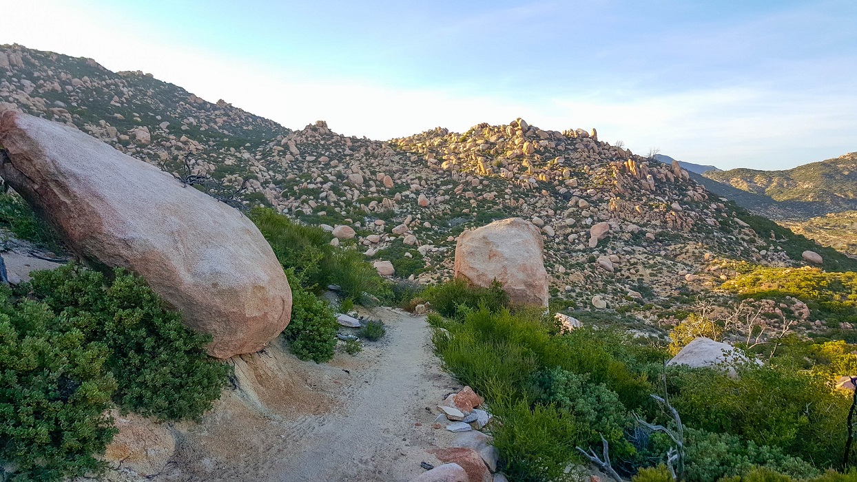
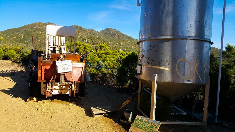
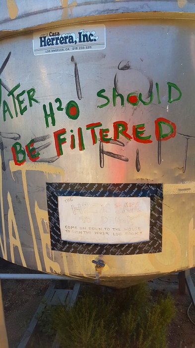
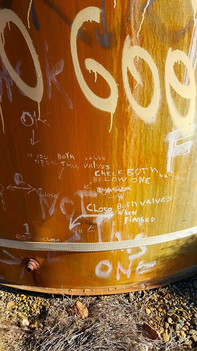
I felt good about getting 18 miles in between noon and 7pm, given the big ascent for the day. I knew the next water was at mile 127, so was really putting the hammer down the last several hours to try and make it before dark. The last hour or two went through a valley of amazing boulders. Some strangers were cowboy camping amongst the pink boulders, and they had a good fire already burning. I pushed on only because I had less than 1 liter, but I regretted about not having photographed them. I was surprised that the water source at mile 127 was a place called “Trail Angel Mike’s”, which I was familiar with from prior blogs.
There was some sort of military PT training grounds.
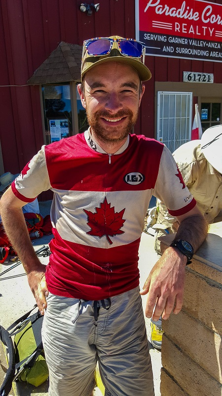
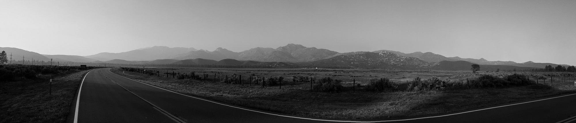
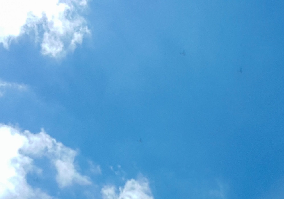
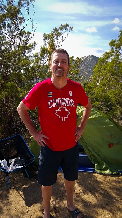
This was a large squadron of some type. I suspect perhaps old war planes flying for an air show. It was quite loud.A Canadian with a Canada shirt. Now that’s positive thinking!You can just make out the paved road in the far left of this photo. The trail never crossed it, but as I was climbing a hill, I had a sheriff in jeans pass the other way, with no gear or water, save for a holstered gun. It felt like a pretty barren place to see him.
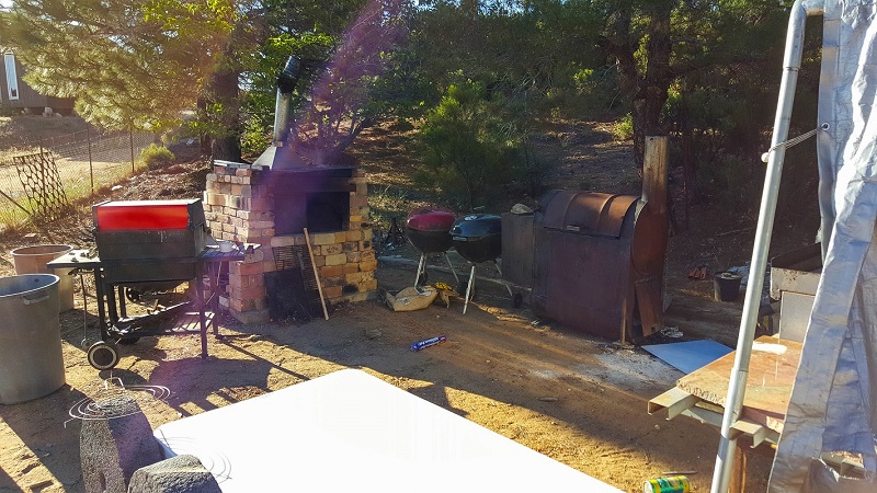
There were about 20 hikers there. The host had just left for the evening. He had smoked chicken for everyone and left a cooler of beer. I heard he was very quiet, drunk, and announced he was leaving and wouldn’t be back. Unfortunately, by the time I arrived, there was no beer left and only one lonely piece of chicken, but I enjoyed it nonetheless. I got my tent set up with the last bit of light. It was an interesting place. I’ll let the photos speak for themselves.
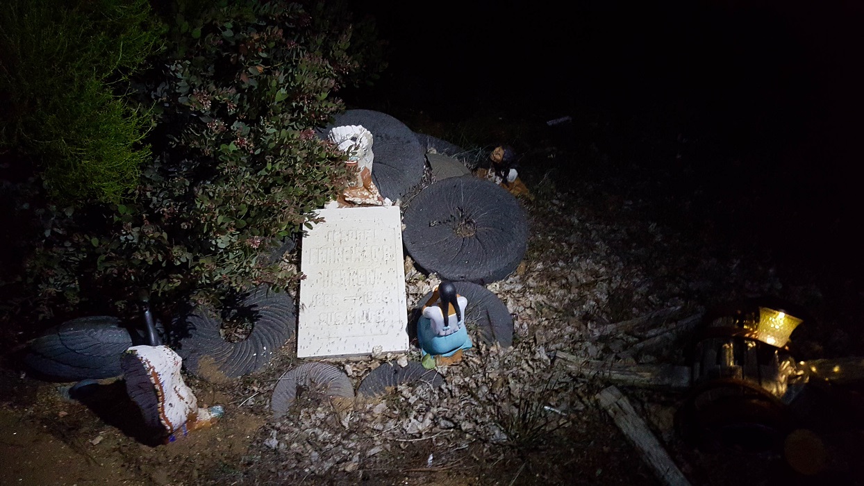
“Trail Angel Mike” had an unusual Mexican-influenced shrine in his yard.
UPDATE: I pitched my tent between Six-2 and FM that evening. FM had a can of Dr. Pepper I was coveting and I made clear my intentions that if he left it cooling outside, it may very well not be there in the morn. Hehe. Amazing the number of times I ran into FM. We even chewed the cud again in Seiad Valley.
April 25th
Total mileage: 109.5
Today’s mileage: 18.5
Today was another hard day, partly because I didn’t get an hour of sleep last night. The wind was vicious from both sides. I actually made an audio recording of it that I’ll have to post some time. I felt certain the tent would collapse. Surprisingly, it didn’t. The stakes held (I had rocks on all 8 of them), but the fabric of my ceiling stretched significantly downward from the forces.
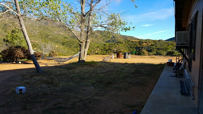
It was fascinating to once again witness the milieu around the PCT changing rapidly. Today, for the first time, the trail meandered through several large prairies, where again the wind buffeted incessantly. I was startled when a horse and rider cantered past me, having not detected them until they were upon me by only a couple of meters.
I also met a thru-hiker today who promptly tried to stick me with the trailname, Shock-cord, simply because my pack comes with several shock-cords attached. I politely declined but he insisted that was my name. I told him I’d call him Mariposa, because he hiked with a Mariposa pack, and the matter was dropped.
At present, I’m set up beneath a bridge in Warner Springs with 7 other hikers. It is still raining. There is a senior community center in town that I was pushing to reach before 4 pm for burgers. I got there at 3:20, but unfortunately the lady had just turned off the grill, grrr. At least I was able to buy a slice of Julian pie and ice cream for $5. Most of the hikers here will be returning in the morning for breakfast.
A couple of miles out from Warner Springs, I spoke with Six-2 here for the first time.5 of us camped beneath this causeway.
UPDATE: I met Six-2 for the first time, and Claire for the second at a water horse trough just prior to the senior community center. Six-2 was talking about his extensive overseas travels in southwest Asia and I knew he’d be an interesting person to know. He later cowboy-camped next to me that night, beneath a small overpass on the outskirts of ‘town’. I recall a good amount of water flowing in and he scrambled to dig a moat around himself, hehe. Another hiker, Illegal, and his friend were in awe that Six-2 could recite from memory nearly every trail town on the PCT map.
April 24th
Total mileage: 91.1
Today’s mileage: 14
We left Kickoff in the RV and headed to the town of Julian, about 13 miles away from where I’d gotten off trail at Scissors Crossing. There are several pie places in Julian, and one in particular, Mom’s Pies, is quite famous for graciously giving pie & ice cream to thru-hikers. For some reason, we ended up going to Julian Pies instead, right at opening. After a tasty treat, there was nothing left to do but hit the trail. My family returned me to Scissors Crossing. Beginning the ascent alone, it was sad to know that The Breeze’s hike was definitely finished and that I would not see my cousin & friend again for quite some time. It was also a bit daunting heading out, as I did not see another hiker before or after for quite some time.
There was significant wind during most of the day. I realized I had developed a bit of chafing in a very uncomfortable place, but I also didn’t feel like there was any respite from the wind. I really needed to tear my pack apart and get to some anti-chafe product near the bottom. Instead, I carried on, much to my chagrin.
I’m camped in a very windy location, called Third Gate after Scissors Crossing. This is a famous water cache, although I don’t need any as I carried 4.5 today. Weather was quite cold, and I wore my rain kilt and gloves for the first time. I’m tired, and am glad I decided to pitch camp early. The tent is still wet from kickoff.
I did see one interesting thing of note today. There were three people in orange jump suits slowly walking around the sagebrush at the base of the ridge climb. I was far away, but it looked like they were possibly wearing insect bug netting hats. At first I thought they were corrections facility people, but I did see a Fire Department truck. The three were just slowly walking around…like they were looking for evidence. It was strange.
UPDATE: It’s funny, but looking back on it now, I almost met Six-2 this day. In the photo below, he had his hexamid tent set up prior to my arrival, in the bushes about 10 meters to the left of my tent. I think he was already nesting for the evening and we didn’t speak. It was also the first day I met my Dutch friend, Claire, whom I’d see on and off until Acton.
EXTRA: Joe Brewer has an excellent video showing this stretch of trail from Scissors Crossing (Mile 77) to Idyllwild (Mile 179). I highly recommend subscribing to his channel:
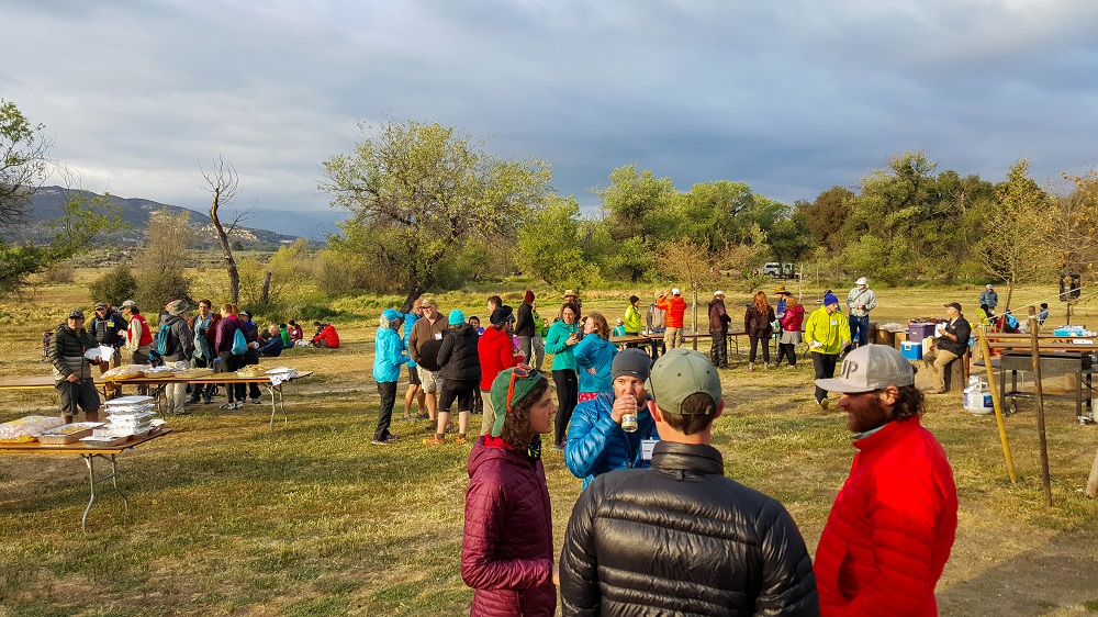
OxbowBurrito, Kiru, Nymeria and Ryan took The Breeze and I to the first kick-off at Lake Morena. They brought their RV. I felt like it was fairly priced for hikers, but thought that $30/guest adult was too much for cold burritos and coffee. (No disrespect intended.) It’s funny to look back at these photos now and recognize people whom I would not meet Yosemite.
One funny incident happened at 2 AM. I heard a hiker loudly call out, “Help! Help!” …. And then someone called out from their tent, “What’s wrong?”
“I’m drunk and I don’t have a headlamp and I can’t find my lot.” I smiled and took comfort in knowing that was at least one person I was faring better than, hehe.
Below is well-known hiker Yogi on the right, in the red coat with white hat.
We have temporarily stepped off trail to recharge a bit at OxbowBurrito’s house in Laguna Niguel. The Breeze’s knee injury appears to be significant, and he’s scheduled to see a sports doctor tomorrow to see if its manageable without causing permanent damage.
We’re still planning on attending the official 2-day kick-off event from Wednesday-Friday.
UPDATE: Unfortunately, The Breeze has a torn meniscus and very likely a torn ACL as well. He was told to stay off it and seek a surgeon once he’s home. We are headed to Kick-off now.
April 19th
Total mileage: 77
Today’s Mileage: 9 (Rodriguez Spur Truck Trail(68.4 mi) – Scissors Crossing(77.3 mi))
There were a dozen or so hikers at the Rodriguez fire watertank, and most had packed up and moved on before 7am. It was known that the next 30 miles were waterless, although the water caches at Scissors Crossing are often stocked and hikers can hitch into Julian if not. We didn’t push fast out of camp, as we knew we’d be stepping off trail at Scissors Crossing, which meant our first near-zero (nero) day of only 9 miles. It was a long, long 9 miles. The heat was oppressive in the high 80s, and our injuries really slowed us down. It was mostly a single-track narrow path that descended the ridgeline down to the desert basin, thousands of feet below. We both used our ChromeDome umbrellas for most of the day to great success.
We passed two southbound section hikers, one who was headed to Kickoff and the other who was giving chase in a sporty manner. Kinda bizarre to encounter these two people on a relatively narrow ledge, high above the barren landscape.
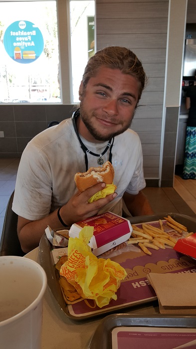
The trail finally dropped us down to the flat sandy badlands around mile 74, and we had a final 3 mile hike to the S2 highway, known as Scissors Crossing. We took refuge from the heat beneath a highway bridge, before our extraction. Mike had been dreaming of McDonald’s fries, and his wish was fulfilled about an hour later.