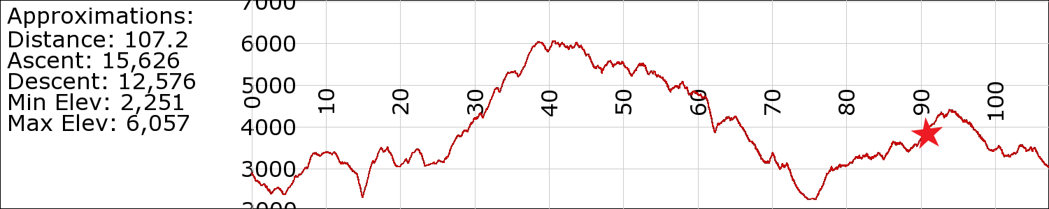
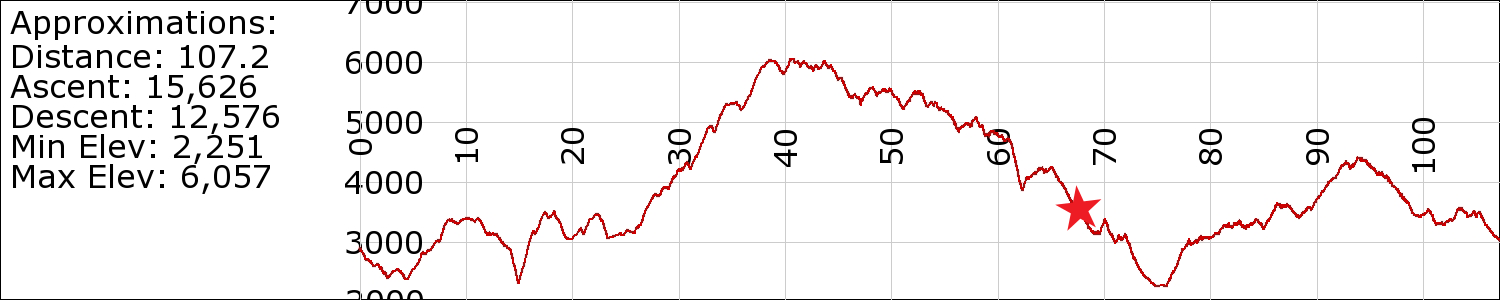
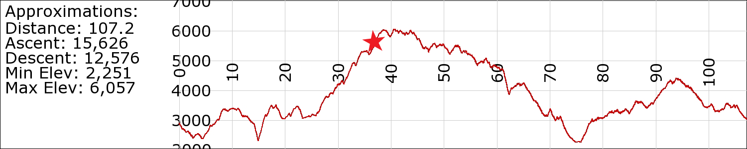
Day 11: A Walk in the Clouds

April 25th
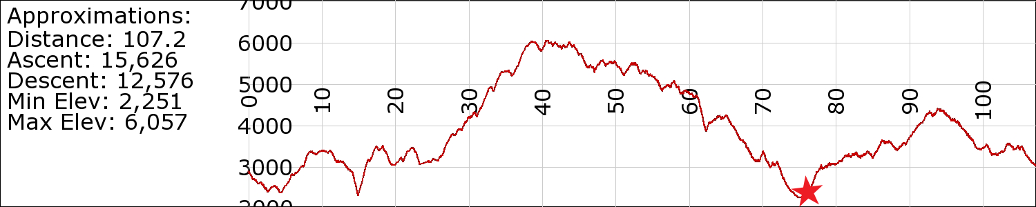
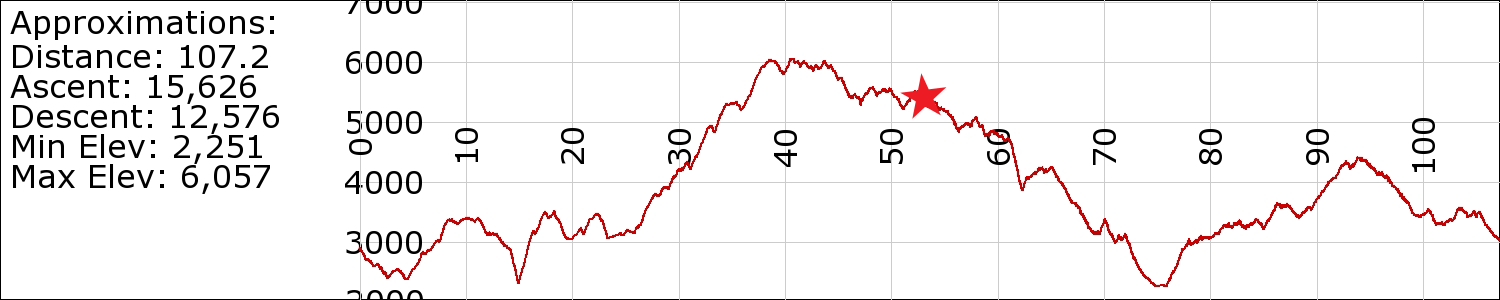
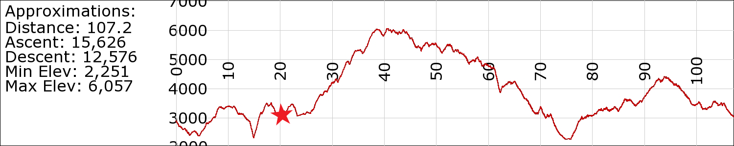
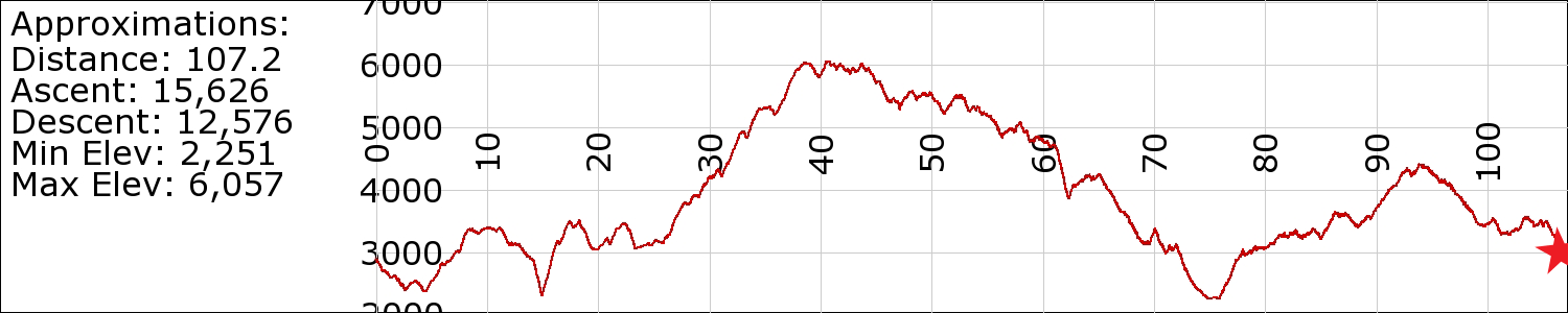
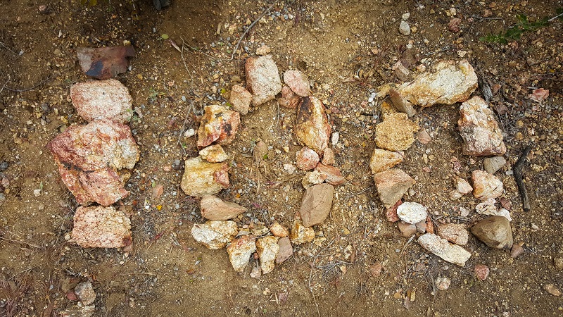
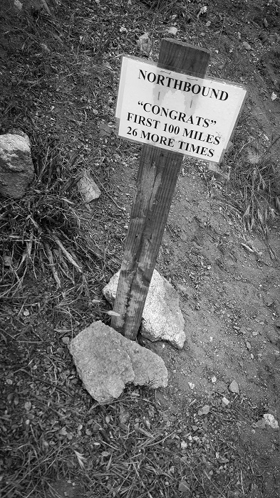
Total mileage: 109.5
Today’s mileage: 18.5
PCT-Section-A_110

20150425_143027_001

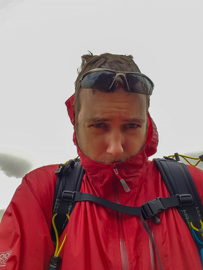
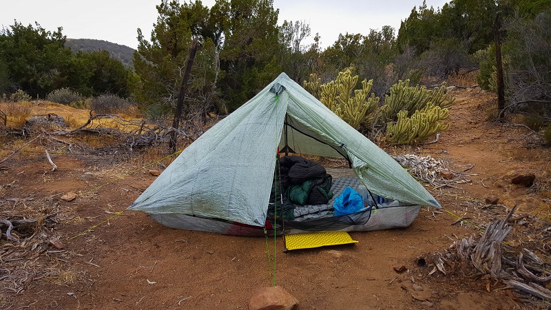
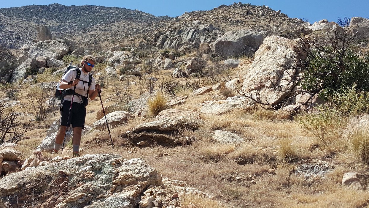
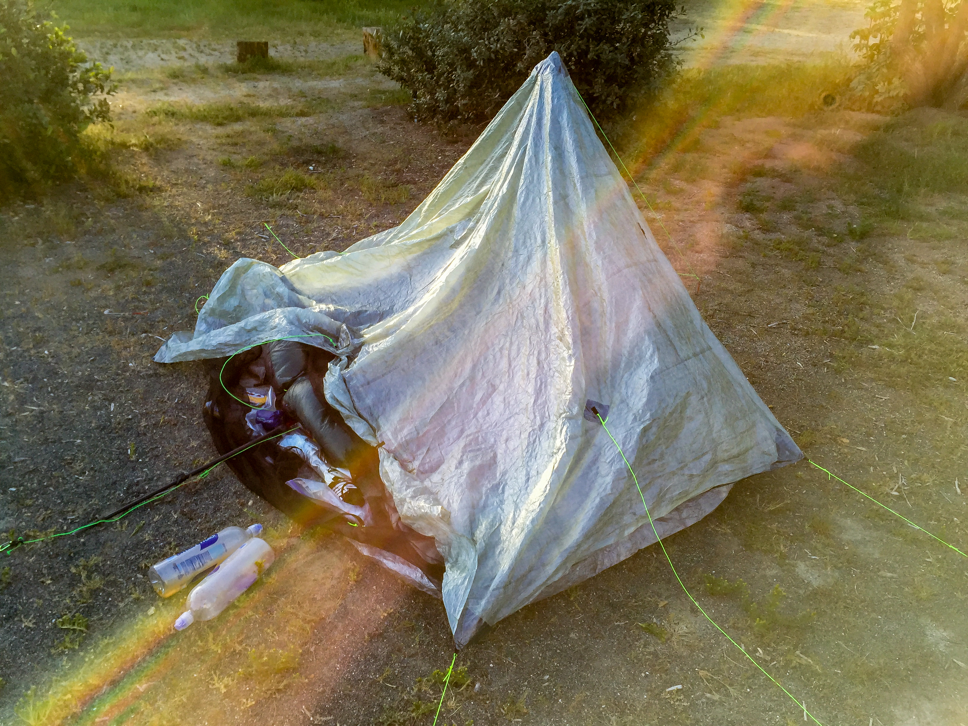
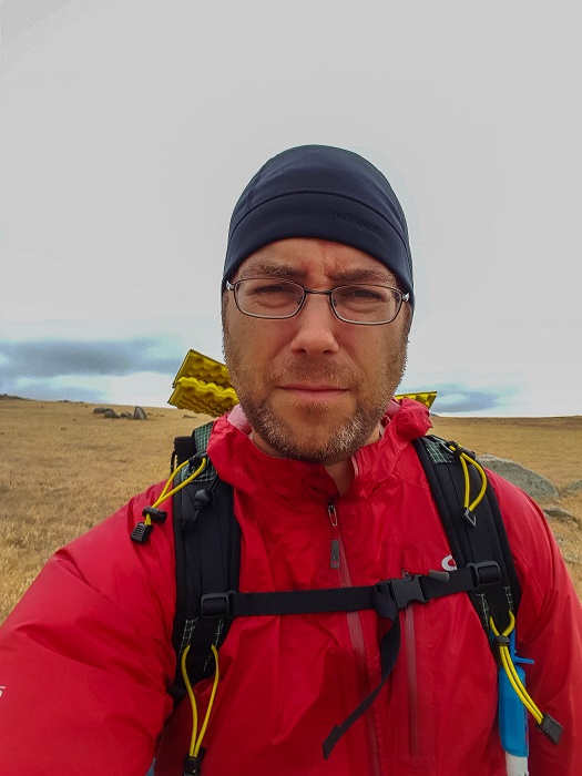
Today was another hard day, partly because I didn’t get an hour of sleep last night. The wind was vicious from both sides. I actually made an audio recording of it that I’ll have to post some time. I felt certain the tent would collapse. Surprisingly, it didn’t. The stakes held (I had rocks on all 8 of them), but the fabric of my ceiling stretched significantly downward from the forces.

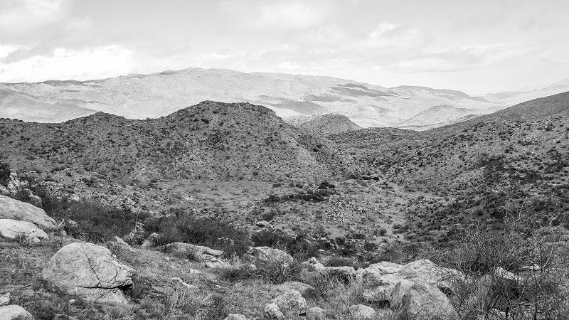
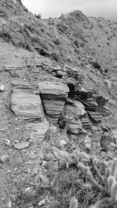
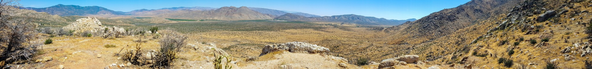
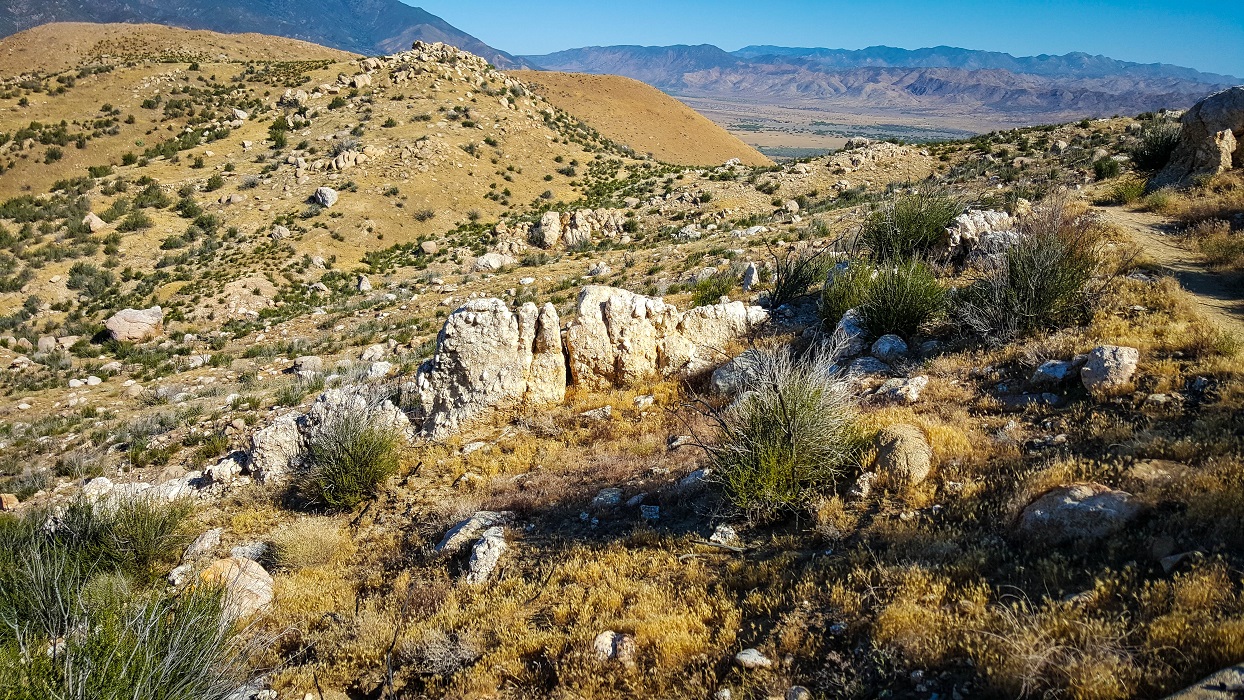
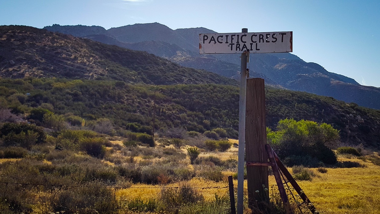
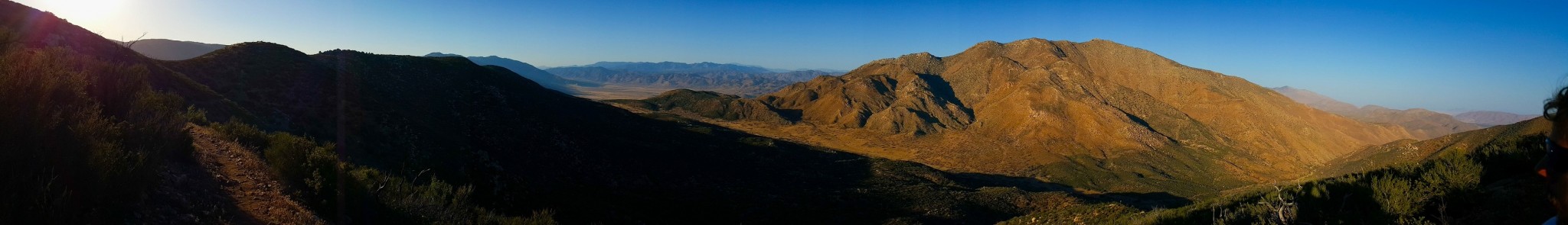
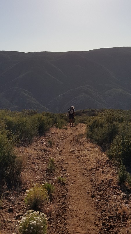
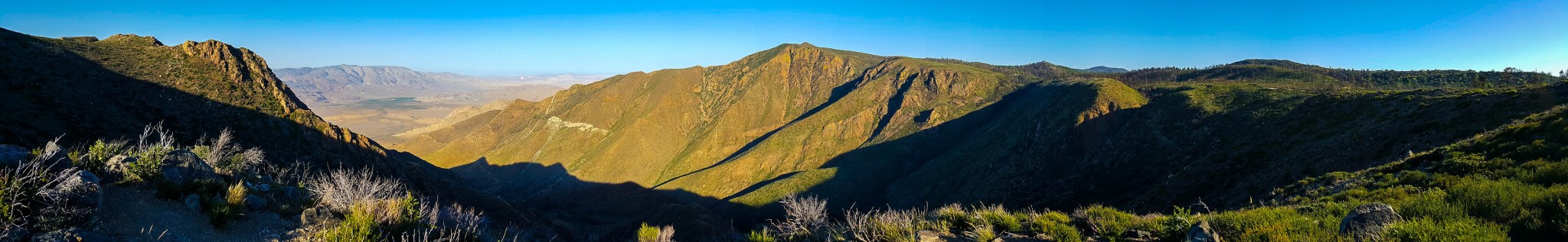
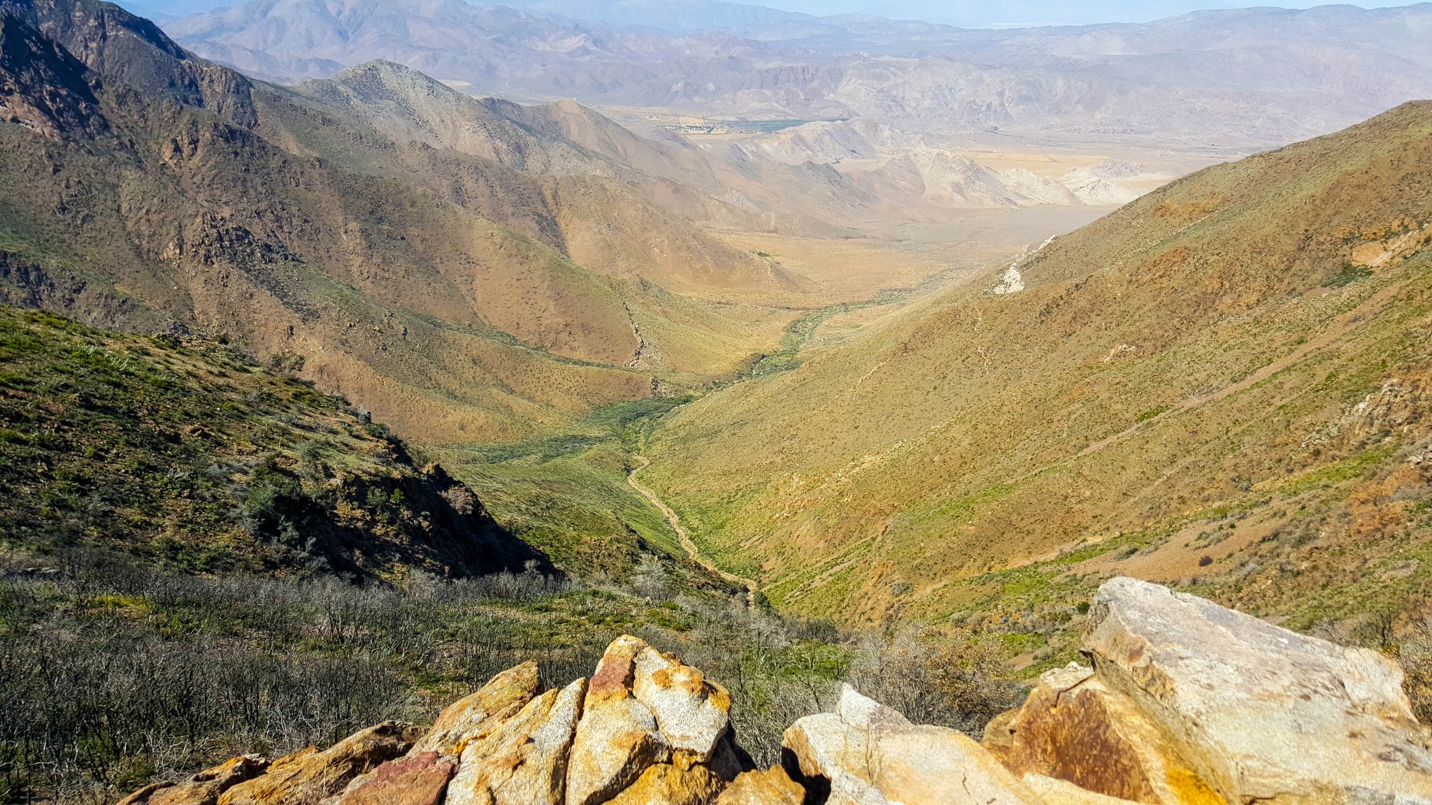
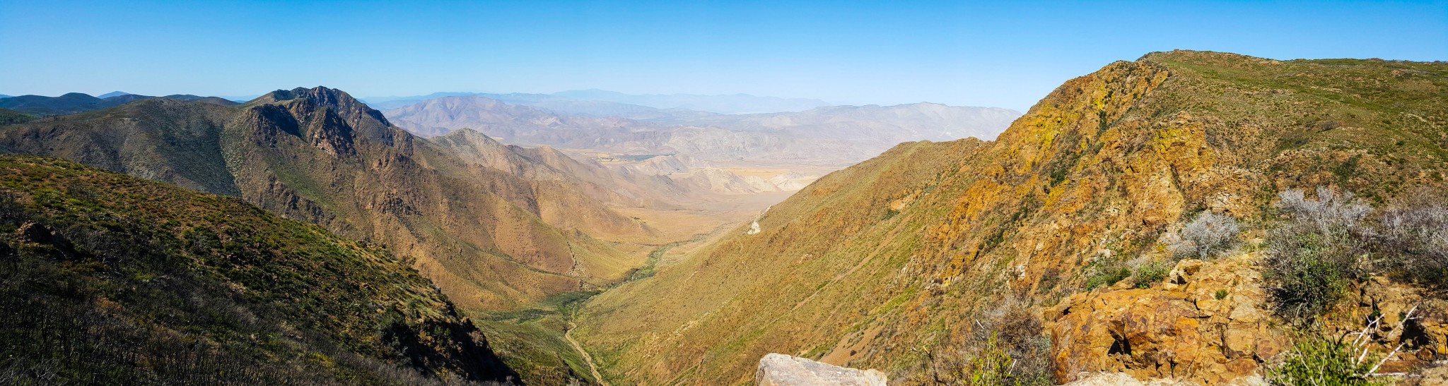
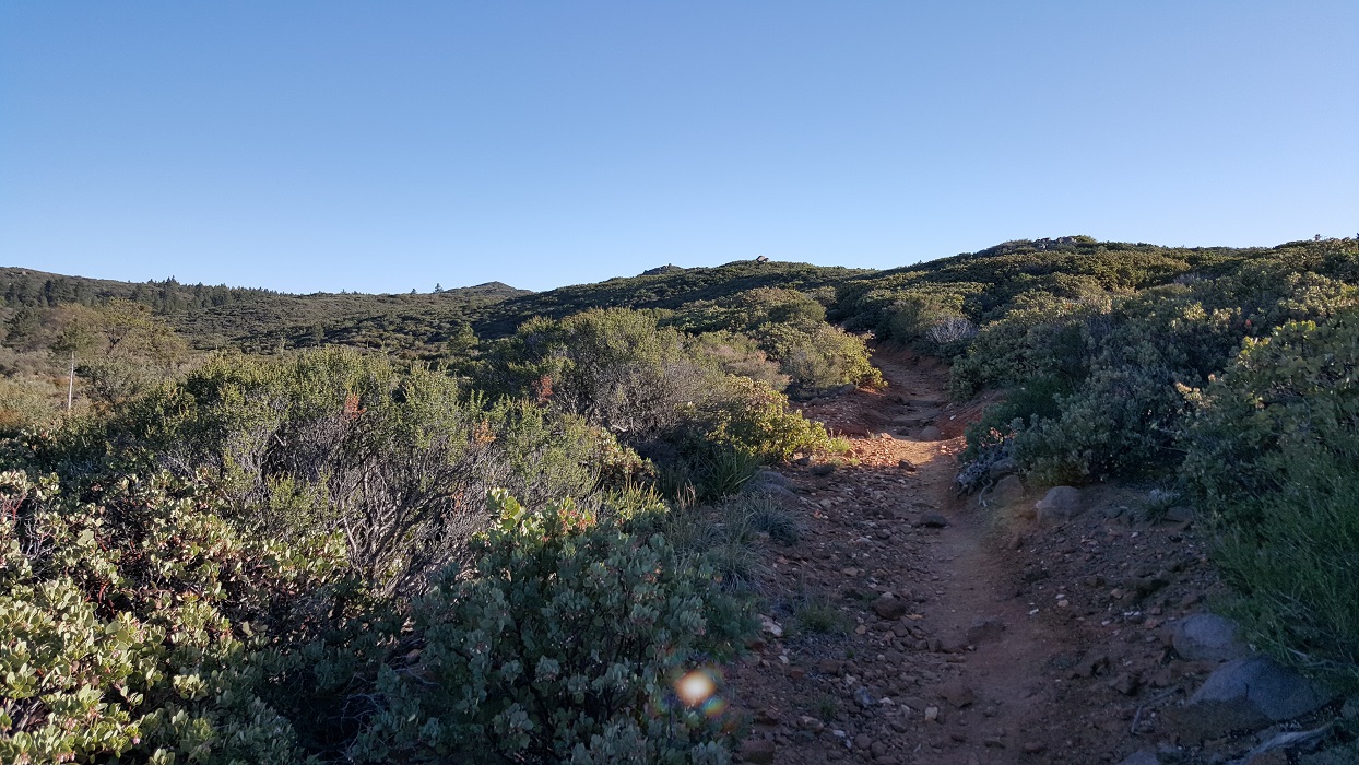
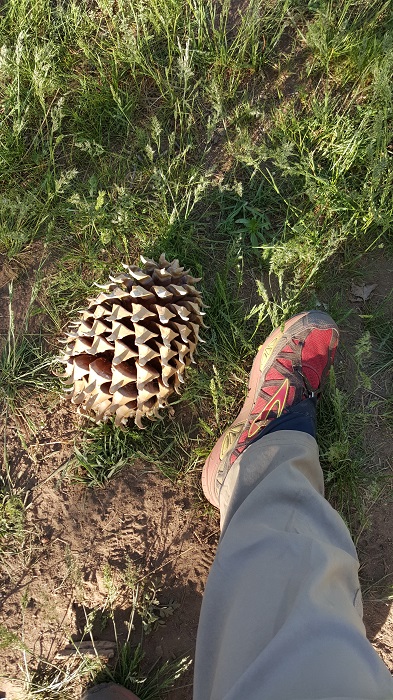
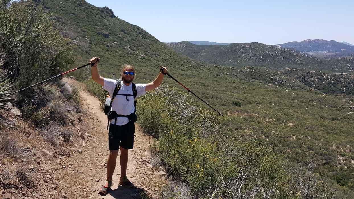
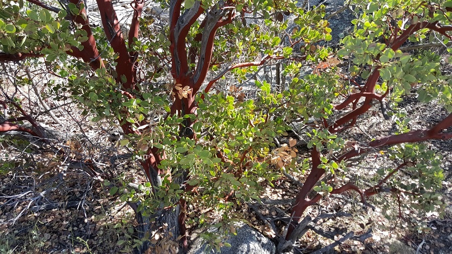
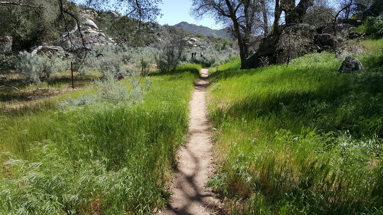
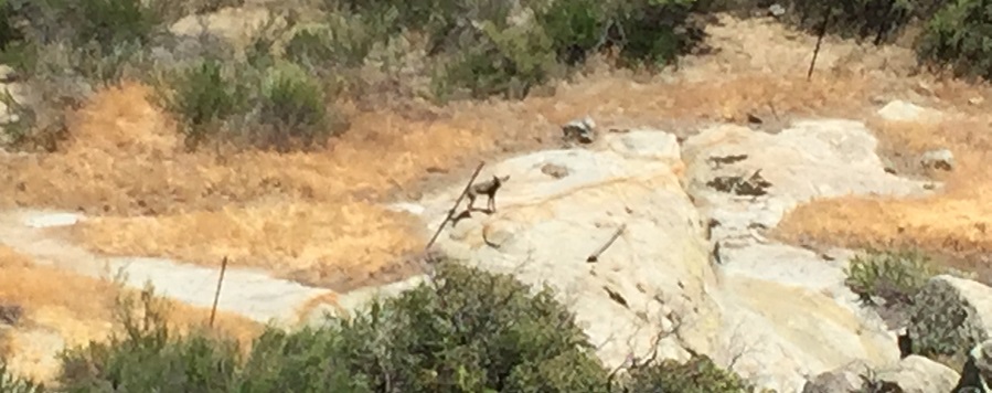
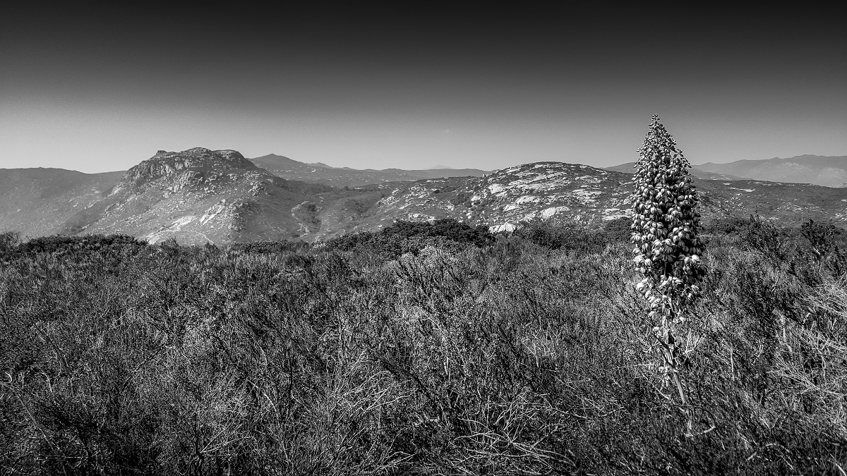
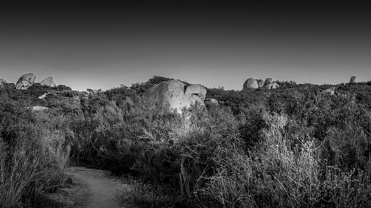
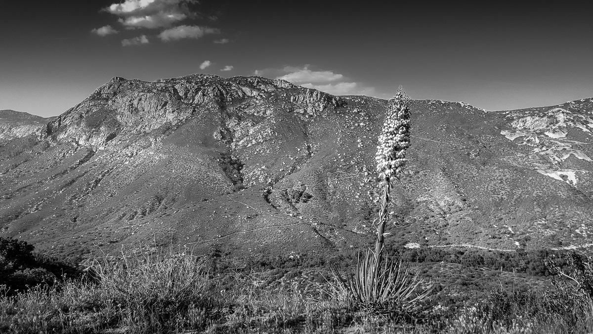
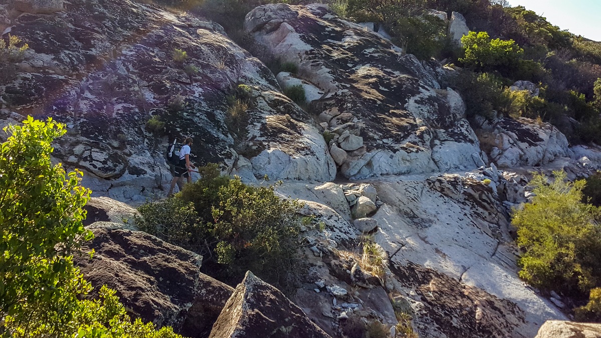
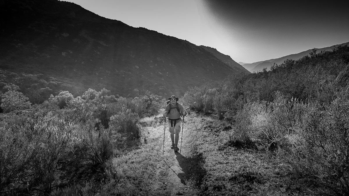
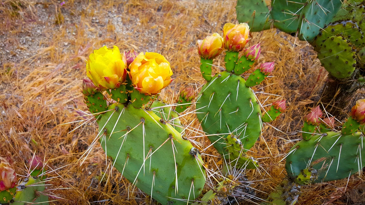
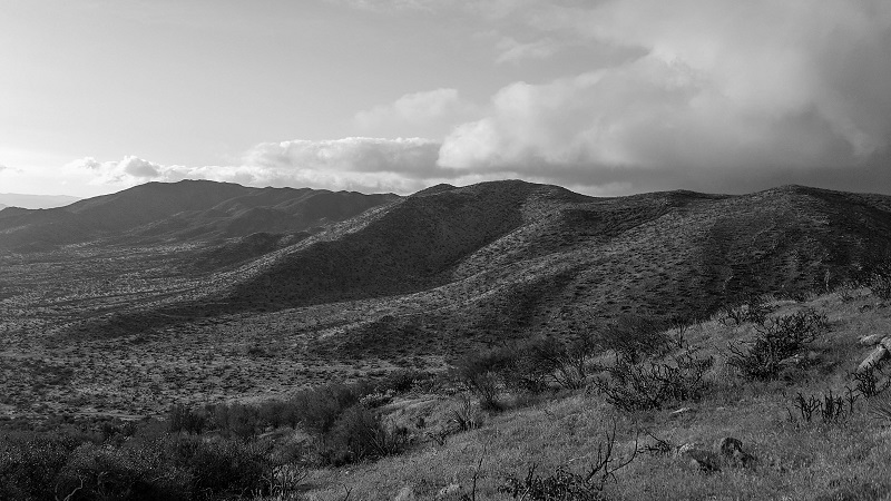
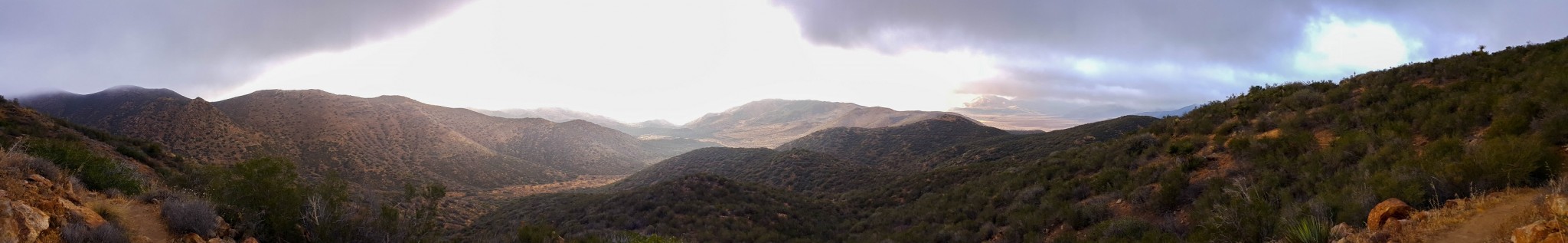
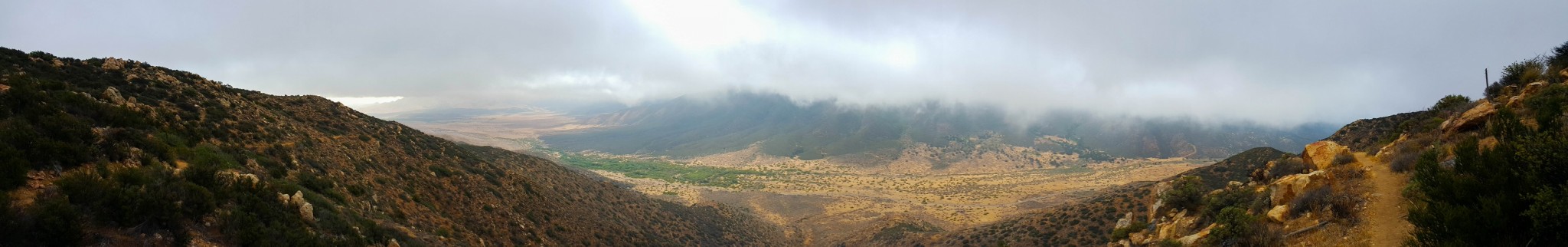
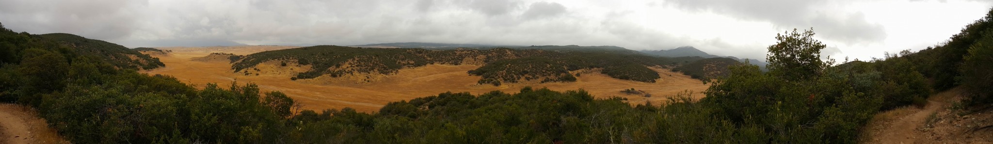
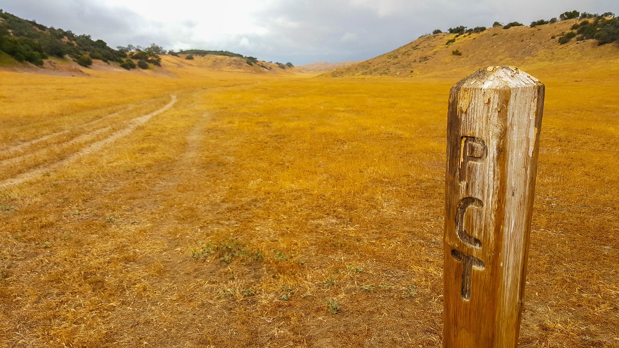
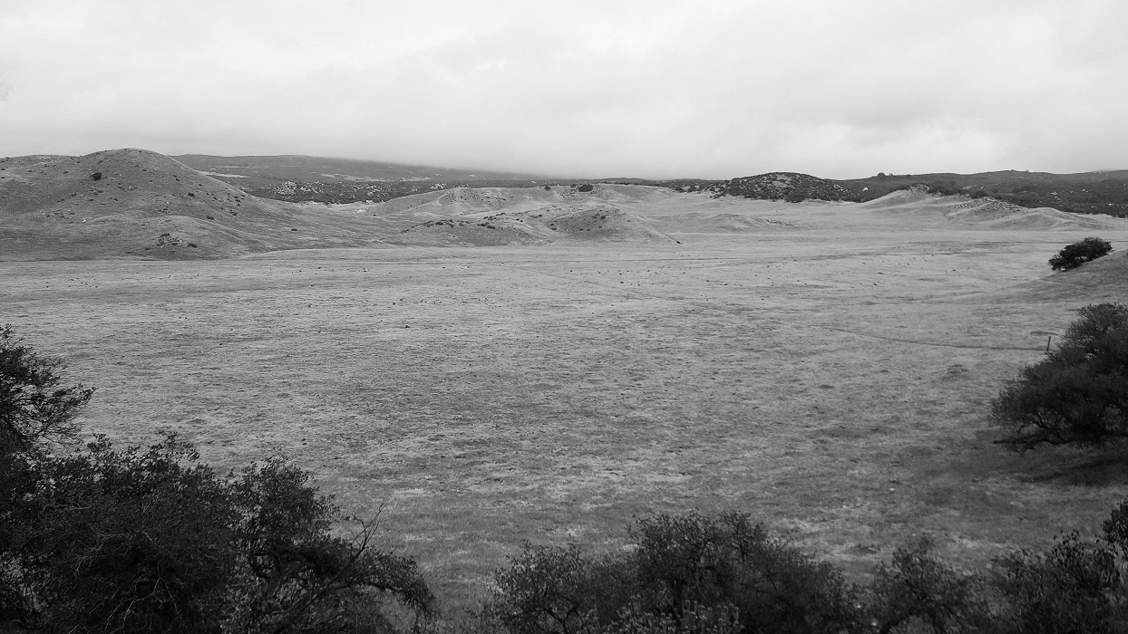
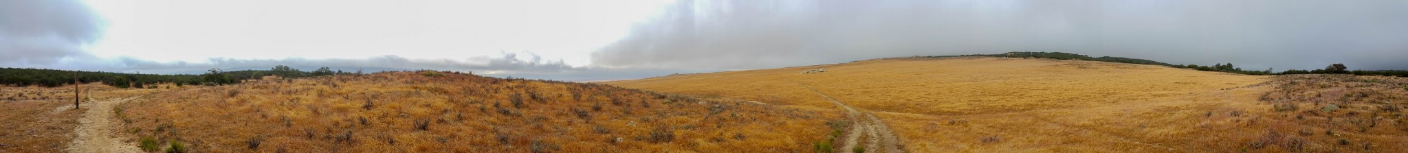
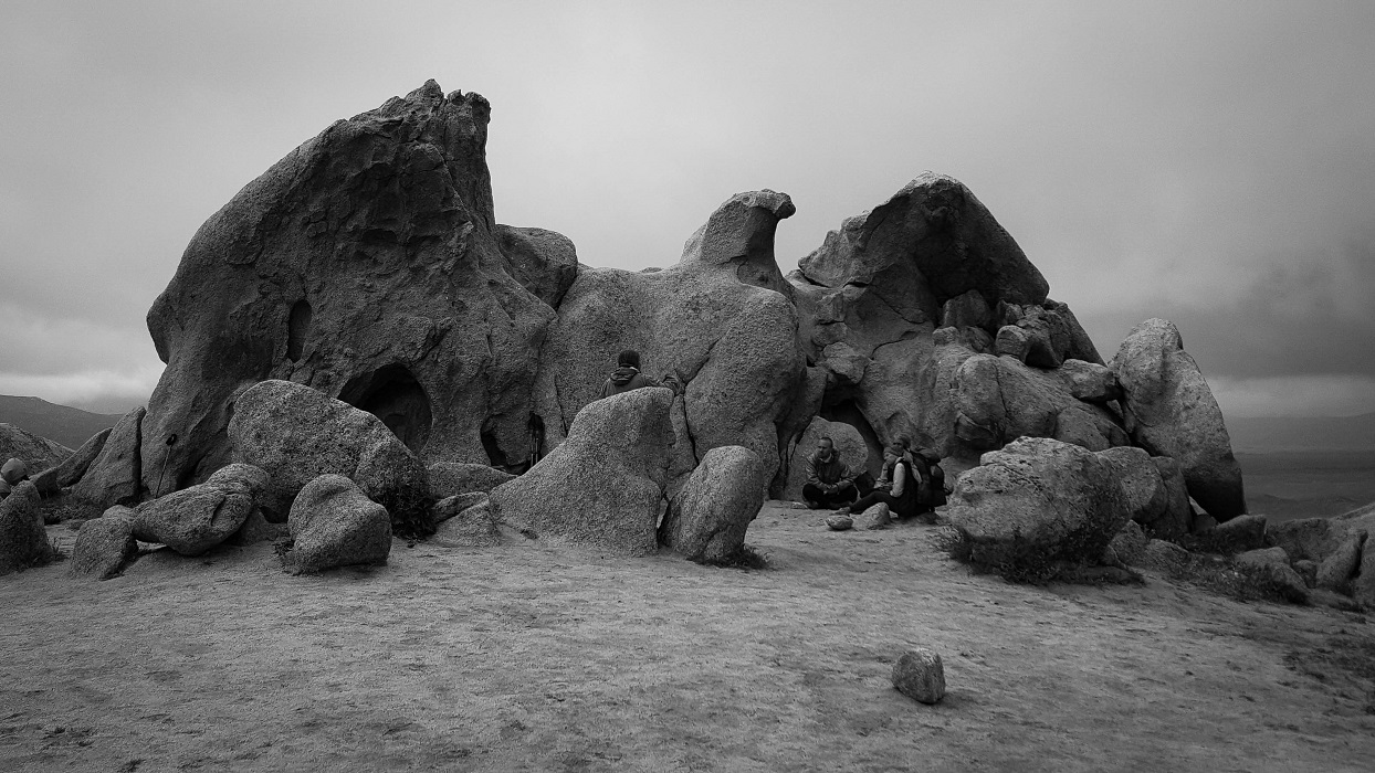
It was fascinating to once again witness the milieu around the PCT changing rapidly. Today, for the first time, the trail meandered through several large prairies, where again the wind buffeted incessantly. I was startled when a horse and rider cantered past me, having not detected them until they were upon me by only a couple of meters.

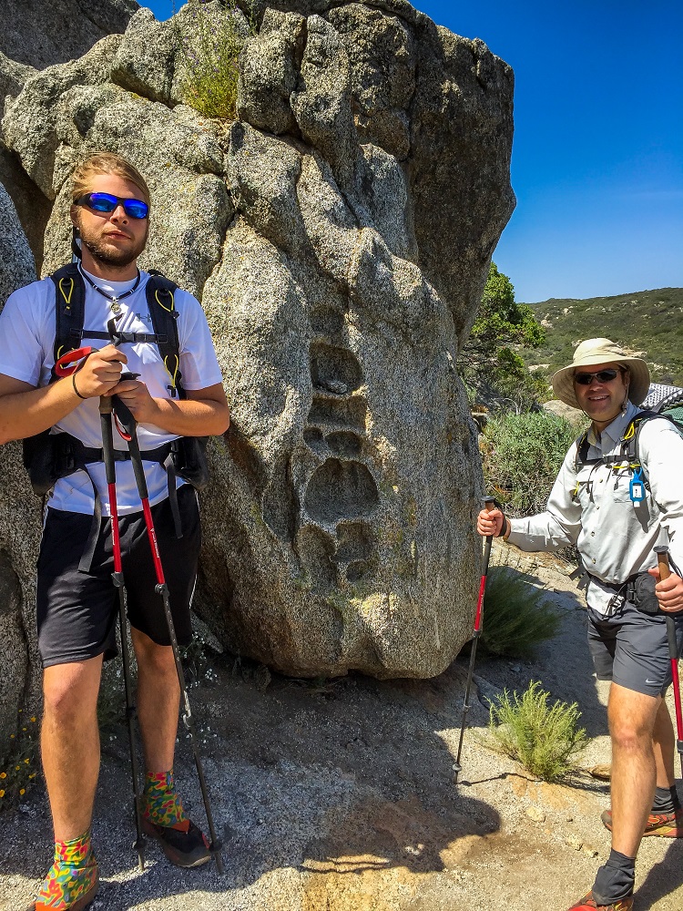
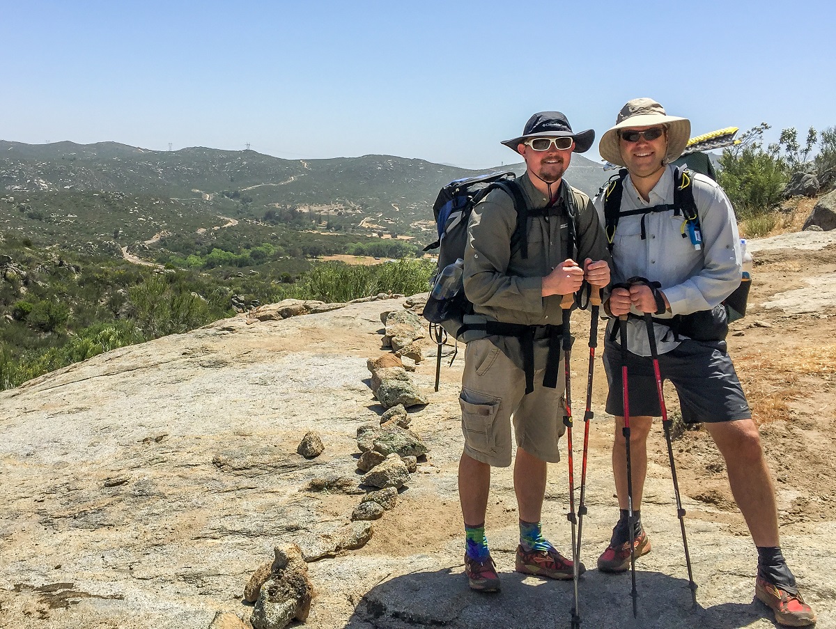
I also met a thru-hiker today who promptly tried to stick me with the trailname, Shock-cord, simply because my pack comes with several shock-cords attached. I politely declined but he insisted that was my name. I told him I’d call him Mariposa, because he hiked with a Mariposa pack, and the matter was dropped.

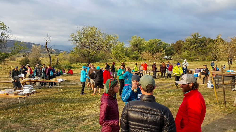
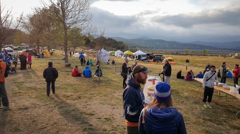
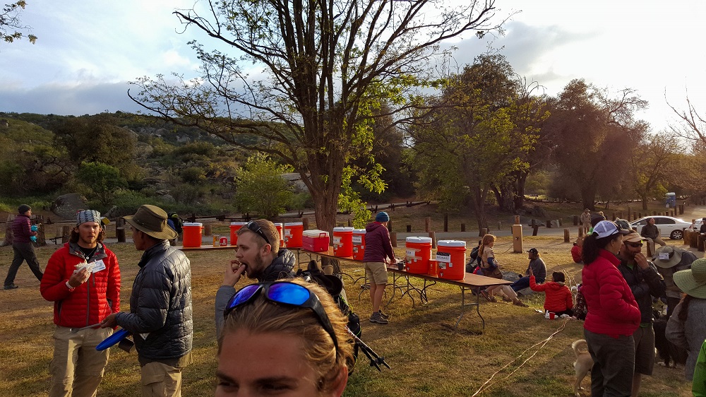
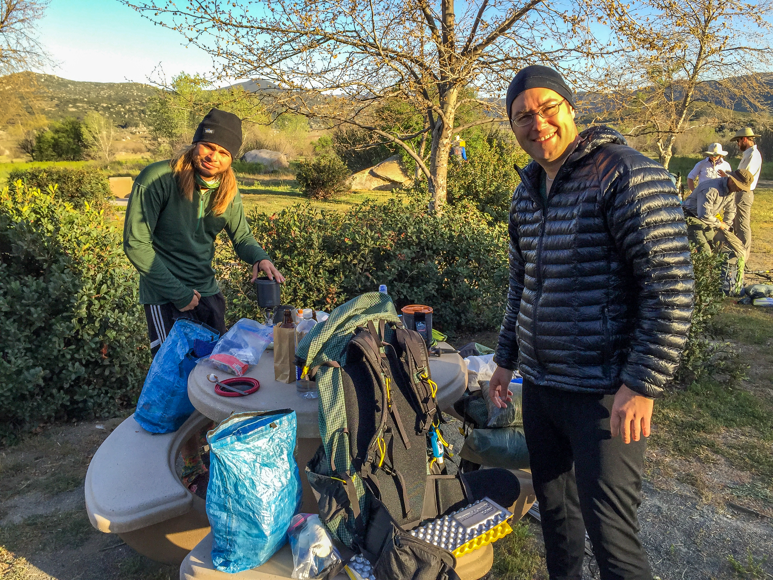
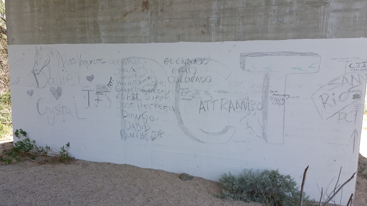
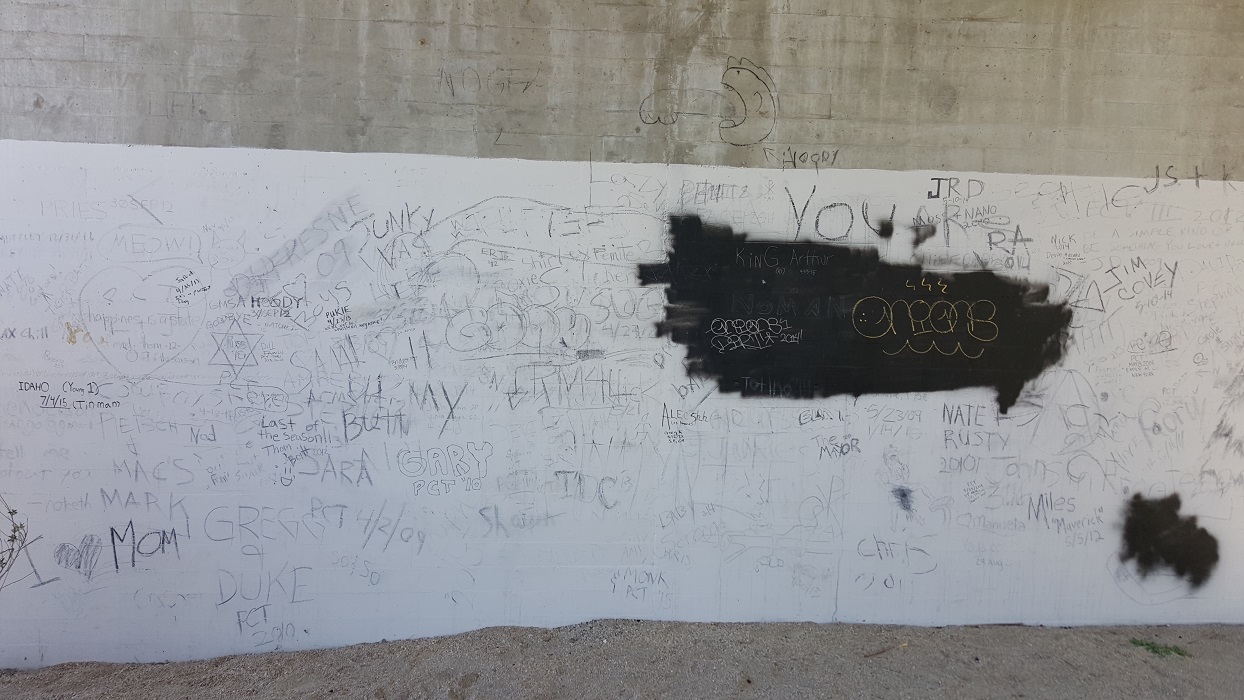
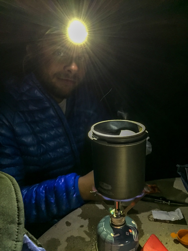
At present, I’m set up beneath a bridge in Warner Springs with 7 other hikers. It is still raining. There is a senior community center in town that I was pushing to reach before 4 pm for burgers. I got there at 3:20, but unfortunately the lady had just turned off the grill, grrr. At least I was able to buy a slice of Julian pie and ice cream for $5. Most of the hikers here will be returning in the morning for breakfast.
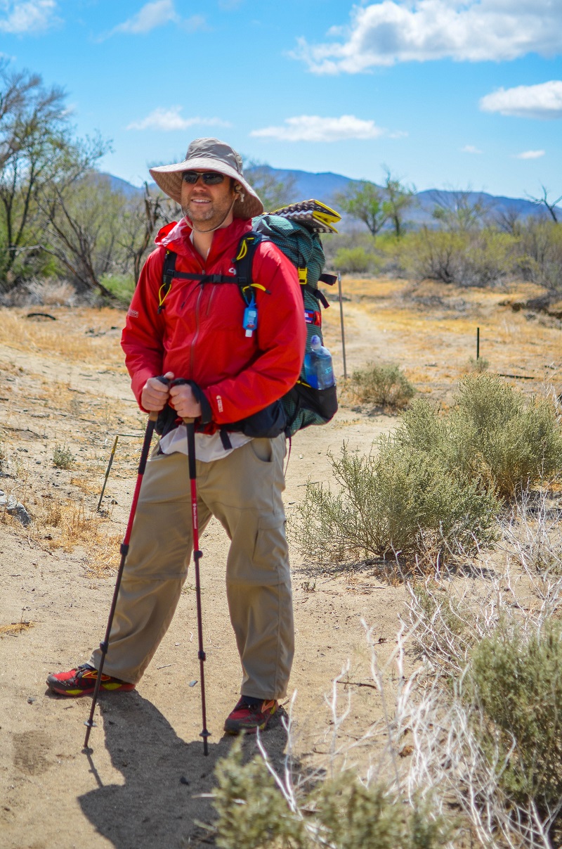
20150425_070542

20150425_073554

20150425_080549

20150425_085210

20150425_094033_001

20150425_102418

20150425_103709

20150425_122611

20150425_123621_Near Eagle Rock

20150425_123646

20150425_124030_001

20150425_124030_001_with arrow

20150425_133816

20150425_134900

20150425_135701

A couple of miles out from Warner Springs, I spoke with Six-2 here for the first time.
5 of us camped beneath this causeway.


20150425_170158

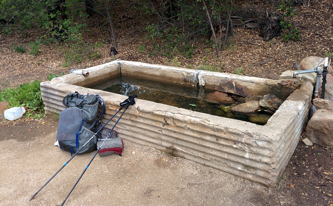
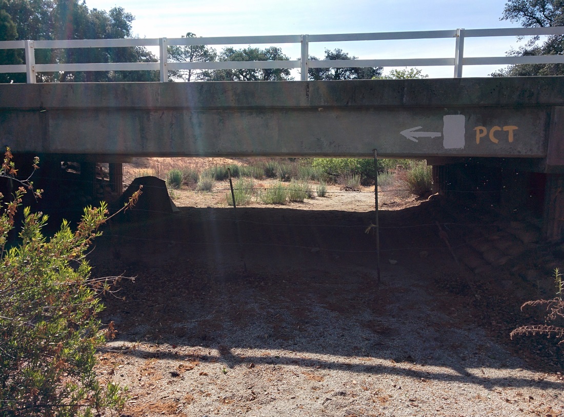
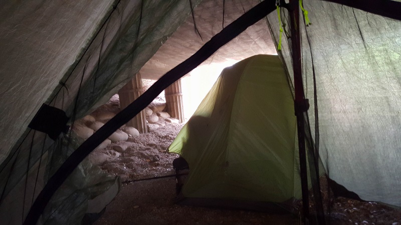
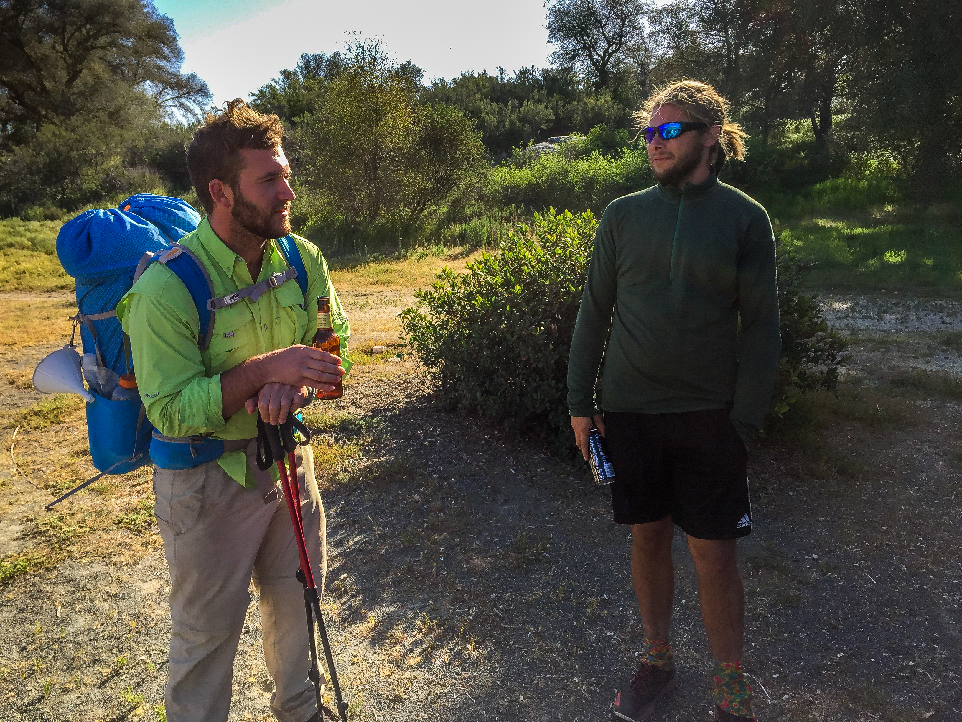
UPDATE: I met Six-2 for the first time, and Claire for the second at a water horse trough just prior to the senior community center. Six-2 was talking about his extensive overseas travels in southwest Asia and I knew he’d be an interesting person to know. He later cowboy-camped next to me that night, beneath a small overpass on the outskirts of ‘town’. I recall a good amount of water flowing in and he scrambled to dig a moat around himself, hehe. Another hiker, Illegal, and his friend were in awe that Six-2 could recite from memory nearly every trail town on the PCT map.

Day 10: A Very Windy Ridge

April 24th
Total mileage: 91.1
Today’s mileage: 14
PCT-Section-A_91

20150424_Panorama

We left Kickoff in the RV and headed to the town of Julian, about 13 miles away from where I’d gotten off trail at Scissors Crossing. There are several pie places in Julian, and one in particular, Mom’s Pies, is quite famous for graciously giving pie & ice cream to thru-hikers. For some reason, we ended up going to Julian Pies instead, right at opening. After a tasty treat, there was nothing left to do but hit the trail. My family returned me to Scissors Crossing. Beginning the ascent alone, it was sad to know that The Breeze’s hike was definitely finished and that I would not see my cousin & friend again for quite some time. It was also a bit daunting heading out, as I did not see another hiker before or after for quite some time.

20150424_Leaving RV

20150424_The Valley

20150424_141829_Near 3rd Gate

There was significant wind during most of the day. I realized I had developed a bit of chafing in a very uncomfortable place, but I also didn’t feel like there was any respite from the wind. I really needed to tear my pack apart and get to some anti-chafe product near the bottom. Instead, I carried on, much to my chagrin.20150424_Rocks

I’m camped in a very windy location, called Third Gate after Scissors Crossing. This is a famous water cache, although I don’t need any as I carried 4.5 today. Weather was quite cold, and I wore my rain kilt and gloves for the first time. I’m tired, and am glad I decided to pitch camp early. The tent is still wet from kickoff.

I did see one interesting thing of note today. There were three people in orange jump suits slowly walking around the sagebrush at the base of the ridge climb. I was far away, but it looked like they were possibly wearing insect bug netting hats. At first I thought they were corrections facility people, but I did see a Fire Department truck. The three were just slowly walking around…like they were looking for evidence. It was strange.

UPDATE: It’s funny, but looking back on it now, I almost met Six-2 this day. In the photo below, he had his hexamid tent set up prior to my arrival, in the bushes about 10 meters to the left of my tent. I think he was already nesting for the evening and we didn’t speak. It was also the first day I met my Dutch friend, Claire, whom I’d see on and off until Acton.

20150424_Tent


EXTRA: Joe Brewer has an excellent video showing this stretch of trail from Scissors Crossing (Mile 77) to Idyllwild (Mile 179). I highly recommend subscribing to his channel:

Day 8 & 9: Annual Day Zero Kickoff (ADZPCTKO)

April 22nd & 23rd

OxbowBurrito, Kiru, Nymeria and Ryan took The Breeze and I to the first kick-off at Lake Morena. They brought their RV. I felt like it was fairly priced for hikers, but thought that $30/guest adult was too much for cold burritos and coffee. (No disrespect intended.) It’s funny to look back at these photos now and recognize people whom I would not meet Yosemite.

Kick-off crowd #1

Kick-off crowd #2

One funny incident happened at 2 AM. I heard a hiker loudly call out, “Help!  Help!” …. And then someone called out from their tent, “What’s wrong?”
“I’m drunk and I don’t have a headlamp and I can’t find my lot.” I smiled and took comfort in knowing that was at least one person I was faring better than, hehe.

Below is well-known hiker Yogi on the right, in the red coat with white hat.

Kick-off crowd #3

James & Ryan

Day 6 & 7: Recharging at OxbowBurrito’s in Laguna Niguel

April 20th & 21st

We have temporarily stepped off trail to recharge a bit at OxbowBurrito’s house in Laguna Niguel. The Breeze’s knee injury appears to be significant, and he’s scheduled to see a sports doctor tomorrow to see if its manageable without causing permanent damage.
We’re still planning on attending the official 2-day kick-off event from Wednesday-Friday.

UPDATE: Unfortunately, The Breeze has a torn meniscus and very likely a torn ACL as well. He was told to stay off it and seek a surgeon once he’s home. We are headed to Kick-off now.

Day 5: An Insufferable Slogfest to Scissors Crossing

April 19th
Total mileage: 77
Today’s Mileage: 9  (Rodriguez Spur Truck Trail(68.4 mi) – Scissors Crossing(77.3 mi))
PCT-Section-A_77

Day 5 Vista 2

Day 5 - Stupid Tent

Day 5 Vista 1  Day 5 Umbrella Man

Day 5 - Checking location in the desert sun

Day 5 Shadow Day 5 - Two feet stones

Day 5 - PCT sign

Day 5 Seeking Shade

There were a dozen or so hikers at the Rodriguez fire watertank, and most had packed up and moved on before 7am. It was known that the next 30 miles were waterless, although the water caches at Scissors Crossing are often stocked and hikers can hitch into Julian if not. We didn’t push fast out of camp, as we knew we’d be stepping off trail at Scissors Crossing, which meant our first near-zero (nero) day of only 9 miles. It was a long, long 9 miles. The heat was oppressive in the high 80s, and our injuries really slowed us down. It was mostly a single-track narrow path that descended the ridgeline down to the desert basin, thousands of feet below. We both used our ChromeDome umbrellas for most of the day to great success.

We passed two southbound section hikers, one who was headed to Kickoff and the other who was giving chase in a sporty manner. Kinda bizarre to encounter these two people on a relatively narrow ledge, high above the barren landscape.

The trail finally dropped us down to the flat sandy badlands around mile 74, and we had a final 3 mile hike to the S2 highway, known as Scissors Crossing. We took refuge from the heat beneath a highway bridge, before our extraction. Mike had been dreaming of McDonald’s fries, and his wish was fulfilled about an hour later.

cropped toe blister

A Gate in the Badlands

Boulders around Mile 73

Day 5 - A Slogfest to Scissors Crossing

Day 5 - Mile 77 - the Badlands

Day 5 - Decompression at McDonald

Day 4: Bocce ball, a siesta, and a very long hot descent

April 18th
Total Mileage: 68     (Pioneer Mail Picnic (52.6mi) – Rodriguez Spur Truck Trail(68.4mi))
Today’s Mileage: 15.8mi
PCT-Section-A_68

Update: tough day in the heat but we reached mile 68. A 30 mile dry stretch beginning tomorrow. We are likely to get off at Scissor’s Crossing and hitch into Julian to deal with some things.

Day 4 - Tim at mile 52

Day 4 - Large Rock Wall

Day 4 - Descent

Day 4 - Last Panorama

Day 4 - Mike leading the pack
The Breeze leading a train of hikers.
Day 5 Group Siesta
A two hour siesta in the middle of nowhere.
Day 4 - Bocce Ball
Bocce ball is serious business. Dan even brought a regulation measuring tape to resolve a dispute.

Day 4 - End of a 21 mile day

Day 4 - Mike surveying the landscape

Day 4 - Panorama of hills

Day 4 - Panorama

Day 4 - Mike high above the desert basin

image

Day 3: Of Pine Cones and Drones

April 17th
Total Mileage: 52.6
Today’s Mileage: 20.6  (Fred Canyon(32mi) – Pioneer Mail Picnic Area(52.6mi))
PCT-Section-A_53

Around Mile 50

At the time of this entry, we’re at Mile 42 on the trail. It is still quite early in the day, but we decided to have a coffee and take a rest at a little cafe in Mt. Laguna. Last night, we cowboy camped and the temperatures dropped close to freezing. I only got about a single hour of sleep again, unfortunately. This time due to just being way too cold. I think the quilt I made is a bust, lol. I had it securely tucked around me, but felt extreme cold in specific regions. I need to check it today and see if more down needs to be pushed into other portions of the quilt (karo steps). At this point, I’m pretty certain I need to buy a Zpacks or similar alternative bag at kickoff.

The 6 miles we did this morning was beautiful, meandering up to 6,000 ft through a copse of pine trees. It is surreal to go from desert lowlands to pine trees within only a day. The trail is already littered with cones. We reached this town early in the day, and experienced our first resupply of buying in a local store. It was quite expensive. I spent around $34 for three days worth of food. The Idahoan potatoes that we bought for $.80 at WinCo are $3 here. At times, it feels more than just a fair mark-up for the remoteness and straight-out price gauging.

Mt Laguna resupply

Unfortunately, Mike’s knee is doing extremely poorly. It sounds like it is inflammed from repeated stress, originating with a soccer injury long ago. A helpful stranger highly advised us to reduce our mileage and take 15 minute breaks after every hour of hiking. I think we’ll reduce the next couple days significantly and see how it goes. We did that heavy mileage the first day mostly because it was a dry stretch, but now there appears to be plenty of water every 6 miles or so on trail.

One interesting note: last night, as we were staring up at the Universe, a very bizarre thing happened. Three aircraft flew right over us, and they were likely advanced military. They had an unconventional sound…maybe like a vacuum? My best guess is that perhaps they are the stealth choppers that were used in Pakistan a few years ago, or likely large drones. They didn’t have the typical helicopter wub-wub-wub rotor sound, but they weren’t moving at the speed of planes. They were all dark from the front, but we saw red-green lights on the backside, and the last plane had a different red light and felt like a chaser plane, that was perhaps recording data, or something of that sort. It was cool to witness… very strange.

Stay tuned, sports fans. We’re not on the ropes yet.

Day 3 vista rocks jutting

Day 3 vista

Typical trail  Large pine cone at horse trough
image

image

image

image

Day 2: A dry hot ascent

April 16
Total mileage: 36.9     (Lake Morena(20mi) – Long Canyon(36.9mi))
Today’s Mileage: 16.9mi (+1.6mi for water @ Cibbets Flat)
PCT-Section-A_37

Today started off a bit rough. The wind during our first night was very strong all through the night and my tent collapsed. (We knew this was a possibility as the ground we pitched on was small gravel and the stakes didn’t want to hold very well. Setting up in the dark on our first night was less than ideal.) Mike had the foresight to not use his tent and just sleep beneath the stars (cowboy camp).

Day 2 - Post Cowboy Camping

Foot maintenance has begun.


We ran into Miles again. I wouldn’t see him again until Mile 900, at which point his trailname had changed to Highwater.

Day 2 - Ironhusk

Mom & Maya returned this morning to rescue James from these plush accommodations, and with them came a welcome round of Monsters and Mountain Dew. We were back on trail by 9am, and immediately rewarded with a beautiful vista of fields with foothills rising in the distance.

Day 2 - All this is mine

Day 2 - Freedom  Day 2 - Safety Hazard sign

The day probably had more elevation than Day 1, and it just sorta snuck up on us. By 2pm, we were feeling the heat and the climb. At around mile 12.5 for the day, there was a gravel desert road that descended to the side, with a sign that said Cribbets Campground – .6 miles. Initially, we thought about calling it an early day, just to try and recharge after that brutal Day 1. Let it be stated that we have found that most signs lie. It was definitely more than .6 miles down, and the road descended the whole way, ugh. The campground was an anomaly. Green grass, plenty of shade, nice privies, water faucet, and not another soul in sight other than 12 or so hikers. This little green valley was completely surrounded by dusty, dry, relatively barren desert hills.

We took a siesta there, eating a meal and using the privy. One funny anecdote. I kept commenting to Mike that “I’m eating here, cmon!” Because I was certain he was passing gas. Finally, he said, “Man, you really stink.” We eventually realized that neither of us had been passing gas, and that instead we were inhaling the fumes from the privy, which was at least 150 meters away. Funny. It had no odor inside, but it was hitting us a long ways away. Guess their smokestack design works.

Those fumes might have been the inspiration we needed to move on. We ascended the mile back up to the actual trail and carried on another 4 miles, stopping at a little small alcove area where 8 other hikers have already set up. We were surprised to learn we’re at 5,300 ft tonight.

We’re both pretty banged up at the moment. Mike’s right knee has been really bothering him. Sounds like an old soccer injury that has flared up. My right ankle is quite sore at the point of contact with the top of the shoe. Also have only one nasty blister between two toes on left foot…and it is nasty. Will not show a photo, but it’s tempting. 🙂

Day 2 - No Vehicles, Im Serious

Day 2 - Strange Rock 2

Day 2 - Strange Rock 1

Day 2 - Bridge graffiti 1 Day 2 - Bridge graffiti 2  Day 2 - Manzanita trees

Day 2 - Fields of Green

image

image

Day 1: A Special Toast at the Southern Terminus

April 15th
US-Mexico Border(0mi) to Lake Morena(20mi)
Today’s Mileage: 20mi

PCT-Section-A_20

PCT - Section A-D

The Three Amigos at the Wall

We are now on trail! Our lofty goal was to leave James’ house in Irvine at 6 AM. That turned into 7 AM, and we reached the Southern Terminus sometime around 10 AM. James decided to join us on trail for the first day, which made the day especially exciting. He brought his bottle of 40-year old scotch to share for this momentous occasion, with appropriate glassware, and it was fun to share with Mom, Maya, Lori and Ryan. The 3 of us quickly toasted and drank, as someone said Border patrol was coming. By the time we’d finish photos and touching the actual wall, we started hiking at 11 am. This was a really late start for a 20-mile dry stretch. We were all carrying around 5.5 liters of water each, so a heavy haul.

For the first half of the day, the time and miles just fell off the clock, kinda like the first hour of a marathon. Everyone was super excited and the weather was perfect, topping out at 74 degrees late in the day.

We saw something interesting in a gully around mile 5.5. It was perfectly still coyote watching us. We soon realized it was caught in a barbed wire fence. Sad to know he’s going to have a long slow death. He looked already very gaunt.

Coyote stuck in barbed wire

Later in the day we also saw a small gray snake with a black stripe, that I think was just a typical garden snake, and also a bearded(?) lizard.

When we got around mile 13, we saw the upcoming descent into the canyon and, worse, the 2 mile ascent that awaited us. At this point, my partners were no longer singing or talking. We were kinda all on auto-pilot.


Day 1 Hauser Canyon


The ascent out of the canyon (mile 15-17) definitely proved to be the hardest part of the day. Mike realized he hadn’t eaten enough calories and was “bonking” as it’s known in the running world.


The three of us reached the top of the canyon around 6:30 and knew we had 3 miles to reach Lake Morena, where there was a small convenience store with milkshakes, beer, food, etc. At this point, we decided to really drop the hammer to reach the store, with the understanding that whoever reached it should order for the others if there was a fear of them closing! Mike and I reached the store in the dark, 15 minutes before they were to close the deli side. We order milkshakes for the three of us. James got trapped in a bit of windchill and his final miles sounded a bit hairy, but fortunately he made it with a fresh root beer malt waiting for him.

This trail town store is probably on par with all the others, but takes getting used to. They hardly have any prices posted. :/ They know hikers are exhausted and that they have a monopoly. $12 for a 6 pack of Mirrorpond, $12 for a burger, etc.

The three of us walked a half mile back to the official campground and found a spot to pitch and cook our chili. Little did we know what a rough night it would be!

Jurek’s Minnesota vegan chili with Fritos.


EXTRA: Joe Brewer has an excellent video showing this stretch of trail from Campo (Mile 0) to Scissors Crossing (Mile 77). I highly recommend subscribing to his channel: